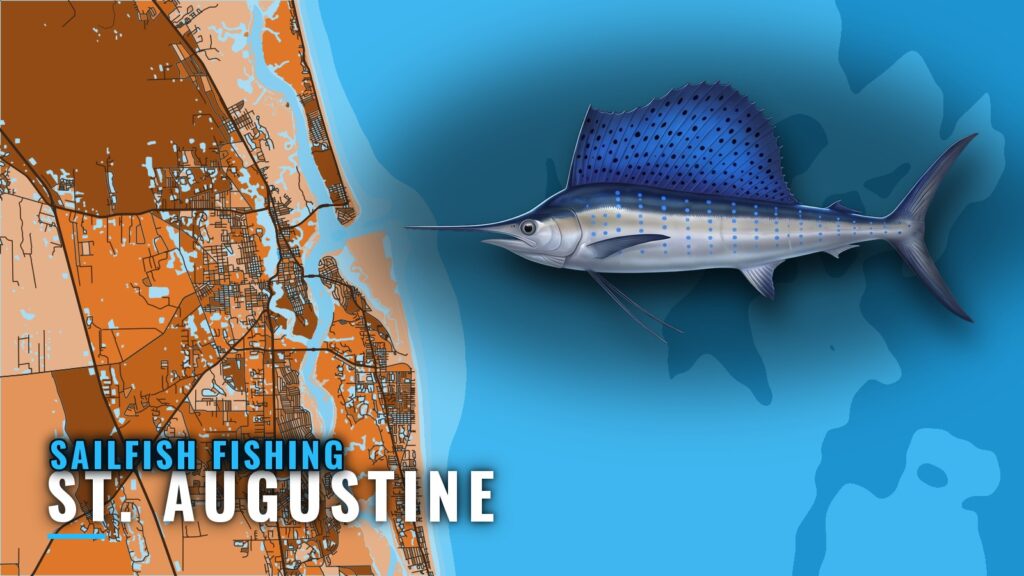
When sailfish are off St. Augustine
This port runs on two patterns. Departing from St. Augustine, you fish close to the beach in summer and out toward the Stream the rest of the year. Sailfish biology and behavior are covered in our sailfish guide; this page deals only with this port.
| Window | Where the fish are | Local marker |
|---|---|---|
| Summer | Within 15 miles | Long Line |
| Fall | Migration window | El Pescado tournament; Sly-Fox calls it prime time |
| Other times | Gulf Stream edge | Long Line |
Summer
Per Long Line, sailfish are within 15 miles of the beach in summer, a short run from the inlet.
Fall migration
Fall is a migration window, and the El Pescado tournament marks it locally. Sly-Fox calls fall prime time. The same movement shows up along the whole coast, which we cover in Atlantic Southeast sailfish (see also the wider Atlantic Southeast guide).
How far boats run
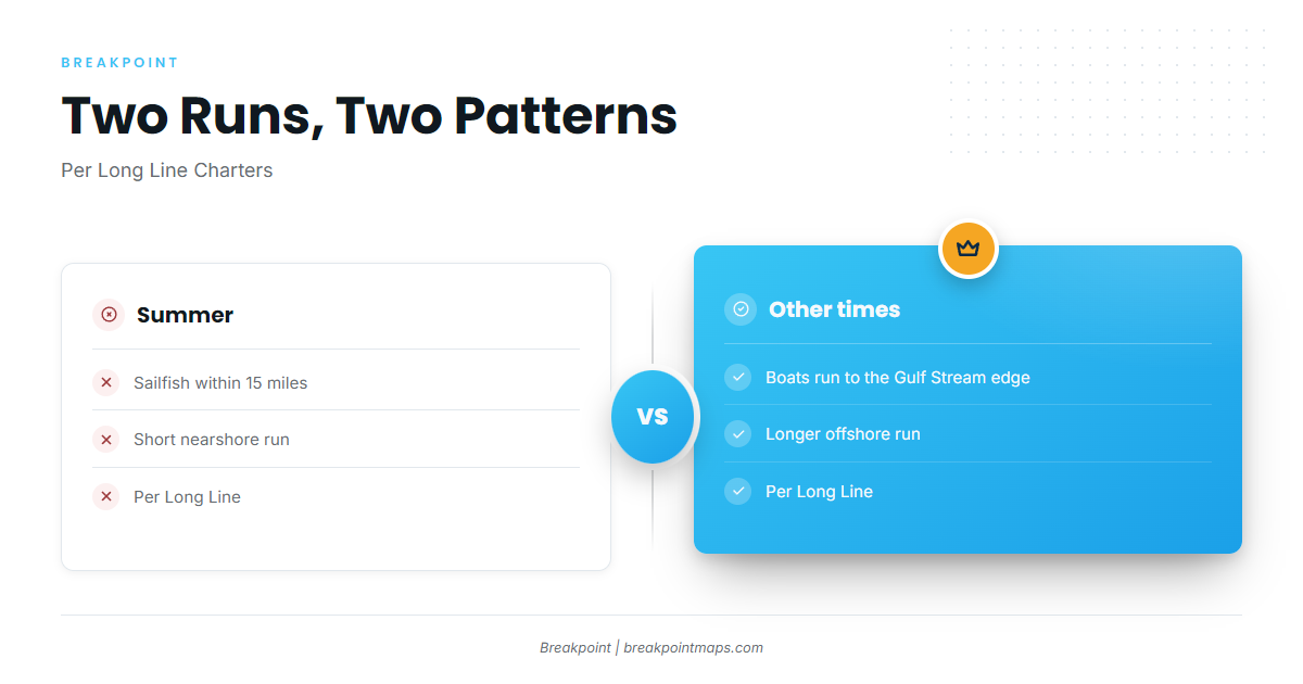
The run follows the season. In summer boats stay inside 15 miles; the rest of the year they go to the Gulf Stream edge.
Inside 15 miles
In summer, per Long Line, boats run within 15 miles. Nine Mile Reef is about 9 miles off St. Augustine per Long Line, so it falls inside that band. The other reefs in the next section have no distance figure here.
The Gulf Stream edge
At other times, per Long Line, boats run to the Gulf Stream edge. Plan on a longer run than in summer.
Reading conditions: buoy 41012
The nearest station is NOAA NDBC station 41012. It has no active replacement buoy, so there is no live buoy reading for this stretch. Before you run, check wind speed, wave height and period on the National Weather Service coastal waters forecast, and decide from those numbers.
Grounds and structure
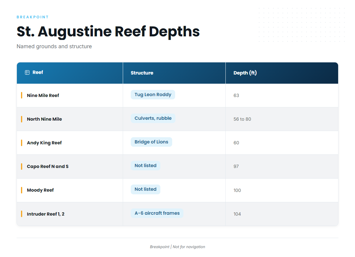
Shallow nearshore structure sits at 56 to 80 ft. Deeper structure at Capo, Moody and Intruder sits at 97 to 104 ft. Chart layers are not for navigation.
| Name | Structure | Depth (ft) | Position |
|---|---|---|---|
| Nine Mile Reef | tug Leon Roddy | 63 | About 9 miles off St. Augustine per Long Line |
| North Nine Mile Reef sites 1 to 7 | concrete culverts, dumpsters, rubble | 56 to 80 by site | Near 29 54 N, 81 07 W |
| Nine Mile North Reef | concrete culverts | 56 | 29 54 47 N, 81 07 01 W |
| Andy King Reef | Bridge of Lions permit area | 60 | 29 52.591 N, 81 09.207 W |
| Capo Reef North | 97 | 29 51 4 N, 80 46 2 W | |
| Capo Reef South | 97 | 29 50 59 N, 80 46 1 W | |
| Moody Reef | 100 | Not listed | |
| Intruder Reef 1 and 2 | A-6 aircraft frames | 104 | Reef 1 at 29 54 20 N, 80 48 10 W |
Nine Mile and North Nine Mile
The tug Leon Roddy sits on Nine Mile Reef at 63 ft. North Nine Mile Reef sites 1 to 7 are culverts, dumpsters and rubble at 56 to 80 ft by site. Nine Mile North Reef is concrete culverts at 56 ft.
Andy King
Andy King Reef sits in the Bridge of Lions permit area at 60 ft.
Capo North and South
Both Capo positions sit at 97 ft, deeper than the 56 to 80 ft nearshore band.
Moody
Moody Reef sits at 100 ft.
Intruder 1 and 2
Intruder Reef 1 and 2 are A-6 aircraft frames at 104 ft, the deepest structure listed. Reef 1’s position is in the table.
How it is fished here
Drop Down reports trolling with ballyhoo and sardines. That is the local pattern whether you run 15 miles or head for the edge. For broader technique, see our billfish guides.
Who fishes them out of this port
These St. Augustine charters list sailfish:
- Long Line Charters, Captain David Ledford
- Endless Summer Charters
- Drop Down Sport Fish Charters, Captain Alex
- For What It’s Worth Charters, Captain Chris Worth
- Sly-Fox out of Conch House, Captain Red Beard and crew
FAQ: sailfish out of St. Augustine
When are sailfish off St. Augustine?
Summer, within 15 miles, per Long Line. Fall is a migration window marked by the El Pescado tournament, and Sly-Fox calls fall prime time.
How far do boats run for sailfish?
Within 15 miles in summer and to the Gulf Stream edge at other times, per Long Line.
Which reefs are near St. Augustine?
Nine Mile Reef, North Nine Mile, Andy King, Capo, Moody and Intruder, at depths from 56 to 104 ft. The table above has the positions.
Which buoy covers this stretch?
NOAA NDBC station 41012. It has no active replacement buoy, so check the National Weather Service coastal waters forecast for wind, wave height and period.
What baits are used locally?
Drop Down reports trolling with ballyhoo and sardines.