When mahi-mahi are off St. Augustine
Mahi-mahi fishing out of St. Augustine varies by season. Long Line puts summer fish within about 15 miles of shore, and in other seasons the run is longer. Sly-Fox lists spring, summer and fall. Biology and range are covered in the mahi-mahi fishing guide.
| Season | Run | Source |
|---|---|---|
| Summer | Within about 15 miles of shore | Long Line |
| Other seasons | Longer run | Long Line |
| Spring, summer, fall | Listed as mahi-mahi seasons | Sly-Fox |
Summer inside 15 miles
Per Long Line, summer fish are within about 15 miles of shore, which puts the nearshore reefs in range of a day trip.
Spring and fall
Per Long Line, other seasons require a longer run. Sly-Fox lists spring, summer and fall as mahi-mahi seasons. The next section gives the distance.
Where boats run
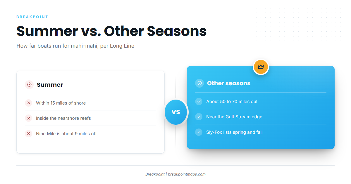
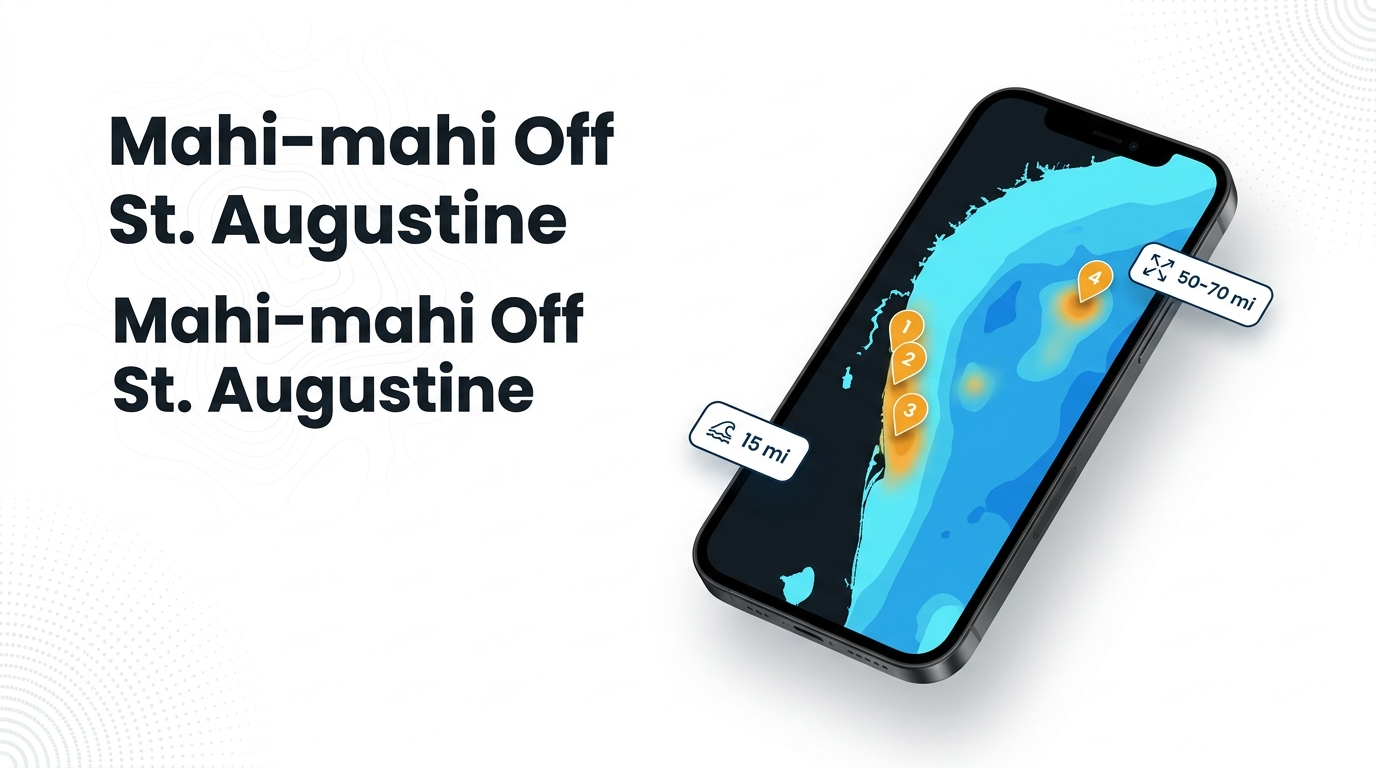
Boats run within 15 miles of the shoreline in summer and about 50 to 70 miles out, near the Gulf Stream edge, at other times, per Long Line. For coast-wide current and range context, see the Atlantic Southeast mahi-mahi guide (see also the Atlantic Southeast region guide).
| Time of year | Distance from shore | Where |
|---|---|---|
| Summer | Within about 15 miles | Nearshore reefs and open water |
| Other seasons | About 50 to 70 miles | Gulf Stream edge |
Summer: inside 15 miles
The reefs in the next section sit inside this range. Nine Mile Reef is about 9 miles off, per Long Line.
Other seasons: the Gulf Stream edge, 50 to 70 miles
At other times, Long Line puts these fish about 50 to 70 miles out, near the Gulf Stream edge. That is more than three times the summer run.
Reefs and structure off St. Augustine
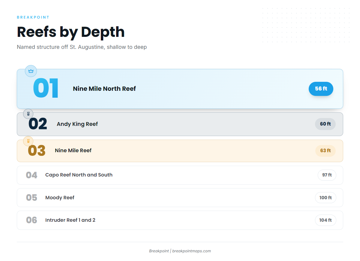
Named structure off St. Augustine ranges from 56 to 63 ft on the Nine Mile complex and Andy King Reef to 97 to 104 ft at Capo, Moody and Intruder.
Positions appear in the format each source gives. Andy King uses degrees and decimal minutes. Nine Mile North, Capo and Intruder Reef 1 use degrees, minutes and seconds. Set your chartplotter’s format to match before entering them.
| Reef | Structure | Depth (ft) | Position as given |
|---|---|---|---|
| North Nine Mile Reef, sites 1 to 7 | Concrete culverts, dumpsters, rubble | 56 (listed depths run 56 to 80 by site) | Near 29 54 N, 81 07 W |
| Nine Mile North Reef | Concrete culverts | 56 | 29 54 47 N, 81 07 01 W (DMS) |
| Andy King Reef | Bridge of Lions permit area | 60 | 29 52.591 N, 81 09.207 W (decimal minutes) |
| Nine Mile Reef | Tug Leon Roddy | 63 | About 9 miles off St. Augustine per Long Line |
| Capo Reef North | Not listed | 97 | 29 51 4 N, 80 46 2 W (DMS) |
| Capo Reef South | Not listed | 97 | 29 50 59 N, 80 46 1 W (DMS) |
| Moody Reef | Not listed | 100 | 26 miles east of St. Augustine |
| Intruder Reef 1 and 2 | A-6 aircraft frames | 104 | Reef 1: 29 54 20 N, 80 48 10 W. No position given for Reef 2 |
Reef positions load as waypoints from the St. Augustine port page. Chart layers are not for navigation.
Nine Mile and North Nine Mile
Nine Mile Reef holds the tug Leon Roddy at 63 ft, about 9 miles off St. Augustine, per Long Line.
North Nine Mile sites 1 to 7 are concrete culverts, dumpsters and rubble near 29 54 N, 81 07 W, with listed depths of 56 to 80 ft by site. Nine Mile North Reef is a separate listing: concrete culverts at 56 ft, 29 54 47 N, 81 07 01 W.
Andy King Reef
Andy King Reef sits in the Bridge of Lions permit area, offshore, at 60 ft. The position is 29 52.591 N, 81 09.207 W in decimal minutes.
Capo, Moody and Intruder
These are the outer group:
- Capo Reef North and South at 97 ft.
- Moody Reef at 100 ft, 26 miles east of St. Augustine.
- Intruder Reef 1 and 2, built on A-6 aircraft frames, at 104 ft, with a coordinate for Reef 1 only.
Reading conditions
The nearest NOAA buoy is NDBC station 41012, and it has no active replacement.
How mahi-mahi are fished here
Trolling is the local method, and it is the method the FWC dolphinfish profile describes. Drop Down fishes ballyhoo and sardines. For general trolling technique, see the offshore gamefish guides.
Who fishes for mahi-mahi out of St. Augustine
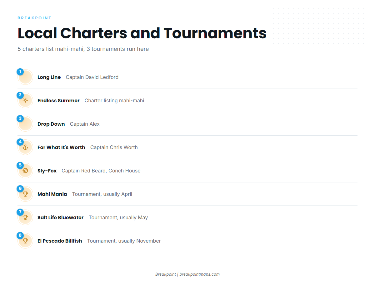
Five local charters list mahi-mahi, and three tournaments run out of St. Augustine.
Charters
- Long Line Charters, Captain David Ledford
- Endless Summer Charters
- Drop Down Sport Fish Charters, Captain Alex
- For What It’s Worth Charters, Captain Chris Worth
- Sly-Fox, Captain Red Beard and crew, departing from the Conch House
Tournaments
- Mahi Mania, usually April
- Salt Life Bluewater Tournament, usually May
- El Pescado Billfish Tournament, usually November
FAQ: mahi-mahi fishing out of St. Augustine
How far offshore are mahi-mahi off St. Augustine in summer?
Within about 15 miles of shore, per Long Line.
How far out is the Gulf Stream edge from St. Augustine?
About 50 to 70 miles, per Long Line. That is where these fish are found at other times of year.
What depth is Nine Mile Reef?
63 ft, on the tug Leon Roddy, about 9 miles off, per Long Line. The North Nine Mile sites run 56 to 80 ft.
Which reefs are farther out?
Capo North and South at 97 ft, Moody at 100 ft and 26 miles east, and Intruder at 104 ft on A-6 aircraft frames.
What baits do local boats use?
Trolling is the local method. Drop Down fishes ballyhoo and sardines.
Which mahi-mahi tournaments run out of St. Augustine?
Mahi Mania, usually in April. Salt Life Bluewater Tournament, usually in May. El Pescado Billfish Tournament, usually in November.