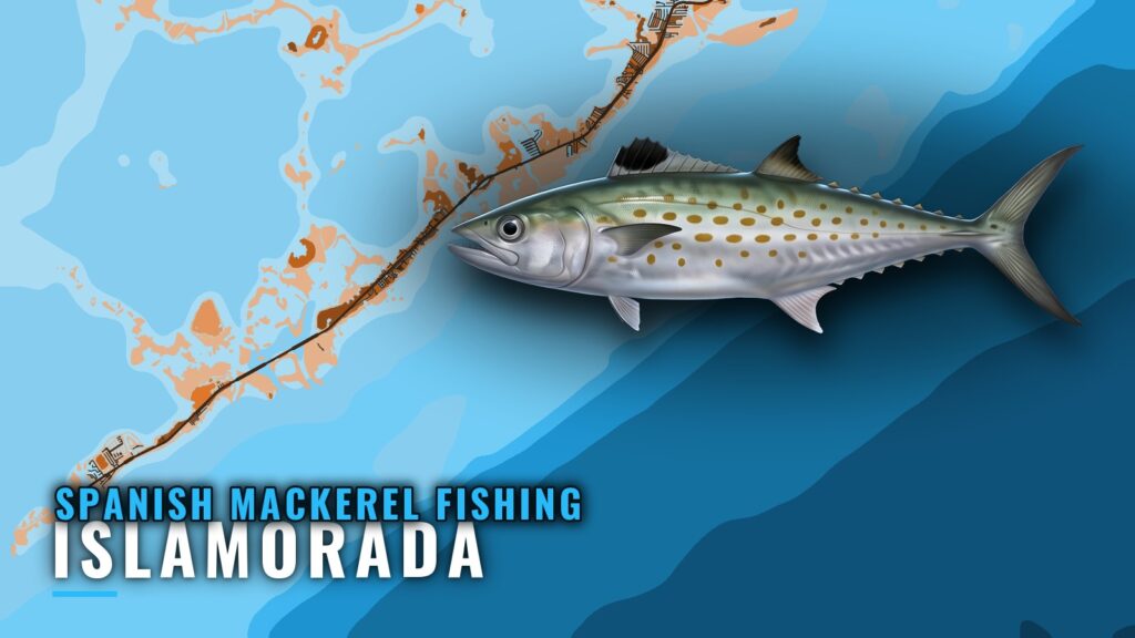
Spanish mackerel fishing out of Islamorada: when the fish are around
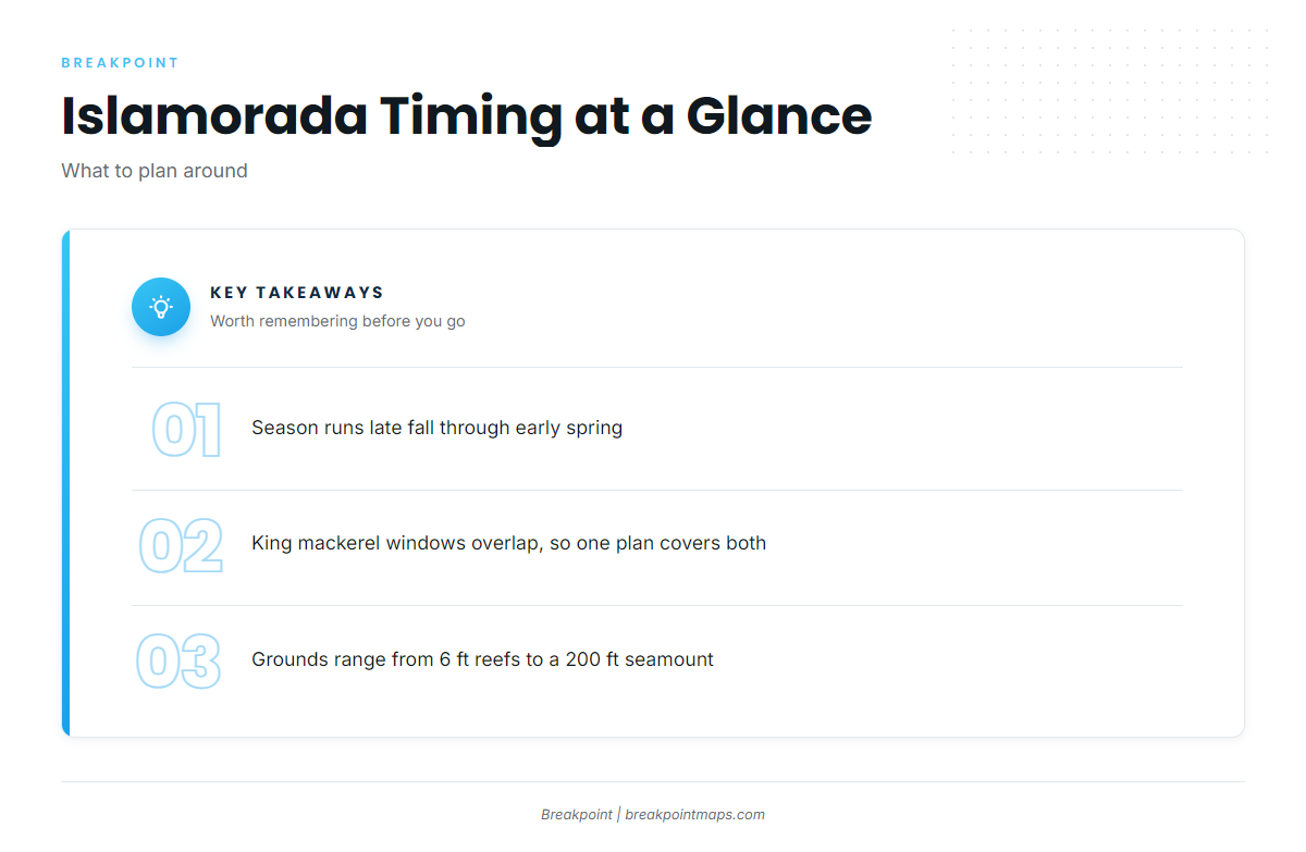
Spanish mackerel fishing out of Islamorada runs from late fall through early spring, on grounds ranging from 6 ft reefs to a 200 ft seamount about 15 miles out. Ramps, marinas and conditions are in the Islamorada port guide. Decide on the run first, then the tackle.
Late fall through early spring
Go Time Sportfishing Charters lists Spanish mackerel as common from late fall through early spring, which is the window. For the migration picture beyond this port, see the Atlantic and Southeast Spanish mackerel guide (see also the Atlantic Southeast fishing guide).
Overlap with king mackerel
Go Time groups Spanish mackerel with king mackerel. The seasons overlap, so one trip plan covers both.
Where boats run and the grounds that hold fish
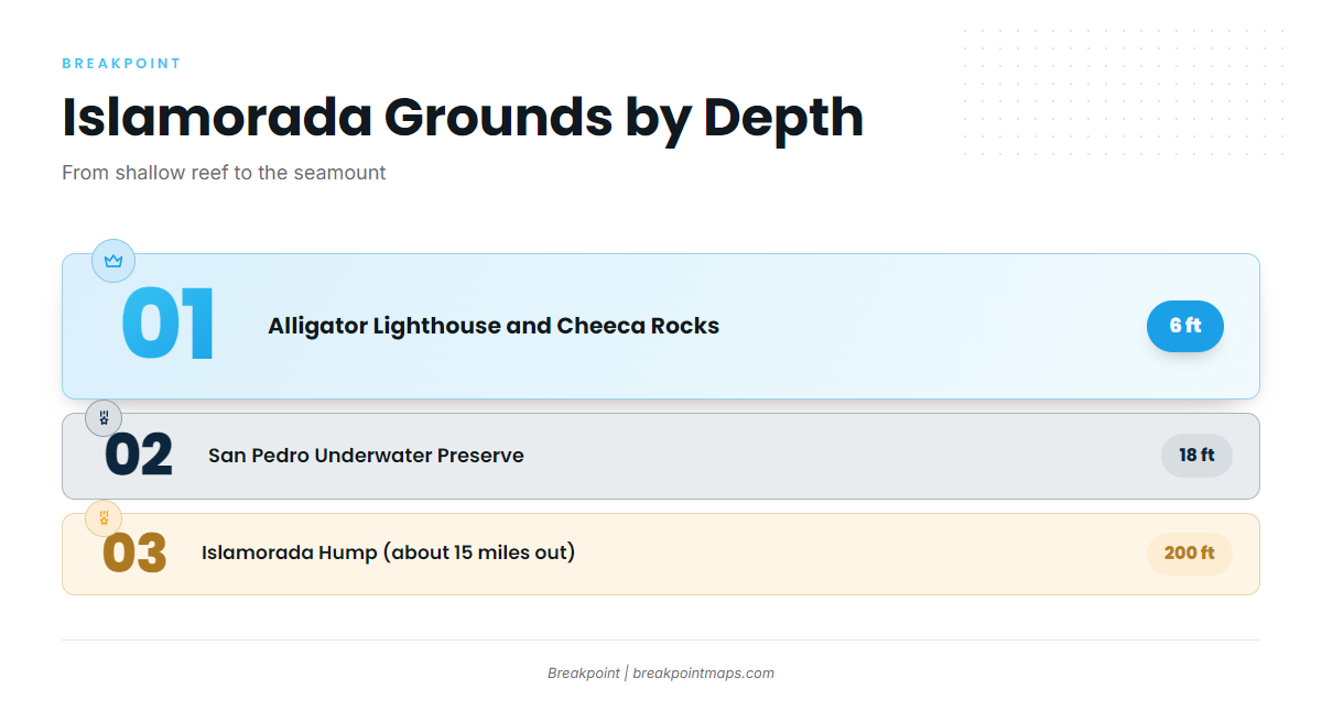
Runs go from short hops to shallow reef out to a 15-mile run to the Hump. The depth you want and the distance you are willing to cover decide which one you pick.
| Ground | Type | Depth | Distance |
|---|---|---|---|
| Alligator Lighthouse and Cheeca Rocks | Shallow reefs | 6 ft | – |
| San Pedro Underwater Archaeological Preserve | Spanish galleon | 18 ft | – |
| Alligator Reef | Reef | – | – |
| Molasses Reef | Reef | – | – |
| Eagle Wreck | Wreck | – | – |
| Bibb Wreck | Wreck | – | – |
| Duane Wreck | Wreck | – | – |
| Islamorada Hump | Seamount | 200 ft | About 15 miles offshore |
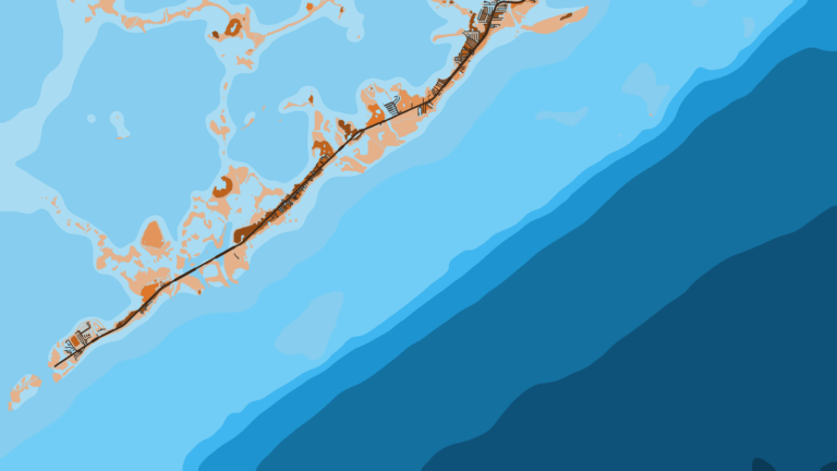
The Chart Contours layer shows the depth around each of these grounds. Chart layers are not for navigation.
Shallow reefs: Alligator Lighthouse and Cheeca Rocks
These reefs sit in 6 ft of water and are the shortest runs.
San Pedro Underwater Archaeological Preserve
The San Pedro Underwater Archaeological Preserve is a preserved Spanish galleon site in 18 ft. The regulations section below, and the pages it points to, cover what applies there.
Alligator Reef and Molasses Reef
Alligator Reef and Molasses Reef are the named reef grounds near Islamorada.
Eagle, Bibb and Duane wrecks
The Eagle, Bibb and Duane wrecks are the wreck structure in the local grounds.
Islamorada Hump
The Islamorada Hump is a seamount in 200 ft, about 15 miles offshore, at the far end of the run. Check the official NWS marine forecast for wind, wave height and period before running offshore.
How Spanish mackerel are fished from Islamorada
Local anglers choose between short runs to shallow reef and the 15-mile run to the Hump. The structure sets the plan:
- Shallow reef at 6 ft: Alligator Lighthouse and Cheeca Rocks, the shortest runs.
- Reef: Alligator Reef and Molasses Reef.
- Wreck: Eagle, Bibb and Duane.
- Seamount at 200 ft: the Islamorada Hump.
Because the season is shared with king mackerel, one trip plan can target both species. For tackle, tactics and biology, read the Spanish mackerel species guide.
Who fishes for Spanish mackerel out of Islamorada
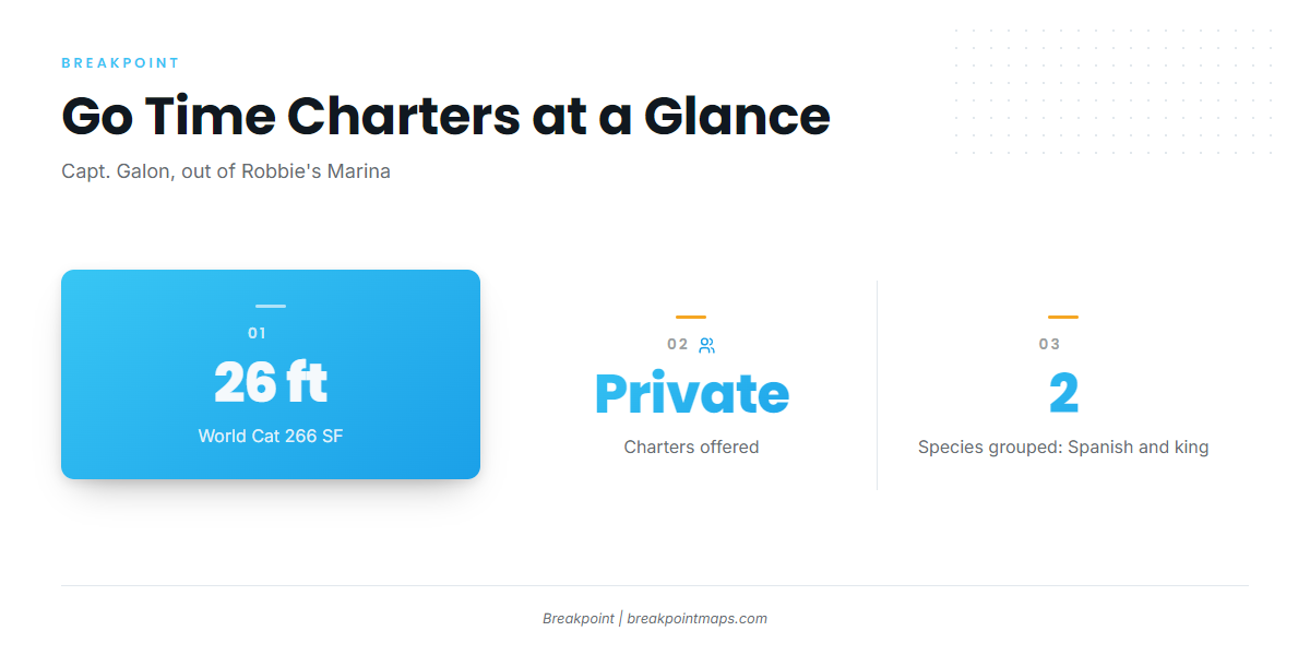
Go Time Sportfishing Charters lists Spanish mackerel. Capt. Galon runs a 26 ft World Cat 266 SF on private charters out of Robbie’s Marina.
| Operator | Captain | Boat | Departs from |
|---|---|---|---|
| Go Time Sportfishing Charters | Capt. Galon | 26 ft World Cat 266 SF | Robbie’s Marina |
Go Time groups Spanish mackerel with king mackerel. The other pelagics off this coast are covered in our coastal and offshore gamefish guides.
FAQ: Spanish mackerel fishing out of Islamorada
When are Spanish mackerel around Islamorada?
Late fall through early spring, according to Go Time Sportfishing Charters. The window overlaps with king mackerel.
How far is the Islamorada Hump?
About 15 miles offshore of Islamorada, in 200 ft. It is a seamount.
How deep are Cheeca Rocks?
Cheeca Rocks and Alligator Lighthouse are shallow reefs in 6 ft.
What is the San Pedro Underwater Archaeological Preserve?
It is a preserved Spanish galleon site in 18 ft. The regulations pages cover what applies there.
Which charter lists Spanish mackerel?
Go Time Sportfishing Charters lists them. Capt. Galon runs a 26 ft World Cat 266 SF on private charters out of Robbie’s Marina.
Where are the rules?
The Florida Fish and Wildlife Conservation Commission sets rules in state waters, and NOAA Fisheries sets them in federal waters, which include the Hump. Check both before fishing.