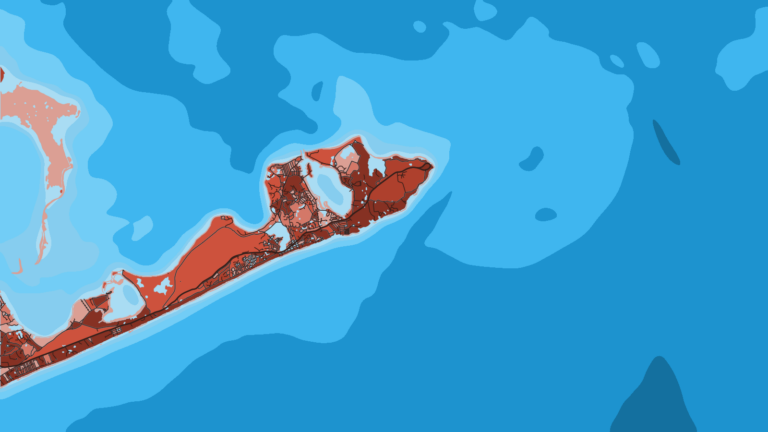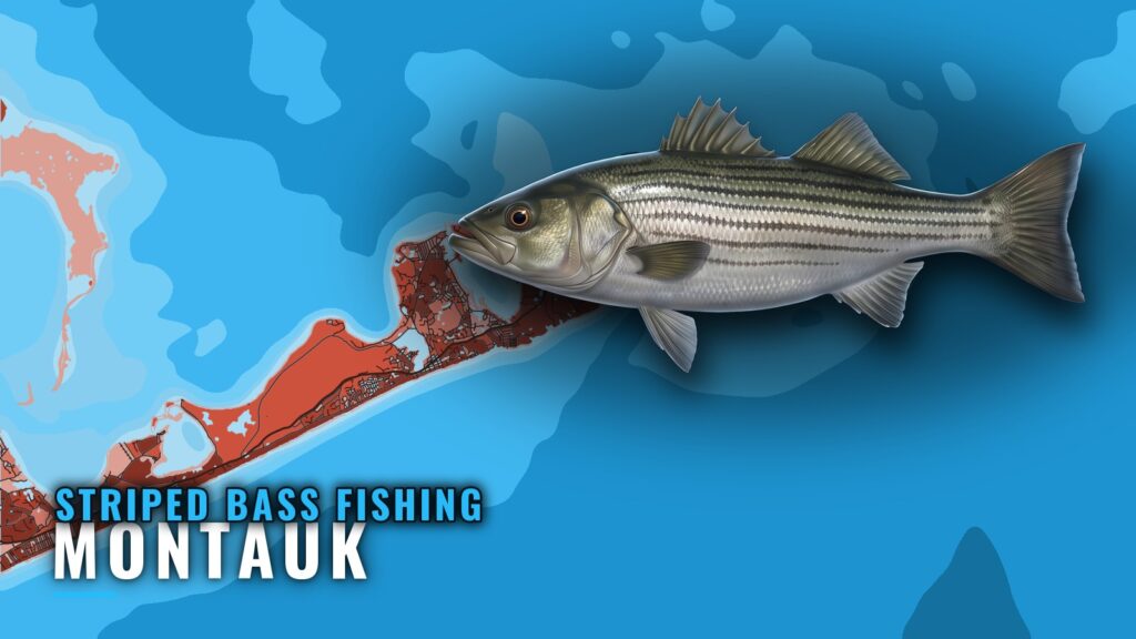
Where boats run for striped bass fishing out of Montauk
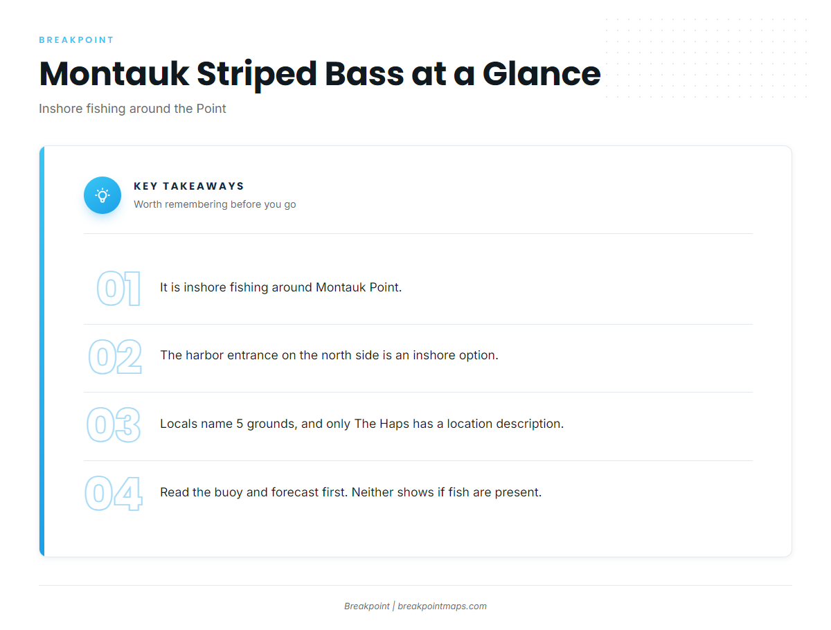
Striped bass fishing out of Montauk is inshore fishing, worked around Montauk Point and the harbor entrance on the north side. Locals call the Point "the Point," and the name is used the same way here. This section covers where boats run and what to read before you leave the dock.
Logistics, ramps and marinas are on our Montauk port page.
The Point. Montauk Point is the core inshore area, and the named grounds below are worked from it.
The harbor entrance on the north side. The harbor entrance is an inshore option that boats fish close to the dock. No tide stage, depth or productive time is published for it, so none is given here.
| Area | Type of fishing | Where it sits |
|---|---|---|
| Montauk Point (the Point) | Inshore | Core area |
| Harbor entrance, north side | Inshore | Close to the dock |
When the fish are around Montauk
This page has no calendar. Timing depends on the broader migration picture and shifts with water conditions.
- For biology and general behavior, read the striped bass fishing guide.
- For migration timing and the regional picture, read the Atlantic Northeast striped bass guide (see also the Atlantic Northeast offshore fishing guide).
- For the day-to-day decision, use the buoy and the forecast.
The buoy and the forecast tell you whether you can run. They don’t tell you whether fish are present.
Grounds and structure near Montauk
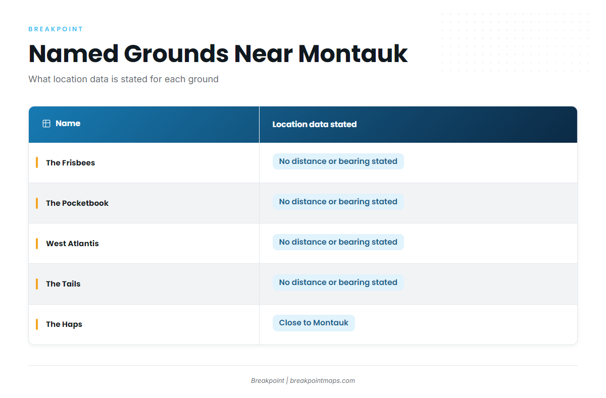
Locals name 5 grounds near Montauk: The Frisbees, The Pocketbook, West Atlantis, The Tails and The Haps. Only The Haps has a published location description: "close to Montauk."
| Name | Location data stated |
|---|---|
| The Frisbees | No distance or bearing stated |
| The Pocketbook | No distance or bearing stated |
| West Atlantis | No distance or bearing stated |
| The Tails | No distance or bearing stated |
| The Haps | Close to Montauk |
The Frisbees
The Frisbees is a named ground near Montauk. No distance or bearing is published for it.
The Pocketbook
The Pocketbook is a named ground near Montauk. No distance or bearing is published for it.
West Atlantis
West Atlantis is a named ground near Montauk. No distance or bearing is published for it.
The Tails
The Tails is a named ground near Montauk. No distance or bearing is published for it.
The Haps
The Haps is described as close to Montauk. No distance is stated.
Reading the grounds on a chart
You can view the named grounds against Chart Contours in Breakpoint. Chart layers are not for navigation; use official NOAA charts for that.
How striped bass are fished locally out of Montauk
Fishing here is inshore. Before you run to the Point, read NDBC station 44017 and the official marine forecast. Those numbers matter more to the day than any technique does.
Reading NDBC 44017 before the run
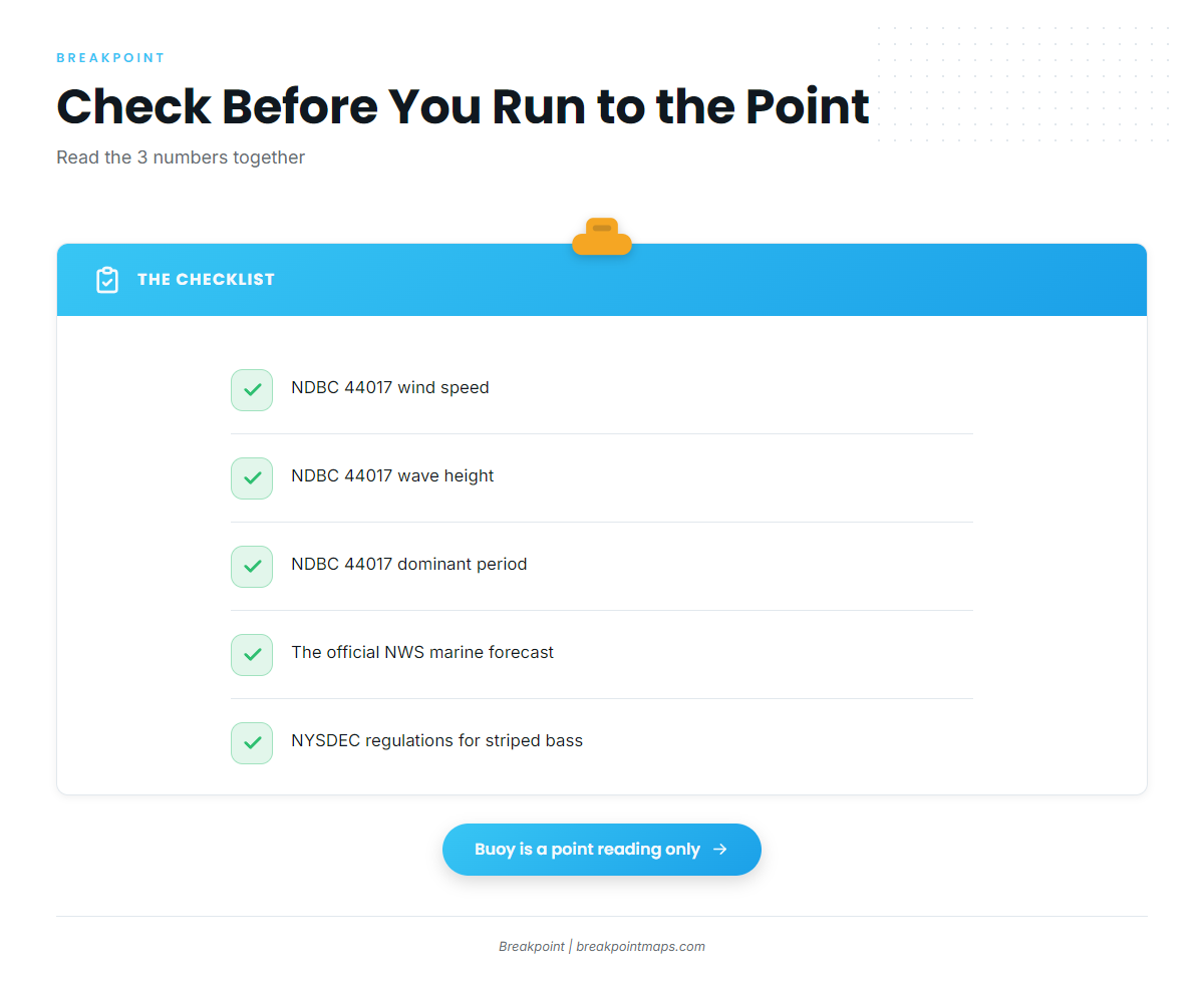
NDBC station 44017 (Montauk Point) sits at 40.693 N, 72.049 W. Check these 3 parameters:
- Wind speed
- Wave height
- Dominant period
Read the three together, since wave height alone leaves out how the period stacks the sea.
A buoy reading is a point measurement at 40.693 N, 72.049 W. It does not cover every rip around the Point. Check the NWS marine forecast for the zone, then compare it with what the buoy is reporting.
Who fishes here
Private boats run their own trips. Star Island Yacht Club is a local charter that lists striped bass. Details of its services are on Star Island Yacht Club‘s own site.
FAQ: striped bass out of Montauk
Where do boats go for striped bass fishing out of Montauk?
Boats run inshore around the Point, including the harbor entrance on the north side. Locals name 5 grounds nearby: The Frisbees, The Pocketbook, West Atlantis, The Tails and The Haps.
Where are The Pocketbook and The Haps?
The Haps is described as close to Montauk, with no distance stated. No distance or bearing is published for The Pocketbook. You can view both against Chart Contours in Breakpoint. Chart layers are not for navigation.
What should I check before running to Montauk Point?
Check wind speed, wave height and dominant period at NDBC station 44017, plus the official marine forecast. The buoy is a single point measurement and does not cover every rip around the Point.
Should I run my own boat or book a Montauk charter?
Running your own boat means reading the buoy and the forecast and finding the named grounds yourself. Star Island Yacht Club is a local charter that lists striped bass. Either way, you check the same numbers before leaving the dock.
What else is fished inshore and offshore out of Montauk?
Other inshore and offshore fishing is covered in our coastal and offshore gamefish guides, a reference for anything beyond striped bass.