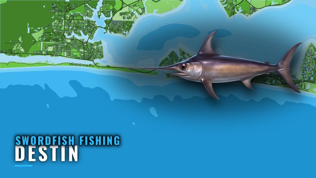
Swordfish trips out of Destin run from East Pass into deep offshore water, and the charter listings show how long that run is: Catching Memories lists a 12-hour swordfish trip. This page covers the named structure south of the pass with depths, distances and magnetic bearings, the charters that list swordfish, and where to check the tide.
Where boats run from Destin
Swordfish trips out of Destin go to deep offshore water south of East Pass. Plan fuel and time for a full day, since the listed trip is 12 hours. For the wider region, see our page on the Gulf deep-water picture (see also the Gulf of Mexico offshore fishing guide).
The run south crosses named Okaloosa County structure, and those sites work as waypoints on the way out and back.
What to plan around:
- Departure point: East Pass, with Destin Pass as the reference for bearings.
- Trip length: a listed 12-hour swordfish trip is the benchmark.
- Fuel and time: size both for the full day, not for the shelf sites alone.
Named structure south of East Pass
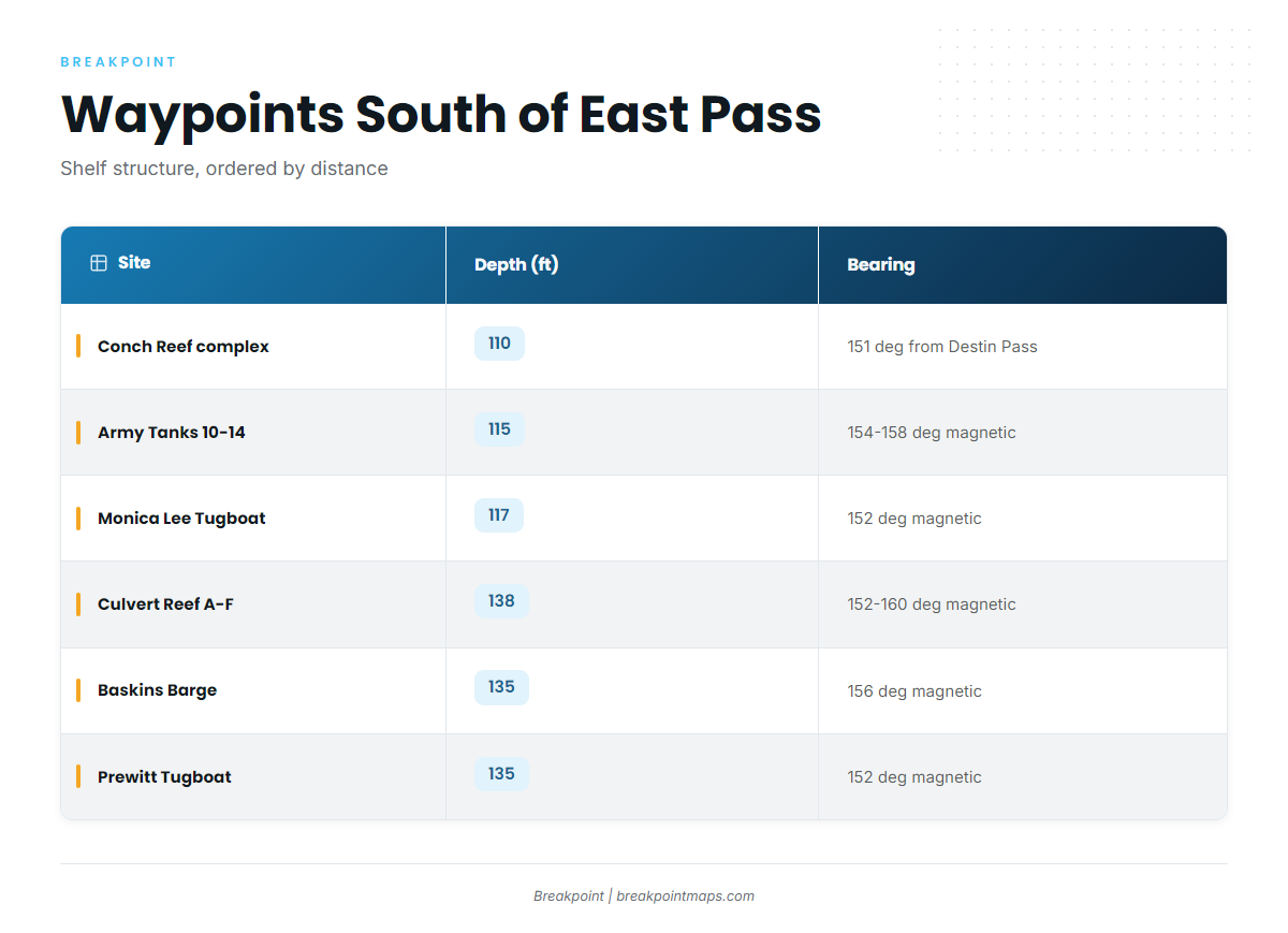
These are shelf sites in 60 to 138 ft. They mark the route but are not swordfish water.
| Site | Depth (ft) | Distance | Bearing | Notes |
|---|---|---|---|---|
| Conch Reef complex | 110 | About 15.2 nm | 151 deg from Destin Pass | |
| Army Tanks 10-14 | 115 | About 16.6-18.0 sm | 154-158 deg magnetic | |
| Monica Lee Tugboat | 117 | About 17.2 sm | 152 deg magnetic | |
| Culvert Reef A-F | 138 | About 20.3-25.1 sm | 152-160 deg magnetic | |
| Baskins Barge | 135 | About 21.8 sm | 156 deg magnetic | |
| Prewitt Tugboat | 135 | About 24.6 sm | 152 deg magnetic | |
| The Boatyard | 119 | M/V Miss JoAnn beside M/V Dylan and M/V Brannon; 40 ft relief | ||
| Miss Louise | 60 | Tugboat, Okaloosa County site OK-100; 95 ft long, 23 ft beam |
Swipe the table sideways to see every column.
Conch Reef is given in nautical miles from Destin Pass, while the other sites are given in statute miles on magnetic bearings. Keep the units straight when you plot them.
Conch Reef to Monica Lee
This is the first named structure on the run, spanning about 15.2 nm to 18.0 sm on bearings of 151 to 158 degrees. Conch Reef sits in 110 ft, Army Tanks 10-14 in 115 ft, and Monica Lee in 117 ft.
Culvert Reef, Baskins Barge and Prewitt Tugboat
This band runs 20.3 to 25.1 sm on bearings of 152 to 160 degrees magnetic. Culvert Reef A-F covers the widest stretch, in 138 ft. Baskins Barge sits at about 21.8 sm in 135 ft. Prewitt is the farthest single site at 24.6 sm, also in 135 ft.
The Boatyard and Miss Louise
The Boatyard is the M/V Miss JoAnn, placed beside the M/V Dylan and M/V Brannon, in 119 ft with 40 ft of relief. Miss Louise is a tugboat at Okaloosa County reef site OK-100, in 60 ft. She is 95 ft long with a 23 ft beam.
How swordfish are fished out of Destin
Locally, swordfishing shows up as trips listed by charter operators: a long day, booked through a charter. For timing and the basics of daytime and night swordfishing, see our swordfish species guide.
Charter trips that list swordfish
Catching Memories lists a 12-hour swordfish trip. Use that length to plan your own boat. If your fuel, crew and daylight don’t comfortably cover 12 hours, shorten the plan before you leave the dock.
Who fishes them
Charter Boat Into the Blue runs a 46 ft boat under Captain Nino Bright. If you own your boat and are weighing the run, booking a listed charter is one way to see it before you commit. It will teach you the water, though it doesn’t guarantee fish.
Reading conditions before the run
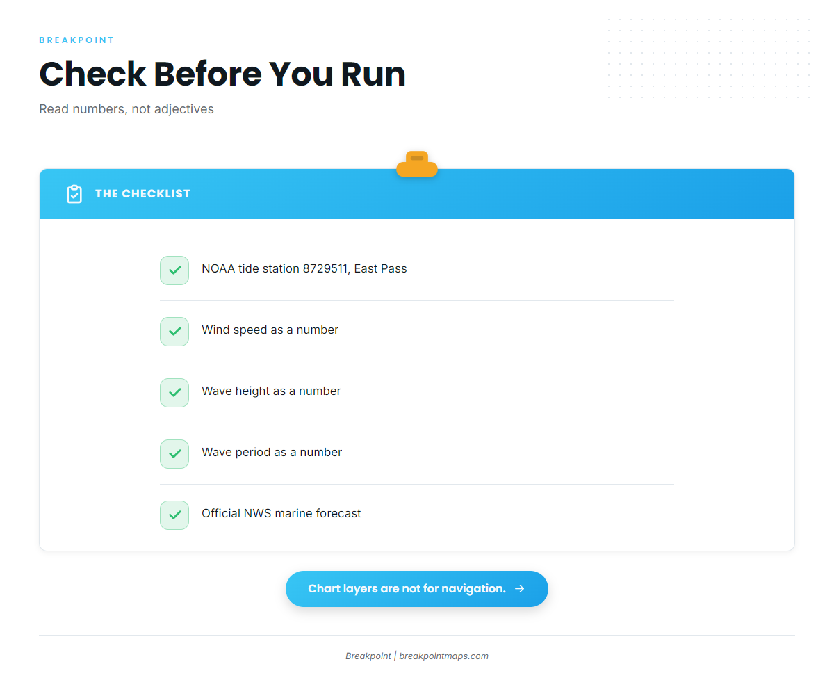
NOAA tide station 8729511, Destin, East Pass, is the tide reference for the pass. Check it before you cross.
For offshore conditions, read wind speed, wave height and period as numbers, then read the official National Weather Service marine forecast before you leave the dock. Chart layers and coordinates are not for navigation.
FAQ
How far do boats run for swordfish out of Destin?
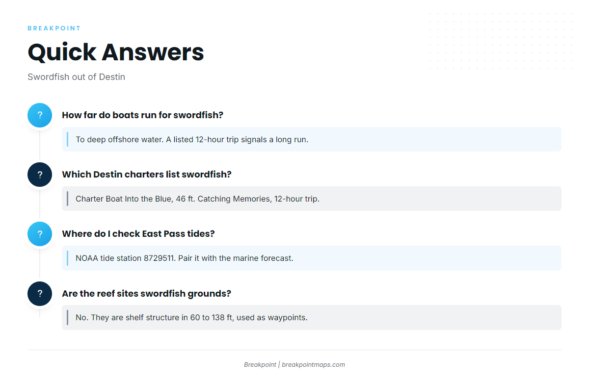
Boats run to deep offshore water south of East Pass. A listed 12-hour swordfish trip indicates a long run, so plan fuel and time for a full day. It is not a short shelf trip.
Which Destin charters list swordfish?
Charter Boat Into the Blue lists swordfish. It is a 46 ft boat, and the captain is Nino Bright. Catching Memories lists a 12-hour swordfish trip.
Where do I check tides at East Pass?
Use NOAA tide station 8729511, Destin, East Pass. Pair it with the official National Weather Service marine forecast, and read wind, wave height and period as numbers before you leave.
Are the Destin reef sites swordfish grounds?
No. They are named shelf structure in 60 to 138 ft, from 15.2 nm to 25.1 sm south of the pass. They work as bearing and distance waypoints on the run, not as swordfish water.
What other billfish can I target offshore of Destin?
Billfish trips share the same offshore run and the same planning habits. For species and technique, see our billfish fishing guides.