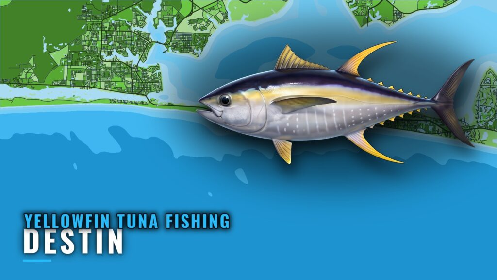
Yellowfin tuna fishing out of Destin starts at Destin and East Pass and runs to offshore structure in 110 to 138 ft of water. Boats troll over wrecks, tugs, barges and reef complexes roughly 15 to 25 miles from the pass. This page gives depths, relief, bearings and distances for 8 named grounds so you can decide where to look. The fish biology is covered in our yellowfin tuna guide.
When yellowfin are around Destin
The Emerald Coast Blue Marlin Classic is held in June and weighs largest yellowfin as its own category. That makes June the one seasonal anchor for this port, and a sensible time for crews to scout the grounds below ahead of the event.
How far and where boats run from Destin Pass
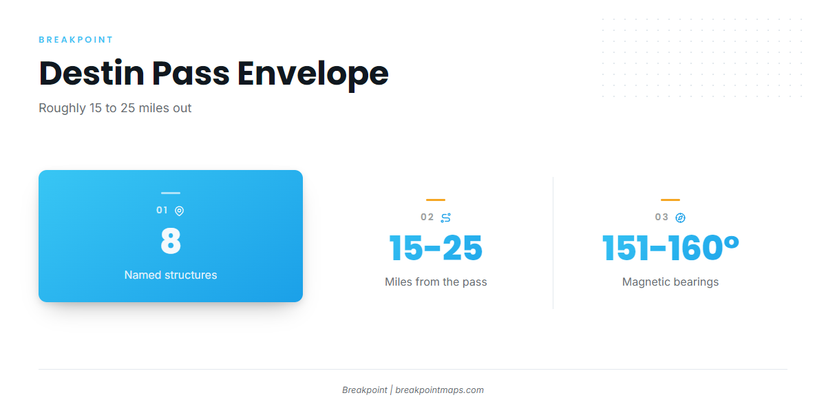
Every number in this guide is measured from Destin Pass, also called East Pass, and bearings are magnetic. The listed grounds sit in offshore Destin waters, roughly 15 to 25 miles from the pass, on bearings between 151 and 160 degrees.
Check the units, since statute miles (sm) and nautical miles (nm) differ. Conch Reef is listed in nm and the rest in sm. For water beyond these grounds, see our Gulf yellowfin picture (see also the Gulf of Mexico region guide).
What the data cannot see
NOAA tide station 8729511 reads tide at East Pass but does not report offshore wind or sea. The nearest official station at the pass is a tide station, not an offshore buoy. For wind and sea on the grounds, use the official NWS marine forecast.
Grounds and structure that hold yellowfin
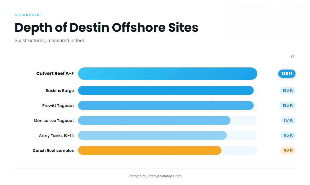
Chart layers and these bearings are not for navigation. In the app, the Chart Contours layer shows the depth around each site. The table runs from nearest to farthest, with the 2 sites that have no listed distance last.
| Name | Depth (ft) | Distance from pass | Bearing (magnetic) | Notes |
|---|---|---|---|---|
| Conch Reef complex | 110 | About 15.2 nm | 151° from Destin Pass | Reef complex |
| Army Tanks 10-14 | 115 | About 16.6 to 18.0 sm | 154° to 158° | Tank set |
| Monica Lee Tugboat | 117 | About 17.2 sm | 152° | Tugboat |
| Culvert Reef A-F | 138 | About 20.3 to 25.1 sm | 152° to 160° | Deepest listed site |
| Baskins Barge | 135 | About 21.8 sm | 156° | Barge |
| Prewitt Tugboat | 135 | About 24.6 sm | 152° | Tugboat |
| The Boatyard (M/V Miss JoAnn) | 119 | Not listed | Not listed | Relief 40 ft. Placed beside M/V Dylan and M/V Brannon |
| Miss Louise (tugboat, site OK-100) | 60 | Not listed | Not listed | Length 95 ft, beam 23 ft |
Swipe the table sideways to see every column.
Reef complexes
Conch Reef complex is the closest listed ground, 110 ft down and about 15.2 nm out on a 151 degree bearing from Destin Pass. Army Tanks 10-14 sits in 115 ft, about 16.6 to 18.0 sm out on 154 to 158 degrees. Culvert Reef A-F is the deepest listed site at 138 ft and spans 20.3 to 25.1 sm on 152 to 160 degrees, wide enough to treat as several stops rather than one.
Tugs and barges
Monica Lee Tugboat sits in 117 ft, about 17.2 sm out on 152 degrees. Baskins Barge sits in 135 ft, about 21.8 sm out on 156 degrees. Prewitt Tugboat sits in 135 ft, about 24.6 sm out on 152 degrees. Monica Lee and Prewitt share the 152 degree heading, so one line can touch both.
Wrecks without listed range
The Boatyard is built around the M/V Miss JoAnn wreck, placed beside M/V Dylan and M/V Brannon. It sits in 119 ft with 40 ft of relief. Miss Louise is a tugboat labeled OK-100, in 60 ft. It is 95 ft long with a 23 ft beam.
How yellowfin are fished out of Destin
Trolling is the local method, covering the water between structure on a common heading. The 152 degree line connecting Monica Lee, Culvert Reef and Prewitt is one example of a line you can work. For other tuna resources, see our tuna fishing guides.
Who fishes them
Catching Memories Charters lists yellowfin tuna out of Destin. If you run your own boat, the grounds above are the same structure the fleet works.
FAQ: yellowfin tuna out of Destin
How far do boats run for yellowfin tuna fishing out of Destin?
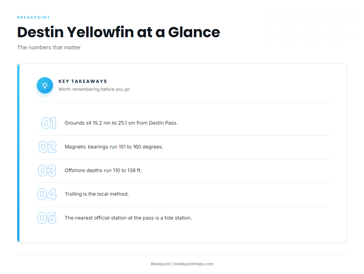
The listed grounds sit about 15.2 nm to 25.1 sm from Destin Pass, on magnetic bearings of 151 to 160 degrees.
What depth are the Destin yellowfin grounds?
The offshore sites run 110 to 138 ft. The Boatyard sits in 119 ft and Miss Louise in 60 ft.
What method is used for yellowfin out of Destin?
Trolling, which covers water between structure on a shared heading.
Is there a buoy at Destin Pass?
The nearest official station at the pass is NOAA tide station 8729511. It is a tide station and does not report offshore wind or sea. Use the NWS marine forecast for those numbers.
What June tournament weighs yellowfin in Destin?
The Emerald Coast Blue Marlin Classic, which weighs largest yellowfin as a category.
Which Destin charter lists yellowfin tuna?
Catching Memories Charters.