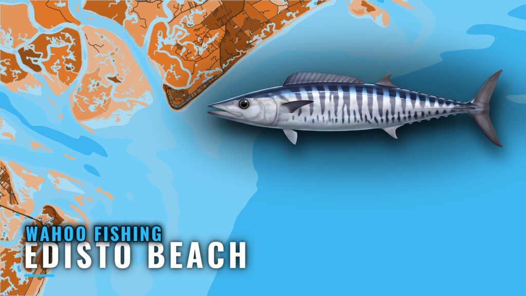
Wahoo fishing out of Edisto Beach means a run to the ledge at Edisto Banks or on to the Gulf Stream edge. Weather sets the calendar, and the windows are short. This page lays out the structure along the way, the coordinates, the buoy to read, and where the rules sit, so you can judge whether a day is worth the run.
When Wahoo Are Around Edisto Beach
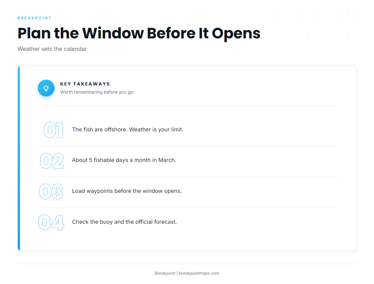
The fish are offshore, and the weather window is what limits you. For the general picture, read wahoo seasonality and behavior in the species guide and how the Gulf Stream moves along the Southeast (see also the wider Atlantic Southeast guide) in the regional guide. This page covers the port itself.
Weather Sets the Calendar: About 5 Fishable Days a Month in March
Local reports put March at about 5 fishable days a month. With a window that short, the run needs to be planned before it opens. Load your waypoints and check the buoy the night before.
Reading NDBC 41004
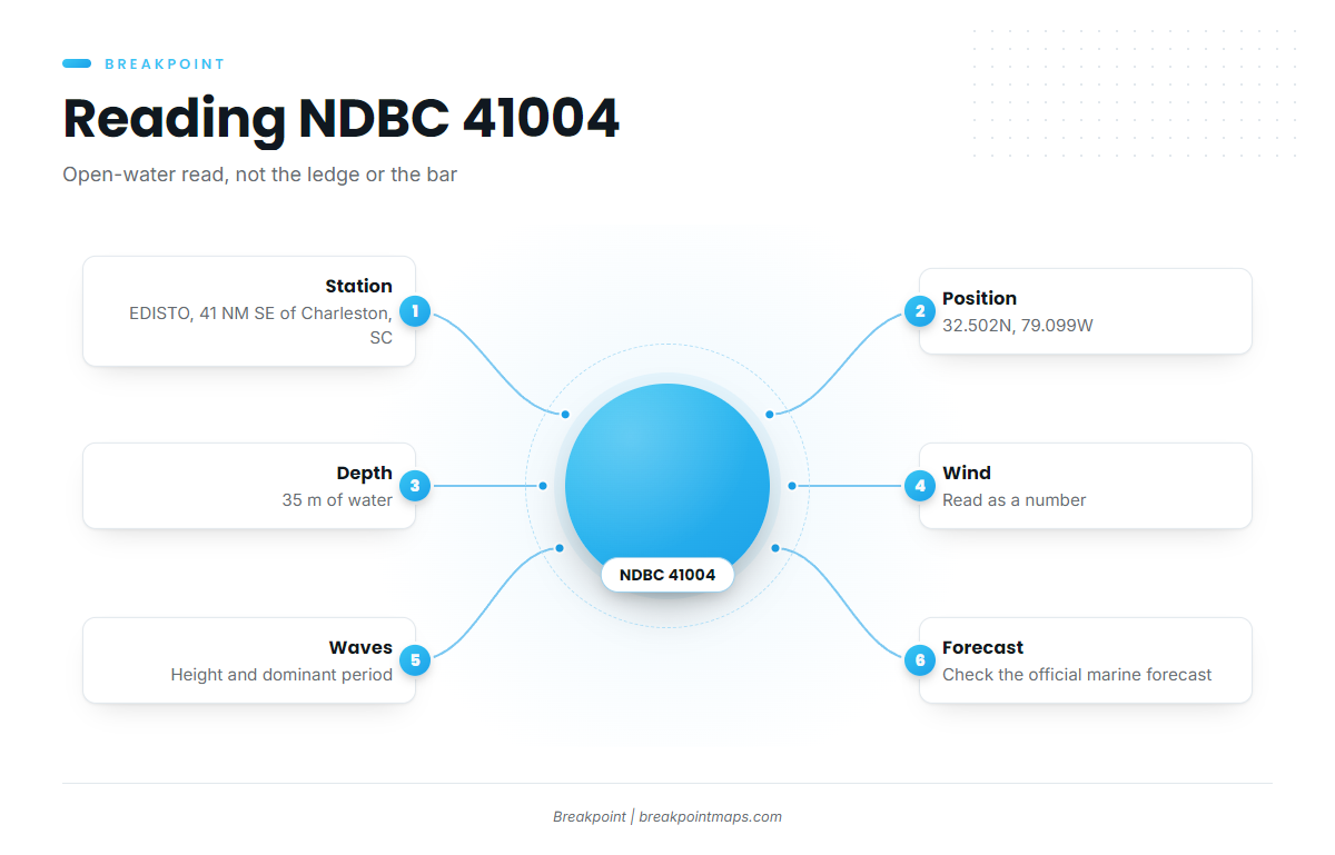
NDBC Station 41004 EDISTO readings come from a buoy 41 NM southeast of Charleston, SC, at 32.502N, 79.099W, in 35 m of water. Read three numbers: wind, wave height and dominant period.
The station reports open water off Charleston. It does not measure conditions at the ledge or at the inlet, so it tells you what the ocean is doing but not what your bar is doing. Check the official NWS Charleston marine forecast before you commit.
Where Boats Run
Boats go to one of two places: the ledge or the Gulf Stream edge. Inlets, ramps and navigation notes are on the Edisto Beach port page.
The Ledge
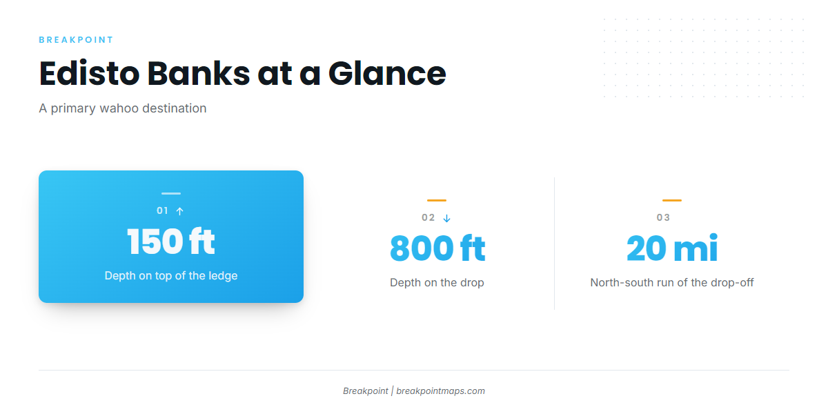
Edisto Banks is the ledge, a steep drop-off running north-south for about 20 miles, from 150 ft on top to 800 ft on the drop. It is a primary wahoo destination out of this port.
The Gulf Stream Edge
Boats that clear the ledge keep going to the Gulf Stream edge. Where the edge sits on a given day depends on the ocean data, so check it the night before.
Grounds and Structure Near Edisto Beach
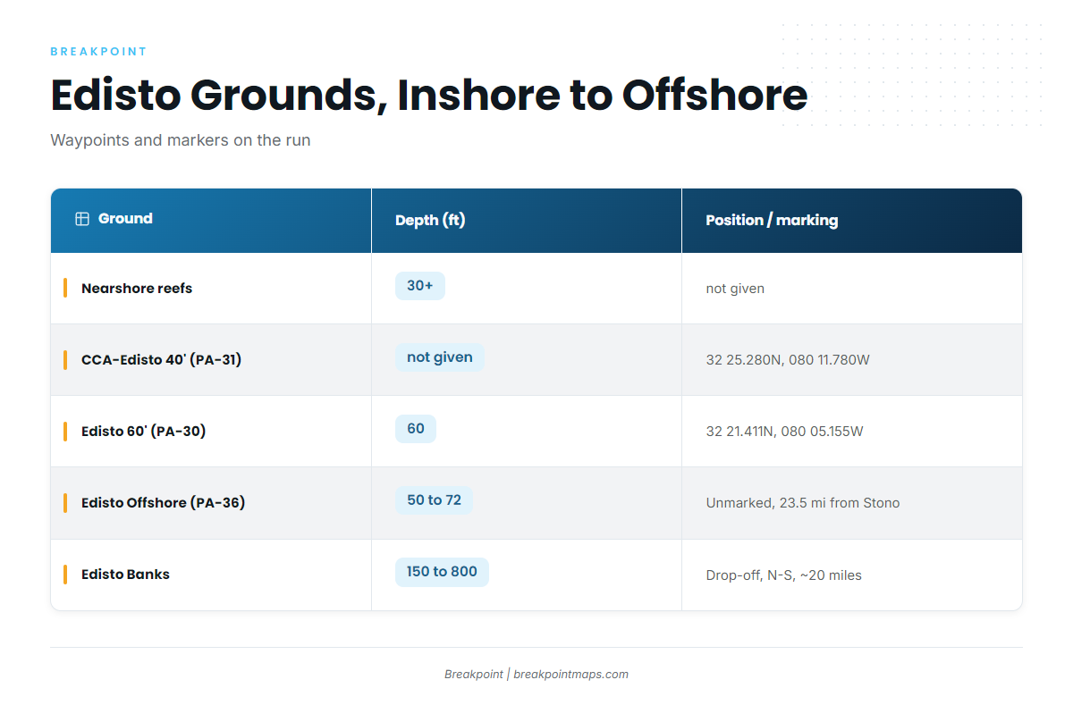
The table lists the structure in the order a boat passes it, inshore to offshore. The reefs are waypoints and markers on the run. The wahoo destination is the ledge and the Gulf Stream edge.
| Ground | PA # | Depth (ft) | Position/marking |
|---|---|---|---|
| Nearshore reefs | about 30 and deeper | ||
| A-Can, South Edisto River mouth | |||
| CCA-Edisto 40′ Reef | PA-31 | Reef buoy 32 25.280N, 080 11.780W | |
| Edisto 60′ Reef | PA-30 | 60 | Reef buoy 32 21.411N, 080 05.155W |
| Edisto Offshore Reef | PA-36 | 50-72 | Unmarked, 23.5 miles from Stono Inlet |
| Edisto Banks (the ledge) | 150 on top to 800 on the drop | Steep drop-off running north-south for about 20 miles |
Nearshore Reefs
Depths run about 30 ft and deeper.
A-Can off the South Edisto River Mouth
The A-Can is a landmark at the mouth of the South Edisto River.
CCA-Edisto 40′ Reef (PA-31)
Reef buoy at 32 25.280N, 080 11.780W.
Edisto 60′ Reef (PA-30)
Depth is 60 ft. Reef buoy at 32 21.411N, 080 05.155W.
Edisto Offshore Reef (PA-36)
Depth is 50 to 72 ft, 23.5 miles from Stono Inlet. The reef is unmarked, so run it by waypoint.
Edisto Banks
Depth runs from 150 ft on top to 800 ft on the drop, along a steep drop-off running north-south for about 20 miles. Chart Contours shows the 150 to 800 ft break along Edisto Banks. Chart layers are not for navigation.
How Wahoo Are Fished Here and Who Fishes Them
Boats here work the structure edge to edge, and at least one local charter lists wahoo.
Working the Ledge and the Edge
Boats work the drop-off along Edisto Banks and the Gulf Stream edge beyond it. The change from 150 ft to 800 ft is the feature to work along. For method, see tackle and technique for wahoo in the species guide.
Charter Listing: Second Wind Charters
Second Wind Charters on FishingBooker lists wahoo. The boat is a 26′ Sea Hunt 265 Ultra center console, run by Captain Kevin Latham, for up to 6 anglers.
FAQ About Wahoo Fishing out of Edisto Beach
How Far Do Boats Run for Wahoo from Edisto Beach?
Boats run to the ledge at Edisto Banks or on to the Gulf Stream edge beyond it. For a waypoint on the way, Edisto Offshore Reef (PA-36) sits 23.5 miles from Stono Inlet. The port page covers getting out.
What Is Edisto Banks?
Edisto Banks is the ledge, a steep drop-off running north-south for about 20 miles. Depth runs from 150 ft on top to 800 ft on the drop.
Which Buoy Should I Check?
NDBC Station 41004 EDISTO, 41 NM southeast of Charleston, SC, at 32.502N, 79.099W, in 35 m of water. It reads open water off Charleston, not the ledge or your bar. Pair it with the official marine forecast.
Is PA-36 Marked?
No. Edisto Offshore Reef (PA-36) is unmarked, 50 to 72 ft, and 23.5 miles from Stono Inlet. Run it by waypoint.
Are There Charters That Target Wahoo?
Second Wind Charters lists wahoo. Captain Kevin Latham runs a 26′ Sea Hunt 265 Ultra center console for up to 6 anglers.
What Else Is Out There on the Same Run?
The same offshore run is covered in our offshore gamefish guides. Start there for the other species that share the water.