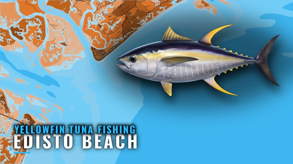
Yellowfin tuna fishing out of Edisto Beach is a Gulf Stream troll that starts at the A-Can off the South Edisto River mouth. The spread is a set of outriggers pulling ballyhoo under Sea Witches and Ilanders on 30-pound tackle. Local reporting centers on June.
When yellowfin are here
June is the only seasonal fact we hold for this port, so we don’t guess at shoulder months.
For biology, habits and the full calendar, see the yellowfin tuna species guide. For how the fish move along this coast beyond one port, see the Southeast Atlantic picture (see also the Atlantic Southeast offshore fishing guide).
Where boats run
Gulf Stream trips out of Edisto Beach start at the A-Can off the South Edisto River mouth and run to blue water. The port page has the launch and inlet detail.
The A-Can
The A-Can is the local starting mark off the South Edisto River mouth. Take its position from the official chart before you load it.
Blue water
A captain who fishes this run says the spread catches whatever roams blue water. Plan on a blue-water troll with yellowfin as the target, with no guarantee of yellowfin. The ledge covered in the next section is where the shelf drops toward that water.
NDBC 41004
NDBC Station 41004 EDISTO sits 41 NM southeast of Charleston at 32.502N, 79.099W, in 35 m of water. Check wind, wave height and period at the station before you run, and read the official marine forecast. The buoy reports offshore conditions and says nothing about the inlet.
Grounds and structure
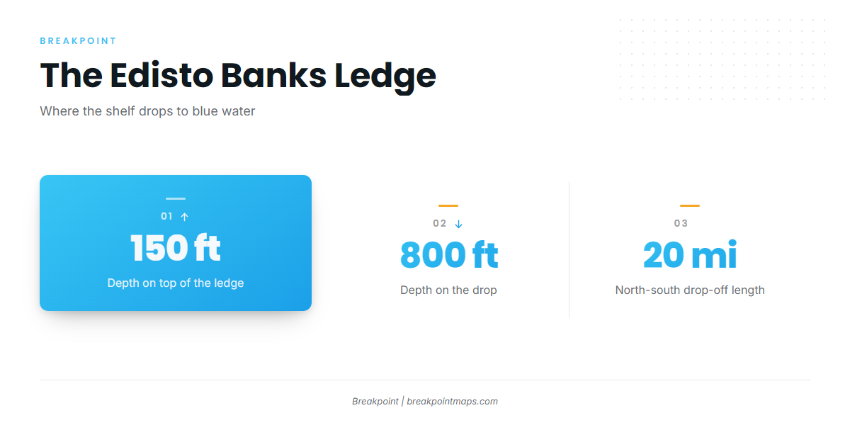
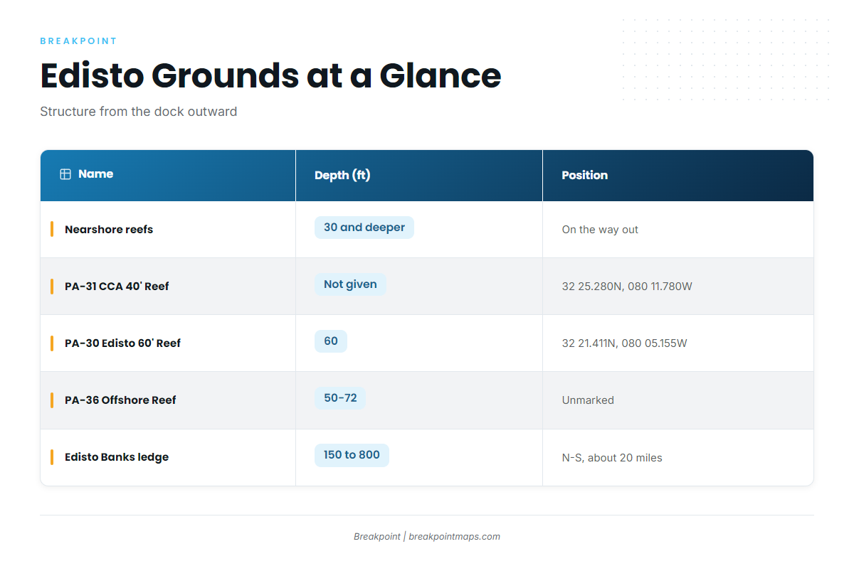
The reefs are structure on the way out and back, and the Edisto Banks ledge is where the shelf drops toward blue water. We make no claim that yellowfin hold on the reefs.
| Name | Designation | Depth (ft) | Marker/Position | Notes |
|---|---|---|---|---|
| Nearshore reefs | about 30 and deeper | Structure on the way out and back | ||
| CCA-Edisto 40′ Reef | PA-31 | Reef buoy, 32 25.280N, 080 11.780W | ||
| Edisto 60′ Reef | PA-30 | 60 | Reef buoy, 32 21.411N, 080 05.155W | |
| Edisto Offshore Reef | PA-36 | 50-72 | unmarked | 23.5 miles from Stono Inlet |
| Edisto Banks (the ledge) | 150 on top to 800 on the drop | Steep drop-off running north-south for about 20 miles |
Swipe the table sideways to see every column.
Artificial reefs
PA-31 and PA-30 are buoyed, so you can load their positions straight from the table. PA-36 is unmarked, and its reference figure is the 23.5-mile distance from Stono Inlet. If you run up from neighboring water, work from that number.
Edisto Banks
The ledge is a steep drop-off between the shelf and blue water. It reads 150 ft on top and 800 ft on the drop, and it runs north-south for about 20 miles.
Load the reef buoys and the ledge as waypoints and check them against Chart Contours in Breakpoint. Chart layers are not for navigation.
How it is fished
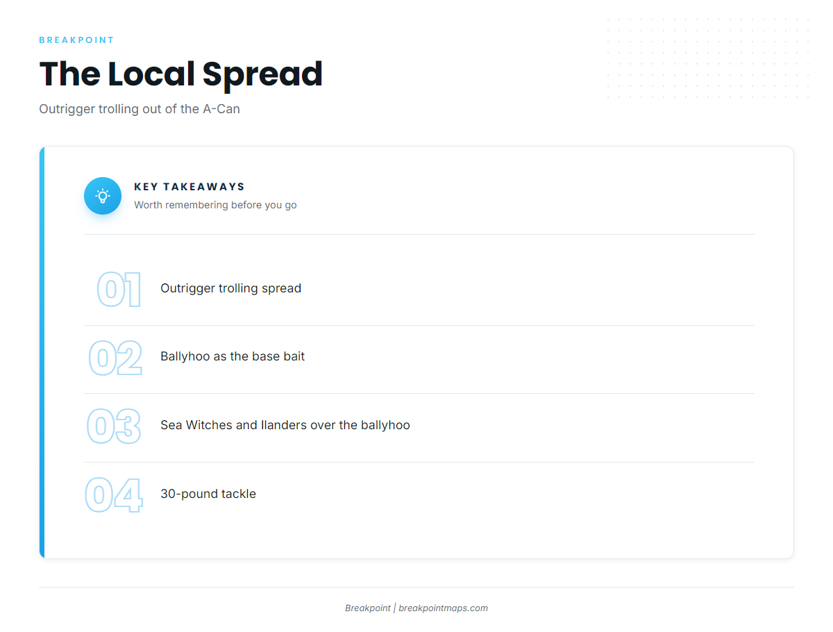
The local method is an outrigger trolling spread run on 30-pound tackle.
The spread
The spread has three parts:
- Outriggers to spread the baits
- Ballyhoo as the natural bait
- Sea Witches and Ilanders run over the ballyhoo
For rigging and spread detail, use the tuna fishing guides.
Tackle
The spread runs on 30-pound tackle.
Who fishes yellowfin out of Edisto
Captained Gulf Stream trolling trips run out of the A-Can. Owner-operators with their own boats work the same route: reefs on the way out, the ledge, then blue water.
FAQ: yellowfin out of Edisto Beach
When do anglers fish yellowfin out of Edisto?
Yellowfin tuna fishing out of Edisto Beach is reported mostly in June. Trips are Gulf Stream trolls from the A-Can. We don’t call June a peak or name other months.
Where do boats leave from?
Boats start from the A-Can off the South Edisto River mouth. Take its position from the official chart. The route passes the reefs and the Edisto Banks ledge before it reaches blue water.
What spread do locals pull?
Locals pull an outrigger spread of ballyhoo under Sea Witches and Ilanders. A captain who fishes it says the spread catches whatever roams blue water, so expect a mixed blue-water day with yellowfin as the target.
What line class do locals use?
Locals run 30-pound tackle with the outrigger spread of ballyhoo, Sea Witches and Ilanders.
Which buoy should I watch?
Watch NDBC Station 41004 EDISTO, 41 NM southeast of Charleston at 32.502N, 79.099W, in 35 m of water. It reports wind, wave height and period offshore, not at the inlet. Pair it with the official marine forecast.
How deep is the Edisto Banks ledge?
The ledge reads 150 ft on top to 800 ft on the drop. It is a steep north-south drop-off about 20 miles long, where the shelf falls toward blue water.