When white marlin are off Little River
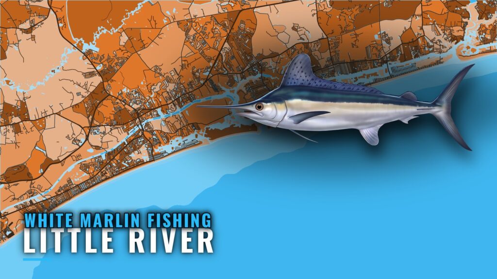
White marlin fishing out of Little River is a summer fishery. Boats leave from Little River Inlet, South Carolina, on the northern edge of the Grand Strand. Inlet and conditions detail is on our Little River port page.
Summer
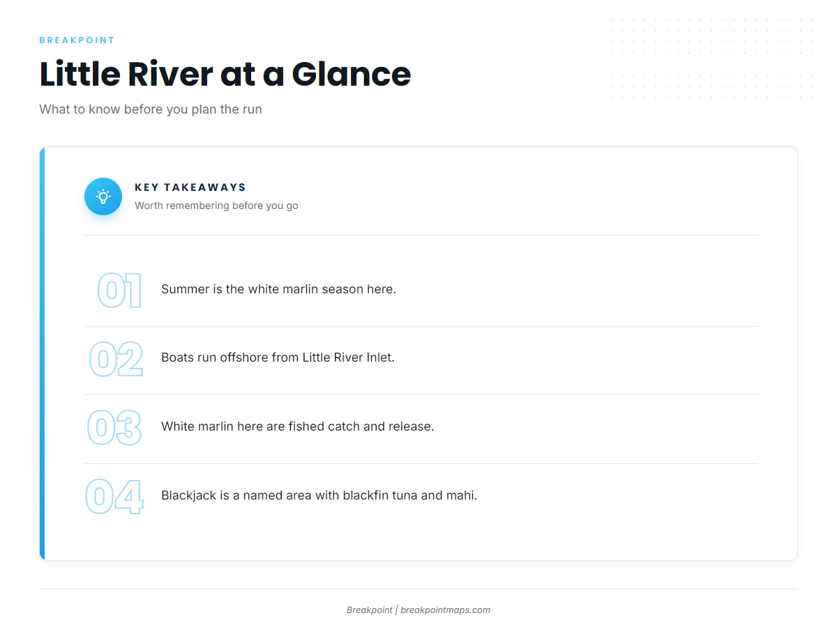
Summer is the white marlin season here. Biology and behavior are covered in our white marlin fishing guide.
What else is out there
Blackjack is a named offshore fishing area that holds blackfin tuna and mahi.
Running offshore from Little River Inlet
Boats run offshore from Little River Inlet. Check the official marine forecast for wind and seas before you clear the jetties. The run has a short list of named waypoints, and the figures below are the ones to plot.
The PA-02 line
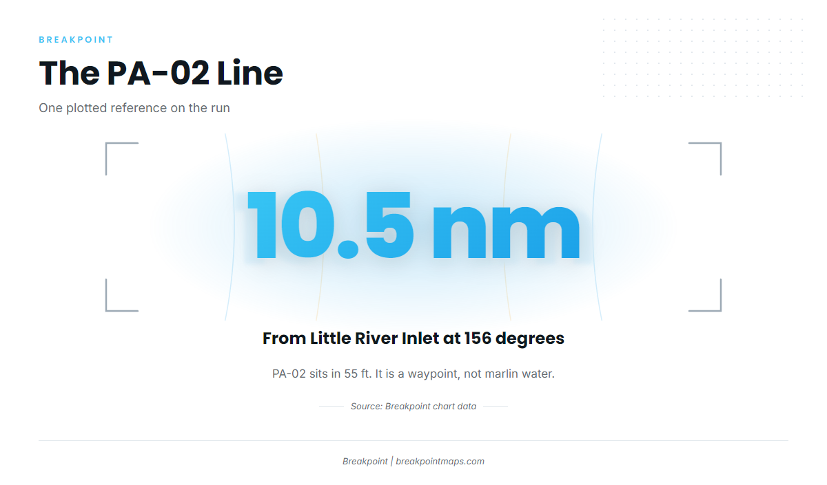
PA-02 lies 10.5 nm from Little River Inlet on a bearing of 156 degrees, in 55 ft. It is the only plotted reference line on the run, and it should be treated as a waypoint rather than as marlin water.
Past the reefs
The listed structure tops out at BP-25 in 92 ft. These reefs are named waypoints on the way offshore. For the regional picture beyond this port, read about white marlin water in the Atlantic Southeast (see also the Atlantic Southeast fishing guide).
Grounds and structure off Little River
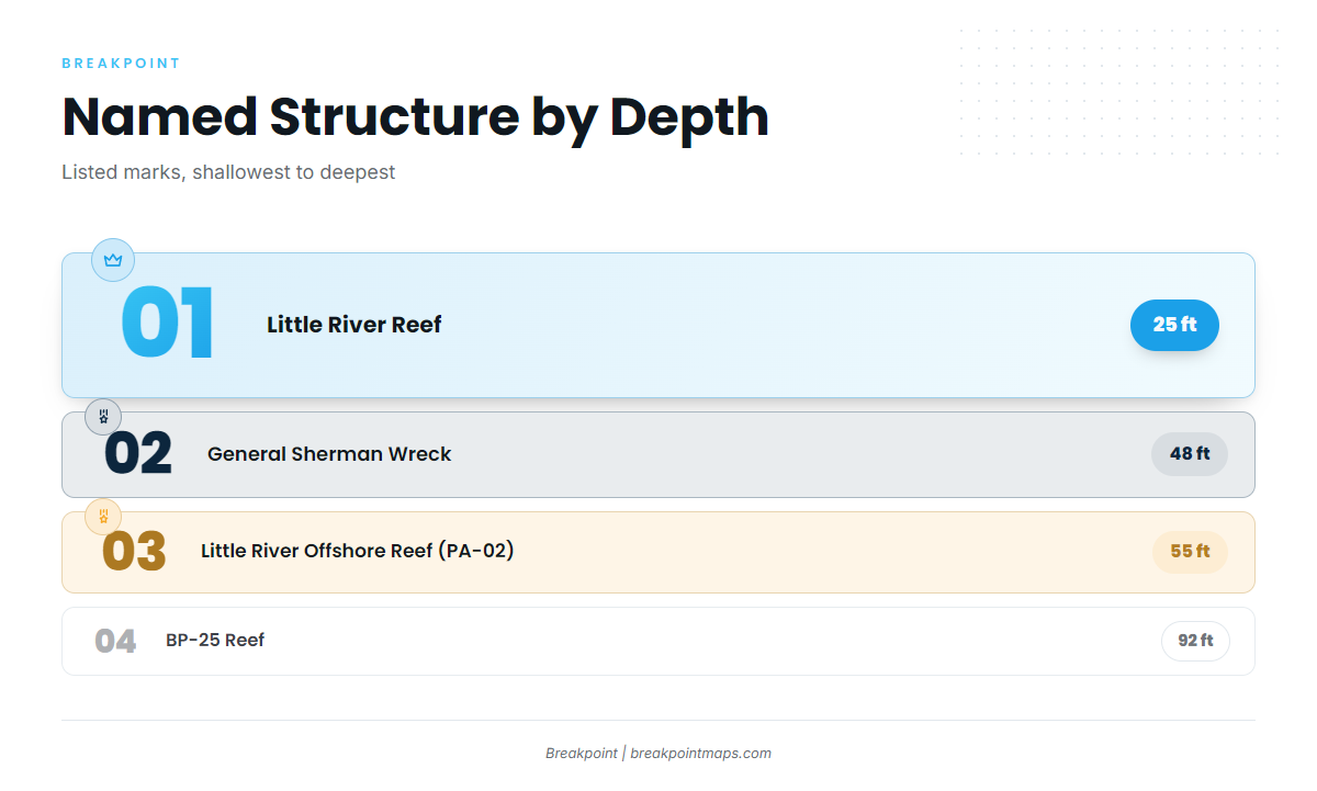
These are the named marks and fishing grounds on the run offshore, in depths from 25 to 92 ft. Ninety Ninety Rock and Three Mile Reef sit nearshore. Depths build from there out to BP-25, with Blackjack named as an offshore area.
| Name | Type | Depth (ft) | From the inlet |
|---|---|---|---|
| Ninety Ninety Rock | not listed | not listed | within a few miles of land |
| Three Mile Reef | reef | not listed | not listed |
| Little River Reef | reef | 25 | not listed |
| General Sherman Wreck | wreck | 48 | not listed |
| Little River Offshore Reef (PA-02) | artificial reef | 55 | 10.5 nm at 156 degrees |
| Ron McManus Memorial Reef (PA-04) | artificial reef | not listed | not listed |
| BP-25 Reef | reef | 92 | not listed |
| Blackjack | offshore fishing area | not listed | not listed |
The named reefs and the wreck sit on the Chart Contours layer in Breakpoint for planning. Chart layers are not for navigation.
Nearshore marks
Ninety Ninety Rock lies within a few miles of land. Three Mile Reef is a named nearshore mark. Little River Reef sits in 25 ft.
The artificial reefs
PA numbering is permitted artificial reef numbering. PA-02, Little River Offshore Reef, is in 55 ft at 10.5 nm and 156 degrees. Ron McManus Memorial Reef is PA-04. The reef program’s official list is on the SCDNR artificial reef locations page.
General Sherman Wreck
General Sherman Wreck lies in 48 ft. By depth it falls between Little River Reef and PA-02.
BP-25 and Blackjack
BP-25 is the deepest listed structure, at 92 ft. Blackjack is a named offshore area that holds blackfin tuna and mahi. The reefs and wrecks give you marks to work from, and where to look is up to you.
How white marlin are fished out of Little River
White marlin here are fished catch and release, and owner-operators and the offshore charter fleet work the same water.
Catch and release
For methods and spreads, see the billfish fishing guides.
Who fishes from this port
Owner-operators run their own boats from Little River, and the offshore charter fleet works the same water.
FAQ
When is white marlin season off Little River?
White marlin fishing out of Little River is a summer fishery.
How far is PA-02 from Little River Inlet?
Little River Offshore Reef (PA-02) is 10.5 nm from Little River Inlet at 156 degrees in 55 ft.
What is the deepest named structure?
BP-25 Reef, in 92 ft.
Is it catch and release?
Yes. Catch and release is the local practice for white marlin.
Where are the rules?
SCDNR covers state waters. Federal rules cover billfish. Check both before fishing.