
About Little River
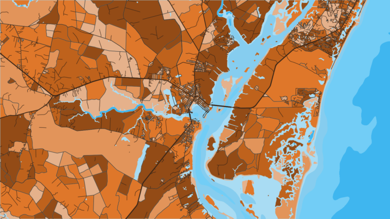
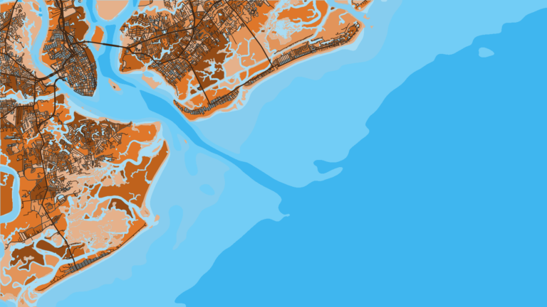
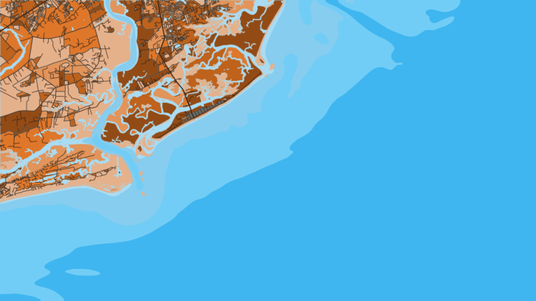
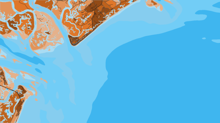
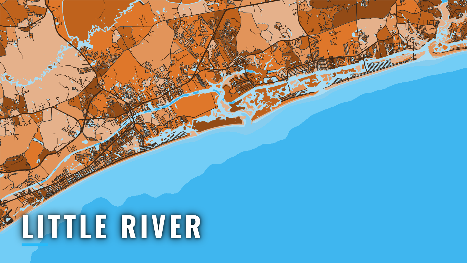
Little River sits on the Atlantic Intracoastal Waterway behind Little River Inlet, a jettied entrance near the North Carolina line that opens onto Long Bay. The reefs and live bottom off the inlet fish for bottom species year-round, and the pelagic run tends to peak from spring through autumn. Anglers here work for king mackerel, Spanish mackerel, cobia, mahi-mahi, sailfish, white marlin, black sea bass, grouper and snapper. This page covers where to look and how to get there and back.
Access and navigation
Public ramps and one fuel marina serve boats running the inlet:
- County Boat Ramp, 53rd Ave – Horry County landing in Cherry Grove Beach on Hog Inlet and Cherry Grove Creek
- County Boat Ramp, US 17 bridge – Horry County landing in Nixon Cross Roads on the Intracoastal Waterway
- North Myrtle Beach Landing – city landing on the Intracoastal Waterway at 2nd Ave South
- Cricket Cove Marina – fuel
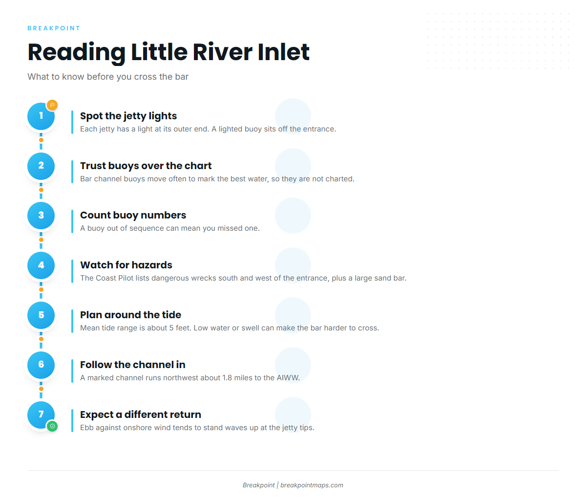
The bar channel at Little River Inlet changes continually. Its buoys are moved often to mark the best water, so they may not be charted. Each jetty has a light at its outer end, and a lighted buoy sits off the entrance. Count buoy numbers and trust the buoys over the chart; a buoy out of sequence can mean you missed one. Several dangerous wrecks lie south and west of the entrance, and a large sand bar is charted near 33°51’25"N, 78°32’50"W. Inside the jetties, a marked channel runs northwest about 1.8 miles to the waterway. NOAA Coast Pilot 4, Chapter 6 covers all of it.
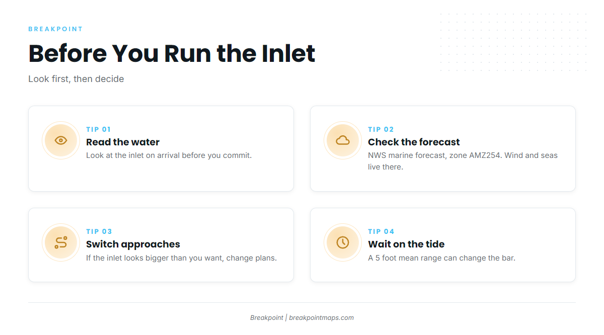
The mean tide range is about 5 feet, so plan a low-water crossing with that in mind. Low water or a swell can make the bar harder to cross. An ebb setting against an onshore wind tends to stand waves up at the jetty tips, so the run back in can look different from the run out. Chart layers are not for navigation.
Hog Inlet at Cherry Grove is the alternative. It tends to be shallower and unjettied, and it is best left to boats with local knowledge. The 53rd Ave ramp sits beside it. Right whales often occur within 30 miles of the coast from November through April, and vessels 65 feet and over are limited to 10 knots in the Seasonal Management Area.
On arrival, look at the water and read the NWS Wilmington AMZ254 forecast for wind, seas and period. If the inlet looks bigger than you want, switch approaches or wait on the tide.
Fishing conditions
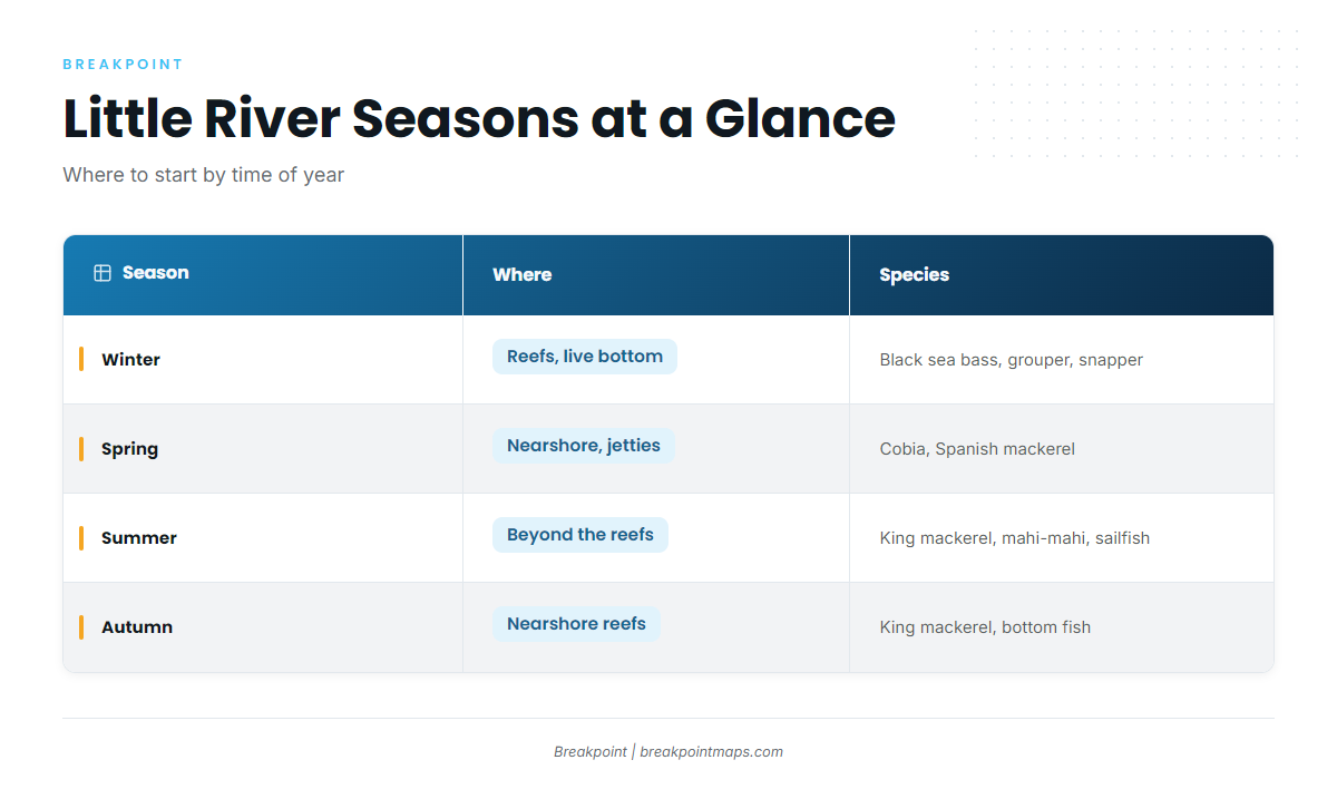
Grounds off Little River run from nearshore reefs to ledges and wrecks farther out. The Atlantic Southeast species guide has the species detail. On rules, SCDNR requires a dehooking tool and a descending device ready for use when you fish for snapper-grouper. Check the SCDNR saltwater fishing regulations, our South Carolina page and the South Atlantic seasonal closures before you fish, and see descending device best practices for how to use one.
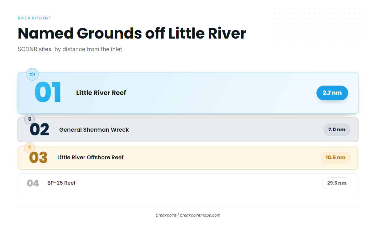
SCDNR lists these sites, with distances from the inlet entrance:
- Little River Reef, 2.7 nm
- General Sherman Wreck, 7.0 nm
- Little River Offshore Reef (PA-02), 10.5 nm
- Ron McManus Memorial Reef (PA-04)
- Jim Caudle Reef
- BP-25 Reef, 29.5 nm
The Gulf Stream lies beyond the reefs and the shelf edge.
Winter
Winter is bottom-fishing season on the reefs and live bottom, with black sea bass, grouper and snapper the main draw. Pelagics tend to be thin and depend on the weather. Red drum and spotted seatrout hold inshore. The November to April right whale period overlaps.
Spring
Cobia and Spanish mackerel tend to arrive nearshore and around the jetties. Mahi-mahi begin to show farther out, beyond the reefs.
Summer
Summer brings king mackerel, mahi-mahi, sailfish and white marlin offshore, while Spanish mackerel hold nearshore. Pelagics tend to set up on temperature and color edges beyond the reefs. OBS SST and Chlorophyll in Breakpoint can help you find those edges, and Chart Contours shows ledges. Cloud can block a satellite pass, so treat an edge as a lead rather than a sure thing. Chart layers are not for navigation.
Autumn
King mackerel run on the nearshore reefs, and bottom fishing stays strong. Red drum and black drum hold near the inlet.
More South Carolina ports: Murrells Inlet, Georgetown.