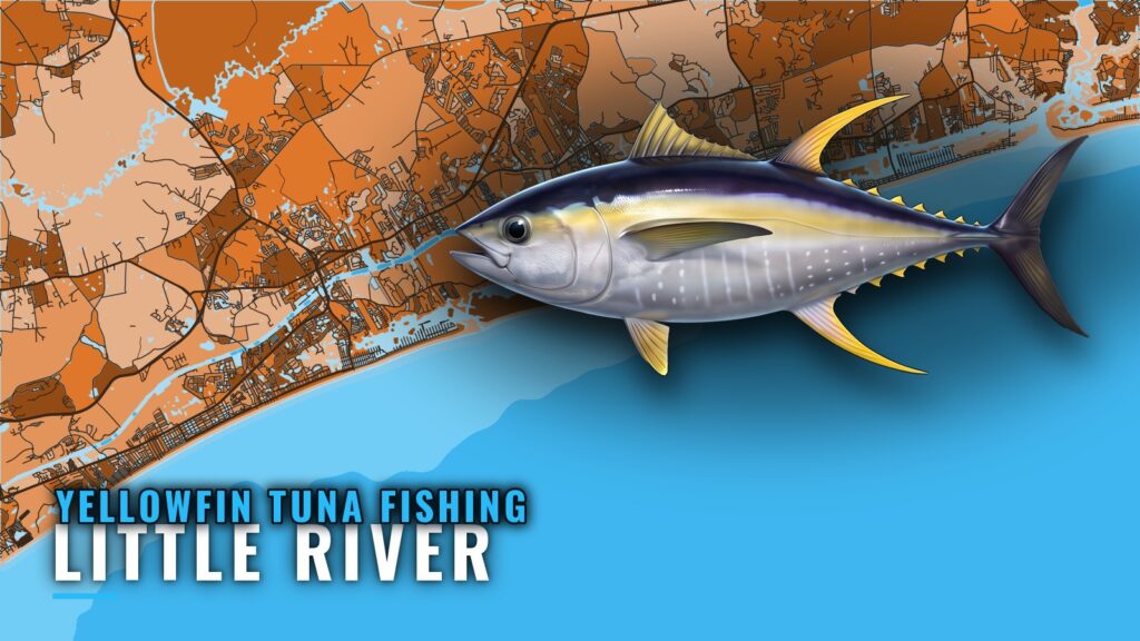
When yellowfin are off Little River
Yellowfin hold off Little River in summer, in the distant offshore water, and wahoo share that same water. Summer is the window for the long run. The nearshore reefs make a separate, shorter day. For the species picture beyond this port, see our yellowfin tuna guide.
How far boats run from Little River Inlet
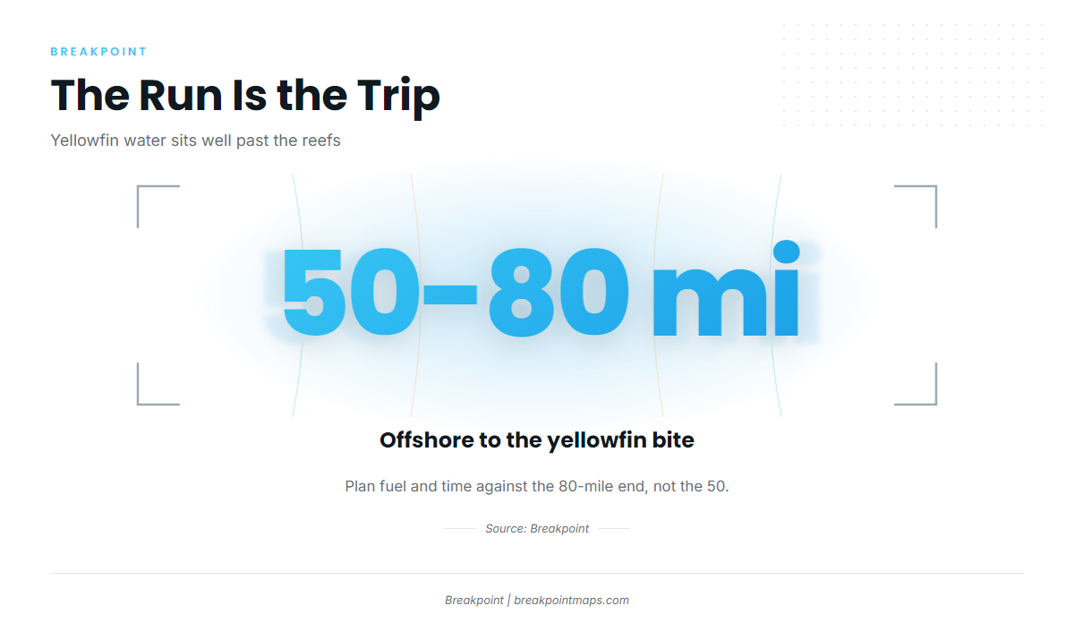
Yellowfin tuna fishing out of Little River means a run of 50 to 80 miles offshore, measured from Little River Inlet, which we cover on the Little River port page. For the broader offshore setup along this coast, see our Atlantic Southeast yellowfin guide (see also the wider Atlantic Southeast guide).
Plenty of named structure sits between the inlet and the fish, but almost none of it is the destination.
The run
Most of the structure on this page sits well inside that range. You pass PA-02 at 10.5 nm and keep going. BP-25 is the deepest named structure at 92 ft, and the yellowfin water is still beyond it.
Planning against the far end
Where yellowfin bite varies inside that range, so plan fuel and time against the 80-mile end rather than the 50. Count the round trip plus search time at the grounds.
Check wind, wave height and period against the official coastal waters forecast before you commit to a run of this length.
Grounds and structure on the way out
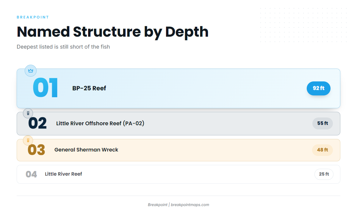
The table runs from the inlet outward.
| Name | Depth | Position note |
|---|---|---|
| Little River Reef | 25 ft | |
| Ninety Ninety Rock | Within a few miles of land | |
| Three Mile Reef | ||
| General Sherman Wreck | 48 ft | |
| Little River Offshore Reef (PA-02) | 55 ft | Bearing 156 degrees, 10.5 nm from Little River Inlet |
| Ron McManus Memorial Reef (PA-04) | ||
| BP-25 Reef | 92 ft | Deepest named structure listed |
| Blackjack | Offshore area, blackfin and mahi |
Nearshore
Little River Reef sits in 25 ft. Ninety Ninety Rock is within a few miles of land. Three Mile Reef and the General Sherman Wreck, in 48 ft, round out the inner ground. You clear this structure early in the run.
Mid-range
PA-02 sits in 55 ft, 10.5 nm from Little River Inlet on a bearing of 156 degrees. It is a waypoint on the run, not the destination.
Ron McManus Memorial Reef (PA-04) is named alongside it. BP-25 at 92 ft is the deepest named structure here.
Offshore
Blackjack is a named offshore fishing area with blackfin tuna and mahi. Of the structures listed, it is the closest in character to the trip. You can check these structures against Chart Contours before the run, though chart layers are not for navigation.
How yellowfin are fished from this port
This is an owner-operator day spent mostly on the run, so plan around the shape of the day rather than a single technique.
Blackjack’s blackfin and mahi, plus the summer wahoo offshore, give the long run more than one target. That is planning logic, not a catch promise. Rigging and technique by species are in our tuna fishing guides.
FAQ about yellowfin tuna fishing out of Little River
How far offshore are yellowfin from Little River?
50 to 80 miles. Plan fuel against the 80-mile end.
When is the yellowfin season off Little River?
Summer, 50 to 80 miles out. Wahoo share that water.
Is PA-02 tuna water?
PA-02 is 55 ft deep and 10.5 nm out on a bearing of 156 degrees. It is a waypoint. The yellowfin water is 50 to 80 miles out.
What else bites at Blackjack?
Two species are named there: blackfin tuna and mahi.
What is the deepest named reef near Little River Inlet?
BP-25 Reef, at 92 ft. The yellowfin water is still well beyond it.
Where are the rules for yellowfin off Little River?
State waters end at 3 miles, and SCDNR sets the rules inside that line. NOAA Fisheries manages tuna beyond it. Check both before fishing.