
About Crescent City
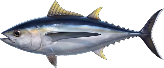
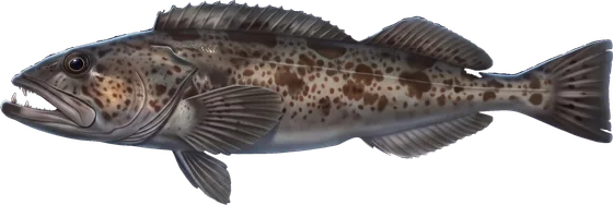
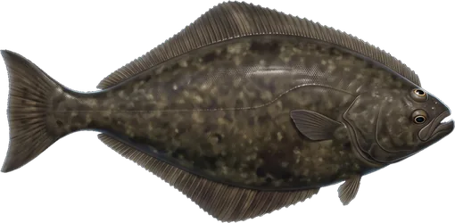
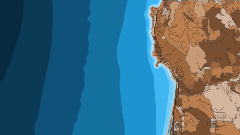
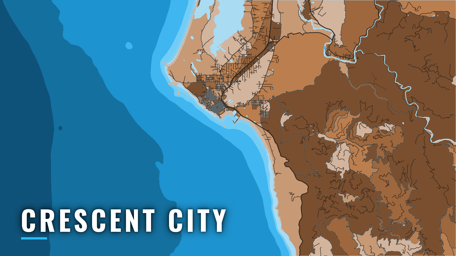
Crescent City fishes rockfish, lingcod, Pacific halibut, Chinook salmon and albacore out of a breakwater-protected harbor. It is the northernmost of the California ports, near the Oregon line, where California fishing meets Pacific Northwest fishing.
Crescent City Harbor is a small-craft harbor on the open Pacific, with a boat basin and the Y-shaped Citizens Dock on its north side. Commercial and sport boats work from it, and the species list runs mostly from spring through autumn. Groundfish depth limits, salmon seasons and halibut rules change, so check the CDFW Northern Region regulations before you fish.
Access and navigation
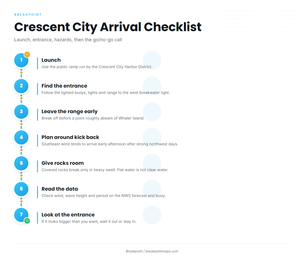
Crescent City Harbor has one public ramp and two moorage areas, all run by the Crescent City Harbor District.
- Crescent City Harbor ramp – public launch run by the Crescent City Harbor District
- Crescent City Harbor District boat basin – moorage, fuel listed
- Citizens Dock – moorage, fuel listed
The entrance is marked by lighted buoys, lights and a lighted range, with the entrance light on the west breakwater. A boat that keeps following the range past a point roughly abeam of Whaler Island can end up close to the end of the breakwater running north from the island, so leave the range before that point. The U.S. Coast Pilot 7 covers the approach in detail.
The west breakwater blocks northwest wind in the outer harbor, but the harbor is open to the south. After a strong northwest day outside, a local southeast wind called the kick back, or back draft, tends to arrive. It usually starts in the early afternoon and runs until about midnight, so a late return can meet it at the entrance. Plan the run home around it.
Several rocks sit in the approaches, listed in the order a returning boat tends to meet them:
- Chase Ledge, covered 21 feet, lies 0.9 mile south of Round Rock.
- Mussel Rock lies 0.6 mile southeast of Round Rock.
- A rock covered 8 feet breaks only in a heavy swell.
- Covered rocks extend north to Whaler Island.
- Foul ground with bare and covered rocks reaches nearly 1 mile offshore along the 3.5 miles northwest to Point St. George.
When a swell is running, give the approach room. Flat water can still sit over those rocks.
For wind, wave height and period, read the NWS Eureka marine forecast for Point Saint George to Point Arena and the West Coast Buoy Monitor. A buoy reads a single point, and neither the forecast nor the buoy shows conditions at the entrance itself. On arrival, look at the water there and check the NWS Eureka forecast again. If it looks bigger than you want, wait it out or stay in.
Fishing conditions
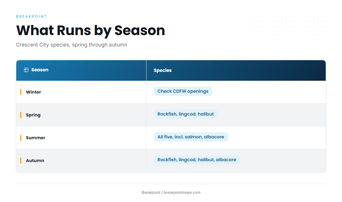
Three named grounds carry most of the local effort, all reef and rock fishing for rockfish and lingcod:
- South Reef – reef ground south of the harbor.
- Sisters Rocks – rock ground that holds rockfish.
- The Lighthouse – reef fishing along the lighthouse side.
Lingcod work these reefs through the year. The lingcod fishing guide covers how to fish them.
Winter
Groundfish openings and depth limits are set by CDFW, so check the CDFW rules linked above before you plan a trip. The harbor is open to the south, which is the exposure to keep in mind when a winter system swings the wind around.
Spring
Rockfish, lingcod and Pacific halibut are the targets. Halibut closures and in-season changes are tracked on the CDFW Pacific halibut page, which is worth checking before you target halibut.
Summer
Summer adds Chinook salmon and albacore to rockfish, lingcod and Pacific halibut. Check CDFW for salmon seasons before you fish.
Crescent City summers are windy. Northwest through north winds are the most common and are reinforced by the sea breeze, reaching 20 to 30 knots 10 to 20 percent of the time. Advection fog is frequent from July through September, and afternoon kick back can follow strong northwest days. For albacore, the albacore tuna fishing guide covers the fish and the water. In the Breakpoint app, the OBS SST and Chart Contours layers can show temperature breaks offshore before you commit fuel. Chart layers are not for navigation.
Autumn
Rockfish, lingcod, Pacific halibut and albacore carry autumn. Albacore can continue offshore, and the approach is similar to albacore off the Pacific Northwest. Check NWS Eureka before a long run.