
About Oceanside
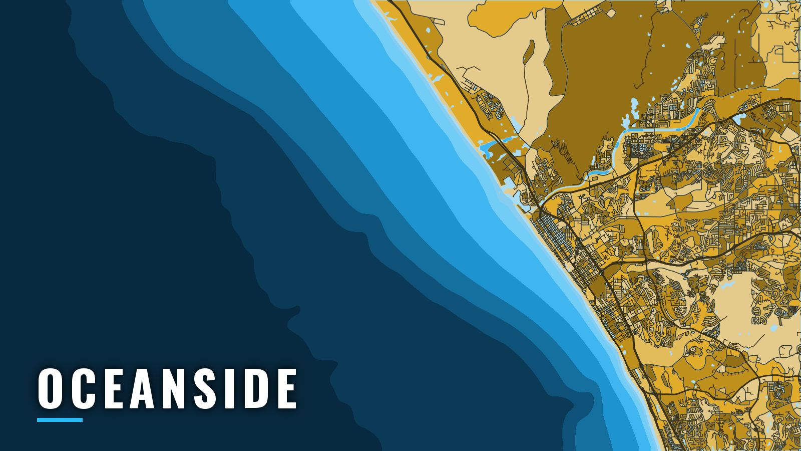
Oceanside Harbor is a small-craft harbor run by the City of Oceanside on the north San Diego County coast, one of the California ports that opens onto the Gulf of Santa Catalina. The Pacific is reached through a dredged channel between two jetties, shared with Camp Pendleton’s Del Mar Boat Basin. A public launch ramp and a fuel dock mean an offshore trip can start with a short run from the trailer.
Warm months tend to bring pelagic fish within range, and winter leans toward bottom fishing. Anglers target yellowtail and bluefin tuna when the water allows, along with calico bass, white seabass, rockfish and halibut.
Access and navigation
Both the ramp and the marina list the same City of Oceanside page as their official source:
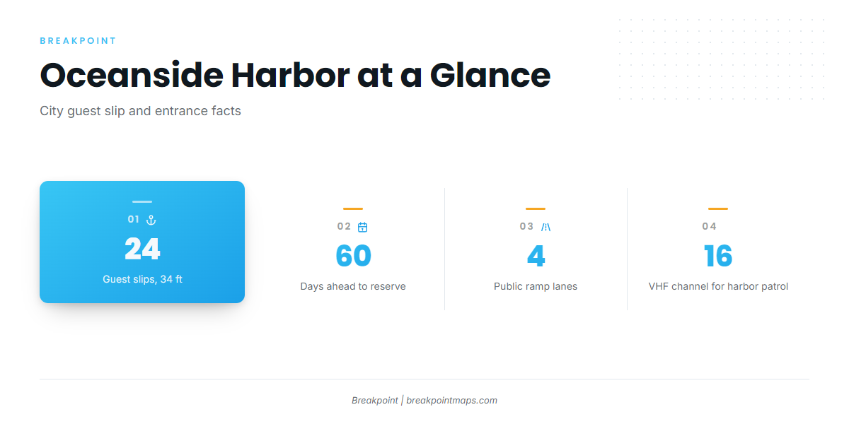
- Oceanside Harbor launch ramp – four-lane public ramp.
- Oceanside Small Craft Harbor – fuel dock, bait receiver, guest slips.
The City lists 24 guest slips of 34 feet, plus side ties for cruisers. Reservations open up to 60 days ahead. If you arrive without one, check in at guest slips 5, 6 or 7 before going to the office.
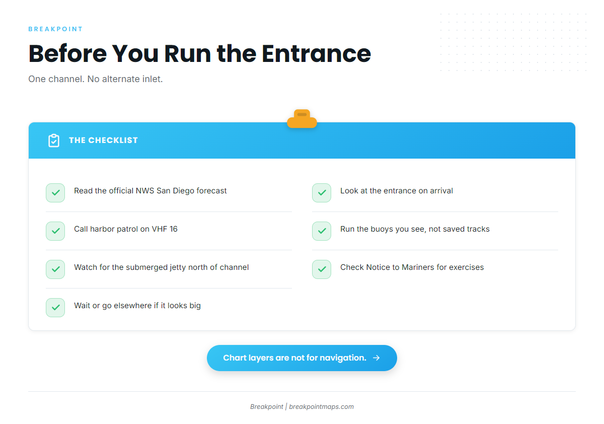
The harbor has a single entrance channel between the jetties, shared with Del Mar Boat Basin. The north basin is for military vessels only. The NOAA Coast Pilot 7 entrance notes describe the channel as subject to severe wave action and shoaling.
The Army Corps annual channel dredging keeps the entrance open, but buoys are frequently shifted as conditions change. A waypoint saved on an earlier trip may not match the channel on the day, so follow the buoys you see rather than the track you saved. Call the harbor patrol on VHF 16 before you enter.
Swells are most frequent from January through April, and west swells from distant storms tend to roughen the Gulf of Santa Catalina from November through April. Swells of 6 feet or more show up about 2 to 5 percent of the time, and in winter they occasionally exceed 9 feet. A south swell can also wrap into the entrance.
Know these hazards before you go:
- Submerged jetty. One lies just north of the entrance channel, and a danger buoy marks its outer end.
- Fog. It can drop visibility below 0.5 mile on 2 to 8 days a month from August through March. November tends to be the foggiest month, and midnight to 0500 the worst hours. The light on the south extension of the east jetty has a sound signal, which you key by pressing the mic 5 times on VHF 81A.
- Military area. An exercise area extends about 3 miles seaward along the Camp Pendleton coast, from about 2 miles northwest of Del Mar Boat Basin to San Clemente. A restricted area lies off the boat basin’s outer breakwater. Check the Coast Guard Local Notice to Mariners for exercise dates and times.
There is one entrance and no alternate inlet. The nearest jetty-entered small-craft harbors are Dana Point Harbor to the northwest and Mission Bay to the south.
On arrival, look at the entrance and read the official forecast from NWS San Diego. If the water looks bigger than you want, wait or go elsewhere.
Fishing conditions
Oceanside sits at the northern edge of the warm-water picture described in the Pacific Southwest guide. Barn Kelp and Box Canyon are names anglers use for water within range of the harbor, and the kelp beds along this stretch of coast hold calico bass.
CDFW sets the ocean rules, including rockfish seasons and depths that change through the year. Check the CDFW ocean sport fishing regulations and the CDFW marine protected area maps before you fish.
Before a summer run, the OBS SST and Chlorophyll layers in Breakpoint can show temperature edges and clean-to-green breaks. Chart layers are not for navigation.
Winter
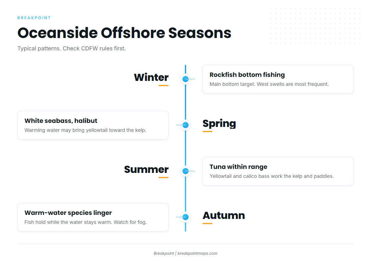
Rockfish is the main bottom target. Seasons and depth limits change, so use the CDFW rules above. West swells are most frequent from January through April, so read the forecast before you tow.
Spring
White seabass is a spring target, and CDFW applies a spring-specific limit south of Point Conception, so check the rules before you go. Warming water may bring yellowtail on the kelp and paddies closer to the coast. Halibut can be a sand-bottom option.
Summer
When warm water pushes in, tuna can move within range, and bluefin offshore are the draw for many boats. Yellowtail work kelp and paddies, and calico bass work the kelp beds. Early mornings tend to offer a glassy window before afternoon westerlies build.
Autumn
Warm-water species can linger while the water holds its temperature. Fog season runs from August through March, so early departures may meet low visibility. Keep the VHF 81A fog signal in mind on the way in.