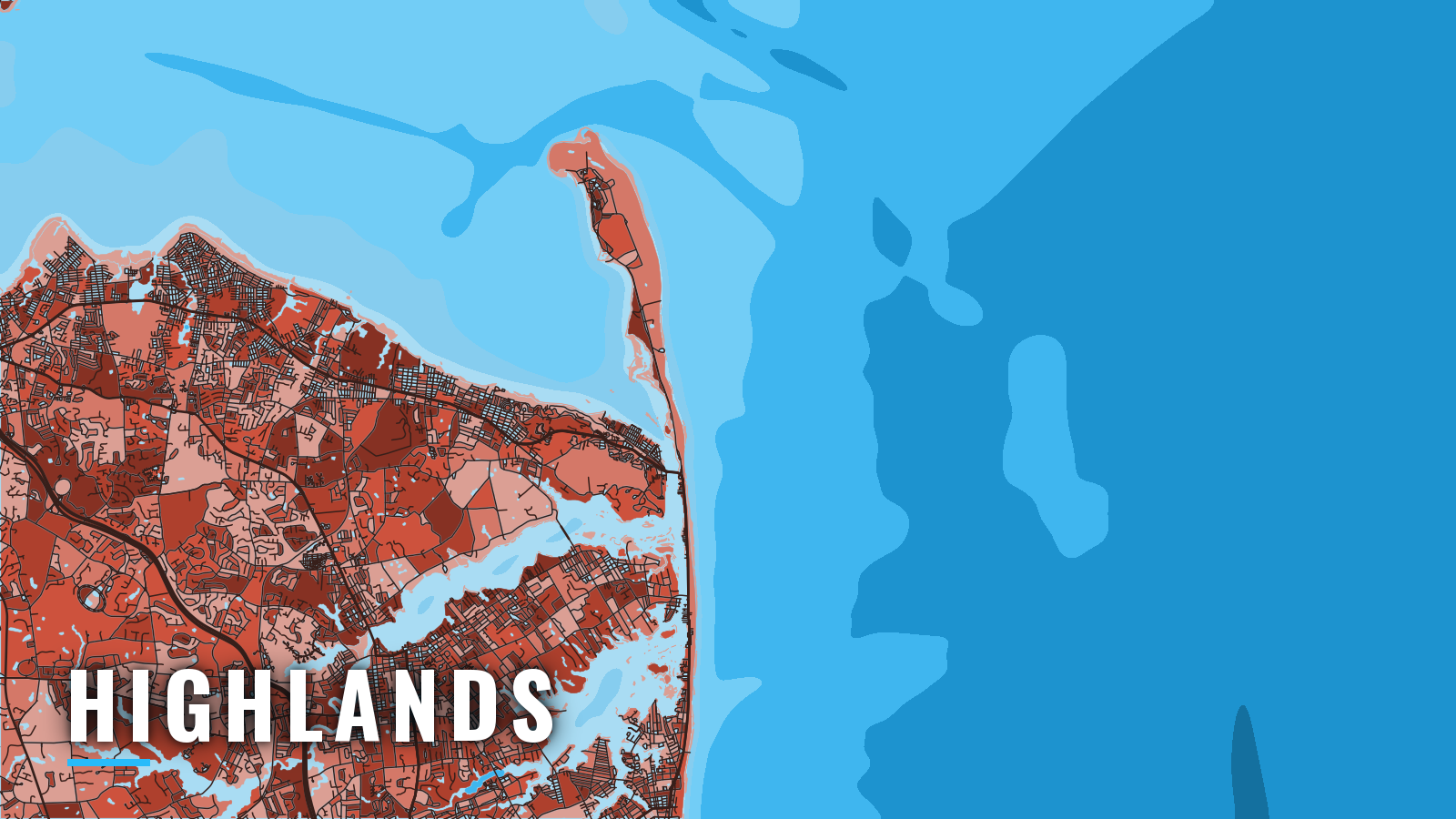

About Highlands
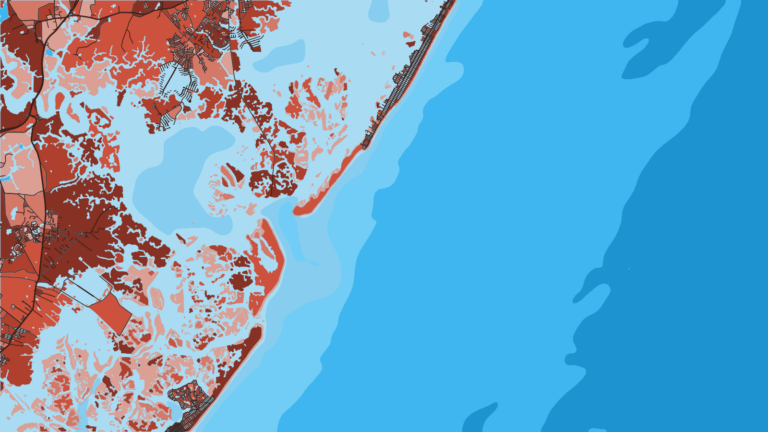
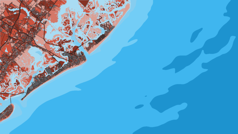
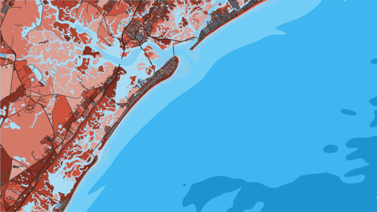
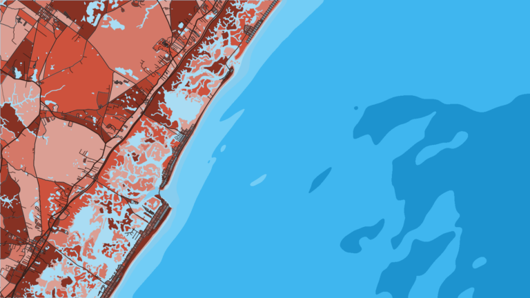
Highlands, NJ sits at the mouth of the Shrewsbury River on Sandy Hook Bay, inside the Hook. Boat owners reach New Jersey offshore fishing from here through Sandy Hook Channel. The season runs spring through autumn, and striped bass peak in spring and fall. Inshore, the targets are striped bass, fluke, bluefish and winter flounder; offshore, it is tuna. Anglers 16 and older must register with the New Jersey Saltwater Recreational Registry before fishing. Registration is free.
Access and navigation
Public launches and fuel are on the south side of Sandy Hook Bay.
- Atlantic Highlands Municipal Harbor – borough ramp, slips and fuel behind the breakwater on Sandy Hook Bay.
- Leonardo State Marina – state launch ramp on Sandy Hook Bay.
The run out
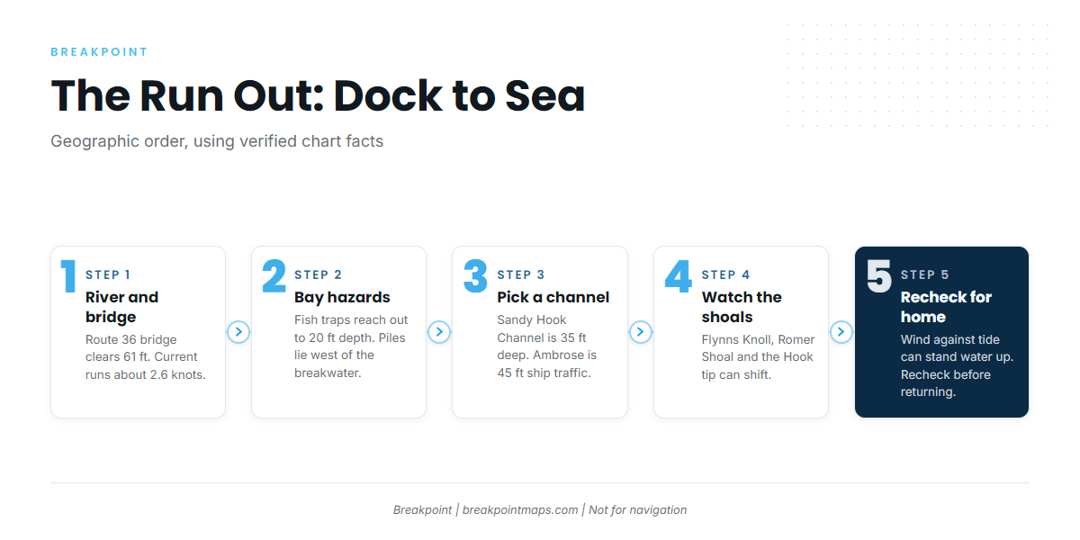
The Route 36 Highlands Bridge is a fixed span with 61 ft of clearance, so tower boats should check their height against that figure. Current at the bridge can run about 2.6 knots. A submerged stone jetty sits about 0.6 mile south of the bridge, at the junction of the Shrewsbury and Navesink Rivers. Three seasonal buoys mark it; outside the buoy season, only the chart shows it.
In the bay, heavy fish traps extend to 20 ft of depth on the shoals between Atlantic Highlands and Point Comfort. Piles and the ruins of old wharves lie west of the Atlantic Highlands breakwater basin. A restricted area surrounds the Naval Ammunition Depot piers and Terminal Channel near Leonardo.
Sandy Hook Channel has a project depth of 35 ft and is the main route from Sandy Hook Bay to sea. Ambrose Channel, at 45 ft, is the deep ship channel and carries ship traffic, so stay clear of it. The U.S. Coast Pilot 2, Chapter 11 covers both in detail.
Swash Channel is the natural buoyed passage between the two. Rocks and obstructions lie at its entrance and within it. On a strong ebb, currents tend to set toward Romer Shoal, and on the flood, especially with a westerly wind, a boat can be set onto it. Keep an eye on your track.
Flynns Knoll lies between the Swash, Sandy Hook and Chapel Hill Channels. Romer Shoal is marked by its light. The tip of Sandy Hook shoals and changes, so the chart may lag the bottom.
Water at the Hook can stand up when wind opposes the current. A fair morning run does not guarantee a fair return, so recheck the approach before heading home.
Before you commit
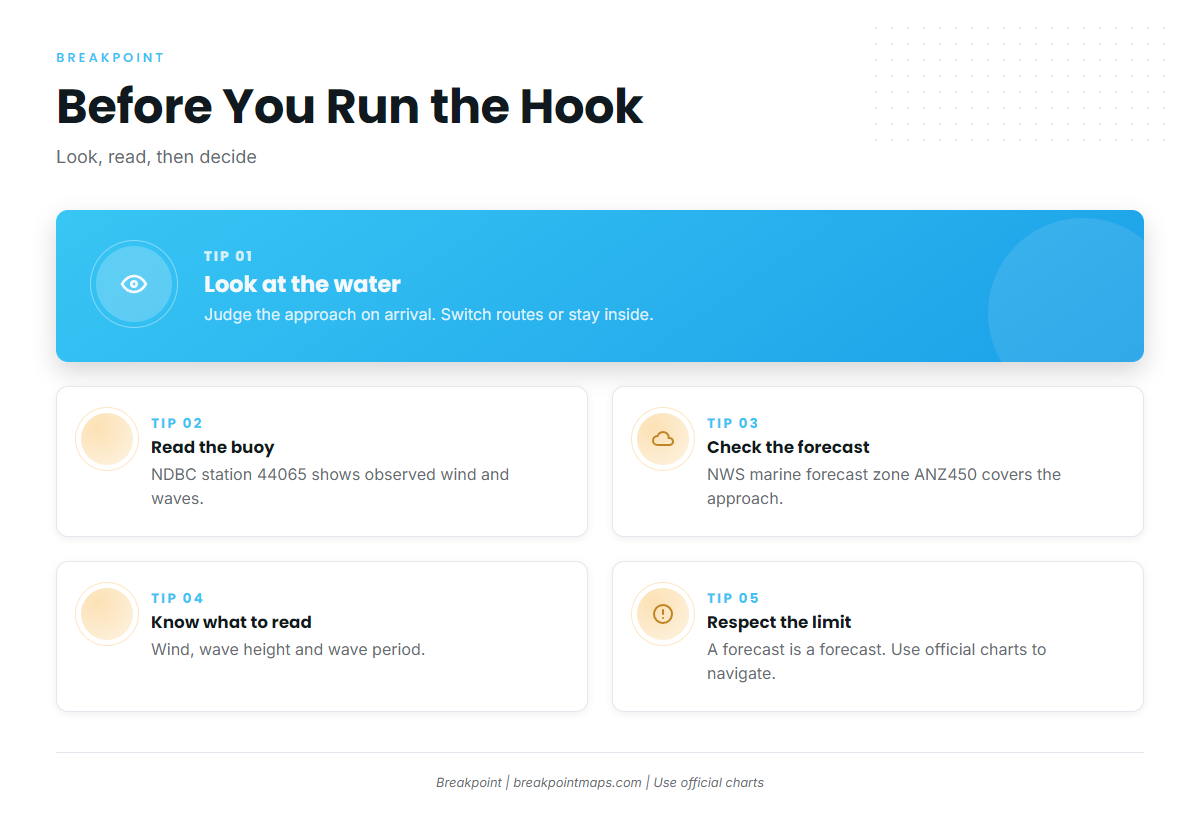
Look at the water when you arrive, then read the official forecast. Pull wind, wave height and period from NDBC station 44065 buoy data and the NWS marine forecast ANZ450. If the approach looks bigger than you want, switch approaches or stay inside. Breakpoint chart layers are not for navigation; use official charts.
Fishing conditions
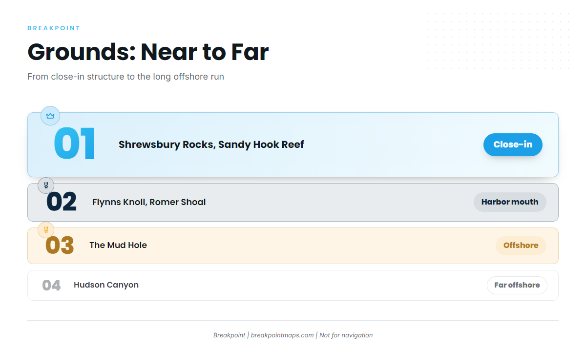
The grounds below run from near to far. For species detail for the region, start with the Atlantic Northeast guide. NJDEP Marine Fisheries sets state rules, and sizes, bags and seasons change, so check the New Jersey saltwater fishing regulations before you fish.
- Shrewsbury Rocks and Sandy Hook Reef: close-in structure.
- Flynns Knoll and Romer Shoal: named shoals at the harbor entrance.
- The Mud Hole: offshore, in the Hudson Shelf Valley.
- Hudson Canyon: the long offshore run.
The NJ Artificial Reef Program publishes a deployments map of public reef sites.
Winter
Tautog hold on reefs and rocks. The state sets the open season, so check NJDEP before you go.
Spring
Striped bass move past the Hook on the spring run, and winter flounder work the bay.
Summer
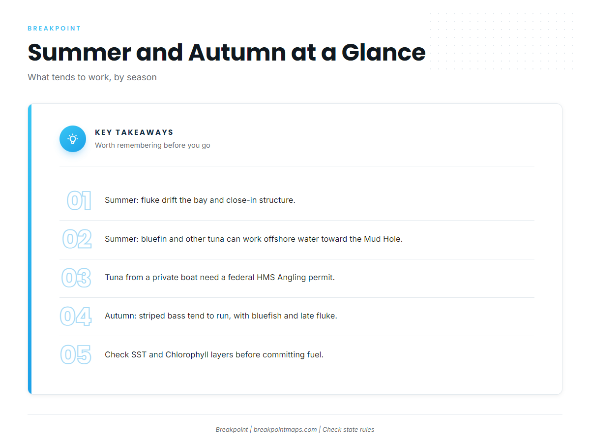
Fluke drift the bay and the close-in structure, and striped bass and bluefish fill out the inshore mix. Offshore, bluefin tuna and other tuna can work the water toward the Mud Hole. Private boats need a federal HMS Angling permit to fish for tunas. Check the OBS SST and Chlorophyll layers for temperature edges before committing fuel to the Mud Hole or Hudson Canyon. These layers are not for navigation.
Autumn
Striped bass run in the fall, bluefish stay active, and the last of the fluke can still bite. Bluefin in the Northeast tend to return to mid-shelf and Mud Hole water.
Ports farther down the ocean coast: Belmar, Point Pleasant Beach.