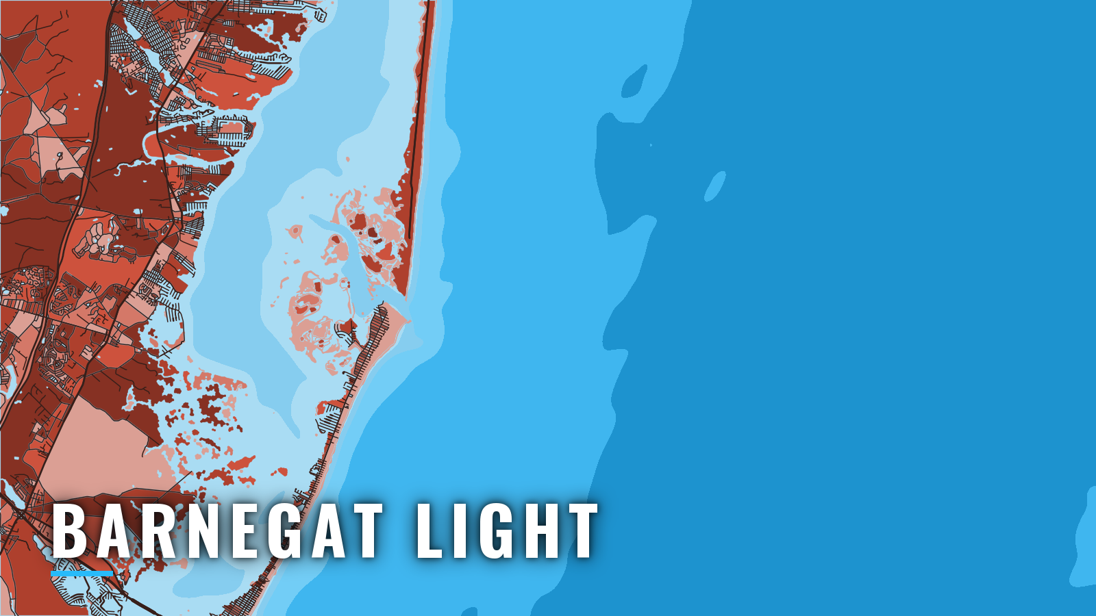

About Barnegat Light
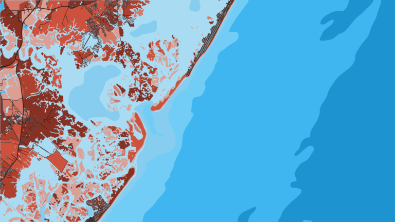
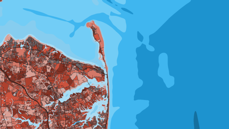
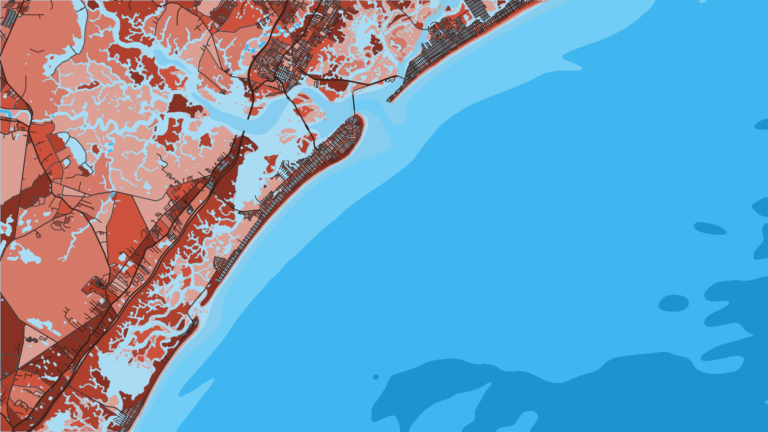
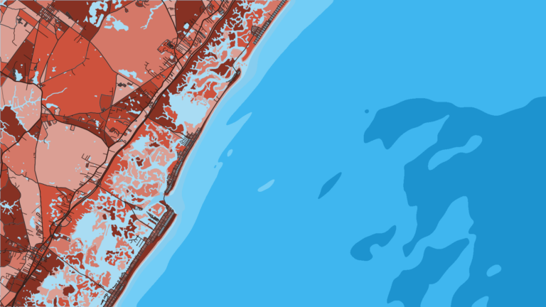
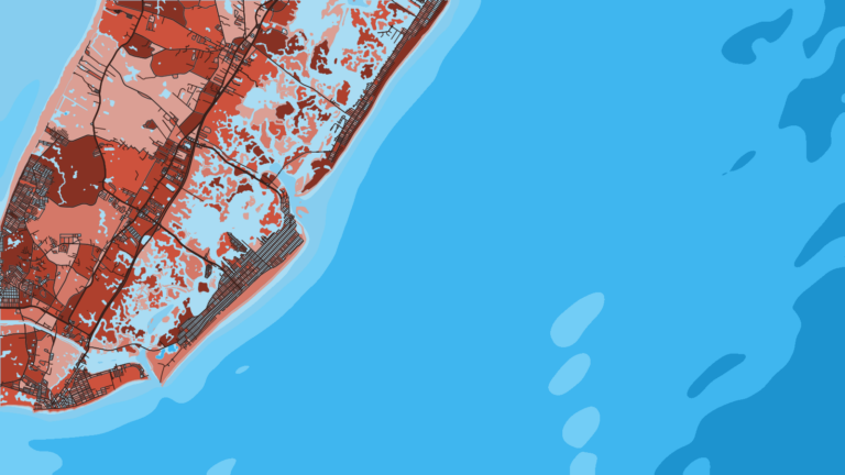
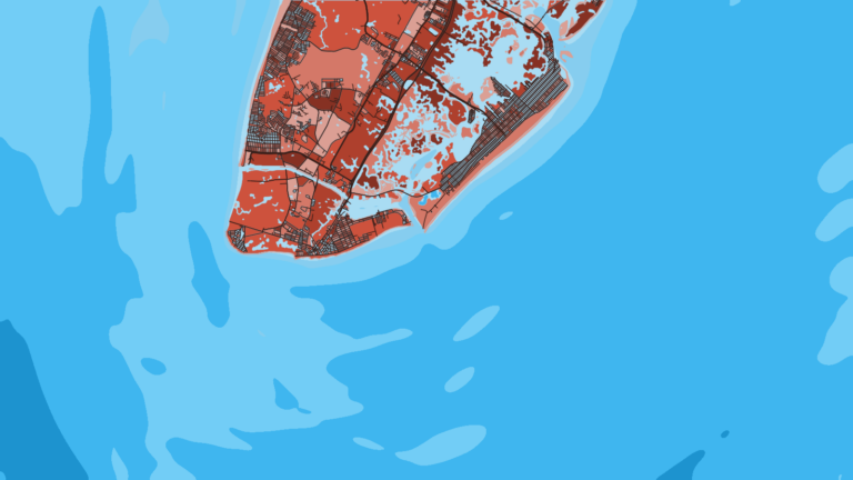
Barnegat Light sits on the south side of Barnegat Inlet at the north end of Long Beach Island, with Barnegat Lighthouse as the landmark. It is one of the busier New Jersey offshore ports. A commercial fleet works from Viking Village and Lighthouse Marina, and recreational boats from the bay share the same inlet.
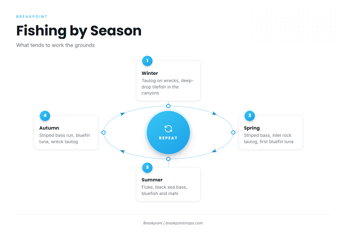
Barnegat Inlet links the Atlantic with Barnegat Bay and the New Jersey Intracoastal Waterway via Oyster Creek Channel. The season runs spring through autumn; winter fishing is limited to days when the weather allows a run. Anglers here target striped bass, tautog, bluefin tuna, fluke, black sea bass, bluefish and mahi.
Access and navigation
Two facilities serve boaters running their own boats out of Barnegat Light:
- Barnegat Light municipal boat rampthe borough ramp at 10th Street and Bayview Avenue on the bay side, with fees and permits listed on the borough page
- Lighthouse Marina, Barnegat Lighta bayside marina with fuel listed
Inlet behavior
Breakers can form across Barnegat Inlet when the ebb runs against an easterly wind. Outgoing current meeting wind and swell from the east tends to steepen the sea in the throat of the inlet.
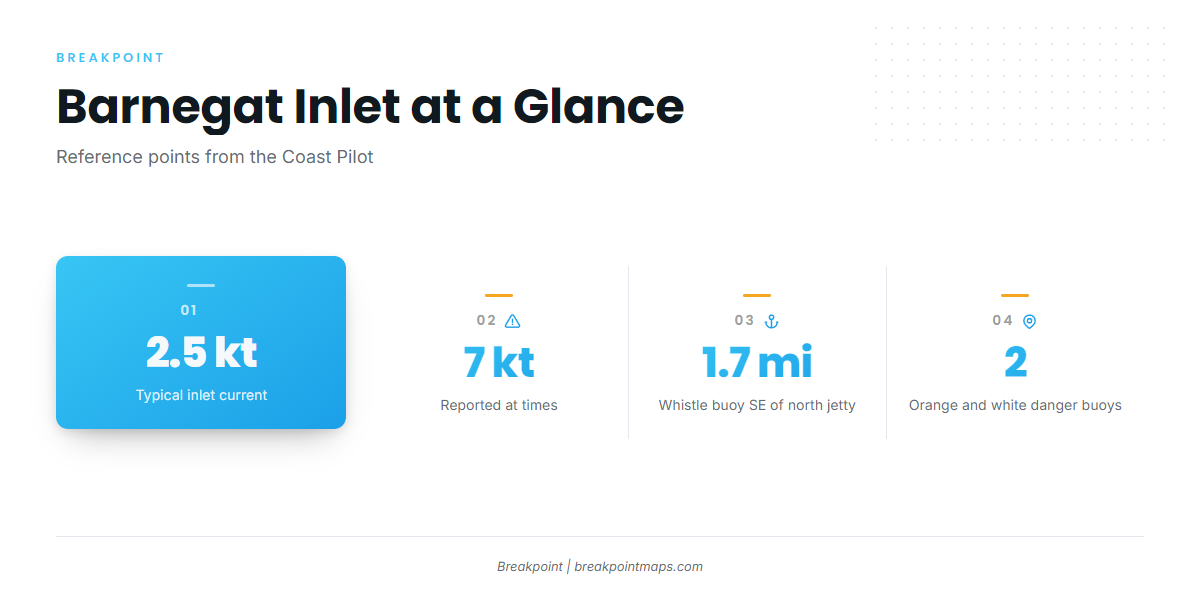
The U.S. Coast Pilot 3 gives the current in the inlet as about 2.5 knots, with 7 knots reported at times. It favors a rising tide with a smooth sea as the better time to enter, and says strangers should transit the inlet only in ideal conditions.
Barnegat Inlet Channel and Oyster Creek Channel shoal continually. Their buoys are moved to follow the best water, so they are not charted, and chart lines in this inlet cannot be trusted over the buoys on the water. The bayside channel to the Barnegat Light docks is marked by private seasonal buoys, also uncharted.
A lighted whistle buoy about 1.7 miles SE of the north jetty marks the approach. Two orange and white danger buoys NE of the north jetty mark the submerged jetty between Light 6 and the exposed jetty, and cutting that corner can put you on rock. The Coast Pilot advises a boat needing assistance to lie outside the inlet and contact the local Coast Guard station.
Where to read conditions
The official forecast is the NWS forecast zone ANZ451, Manasquan Inlet to Little Egg Inlet out 20 NM. For offshore wave height and period, check the NDBC Station 44091 buoy, the Barnegat waverider. The buoy reports the offshore sea state but says nothing about the ebb in the throat of the inlet.
Alternative approaches
Manasquan Inlet, 21 miles north per the Coast Pilot, is reached inside via Barnegat Bay and the Point Pleasant Canal. That inside run can be an option when Barnegat Inlet is standing up. Beach Haven Inlet lies 17 miles south-southwest per the Coast Pilot. Check the water and the official forecast when you arrive, and if the inlet looks bigger than you want, use another way out.
Fishing conditions
The closest ground is Barnegat Light Reef, 3.1 nautical miles from the entrance. Barnegat Ridge sits farther out, the offshore wrecks and New Jersey artificial reefs fill in between, and Hudson Canyon is the long run. The NJDEP artificial reef deployments map shows public reef locations. Species detail and tactics are in the Atlantic Northeast fishing guide.
Rules come from NJDEP Fish and Wildlife, so check the NJDEP marine fisheries page before you fish. Anyone 16 or older registers with the Saltwater Registry before saltwater fishing; it is free and renewed every year. A federal HMS Angling permit covers tunas, billfish, swordfish and sharks, with a shark endorsement needed for sharks. Private boats need a Private Recreational Tilefish Vessel Permit to fish for golden or blueline tilefish.
Winter
Tautog hold on offshore wrecks on days when the weather allows a run. Deep-drop tilefish fishing in the canyons is also possible, with the tilefish permit and a trip report required.
Spring
Striped bass move along the coast past boats out of Barnegat Light. Tautog hold on the inlet rocks and nearby structure, and the first bluefin tuna show up offshore.
Summer
Fluke and black sea bass work Barnegat Light Reef and the wrecks, and bluefish move through. Mahi can show up on warm-water edges offshore and around Barnegat Ridge. The OBS SST and Chlorophyll layers show where the edges sit before you commit to a run. Chart layers are not for navigation.
Autumn
Striped bass run in the fall, alongside bluefin tuna, tautog on the wrecks and inlet structure, and bluefish. Autumn easterlies on an ebb tend to stand the inlet up, so read the water before you commit to the way out.