Spring
Offshore
king mackerel, cobia
Nearshore
cobia, tarpon arriving




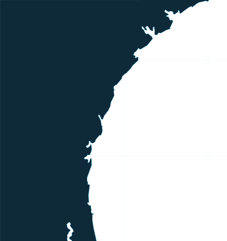
Georgia’s coast is a chain of barrier islands from Tybee south to St. Marys, sitting over a wide, flat shelf where structure decides where the fish are. This page covers how offshore fishing works along the coast, the ports by stretch, what runs through the year, and which agencies write the rules. It also points to charters and tournaments in each port. For other U.S. coasts, start from the state list.
 By Breakpoint Team
The coast
The shelf off Georgia is wide and shallow, with mostly sand bottom. Fish gather on the scattered hard spots: live bottom, artificial reefs and the shelf edge. A long run over empty sand usually ends at a small piece of structure, so the structure is the destination.
Georgia state waters run from shore to 3 nautical miles, and federal waters begin beyond that. Most of the rules below depend on which side of that line you are on.
Close to shore, the sounds and inlets between the barrier islands make up the nearshore fishery. Wassaw Sound, St. Simons Sound and St. Marys Entrance are the main openings to the ocean.
Georgia maintains 15 inshore and 31 offshore artificial reefs, from inside the estuary out to 80 miles offshore. Georgia DNR reef coordinates are available from the agency and worth pulling before you plan a run. The 19 reefs beyond 3 miles are federal special management zones, where gear is limited to handline, rod and reel, and spearfishing gear. Details are in the Regulations section.
Between the reefs, scattered natural live bottom holds black sea bass and other snapper-grouper. It is hard to see on a chart and easy to run past.
Gray’s Reef National Marine Sanctuary sits about 19 miles off Sapelo Island and covers 22 square miles. It is live bottom with its own rules: rod and reel and handline only, and no anchoring. Separately, a deepwater federal area called the Georgia MPA is closed to snapper-grouper fishing and possession. Both are covered under Regulations.
At the shelf edge, the Gulf Stream brings the bluewater fish. Because the shelf is wide, the run is long. Dolphin, wahoo and king mackerel follow the edge. For the wider picture, see how the Southeast Atlantic fishes.
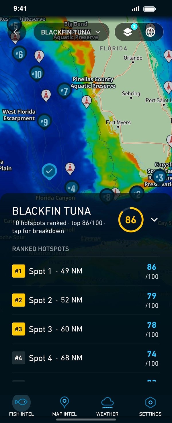
On a flat shelf, knowing where the edge and the hard bottom sit matters more than the run itself. In Breakpoint, Chart Contours show the bottom breaks and reef areas, while OBS SST and Chlorophyll show where the Gulf Stream edge and color breaks are. Cloud can block a satellite pass, and the app tells you when that happens. The layers can improve your decision about where to look, but they can’t promise fish, and chart layers are not for navigation.
Ports
Four port pages cover the coast, north to south. Charters run from all of them, and tournaments run out of several. Tap a number on the map, or a stretch below, to zoom in on its ports.
1 port
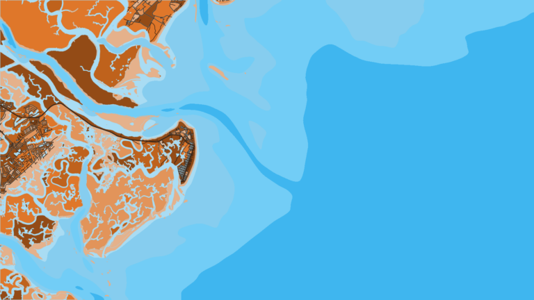
The northern end, where Tybee Island and Wassaw Sound open toward the nearshore reefs.
1 port
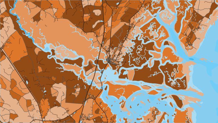
The main concentration of charters on the coast, and home to the DNR Coastal Resources Division in Brunswick.
Seasons
What tends to be around each season. Open seasons are covered under Regulations.
Offshore
king mackerel, cobia
Nearshore
cobia, tarpon arriving
Offshore
dolphin, king mackerel, red snapper on bottom (subject to federal season)
Nearshore
tarpon, tripletail, Spanish mackerel
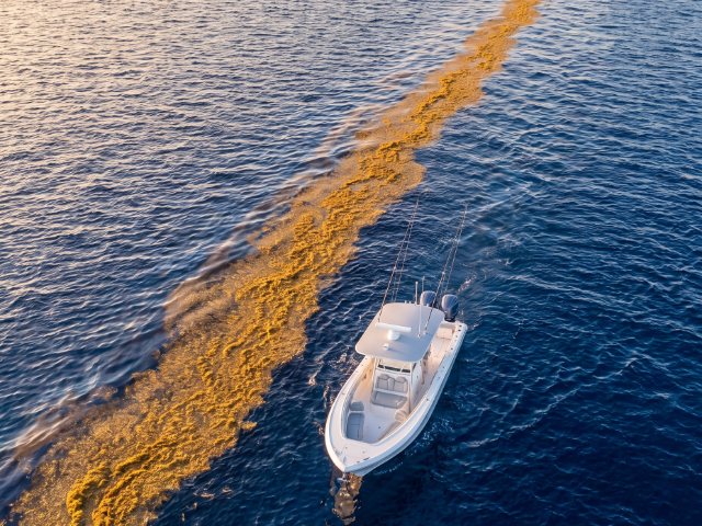
Offshore
wahoo, king mackerel
Nearshore
bull redfish at the inlets and sounds
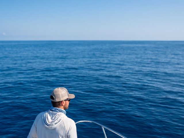
Offshore
black sea bass and bottom fishing on live bottom
Nearshore
sheepshead on reefs and structure
Seasons shift with water temperature, so the table shows a general pattern rather than a guarantee.
Red snapper follows the federal season. The agencies that set it are named in the Regulations section.
Temperature breaks and color edges shift with wind and current. In Breakpoint, these three layers show those edges and the bottom structure near them.
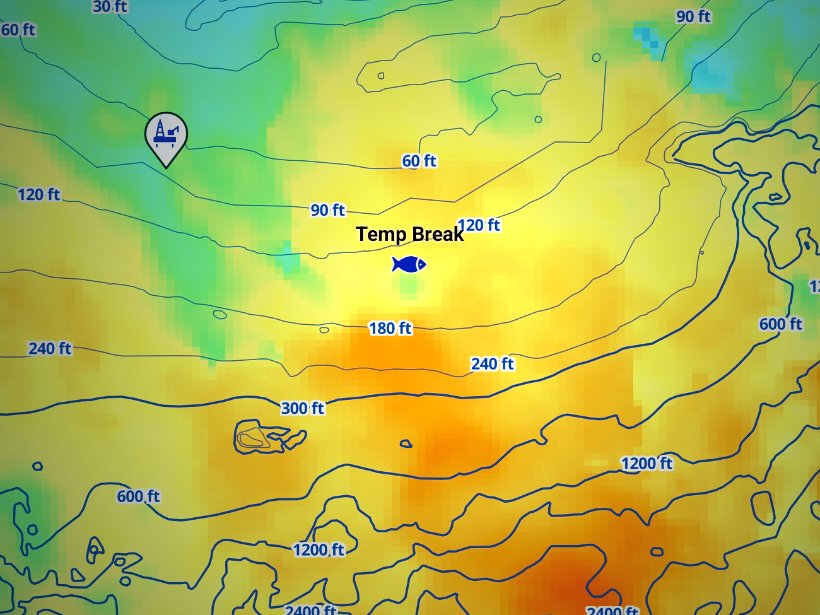
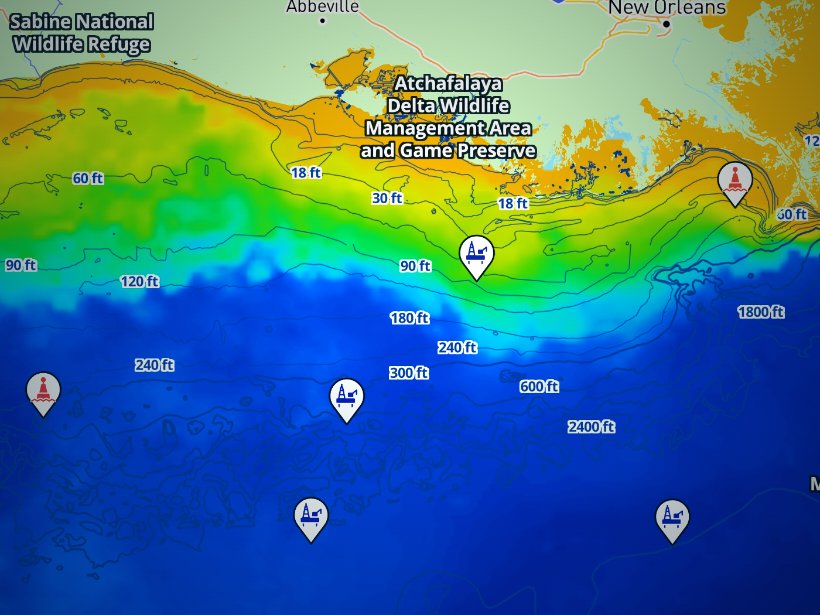
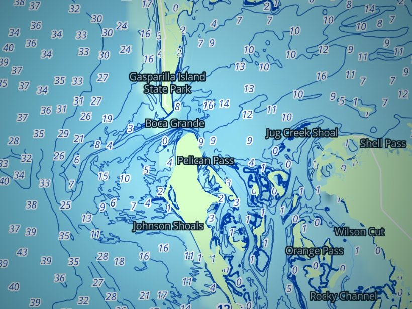
Clouds block satellite SST passes, so some days show gaps. Chart layers are not for navigation.
Charters and tournaments
Regulations
Georgia’s rules change with distance from shore. Work outward from the beach: state waters, the 3 nautical mile line, federal waters, then the special areas.
| State waters (0 to 3 nm) | Federal waters (beyond 3 nm) | |
|---|---|---|
| Who sets rules | Georgia DNR Coastal Resources Division | SAFMC and NOAA Fisheries |
| License | Georgia license plus SIP | Georgia license plus SIP, plus HMS permit for HMS species |
State waters. Georgia DNR Coastal Resources Division sets the rules from shore to 3 nautical miles. Anglers 16 and older need to buy a Georgia fishing license and the free Saltwater Information Program (SIP) permit, in both state and federal waters off Georgia. The SIP expires 365 days after issue and must be renewed every year, including by lifetime, senior and multi-year license holders. Reciprocal licenses with Alabama, South Carolina and Florida do not cover saltwater. The Georgia saltwater fishing regulations digest points to DNR for current rules.
Georgia has also created a Reef & Migratory Fish Endorsement covering offshore species such as red snapper, black sea bass, cobia, dolphin and king mackerel. Check DNR for when it applies to you.
Federal waters. From 3 to 200 nautical miles, the South Atlantic Fishery Management Council and NOAA Fisheries Southeast set the rules, and federal closures apply. Rules for red snapper, gag and greater amberjack change by season or quota, so check the agencies before every trip rather than relying on a figure from last year. The SAFMC federal managed areas page covers the zones off Georgia.
For-hire vessels. A vessel with a federal charter vessel/headboat permit follows federal snapper-grouper closures even in state waters. Those permits cover snapper-grouper, coastal migratory pelagics (king and Spanish mackerel), and dolphin and wahoo.
Special management zones. The 19 reefs beyond 3 miles allow handline, rod and reel, and spearfishing gear only. Sea bass pots and bottom longlines are prohibited.
Gray’s Reef. The sanctuary’s rules differ from the surrounding water, so read the Gray’s Reef sanctuary regulations before you go:
Georgia MPA. No one may fish for or possess snapper-grouper inside the area. You may transit only with gear stowed: terminal gear disconnected and stowed separately, and the rod and reel out of the holder and stowed on or below deck. The Georgia MPA rule and boundary carries the coordinates.
Highly migratory species. Tunas, billfish, swordfish and sharks are federal HMS, and the permit comes from the NOAA HMS permit portal. Billfish may be landed in Georgia when all federal rules are followed. Georgia sets its own state-waters shark rules, including a circle-hook requirement. Tournament boats targeting these species need the permit.
Before every trip, check the agency pages and the Georgia fishing regulations.
FAQ
Official answers come from the state wildlife agency and NOAA Fisheries. Check them before you go.
Yes, if you are 16 or older. Georgia DNR requires a fishing license plus the free SIP permit in both state and federal waters off Georgia. The SIP renews every year. DNR has also created a Reef & Migratory Fish Endorsement, so check its page. Details are on the Georgia fishing regulations page.
Often, but ask before the trip. Georgia DNR lets saltwater guides buy a blanket license that can cover their customers, but not every guide carries one. Guide licenses are issued by the DNR Coastal Regional License Office, so the guide can tell you what their license covers.
It is a long run, because the shelf is wide and shallow. The distance depends on your port and where the edge sits that day. OBS SST shows the edge, though cloud can block a satellite pass. For wind, wave height and period, use the official NOAA marine forecast.
You cannot anchor. NOAA limits fishing to rod and reel and handline. Spearfishing gear may be carried only when stowed and passing through without interruption, and other gear must be stowed and not available for immediate use. Check NOAA Gray’s Reef before you go.
NOAA Fisheries and the SAFMC set the federal season, and it can change. Check NOAA Fisheries and Georgia DNR before the trip. Federally permitted charters follow federal closures in state waters too. We print no dates or limits here because they move.
Kingfish events run out of the Golden Isles, and bull red drum events run out of St. Simons. Inshore events run from Tybee. See the Savannah and Golden Isles port pages above for each stretch. Boats fishing tournaments for tuna or billfish need the federal HMS permit from NOAA.
Ranked hotspots, live ocean layers and offline maps.
Open Breakpoint