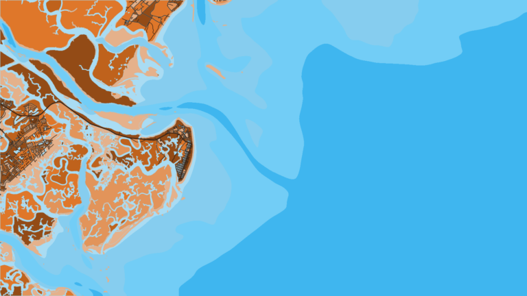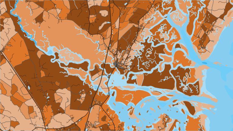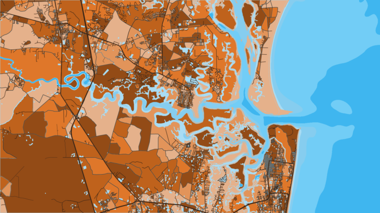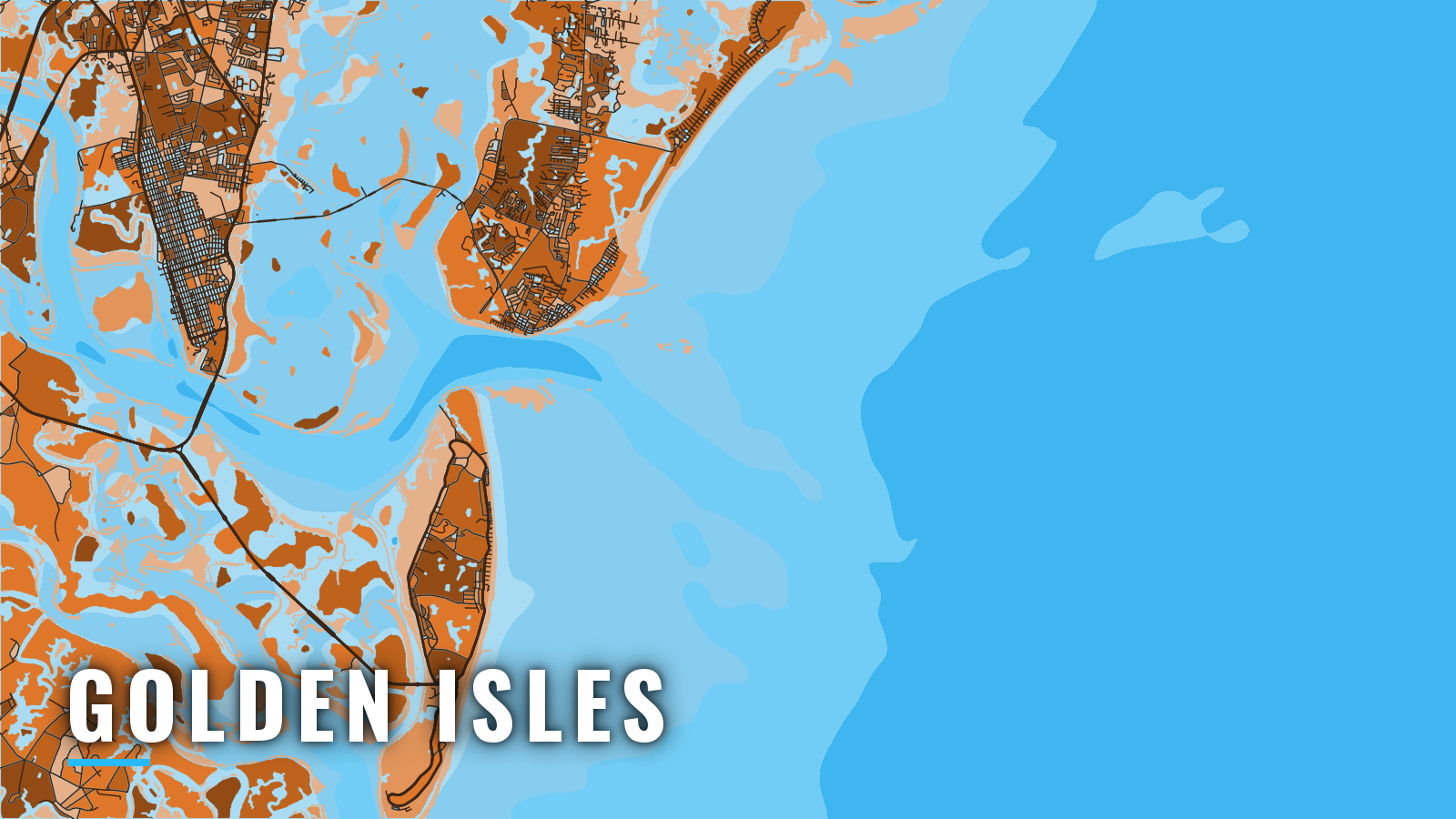

About Golden Isles
Golden Isles offshore fishing starts at St. Simons Sound, where Brunswick, St. Simons Island and Jekyll Island share one ocean entrance across a bar that runs 5.5 miles offshore. Offshore fishing runs spring through autumn, with bottom fishing on the reefs year-round. The main targets are cobia, king mackerel, amberjack, black sea bass, snapper and tripletail.
The port sits on the wider South Atlantic coast and suits owner-operators who want a marked, dredged entrance and a short list of public launches. State and federal rules both apply offshore, and federal waters begin at 3 nautical miles. Check the Georgia fishing regulations before fishing. This page covers where to launch, how the bar behaves, and what the reefs offer by season.
Access and navigation
Public ramps in Glynn County and two fuel docks serve the Golden Isles:
- Jekyll Island Boat Ramp – public Glynn County ramp on Jekyll Island, per the DNR listing.
- Sidney Lanier Park Boat Ramp – public Glynn County ramp, per the DNR listing.
- Village Creek Boat Ramp – public Glynn County ramp on St. Simons Island.
- Mackay River Boat Ramp – public Glynn County ramp.
- South Brunswick River Boat Ramp – public Glynn County ramp.
- Blythe Island Regional Boat Ramp – public Glynn County ramp.
- Blythe Island Beach Drive Boat Ramp – public Glynn County ramp.
- St. Simons Marina boat launch – run by the St. Simons Boating and Fishing Club under lease from Glynn County.
- Morningstar Marinas Golden Isles – transient dockage and a fuel dock.
- St. Simons Marina – fuel dock.
The coast has a large tidal range, which can affect launching and retrieving at any of these ramps.
The St. Simons Sound entrance
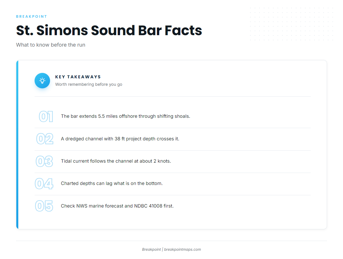
The bar extends 5.5 miles offshore through shifting shoals. A dredged channel with a federal project depth of 38 ft crosses it, marked by a lighted buoy, lighted ranges and directional lights. NOAA Coast Pilot 4 guidance covers the details. Because the bar shifts, charted depths can lag what is on the bottom.
Tidal current follows the channel across the bar at about 2 knots. Northeasterly weather tends to bring a strong southerly set across the channel, and southeasterly weather tends to bring a strong northerly set. An ebb running against an onshore wind can stand up a steeper sea on the bar.
Sediment traps on the north side of the entrance channel can shoal quickly and spill into the channel. An unmarked wreck covered 25 ft lies about 1.4 miles east of the bar channel entrance, near 31°03’10"N 81°13’45"W. Several fish havens sit north, south and east of the approach.
Deep-draft ships share the sound. Voluntary port guidelines call for SECURITE calls on VHF 13 in three places: inbound at the St. Simons lighted buoy STS, when leaving any dock in the port, and northbound near Jekyll Creek Light 19 on the Intracoastal Waterway. Passing ships can throw strong surges and cross current along the Brunswick River shoreline.
The alternative approach
St. Andrew Sound lies south of Jekyll Island and is a second ocean entrance. Its shifting bar sits about 5 miles offshore, and older surveys report a controlling depth of 12 ft. Because the bar moves, treat that depth as a starting point. Pilot guidance for the neighboring sound to the north advises entering via St. Simons Sound and the Intracoastal Waterway when there is too much sea to cross, which points to St. Simons as the deeper, marked entrance.
Before you cross the bar
On arrival, look at the water and read the NWS marine forecast. Check wind, wave height and period at the NDBC 41008 Grays Reef buoy. If the bar looks bigger than you want, switch approaches or wait. The decision rests with the skipper.
Fishing conditions
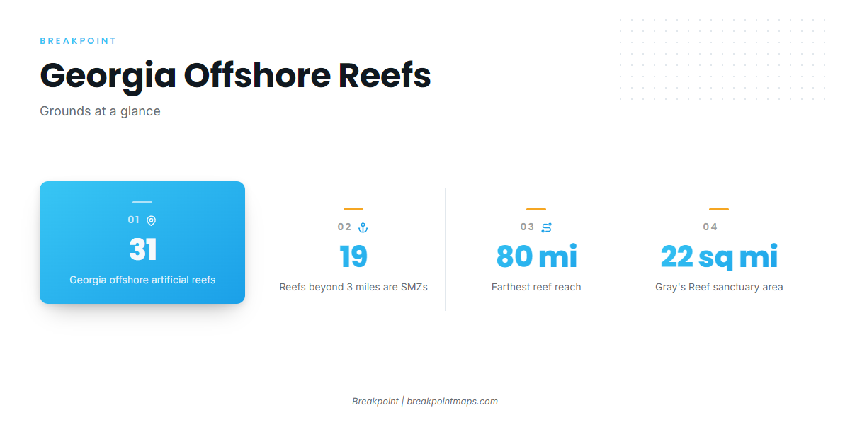
Georgia maintains 31 offshore artificial reefs that reach out to 80 miles. The 19 reefs beyond 3 miles are federal special management zones, where fishing is limited to handline, rod and reel, and spearfishing gear under the federal special management zone rules. Coordinates sit on the Georgia DNR offshore reef coordinates page.
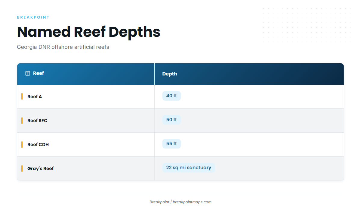
| Reef | Depth |
|---|---|
| Reef A | 40 ft |
| Reef SFC | 50 ft |
| Reef CDH | 55 ft |
Fish havens near the St. Simons approach also hold structure. Amberjack tend to hold on the deeper reefs and wrecks.
Gray’s Reef National Marine Sanctuary lies about 19 miles off Sapelo Island and covers 22 square miles. Only rod and reel or handline gear is allowed, and anchoring is prohibited. Read the Gray’s Reef sanctuary regulations before you fish it.
Live bottom and ledges lie beyond the reefs. Farther out, the Gulf Stream edge holds mahi, wahoo and sailfish, and their timing can shift from run to run. The edge moves, and we show it with the OBS SST and Chlorophyll layers. Chart layers are not for navigation.
Winter
Offshore effort shifts to bottom fishing on the reefs. Black sea bass and sheepshead hold on reefs and wrecks. Weather windows can run shorter, which makes the buoy and forecast check matter more.
Spring
Cobia arrive around reefs, wrecks and buoys, and the run can stretch from spring into summer. For more, see cobia along the Southeast coast. Amberjack and barracuda are on the deeper reefs. Tripletail can show near buoys and floating debris. Black sea bass and sheepshead continue on the reefs.
Summer
Trolling picks up, and king mackerel join cobia on the reefs and live bottom. Snapper and amberjack are on the structure. Shark are around, and tripletail continue near buoys. Snapper rules shift, so check the agency pages before you keep fish.
Autumn
King mackerel remain a reef and live-bait target, covered in king mackerel off the Southeast. Amberjack, barracuda, snapper and tripletail are on the reefs. Black sea bass carries on into winter.