Winter
Offshore
bluefin tuna off Hatteras and Morehead City, blackfin tuna and yellowfin tuna on Gulf Stream edges
Nearshore
striped bass in state waters off the Outer Banks, black sea bass on wrecks




The Gulf Stream comes closer to land at Cape Hatteras than anywhere else on the coast. No other state on the US Atlantic coast has bluewater this close to an inlet. This page covers why each stretch fishes the way it does, which port to run from, what runs each season, and which rules apply where.
 By Breakpoint Team
The coast
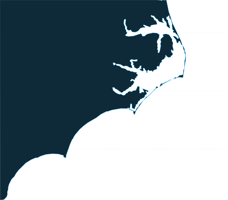
The Gulf Stream swings in tight to the beach at Cape Hatteras. Cold water riding south from the Labrador side meets it there, and the mixing zone creates temperature edges and current breaks. Diamond Shoals pushes out from the cape and stacks bait along its edges.
The Outer Banks fish short to bluewater. Oregon Inlet and Hatteras Inlet reach the Stream faster than any other ports in the state. The wreck-strewn bottom here is known as the "Graveyard of the Atlantic," and the same shoals that gather bait also make the approaches demanding.
South of the cape, the Stream bends away from shore and runs get longer. Morehead City runs through Beaufort Inlet into Onslow Bay, the broad bight between Cape Lookout and Cape Fear, with Cape Lookout Shoals and Frying Pan Shoals marking its edges. Ports in that stretch rely on reefs, wrecks and ledges for king mackerel, amberjack and bottom fish, and they can still reach the Stream on full days.
North of the cape, the water and species follow the Atlantic Northeast fishing guide; south of it, they follow the Atlantic Southeast fishing guide. North Carolina fishes on both sides of that line, with cooler water to the north and warmer water to the south.
Before you pick an inlet, find the temperature edge on OBS SST and the color break on Chlorophyll. Cloud often blocks SST passes over the Stream in winter, so a missing edge may simply be a missing pass. The chart layers are not for navigation. Oregon Inlet and the other inlets shift with shoaling after storms, so check the latest Coast Guard and Army Corps of Engineers notices and the National Weather Service marine forecast before you run.
Ports
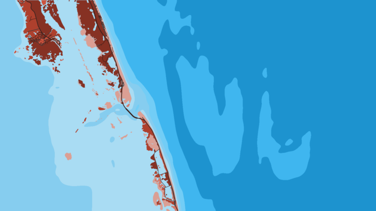
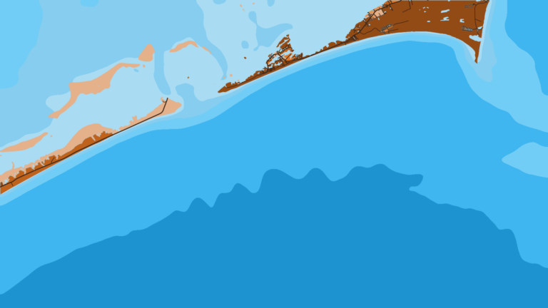
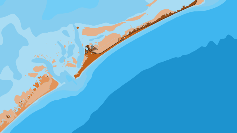
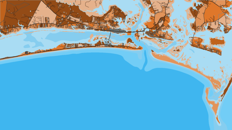
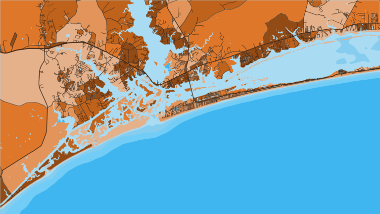
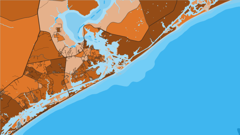
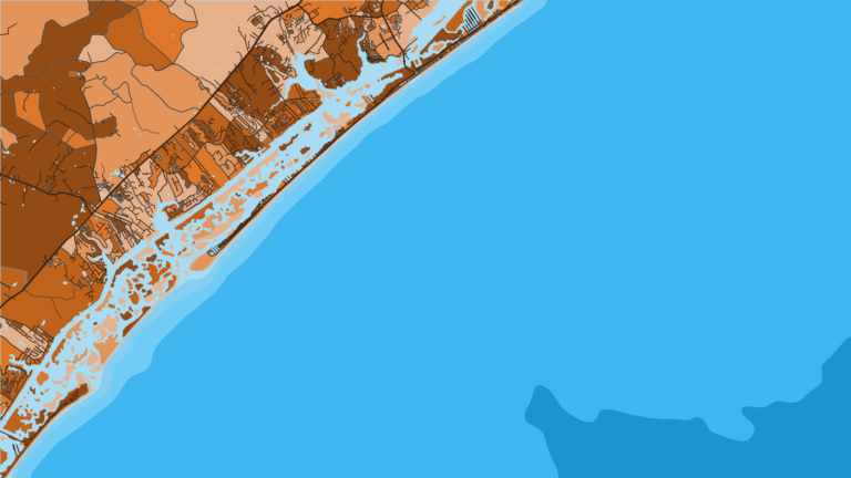
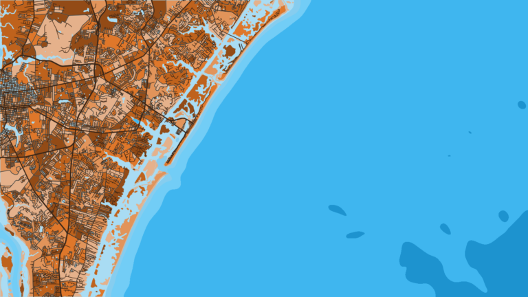
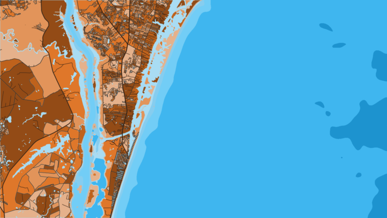
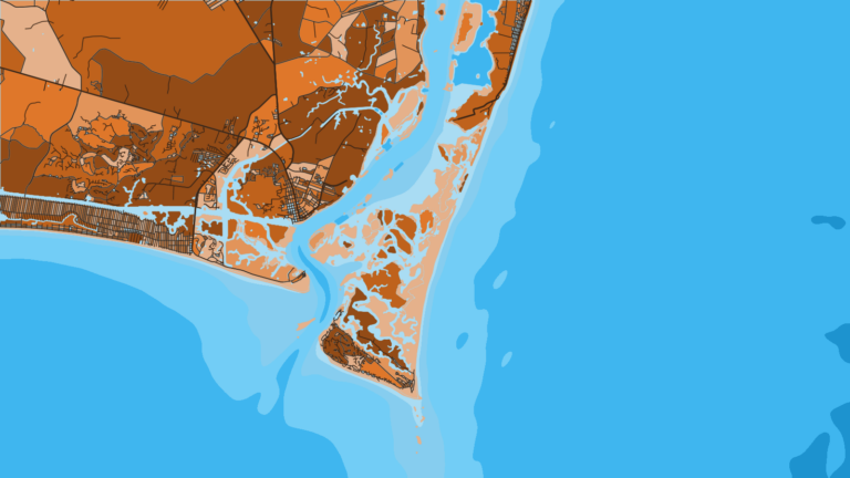
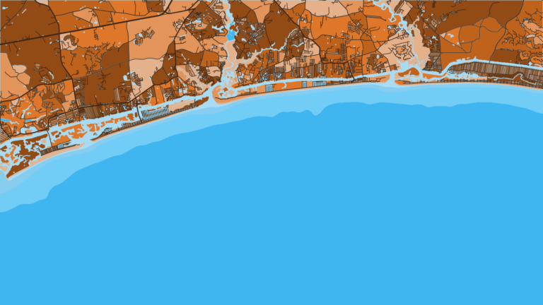
Eleven ports cover the coast. Each page has the local run and the structure along it on Chart Contours. Tap a number on the map, or a stretch below, to zoom in on its ports.
3 ports
These are the shortest runs to the Gulf Stream on the coast, with the Diamond Shoals mixing zone in reach.
2 ports
The Stream sits farther off than at Hatteras, and Cape Lookout Shoals and offshore wrecks fill the water in between.
2 ports
A broad bight of hard bottom, ledges and artificial reefs between Cape Lookout and Cape Fear.
4 ports
These are the longest runs to the Stream, so reefs, wrecks and ledges carry most trips, with Frying Pan Shoals off the cape.
Seasons
What tends to be around each season. Open seasons are covered under Regulations.
Offshore
bluefin tuna off Hatteras and Morehead City, blackfin tuna and yellowfin tuna on Gulf Stream edges
Nearshore
striped bass in state waters off the Outer Banks, black sea bass on wrecks
Offshore
yellowfin tuna, early blue marlin, mahi (dolphin) and wahoo along the Gulf Stream
Nearshore
cobia, amberjack and bottom fish on reefs and wrecks
Offshore
blue marlin, white marlin and sailfish, mahi and wahoo
Nearshore
king mackerel, Spanish mackerel and amberjack on reefs, wrecks and ledges
Offshore
wahoo, yellowfin tuna, blackfin tuna and white marlin
Nearshore
king mackerel, false albacore and red drum
What runs depends on where the Stream and the cooler shelf water sit, so treat these as patterns rather than guarantees.
Some of these species have closed seasons or quotas, so check the rules below before you keep anything.
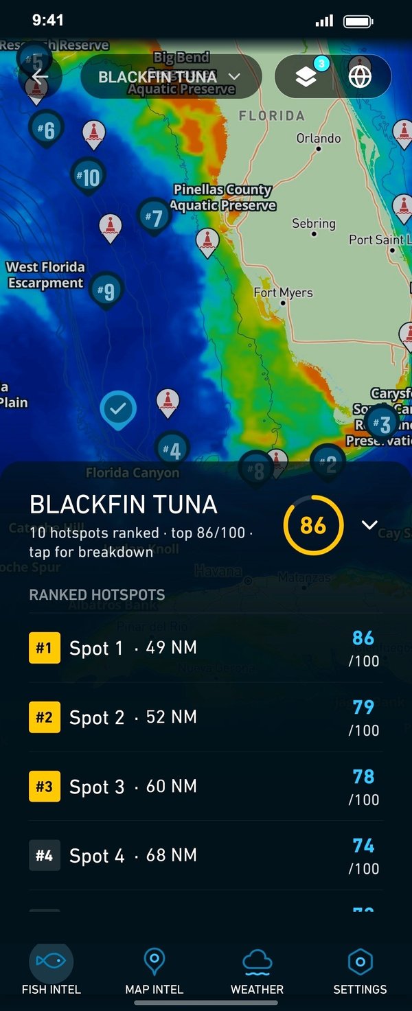
Temperature breaks and color edges shift with wind and current. In Breakpoint, these three layers show those edges and the bottom structure near them.
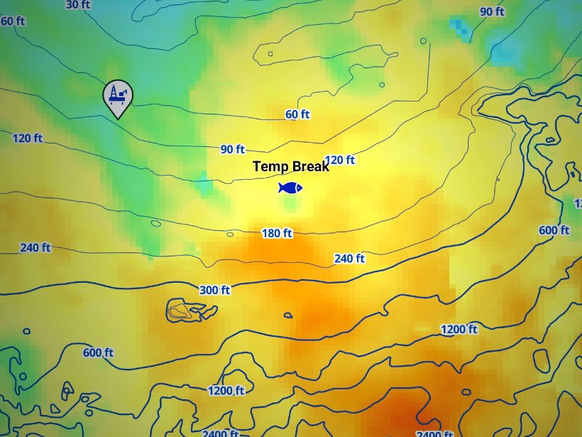
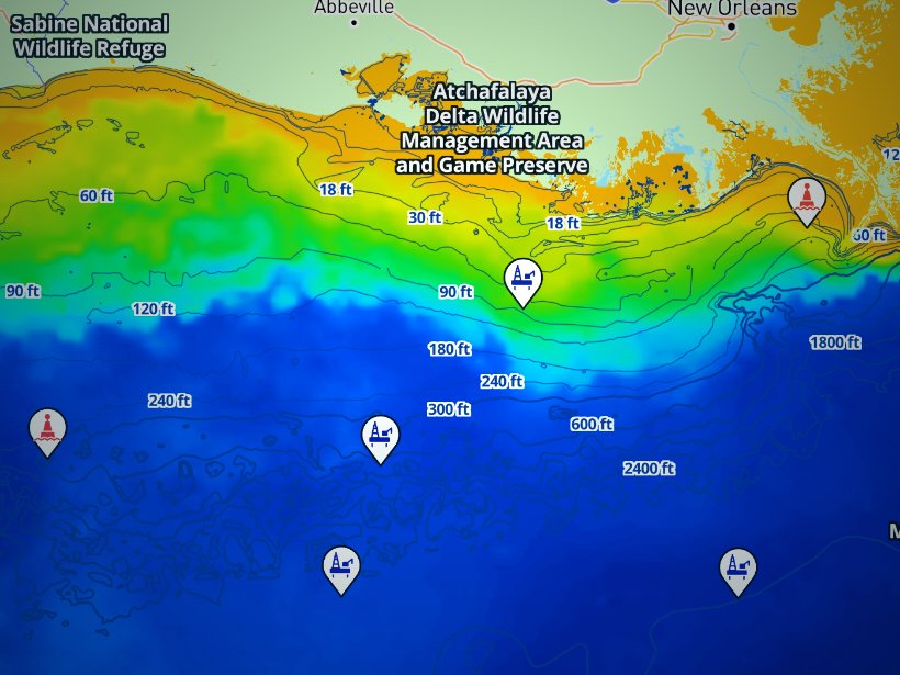
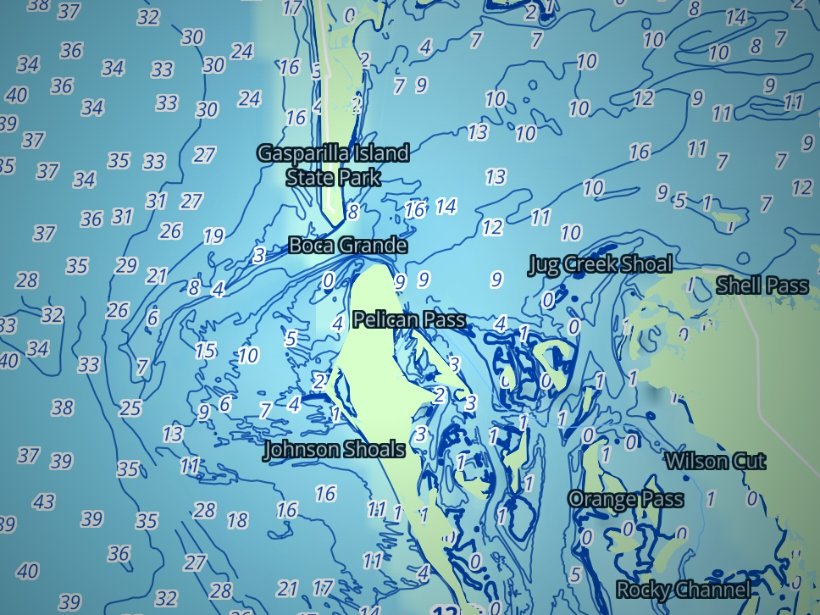
Clouds block satellite SST passes, so some days show gaps. Chart layers are not for navigation.
Charters and tournaments
Regulations
Rules split by distance from shore and by which side of Cape Hatteras you fish. Check the North Carolina regulations page before every trip.
State waters run from shore to 3 miles; federal waters run from 3 to 200 miles. The North Carolina Division of Marine Fisheries sets the state rules, the Marine Fisheries Commission adopts them, and the Fisheries Director changes seasons by proclamation. Read the NCDMF size and bag limits before you keep a fish.
NOAA Fisheries and the South Atlantic Fishery Management Council set the federal rules. Read the South Atlantic Council regulations for what applies south of the cape.
Cape Hatteras, at 35°15.3′ N, is the dividing line. North of it, black sea bass falls under the Mid-Atlantic Fishery Management Council. South of it, the South Atlantic Council plans apply.
For snapper-grouper, a dehooking tool and a descending device must be aboard and ready. The device carries at least a 16-ounce weight on 60 feet of line. With natural bait, use non-offset, non-stainless circle hooks. The full text is in the federal snapper-grouper gear rules.
Red snapper possession is closed except during a limited season that NOAA announces. Check NOAA Fisheries before you keep one. A boat holding a federal for-hire or commercial snapper-grouper permit follows the federal closures in state waters too.
License fees change, so the regulations page carries the current ones.
FAQ
Official answers come from the state wildlife agency and NOAA Fisheries. Check them before you go.
Hatteras and Oregon Inlet, because the Stream swings closest to shore at Cape Hatteras. Ports south of Cape Lookout run farther, and reefs, wrecks and ledges carry more of the trip. Check the port page for the local run.
Not if the vessel holds a blanket for-hire license, which covers its patrons. Without one, each angler 16 or older needs a CRFL, so confirm when you book. The regulations page has the details.
Yes, to fish for or keep Atlantic tunas, billfish, swordfish or sharks from a private boat, in state or federal waters. Blackfin tuna and false albacore are excluded. Charter patrons fish under the vessel’s own permits.
Half-day trips stay west of the Gulf Stream, working reefs, wrecks and king mackerel water. Full-day trips run to the Stream for billfish, tuna, mahi and wahoo. Head boats offer group bottom fishing. VisitNC’s offshore fishing overview covers how the trips split.
Morehead City hosts the Big Rock Blue Marlin Tournament. The Hatteras and Oregon Inlet fleets fish their own summer billfish tournaments. Most billfish are released, as the Crystal Coast offshore guide notes. An HMS permit applies to the boat. Check each tournament’s official site for dates and rules.
Possession is closed except during a limited season that NOAA Fisheries announces each year, and NCDMF matches it. Check NOAA’s announcement before you keep one. Release with a descending device at other times.
Yes. Bluefin tuna stage off Hatteras and Morehead City in winter. They need an HMS permit and fall under federal quota and size rules, so check NOAA before the trip. Cloud often hides the Stream on winter SST passes.
At 35°15.3′ N. North of it, black sea bass follows Mid-Atlantic rules and a separate state season. South of it, the South Atlantic Council rules apply. Know which side you are fishing and where you land.
Ranked hotspots, live ocean layers and offline maps.
Open Breakpoint