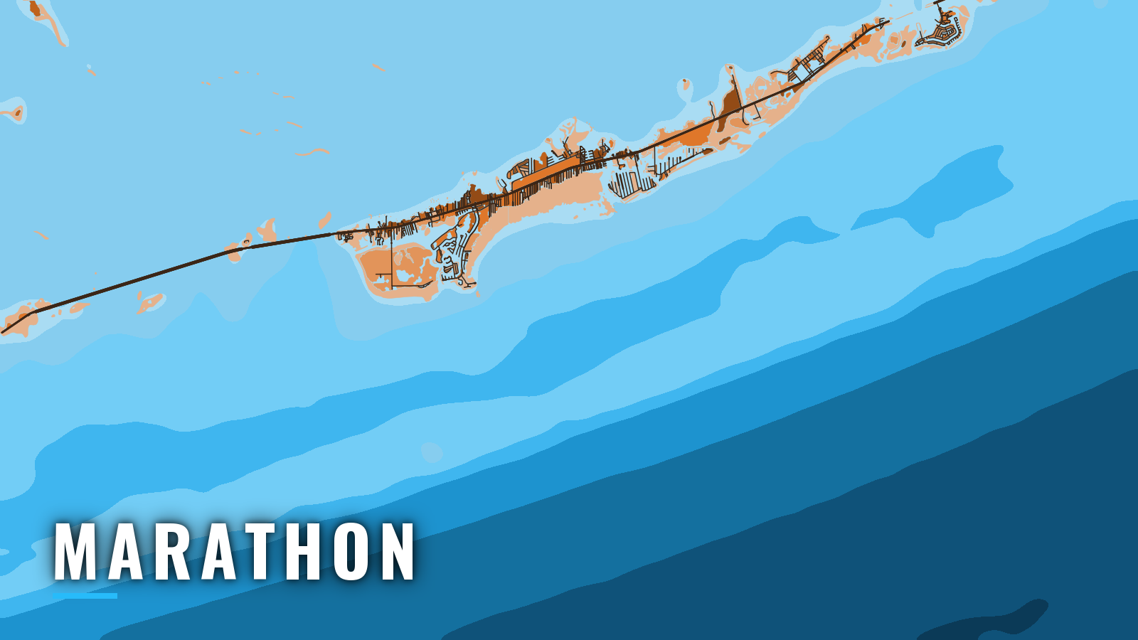

About Marathon
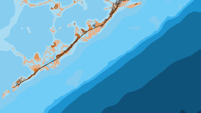
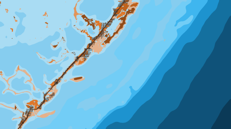
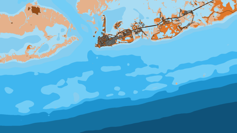
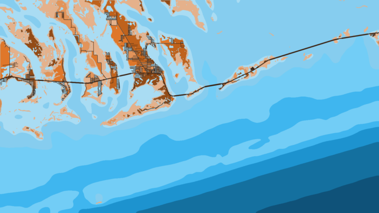
Marathon’s offshore fishing runs out of Boot Key Harbor in the Middle Keys. The reef line and the Straits of Florida lie on the Atlantic side, with Florida Bay behind the islands. Boats fish here year-round for sailfish, mahi-mahi, blackfin tuna, wahoo, king mackerel, yellowtail snapper, mutton snapper and tarpon.
This is Atlantic-side water facing the Straits of Florida, covered in more detail in our Atlantic Southeast fishing guide. Florida rules, including reef fish requirements and sanctuary zones, are on our Florida page.
Access and navigation in Marathon
The city runs the public ramps, and a few marinas have private ramps.
Ramps
- 33rd Street Boat Ramp – City of Marathon public ramp
- The Quay Boat Ramp (MM 54) – City of Marathon public ramp at mile marker 54
- Harbor Drive Boat Ramp – City of Marathon public ramp
- Skipjack Resort & Marina – private ramp
- Harbor Point Marina – private ramp
- Hawks Cay Marina (Duck Key) – private ramp on Duck Key
Marinas
- Faro Blanco Marina – marina with fuel
- Boot Key Harbor City Marina – city marina and municipal mooring field
- Blue Waters Marina at Courtyard Faro Blanco – resort marina
- Captain Hook’s Marina – marina
Atlantic approaches
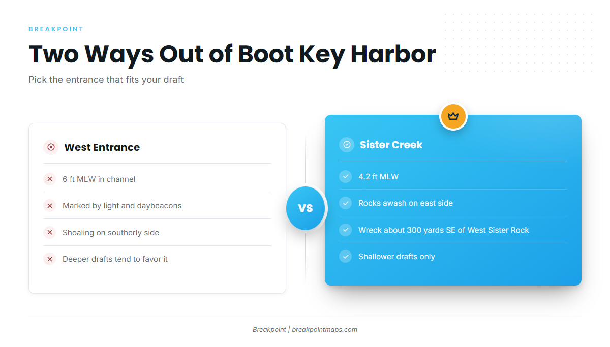
Boot Key Harbor reaches the Atlantic through two entrances. The west entrance channel is narrow and marked by a light and daybeacons. The city gives 6 ft at mean low water there and in the inside channel. Sister Creek, the south entrance, carries 4.2 ft at mean low water, so deeper-draft boats tend to favor the west entrance. The U.S. Coast Pilot 4, Chapter 11 reports shoaling along the southerly side of the west entrance channel, rocks awash reaching into Sister Creek from its east side, and a sunken wreck about 300 yards southeast of West Sister Rock.
Outside, Hawk Channel runs 9 to 34 ft deep inside the reef line. The reefs lie about 5 miles off the keys on average and are not always marked by breakers in smooth weather, so navigate by the chart rather than by eye.
Gulf Stream and wind against current
The NWS Key West marine forecast gives the Gulf Stream’s shoreward edge as a distance and bearing from Sombrero Key Light. Read the edge position in the synopsis on the day.
The Stream sets roughly east-northeast along the reef. A wind blowing against it tends to stand the seas up and shorten their period near the edge, while a wind running with it tends to lay them down.
Alternative approach: Moser Channel
Moser Channel at the Seven Mile Bridge links to the Florida Bay side. Tidal current at the bridge runs about 1.4 to 1.8 knots. Easterly winds tend to increase the northward flow and westerly winds the southward flow. Overfalls can occur near the bridge at times of large tides. If the Atlantic side looks bigger than the boat or crew wants, the bay side is the alternative.
Before you leave the dock
On arrival, look at the water, check NDBC station SMKF1 at Sombrero and read the NWS forecast. The buoy shows conditions at one point only, and the forecast covers a wider area but can miss local changes. If the water looks bigger than you want, switch approaches or fish the bay side.
Reading OBS SST and Chart Contours over the humps in Breakpoint can help you decide where to look. Chart layers are not for navigation.
Fishing conditions off Marathon
The grounds change character as you work outward from the inlet. Seven Mile Bridge Reefs, The Donut and Sombrero Reef sit on the reef line. The Thunderbolt Wreck is deeper structure outside the reef. Marathon Hump, 408 Hump and Marathon West Hump are the offshore seamounts.
Sombrero Reef lies within the Florida Keys National Marine Sanctuary. In Sanctuary Preservation Areas, anchor gear must not touch coral. Rules are set by FWC, so check the FWC saltwater recreational rules before fishing.
| Ground | Type | What it offers |
|---|---|---|
| Seven Mile Bridge Reefs | Reef | Reef line structure |
| The Donut | Reef | Reef line structure |
| Sombrero Reef | Reef | Reef line, inside the sanctuary |
| Thunderbolt Wreck | Wreck | Deeper structure outside the reef |
| Marathon Hump | Seamount | Offshore pelagic water |
| 408 Hump | Seamount | Offshore pelagic water |
| Marathon West Hump | Seamount | Offshore pelagic water |
Winter
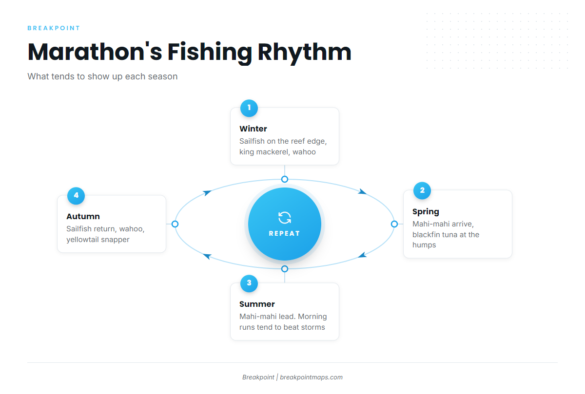
Sailfish tend to work the reef edge. The sailfish fishing guide covers the species in detail. King mackerel can show up as well, and the king mackerel fishing guide has the rest. In Monroe County, king mackerel follows the Gulf rule, not the Atlantic one. Wahoo can turn up along the deeper edges. On the reef, yellowtail snapper and black grouper tend to hold.
Spring
Mahi-mahi start to arrive, and the mahi-mahi fishing guide explains how to read the water for them. Blackfin tuna can gather at the humps, covered in the blackfin tuna fishing guide. Mutton snapper work the reef line, tarpon stage at the bridges, and cobia can pass through. Sailfish tend to linger early in the season.
Summer
Mahi-mahi are the core target, with more in mahi-mahi in the Atlantic Southeast. Blackfin tuna stay in the picture, as laid out in blackfin tuna in the Atlantic Southeast. Wahoo, mangrove snapper and tarpon round out the list. Morning runs tend to finish before afternoon thunderstorms build.
Autumn
Sailfish can return, as covered in sailfish in the Atlantic Southeast. Wahoo tend to feature again, and the wahoo fishing guide has the detail. Mahi-mahi, blackfin tuna, yellowtail snapper and king mackerel all remain on the board.