
About Tarpon Springs
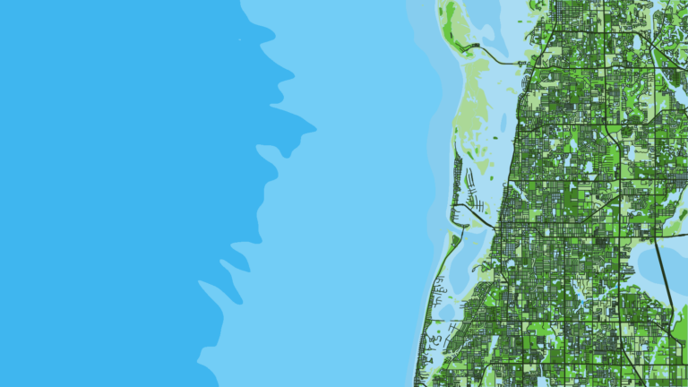
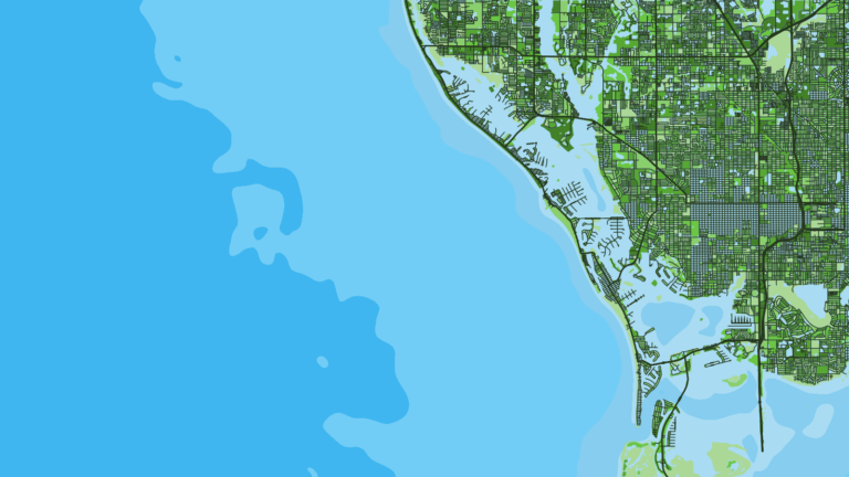
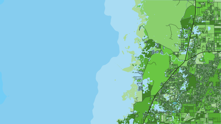
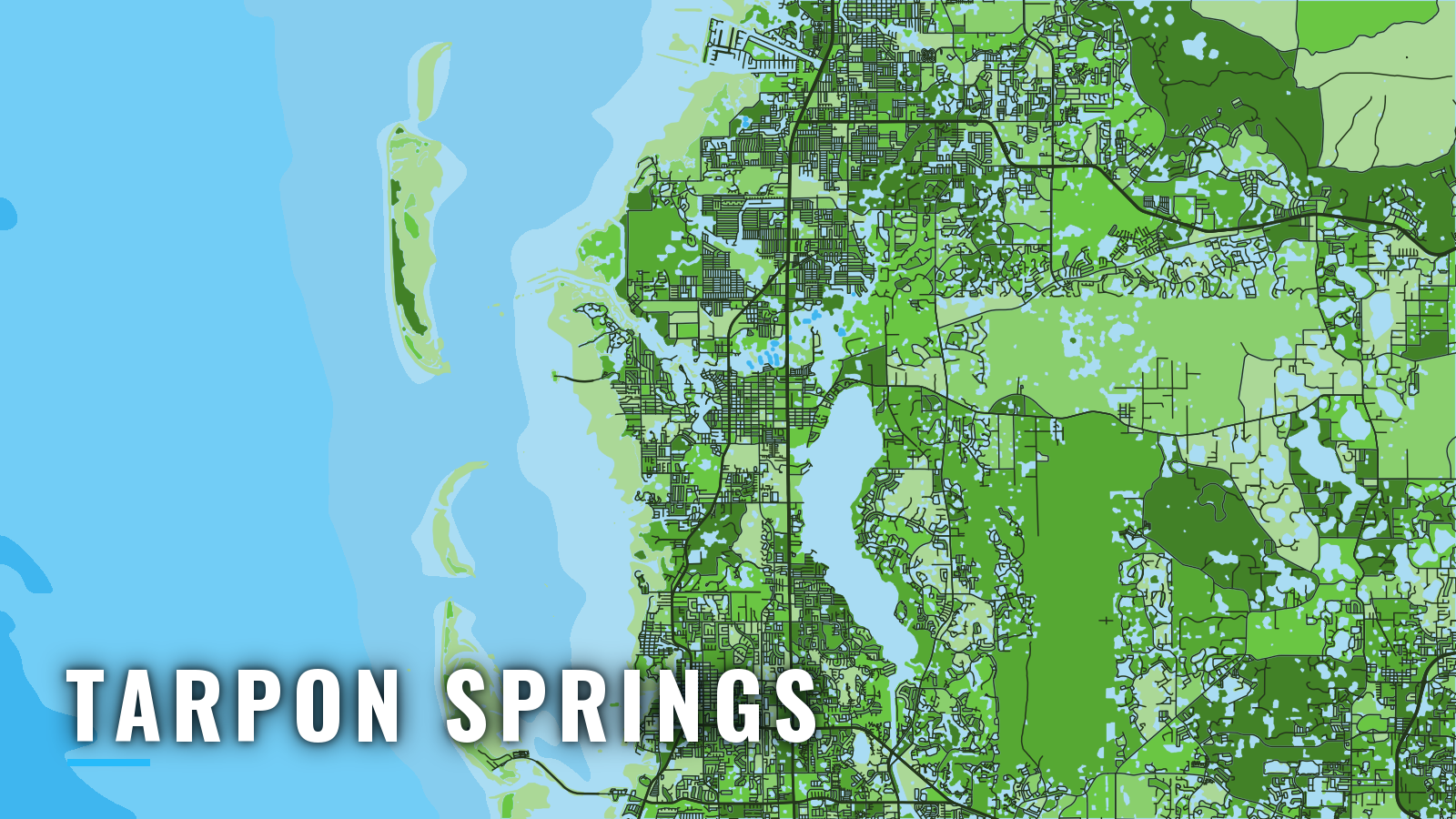
Tarpon Springs sits on the south bank of the Anclote River, 3 miles above the mouth, on Florida’s Gulf coast. The sponge fleet is based here, and the Sponge Docks on Dodecanese Boulevard mark the waterfront. A dredged, lighted channel leads from the Gulf to town. The Coast Pilot puts Hernando Beach 20 miles north of the Anclote River, and the Anclote Keys lie about 13 miles north of Clearwater.
Fishing runs year-round. Gag fish best in the cooler months, and pelagics move through in spring and fall. The offshore targets are gag and red grouper, red snapper, king mackerel, cobia, greater amberjack and mangrove snapper.
This page follows the order of the trip: the ramps, the way out and back, then the grounds by season.
Access and navigation
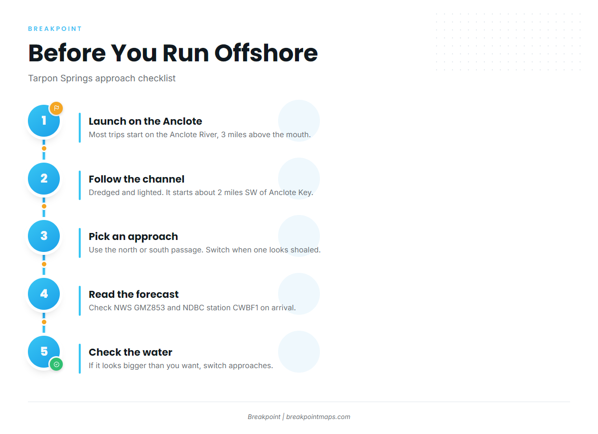
Most offshore trips from Tarpon Springs start on the Anclote River. These are the public ramps and marinas:
- Anclote River ParkPasco County park ramp on the Anclote River, closest to the mouth.
- Craig Park and Sunset Beachcity ramps, Craig Park on Spring Bayou and Sunset Beach on St. Joseph Sound. Sunset Beach needs a city launch permit for non-residents, available from the city clerk or harbormaster.
- Anclote Village Marinafuel.
- Anclote Isles Marinamarina on the Anclote River.
The river empties into St. Joseph Sound over a broad shoal. The dredged channel starts about 2 miles southwest of the south end of Anclote Key and is marked by lighted ranges, lights and daybeacons, per U.S. Coast Pilot 5, Chapter 5. An ebb tide against a westerly wind tends to stack water at the channel mouth. The water shoals fast outside the channel, so stay between the marks.
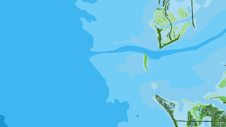
The alternative is the water inside the keys, reached north or south of Anclote Keys. The Coast Pilot describes both passages as well marked. Past reports note shoaling to 2 feet in the south entrance and a shoal that uncovers up to 1.4 miles off the north end of Anclote Key. Use the north route when the south entrance looks shoaled, and the south when the north bar is showing. Shoals move and markers change after storms, so chart soundings and past shoaling reports may not match the water on the day. East of the south end of Anclote Key, the tidal current averages 0.6 knot on the flood and 0.8 knot on the ebb.
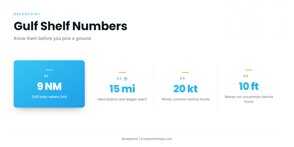
Cold fronts run fall through spring. Winds above 20 knots are common behind them, and waves of 10 feet or more are not uncommon. Sea fog is most common December to early March and tends to form ahead of a front on south to southwest winds, which can close a morning run. Thunderstorms peak May through September, and offshore storms are most frequent in the evening and early morning. Rocks and shoals extend up to 15 miles from shore north of the Anclote Keys, so watch them on the run.
Before leaving, look at the water and read the NWS GMZ853 coastal waters forecast, which covers Englewood to Tarpon Springs, out 20 NM. Check observations at NDBC station CWBF1. If conditions look bigger than you want, switch approaches. A forecast is a forecast, and chart layers are not for navigation.
Fishing conditions
Tarpon Springs sits on a shallow, gradual shelf. Depth comes slowly, so fuel planning matters on longer runs. How the Gulf shelf fishes explains what that means for the bottom and the bait.
The named grounds start close in. Tarpon Springs Reef and the structure around Anclote Key are the nearest. The Pinellas County artificial reef program runs south from Tarpon Springs past Madeira Beach. Broken hard bottom and ledges extend up to 15 miles out. The Florida Middle Grounds is a long run, so plan fuel and weather before heading that way.
Here is what tends to sit where:
- Gag: Hard bottom and ledges, strongest in the cooler months.
- Red grouper: Hard bottom and live bottom, often mixed in with gag.
- Red snapper: Reef and hard-bottom structure, fished inside the season.
- King mackerel: Pass through nearshore waters in spring and fall.
- Mangrove snapper: Reefs and hard bottom in the warm months.
Check the FWC saltwater fishing regulations before fishing. Florida state waters on the Gulf run to 9 nautical miles, and federal rules apply beyond. Private-vessel anglers 16 and older who keep snapper, grouper or amberjack need the free State Reef Fish Angler designation.
Before picking a ground, we would check OBS SST, Chlorophyll and Chart Contours for where the water edges sit. Chart layers are not for navigation.
Winter
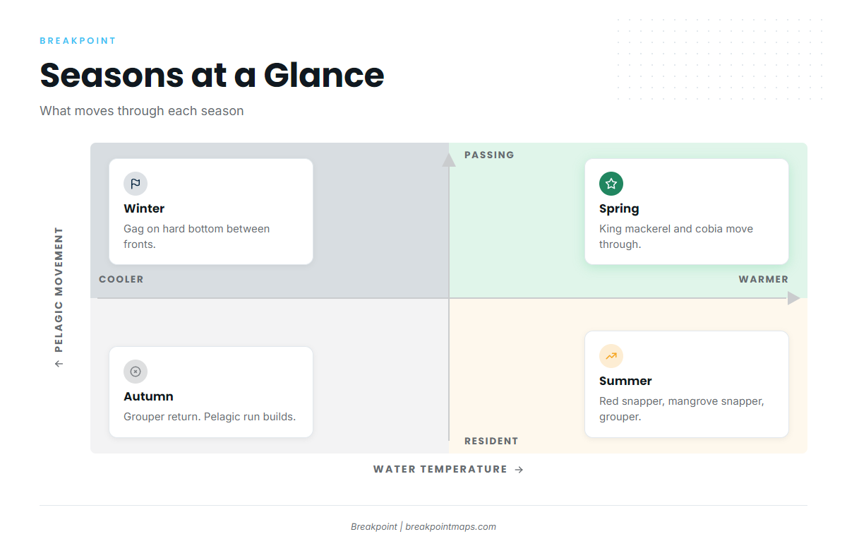
Gag are the winter fish, and they hold on hard bottom between fronts. Fish the windows as the wind lies down behind a front, and plan around the 20-knot and 10-foot numbers above. Fog from December to early March can close a morning run.
Spring
King mackerel and cobia move through. Cobia often show around markers and buoys, and the cobia species guide covers how to work them. Greater amberjack sit on deeper structure.
Summer
Red snapper fish inside the FWC season, so check the agency page for the dates. Mangrove snapper and grouper are on hard bottom and reefs. Some cobia stay through the warm months, as covered in cobia in the Gulf. Thunderstorms peak May through September, so plan the run home around the evening and early-morning cells.
Autumn
Gag and red grouper come back onto the hard bottom. The king mackerel and cobia run returns as the fronts do, and the front cycle starts again.