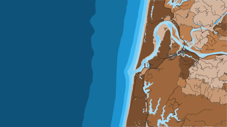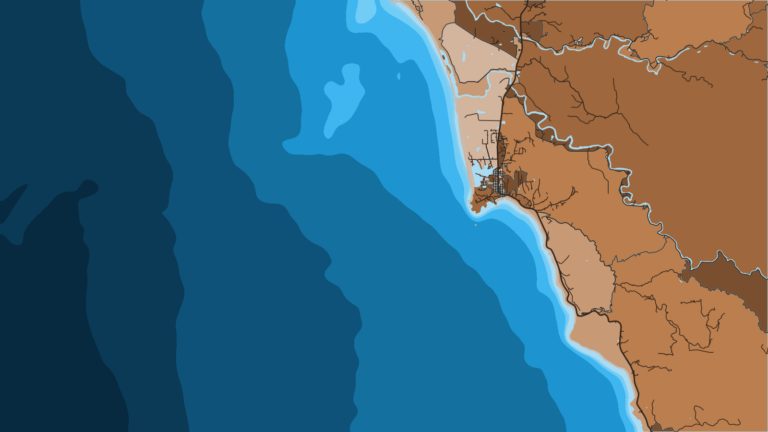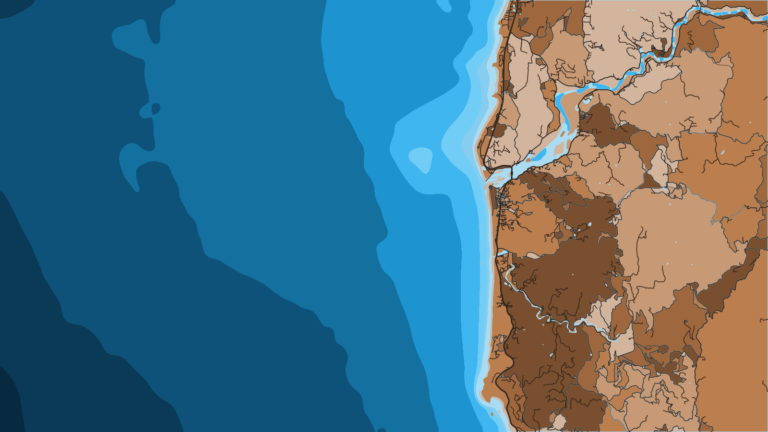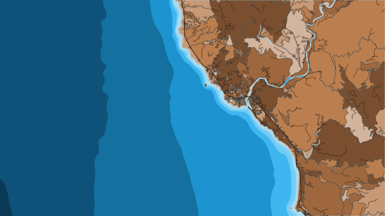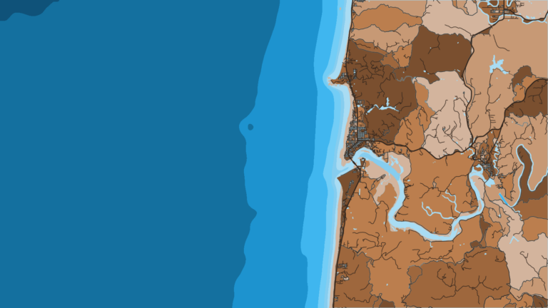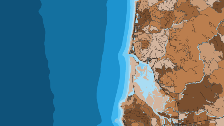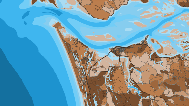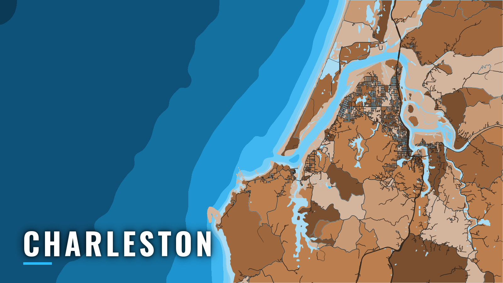

About Charleston
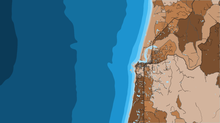
Charleston Boat Basin sits on South Slough just inside the Coos Bay entrance jetties, so every trip offshore crosses the Coos Bay bar. It is one of the south-coast Oregon ports where a trailer boat and a larger offshore boat both have a place to work from.
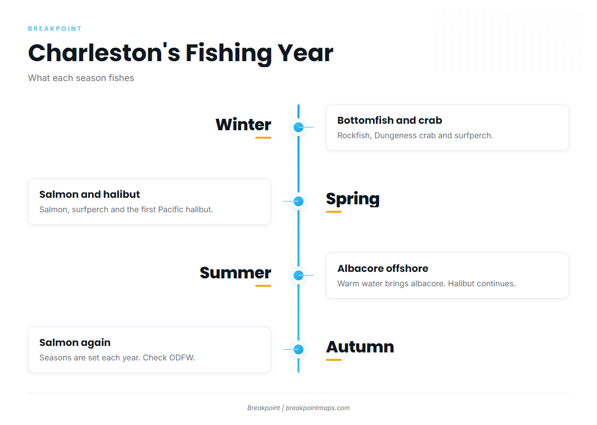
Anglers here target Chinook and coho salmon, Pacific halibut, albacore, lingcod, black rockfish and other rockfish, Dungeness crab and surfperch. Our Pacific Northwest fishing guide covers each species in depth. The fishing year runs from bottomfish and crab in winter to salmon and halibut in spring, albacore in summer and salmon again in autumn. This guide covers how to launch, how the bar tends to behave, and what each season fishes.
Access and navigation
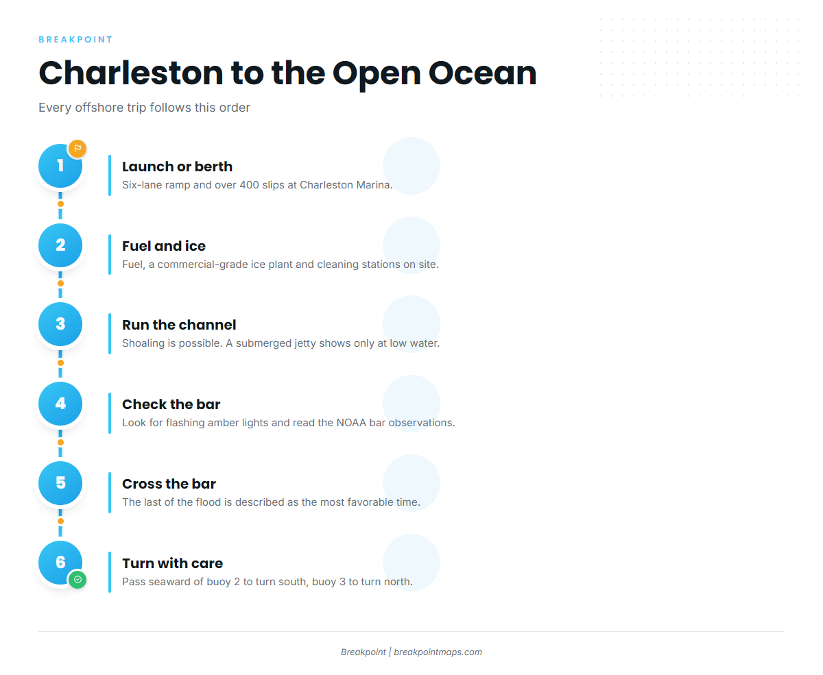
Charleston has a full-service marina for larger boats and a second ramp farther up the bay. Both lead to the same bar.
Launching and berthing
Charleston Marina has a six-lane boat launch with access to bay and ocean fishing. It also has over 400 moorage slips, fuel and a commercial-grade ice plant, which a skipper basing a larger boat needs for offshore runs. Fish and crab cleaning stations are on site for the trip home.
The Empire Boat Ramp is a second option, about 4 miles up the bay from the entrance, which adds a longer run down to the bar.
| Launch point | Location | Notes |
|---|---|---|
| Charleston Marina | Charleston Boat Basin, South Slough | Six-lane launch, 400+ slips, fuel, ice, cleaning stations |
| Empire Boat Ramp | About 4 miles above the entrance | Longer run down the bay to the bar |
The Coos Bay bar
Start with the Charleston Channel. The stretch from the South Slough junction to the basin is subject to shoaling. A submerged jetty at the channel entrance shows only at low water, and a sand spit extends about 450 yards north from South Slough marker 8, parallel to the channel.
The bar itself tends to build where a strong ebb meets onshore wind, sea and swell, and steep, breaking seas can form there. The last of the flood is described as the most favorable time to cross.
The numbers that matter at the entrance:
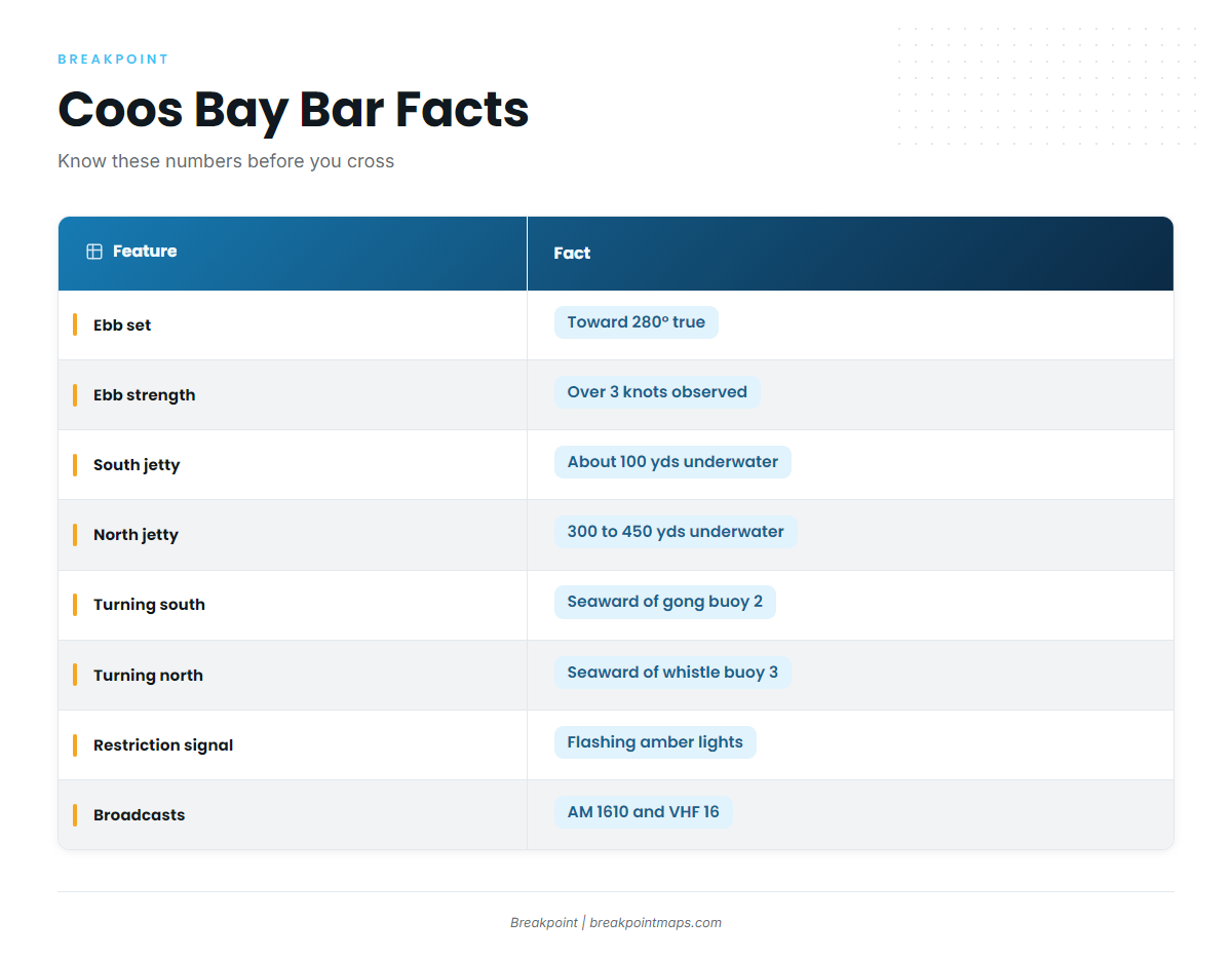
- Ebb set: The ebb sets toward 280° true. The greatest observed strength is a little over 3 knots, with 5 knots reported at Guano Rock on long runouts.
- Submerged jetty ends: The jetties extend underwater about 100 yards beyond the visible tip of the south jetty, and roughly 300 to 450 yards beyond the north jetty. Breakers are reported over these areas most of the time.
- Turning south: Pass seaward of south jetty gong buoy 2 before turning south.
- Turning north: Pass seaward of north jetty whistle buoy 3 before turning north.
- Restriction signals: Flashing amber lights mean a restriction is in effect. They appear on the bar warning sign at the Charleston Boat Basin breakwater and on the blue signs at the Charleston and Empire ramps. Details are broadcast on AM 1610 and VHF 16.
The Coast Guard can restrict recreational and uninspected passenger vessels from crossing the bar under 33 CFR 165.1325. The Coast Guard bar crossing handout explains the signals and notes a maximum civil penalty of $25,000 for ignoring a posted restriction. Unlit lights do not guarantee favorable seas. The Port of Coos Bay bar information page is the port’s own source for bar, fishing and weather conditions.
Coos Bay has one ocean entrance. The nearest other bars belong to separate ports: the Umpqua at Winchester Bay to the north and the Coquille at Bandon to the south. The practical alternative is the bay itself, where the bay and South Slough hold crabbing and protected water when the bar is not an option.
Check the water and the NOAA bar observations on arrival. If the bar looks bigger than you want, fish the bay or wait.
Fishing conditions
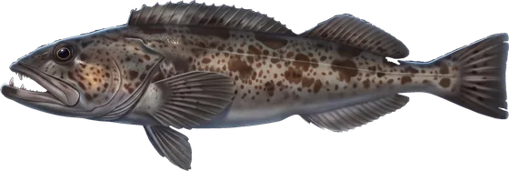
Cape Arago and its offshore reefs are the main hard-bottom structure for lingcod, black rockfish and other rockfish, and halibut. Our lingcod fishing guide covers the species. The jetties and bay-mouth water add structure close to the entrance. Simpson Reef and Coquille Bank are the other named grounds.
Every vessel fishing for or holding bottomfish or halibut must carry a working descending device. Check ODFW bottomfish seasons before fishing. An Ocean Endorsement is needed in addition to a license to keep marine finfish such as rockfish, lingcod, halibut or tuna.
| Season | Species |
|---|---|
| Winter | Rockfish, Dungeness crab, surfperch |
| Spring | Salmon, surfperch, Pacific halibut |
| Summer | Albacore, Pacific halibut |
| Autumn | Salmon |
Winter
Rockfish, Dungeness crab and surfperch fill the winter. Crab ties bay trips and ocean trips together, so the same boat can work both. Winter winds tend to come from the south. Check the forecast for wind, wave height and period before you commit.
Spring
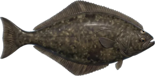
Salmon, surfperch and Pacific halibut come into play. Chinook and coho seasons are set each year, so check ODFW ocean salmon rules before fishing. Our Pacific halibut fishing guide covers the fish. Charleston falls in the Central Oregon Coast subarea, and halibut rules follow the port where the fish is landed. The ODFW Pacific halibut regulations hold the season structure and quota, which change each year. Winds can shift between the winter south pattern and the summer north pattern, so check the forecast each day.
Summer
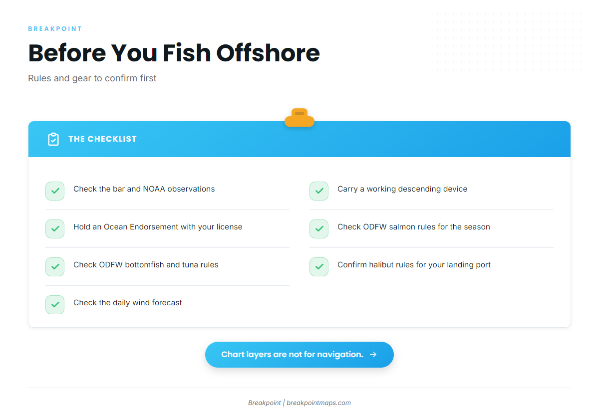
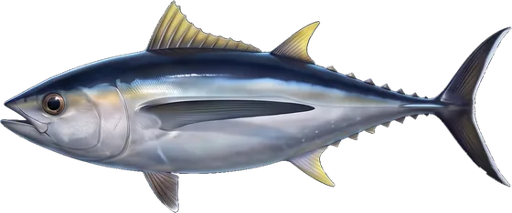
Albacore is the offshore target out of Charleston when warm water moves in. Our albacore tuna fishing guide covers the fish. OBS SST and Chlorophyll in Breakpoint show where the warm, clean water sits offshore, so you can pick a heading before you leave the dock. Chart layers in our app are not for navigation. Find your port in the Breakpoint state and port guides and open the map the night before.
Halibut continues through summer under the same ODFW rules. Check ODFW marine zone rules for tuna, and carry your Ocean Endorsement when you keep one. North winds tend to be heavier in summer, and mornings tend to fish before the afternoon northwesterly builds.
Autumn
Salmon fishing returns. Seasons are set each year, so check ODFW before you go. Warm water can hold albacore in the Pacific Northwest offshore late in the year. The wind pattern can swing back toward the south, so check the forecast before each trip.