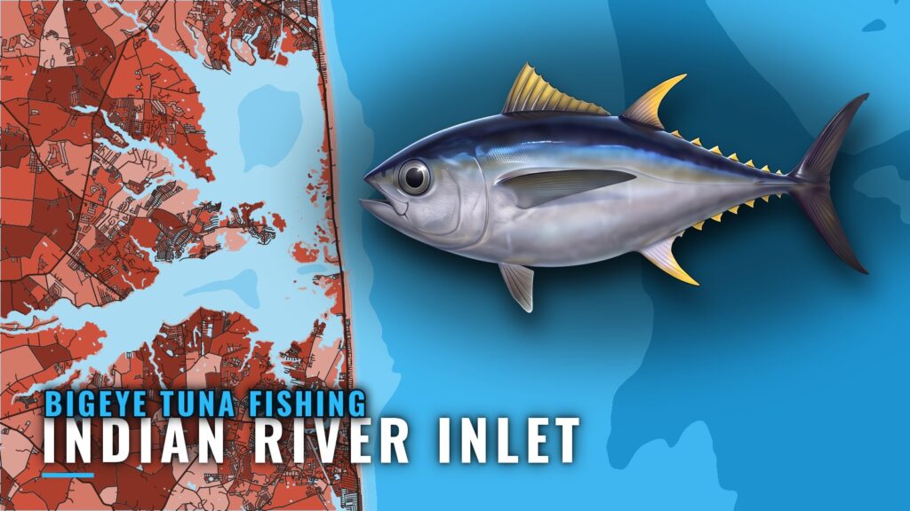
Bigeye tuna are documented from Indian River Inlet in thin reports, mostly from the inlet’s marina in early summer. They name canyons and a lump offshore but give no depth for bigeye. Treat this as a starting point rather than a pattern. The Indian River Inlet port guide covers the inlet and the marina, and the sections below say what is and is not documented. For the wider coast, see the bigeye tuna fishing in the Atlantic Northeast and the Atlantic Northeast offshore fishing guide.
When bigeye are around Indian River Inlet
The documented window is June and July. The marina’s fishing reports say that tuna headed for cooler, deeper water in those months. The evidence is a handful of reports rather than a schedule, and the reports name bigeye alongside yellowfin rather than on their own. Regionally, the canyon bite runs from summer into fall and is driven by warm blue water over the edge rather than by the date.
Where boats run from Indian River Inlet
The inlet opens the barrier beach just south of Delaware Bay, and the marina sits on its north side. The marina’s reports name Baltimore Canyon and Poor Man’s Canyon as offshore tuna water, and a feature called 19 Fathom Lump, about 114 feet deep, appears in the same reports. No distance from the inlet is documented for any of them. The channel is the harder part of the run. Buoys between the inlet and Buoy 20 are uncharted, they are moved often, and the channel shifts with severe shoaling, so a recent local report helps before you go. The current in the inlet is about 2 knots, and the buoys can tow under. A fixed highway bridge has 45 feet of clearance, so tuna towers and tall outriggers need checking against that figure. Delaware Bay to the north and Ocean City Inlet to the south are the nearest alternatives, each a long run. Check conditions yourself, and read the forecast for the offshore zones.
Grounds and structure
The documented grounds are canyons. Baltimore Canyon, Poor Man’s Canyon and the 19 Fathom Lump are named in the marina’s reports, with no distance from the inlet given for any of them. The lump’s depth is a conversion from fathoms, and no depth for bigeye is given on any of these grounds.
How bigeye are fished out of Indian River Inlet
The documented methods are spreader bars with ballyhoo and a pink Daisy chain trolled in the canyons, and deep dropping with squid. The reports do not always say which species came on which method. The general approach for bigeye is night trolling and chunking along canyon edges, with spreader bars and squid patterns at dawn and dusk. Bigeye sit deep by day and rise at low light, so the low-light windows are when a spread or drifted bait is most likely to reach them.
Who fishes bigeye from Indian River Inlet
The documented operator is the Indian River Marina charter fleet, which appears in the marina’s reports. Individual boats in the fleet do not have their own websites documented. Ask the marina which boats run canyon trips and whether they target bigeye specifically before you book. No tournament is documented.
Frequently asked questions
Is bigeye tuna documented at Indian River Inlet?
Thinly. The reports name bigeye alongside yellowfin in early summer, and no depth is given for bigeye on any ground.
How far offshore are the canyons?
No distance is documented for the canyons the reports name. Check the water and the forecast before you commit to a run, and plan the return with the inlet in mind.
Where do I check the edge before a run?
Check OBS SST for the warm, blue edge, Chlorophyll for the color boundary, and Chart Contours for the canyon walls. Chart layers are not for navigation.