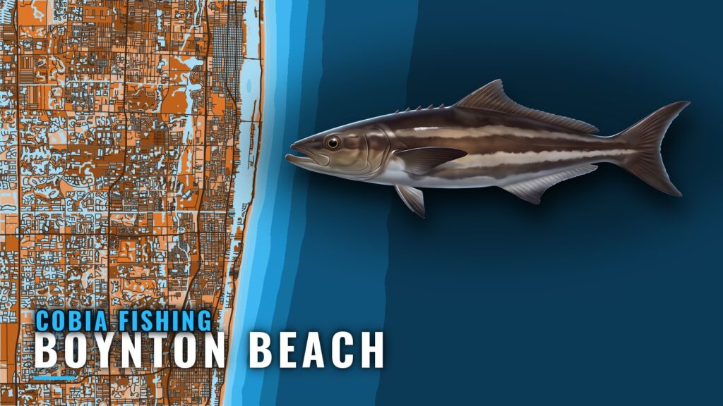
Cobia fishing out of Boynton Beach centers on offshore wrecks and reef lines reached through Boynton Inlet. Boats leaving Boynton Beach work structure that runs from a 15 ft reef out to wrecks in 95 to 110 ft of water. Locals either troll the reef line or reef fish the structure.
This page covers which months cobia are listed offshore, which grounds and depths to run to, how locals fish them, and who runs charters for them.
When cobia are off Boynton Beach
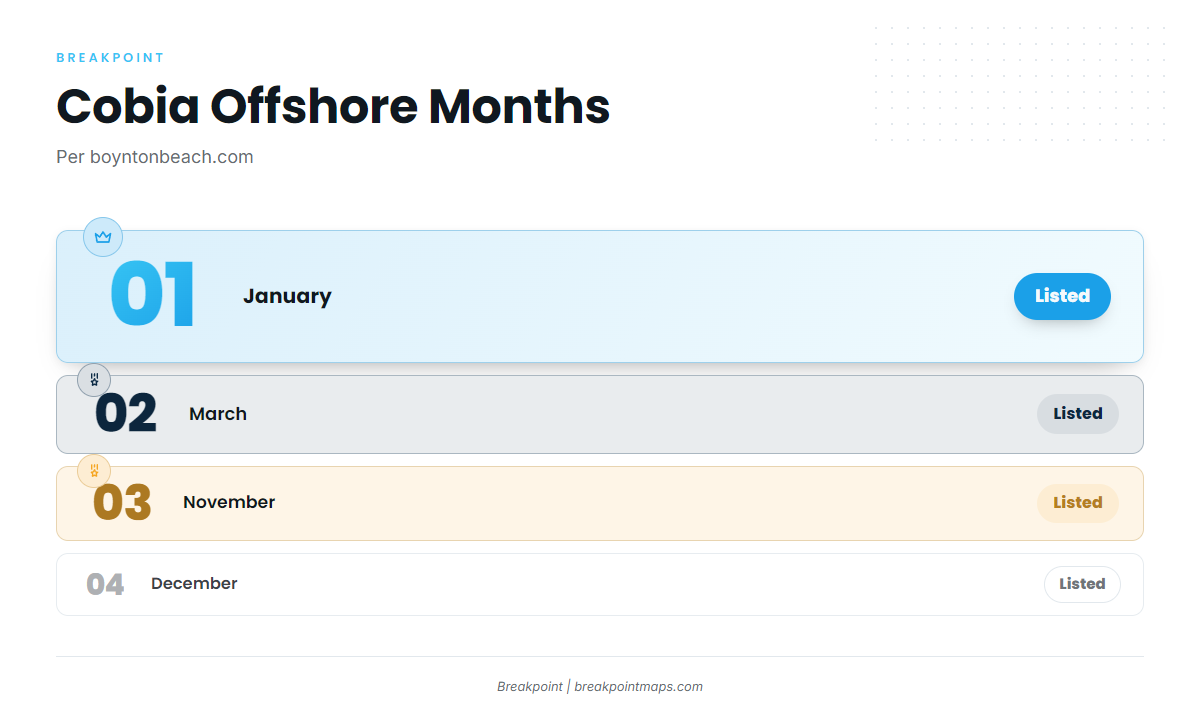
boyntonbeach.com lists cobia offshore in January, March, November and December, so those are the four months to plan around.
For background on the species, start with the cobia guide. For how the fish move along the coast, see the Atlantic Southeast run (see also the Atlantic Southeast offshore fishing guide).
| Month | Cobia listed offshore |
|---|---|
| January | Yes |
| March | Yes |
| November | Yes |
| December | Yes |
Where boats run from Boynton Inlet
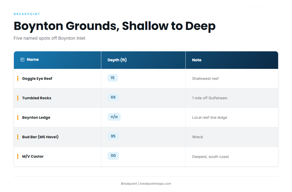
Boats out of the inlet work the wrecks and reef lines off Boynton. The grounds below are listed from shallowest to deepest.
Check the official NWS coastal waters forecast before running the inlet, and decide based on the wind, wave height and period for your day.
Goggle Eye Reef
Goggle Eye Reef sits in 15 ft, the shallowest named reef on this list.
Tumbled Rocks
Tumbled Rocks lies in 69 ft, about 1 mile off Gulfstream and close to Boynton Inlet. Gulfstream here is the town, not the current.
Boynton Ledge
Boynton Ledge is ledge structure on the local reef line.
Bud Bar (MS Havel)
Bud Bar lies in 95 ft at 26°28.70’N, 80°02.31’W.
M/V Castor
The M/V Castor lies in 110 ft off the southern coast of Boynton Beach. It is the deepest structure on this list.
| Name | Depth (ft) | Note |
|---|---|---|
| Goggle Eye Reef | 15 | Shallowest named reef |
| Tumbled Rocks | 69 | About 1 mile off Gulfstream, close to Boynton Inlet |
| Boynton Ledge | n/a | Ledge on the reef line |
| Bud Bar (MS Havel) | 95 | 26°28.70’N, 80°02.31’W |
| M/V Castor | 110 | Off the southern coast of Boynton Beach |
Published coordinates and chart data are not for navigation.
How cobia are fished here
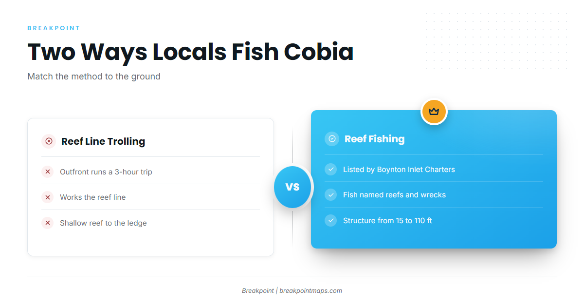
Two methods show up locally, and each corresponds to grounds listed above. The same reef line also holds other coastal and offshore gamefish.
- Trolling the reef line: covers the line between the shallow reef and the ledge.
- Reef fishing: works the named reefs and wrecks.
Trolling the reef line
Outfront Charters runs a 3-hour trip that trolls the reef line. Trolling covers more water than anchoring on a single wreck.
Reef fishing
Boynton Inlet Fishing Charters lists reef fishing, meaning fishing over the named reefs and wrecks rather than running a line.
Who fishes cobia out of Boynton
These charters list cobia fishing out of Boynton Beach. Harvey E. Oyer Jr. Park is the departure point for the charters noted below.
Boynton Inlet Fishing Charters
This is a new charter, family and Navy veteran owned. It departs Harvey E. Oyer Jr. Park and lists reef fishing.
Just Right Florida Charters
Just Right runs a 36 ft Contender. Capt. Brad is named in the site’s reviews. Trips launch from Harvey E. Oyer Jr. Park.
Frigate About It Charters
Capt. James Berger runs the Patti B, a 36 ft Hatteras sport fishing yacht.
Outfront Charters
Capt. Dan has 27+ years fishing Lantana, Palm Beach and Boynton. He runs a 35 ft Contender and offers a 3-hour reef line troll.
Miller Time Fishing Charters
Captain Carl Miller has fished Boynton since 1983.
FAQ about cobia fishing out of Boynton Beach
Which months are cobia offshore from Boynton Beach?
January, March, November and December, per boyntonbeach.com.
How deep is the M/V Castor?
It lies in 110 ft off the southern coast of Boynton Beach and is the deepest structure on this list.
What are the coordinates for Bud Bar (MS Havel)?
The coordinates are 26°28.70’N, 80°02.31’W, in 95 ft. Published coordinates and chart data are not for navigation.
How close to the inlet is Tumbled Rocks?
It lies about 1 mile off the town of Gulfstream, close to Boynton Inlet, in 69 ft.
Where do Boynton cobia charters launch?
Boynton Inlet Fishing Charters and Just Right Florida Charters depart from Harvey E. Oyer Jr. Park.