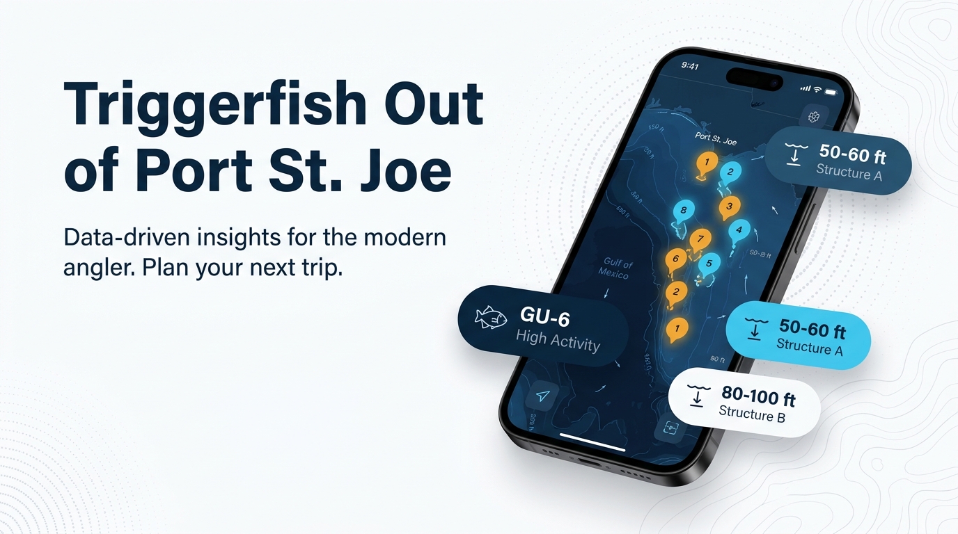
Gray triggerfish fishing out of Port St. Joe centers on winter, in 50 to 60 ft and 80 to 100 ft, with cut mackerel on numbered Gulf County artificial reefs. Empire Mica (GU-6) and the Twin Ridges sites anchor the deeper end of the list. For ramps, the pass and conditions, use the Port St. Joe port guide. The wider picture is in the gray triggerfish fishing in the Gulf of Mexico and the Gulf of Mexico region guide.
When triggerfish are here
Winter is the local triggerfish season, according to the Visit Florida Beaches fishing guide. The season tells you when to look; it doesn’t promise fish.
Where boats run and the grounds that hold them
Boats run 50 to 60 ft and 80 to 100 ft off Port St. Joe. Those two bands set your starting depth and your fuel plan.
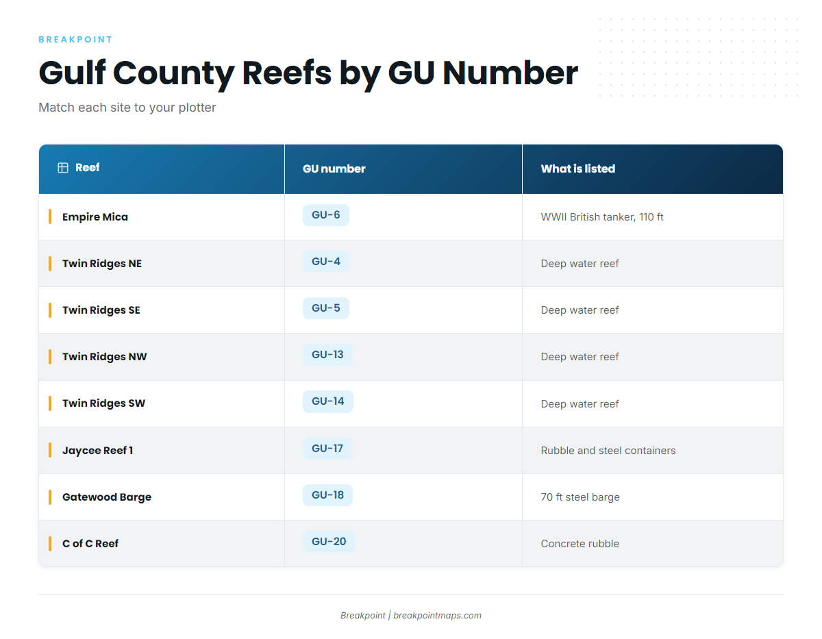
Gulf County’s artificial reefs are identified by GU numbers, and the Gulf County reef site list carries them. Every reef below is listed with its number so you can match it to your plotter.
Reef coordinates mark where material was deployed, so check the structure on your sounder before you anchor. Breakpoint chart layers show the GU sites for planning and are not for navigation.
| Reef | GU number | What is listed |
|---|---|---|
| Empire Mica | GU-6 | WWII British tanker, 110 ft, 21 miles due south of Cape San Blas |
| Twin Ridges NE | GU-4 | Northeast Gulf deep water reef |
| Twin Ridges SE | GU-5 | Northeast Gulf deep water reef |
| Twin Ridges NW | GU-13 | Northeast Gulf deep water reef |
| Twin Ridges SW | GU-14 | Northeast Gulf deep water reef |
| Jaycee Reef 1 | GU-17 | Concrete rubble and steel containers |
| Gatewood Barge | GU-18 | 70 ft steel barge |
| C of C Reef | GU-20 | Concrete rubble and prefabricated concrete |
| Virginia Reef 1 | GU-22 | Boat hull, metal crates and concrete rubble |
| Pompano Point | GU-15 | |
| LST Port St Joe | GU-21 |
The deep wreck
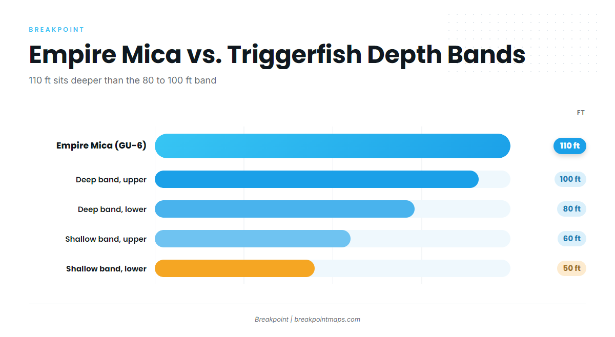
Empire Mica (GU-6) is a WWII British tanker in 110 ft, 21 miles due south of Cape San Blas. That is deeper than the 80 to 100 ft band, so plan it as its own trip.
A 21-mile run depends on the forecast. Read wind, wave height and period on the NWS Tallahassee marine forecast before you commit.
Deep-water reefs
Twin Ridges NE, SE, NW and SW (GU-4, GU-5, GU-13 and GU-14) are listed as northeast Gulf deep water reefs.
Built reefs and barges
- Jaycee Reef 1 (GU-17): concrete rubble and steel containers.
- C of C Reef (GU-20): concrete rubble and prefabricated concrete.
- Gatewood Barge (GU-18): a 70 ft steel barge.
- Virginia Reef 1 (GU-22): boat hull, metal crates and concrete rubble.
Other named sites
Pompano Point (GU-15) and LST Port St Joe (GU-21) complete the named list.
Amberjack and other reef fish share much of this structure. The reef fish guides cover them.
How triggerfish are fished out of Port St. Joe
Local anglers keep it simple: cut mackerel on the bottom, with triggers often turning up on amberjack trips.
Cut mackerel on the bottom
Cut mackerel is the local bait. For rigs, hooks and biology, use the gray triggerfish guide.
Triggers on amberjack jigging trips
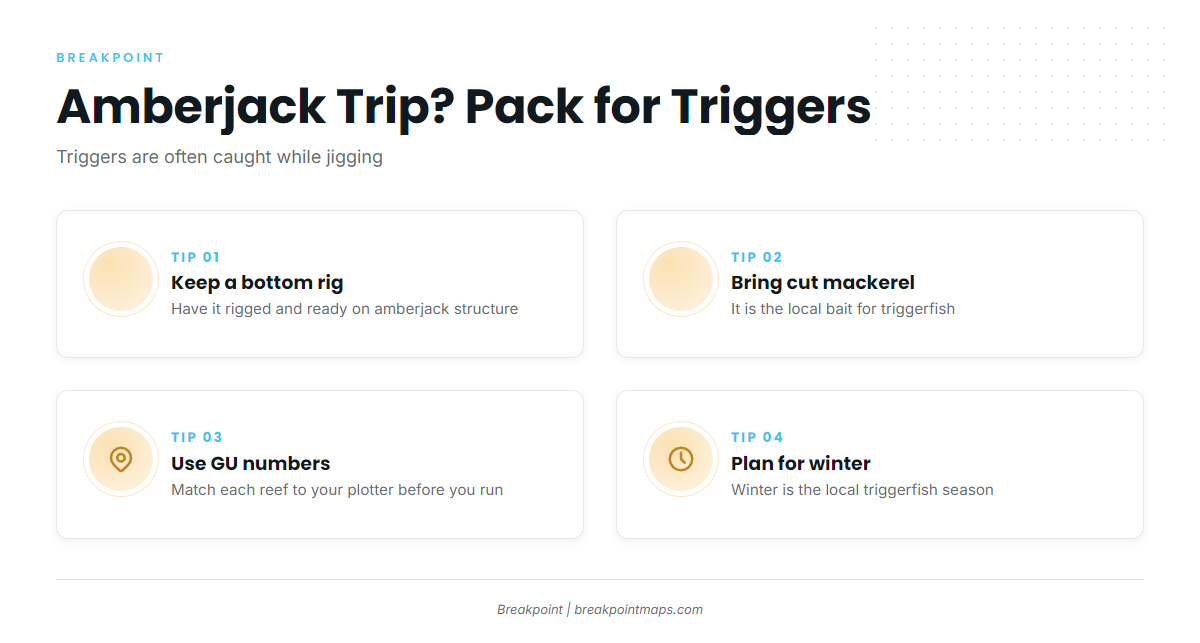
Triggers are often caught while jigging for amberjack. On amberjack structure, keep a bottom rig and cut mackerel aboard so you can fish for a trigger when one bites.
Who fishes for them from this port
Chasin’ Dreams Charters lists gray triggerfish, and Captain Jason Williams is the owner and operator. Find the trip details on the Chasin’ Dreams Charters booking listing.
FAQ: gray triggerfish out of Port St. Joe
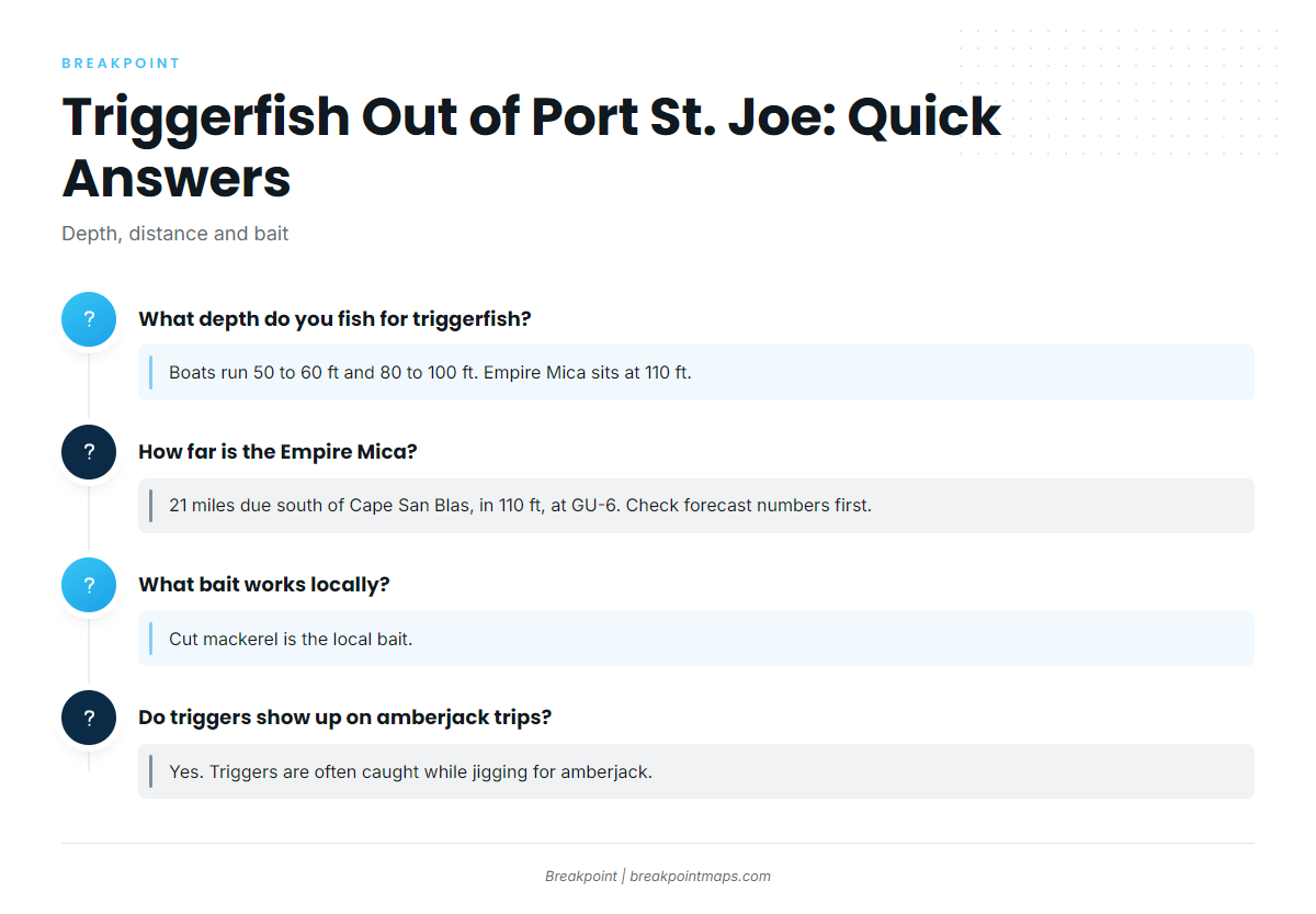
What depth do you fish for triggerfish off Port St. Joe?
Boats run 50 to 60 ft and 80 to 100 ft. Empire Mica sits deeper, at 110 ft.
How far is the Empire Mica?
Empire Mica (GU-6) lies 21 miles due south of Cape San Blas, in 110 ft. Check wind, wave height and period on the marine forecast before the run.
What bait works locally?
Cut mackerel is the local bait. It gives you a reason to fish a reef but doesn’t guarantee a bite.
Do triggers show up on amberjack trips?
Yes. Triggers are often caught while jigging for amberjack. Keep a bottom rig and cut mackerel aboard when you fish amberjack structure.
Where do I check tides?
NOAA tide station 8728912, named for Port Saint Joe, is the tide reference for trip planning.