When greater amberjack are around Edisto Beach
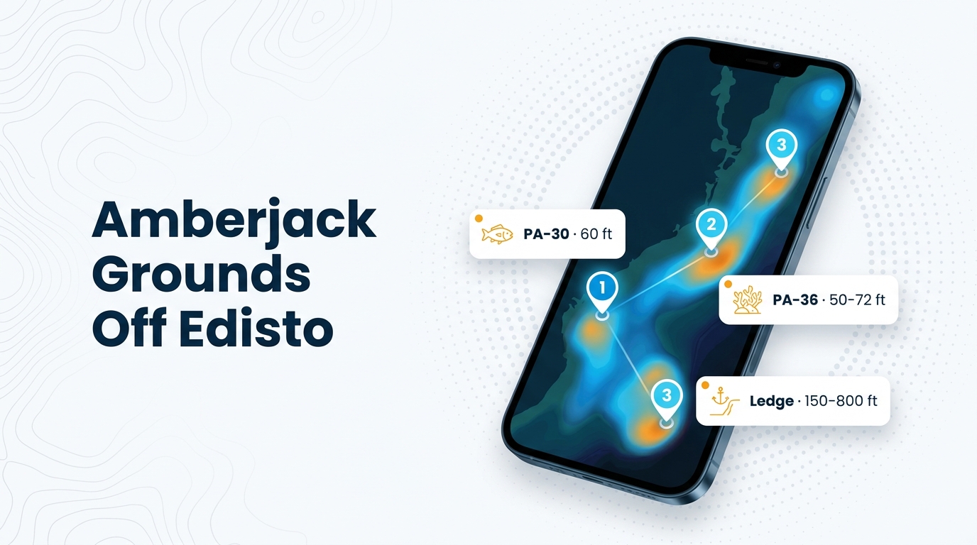
Greater amberjack fishing out of Edisto Beach centers on offshore structure. The description for Edisto Offshore Reef (PA-36) lists amberjack, and charter listings show them on 6-hour to 10-hour trips. The sources name the fish as amberjack only. The wider picture is in the greater amberjack fishing in the Atlantic Southeast and the Atlantic Southeast region guide.
For biology, behavior and general tactics, see the greater amberjack species guide.
Where boats run from Edisto Beach
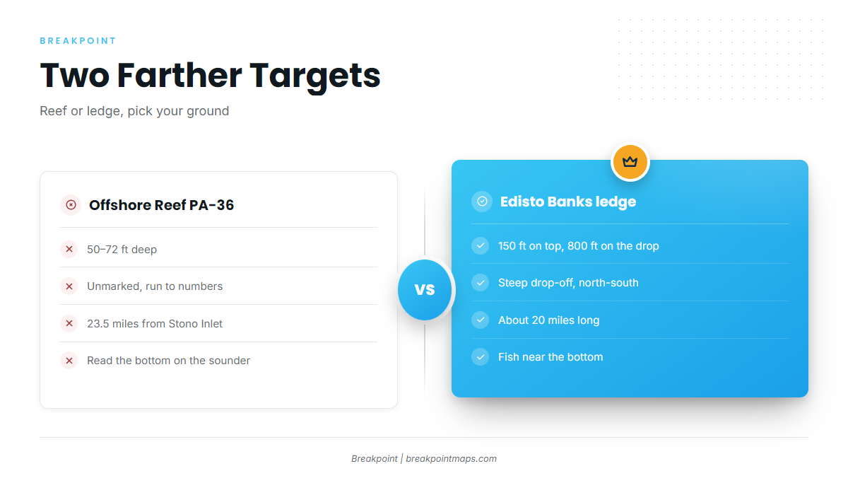
Boats run to two grounds for amberjack: near the bottom around the ledge, and Edisto Offshore Reef (PA-36) in 50-72 ft. Both are among the farther targets on the list of named grounds below.
Edisto Offshore Reef (PA-36)
PA-36 lies in 50-72 ft and is unmarked, so you run to numbers and read the bottom on the sounder. It sits 23.5 miles from Stono Inlet, not from Edisto Beach, so work out your own run from wherever you leave the dock.
Edisto Banks, the ledge
The ledge is a steep drop-off running north-south for about 20 miles, from 150 ft on top to 800 ft on the drop. Amberjack are reported near the bottom around it.
Reading conditions at Buoy 41004
NDBC Station 41004 EDISTO sits 41 NM southeast of Charleston, SC, at 32.502N, 79.099W, in 35 m of water.
The buoy reports offshore conditions, which differ from what you’ll find at the bar. Use its wind, wave height and period as one input, and read them alongside the NWS Charleston marine forecast, the official forecast for these waters.
Grounds and structure that hold amberjack
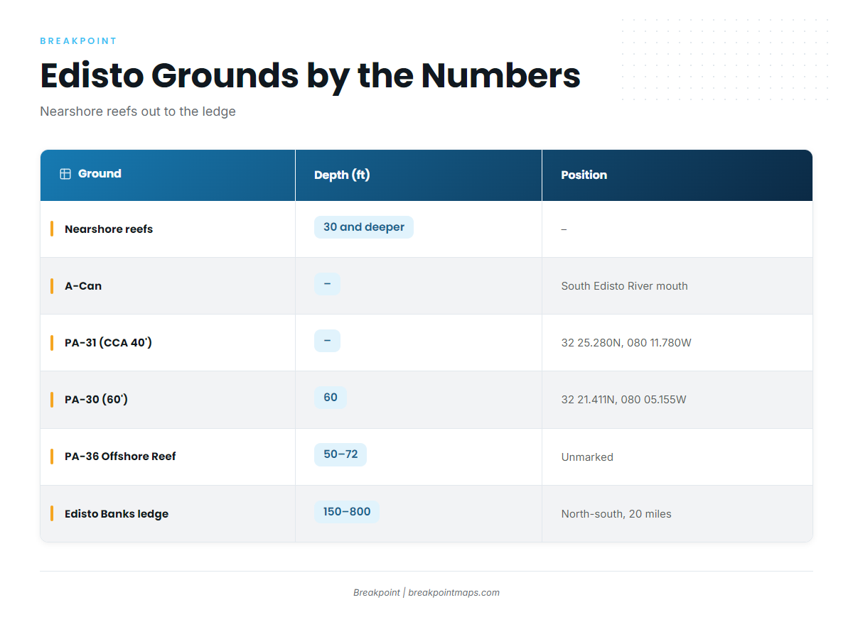
The grounds run from the nearshore reefs out to the ledge. The PA designations come from the South Carolina Lowcountry artificial reefs listing, which also carries the PA-30 and PA-31 reef buoy coordinates.
| Ground | Depth (ft) | Marking/position | Note |
|---|---|---|---|
| Nearshore reefs | about 30 and deeper | – | – |
| A-Can | – | Off the South Edisto River mouth | – |
| CCA-Edisto 40′ Reef (PA-31) | – | Reef buoy 32 25.280N, 080 11.780W | – |
| Edisto 60′ Reef (PA-30) | 60 | Reef buoy 32 21.411N, 080 05.155W | – |
| Edisto Offshore Reef (PA-36) | 50-72 | Unmarked | 23.5 miles from Stono Inlet. Description lists amberjack |
| Edisto Banks (the ledge) | 150 on top to 800 on the drop | – | Runs north-south for about 20 miles. Amberjack reported near the bottom |
Plot the PA-30 and PA-31 reef buoy coordinates as waypoints and view the ledge on Chart Contours. Chart layers are not for navigation.
Nearshore reefs
The nearshore reefs lie in about 30 ft and deeper. They are the closest structure to the port and the shortest run on the list.
A-Can off the South Edisto River mouth
The A-Can is a local landmark off the South Edisto River mouth. Use it as a reference point when planning a run out of the river.
CCA-Edisto 40′ Reef (PA-31)
PA-31 is marked by a reef buoy at 32 25.280N, 080 11.780W. Plot that position and run to it.
Edisto 60′ Reef (PA-30)
PA-30 sits in 60 ft with its reef buoy at 32 21.411N, 080 05.155W. Because it is marked, you can confirm the position on arrival.
Edisto Offshore Reef (PA-36)
PA-36 lies in 50-72 ft and is unmarked, and its description lists amberjack. PA-30 and PA-31 have buoys; PA-36 does not, so you find it by numbers and the sounder.
Edisto Banks (the ledge)
The ledge drops from 150 ft on top to 800 ft. Look near the bottom around it, and use the depth change on your sounder to hold the right line along its 20-mile run.
How amberjack are fished here
The local method is bottom fishing on structure. The reefs and the ledge are the structure, and the bottom is where the fish are reported. For the wider reef fish picture, see the reef fish guides.
Who fishes for greater amberjack out of Edisto Beach
Second Wind Charters
The Second Wind Charters listing lists greater amberjack. Captain Kevin Latham runs a 26′ Sea Hunt 265 Ultra center console that takes up to 6 anglers.
A captain-run trip is one way to learn the grounds before you run your own boat to them.
FAQ
Where do greater amberjack hold off Edisto Beach?
For greater amberjack fishing out of Edisto Beach, look near the bottom around the Edisto Banks ledge and on Edisto Offshore Reef (PA-36) in 50-72 ft. The local method is bottom fishing on structure.
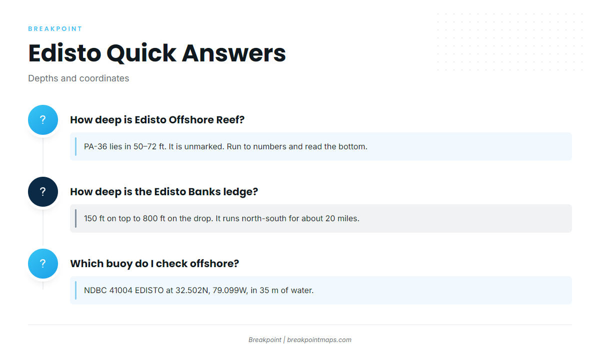
How deep is Edisto Offshore Reef?
PA-36 lies in 50-72 ft. It is unmarked and 23.5 miles from Stono Inlet, so you run to numbers and read the bottom on the sounder.
What are the PA-30 and PA-31 reef buoy coordinates?
PA-30 is in 60 ft with its reef buoy at 32 21.411N, 080 05.155W. The PA-31 reef buoy is at 32 25.280N, 080 11.780W. Both are marked with reef buoys. No depth is given for PA-31.
How deep is the Edisto Banks ledge?
The ledge runs 150 ft on top to 800 ft on the drop. It is a steep drop-off running north-south for about 20 miles, and amberjack are reported near the bottom around it.
Which buoy do I check before running offshore from Edisto?
NDBC Station 41004 EDISTO sits 41 NM southeast of Charleston at 32.502N, 79.099W, in 35 m of water. It reports offshore conditions, not conditions at the bar. Read its wind, wave height and period alongside the NWS Charleston marine forecast.