Greater amberjack fishing out of Port St. Joe is a summer trip to deep structure, with fish holding over hard bottom at roughly 110 to 150 ft. The run is measured from Cape San Blas, and the named Gulf County artificial reefs are listed below by GU number with the structure you should expect to see on the sounder. If you’re starting from the bay, the Port St. Joe port guide covers the entrance and where to read conditions. For the wider coast, see the greater amberjack fishing in the Gulf of Mexico and the wider Gulf of Mexico guide.
When greater amberjack are around Port St. Joe
Visit Florida Beaches lists amberjack among the summer targets for this area, so plan the trip for summer and use the grounds below to choose where to look. The greater amberjack guide covers biology and the wider seasonal picture.
| Window | What the sources list |
|---|---|
| Summer | Amberjack among the listed targets (Visit Florida Beaches) |
Where boats run and how far
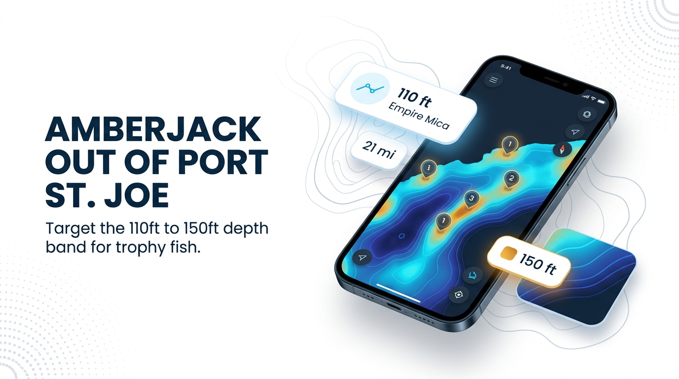
The structure worth fishing sits between about 110 ft and 150 ft. Plan fuel for a 21-mile run each way, plus time on the structure.
The 110 ft wreck
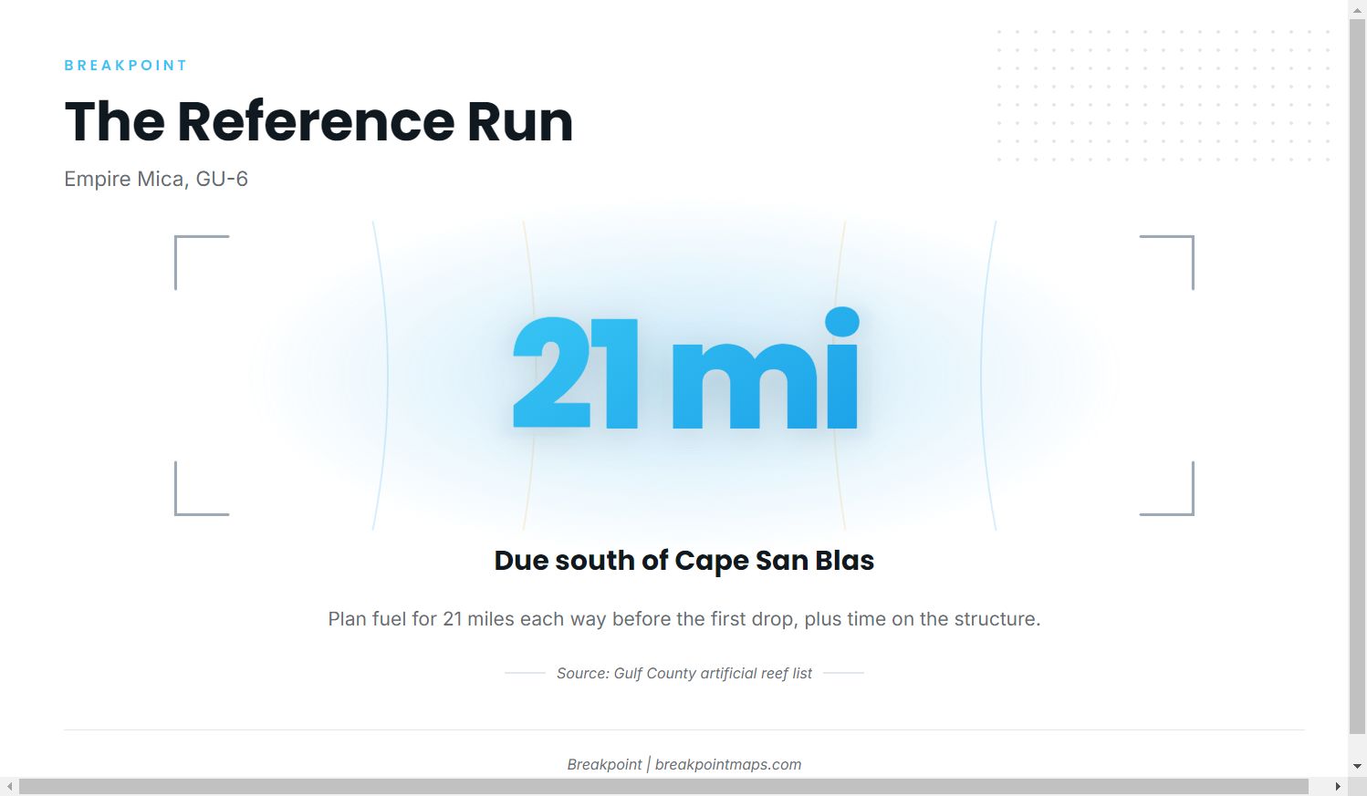
Empire Mica (GU-6), a WWII British tanker, lies in 110 ft of water, 21 miles due south of Cape San Blas. It works as the reference run: if 21 miles each way fits inside your boat’s range with a reserve, the 110 ft wreck is within reach.
The 150 ft band
Reports note good numbers of fish for boats that can reach about 150 ft of water. Treat that depth as a step beyond the 110 ft wreck, with range deciding whether you go. The Chart Contours layer is the one to use for reading the 110 to 150 ft band. Chart layers are not for navigation.
Reading tide for the run (station 8728912)
NOAA tide station 8728912 (Port Saint Joe) is the reference for timing the run through the bay entrance, both outbound and on the return. Check the station and the official NWS marine forecast before every run, and use the wind, wave height and period numbers to make your own call.
Plan the run in this order:
- Pick the structure from the table below.
- Work out the round-trip distance from Cape San Blas.
- Add working time on the structure and a fuel reserve.
- Check the tide station and the forecast numbers before you leave the dock.
Grounds and structure off Port St. Joe
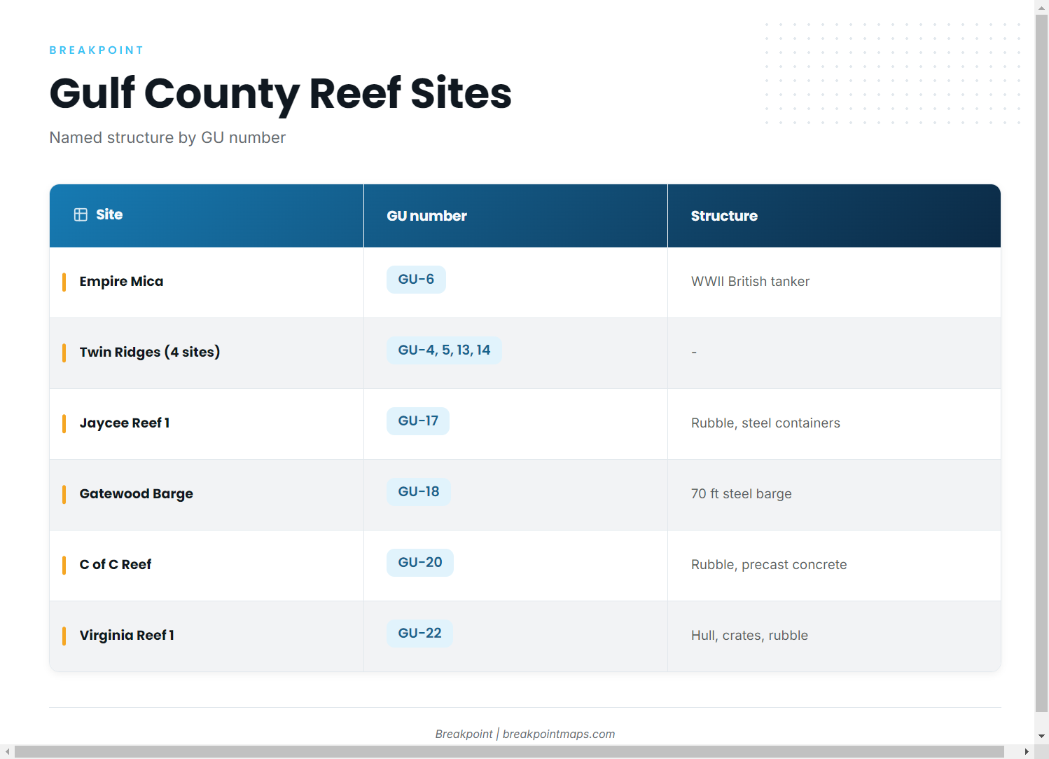
The GU designations mark these as permitted Gulf County artificial reef sites. The Gulf County artificial reef list carries the full set, and the reef fish guides cover the wider regional picture.
| Site | GU number | Structure | Depth/location as given |
|---|---|---|---|
| Empire Mica | GU-6 | WWII British tanker | 110 ft, 21 miles due south of Cape San Blas |
| Twin Ridges NE, SE, NW, SW | GU-4, GU-5, GU-13, GU-14 | – | Northeast Gulf deep water reefs |
| Pompano Point | GU-15 | – | – |
| Jaycee Reef 1 | GU-17 | Concrete rubble and steel containers | – |
| Gatewood Barge | GU-18 | 70 ft steel barge | – |
| C of C Reef | GU-20 | Concrete rubble and prefabricated concrete | – |
| LST Port St Joe | GU-21 | – | – |
| Virginia Reef 1 | GU-22 | Boat hull, metal crates and concrete rubble | – |
Empire Mica
GU-6 is a WWII tanker hull in 110 ft, 21 miles due south of Cape San Blas. It shows up on the sounder as a large hull.
Twin Ridges
Twin Ridges is four sites: NE (GU-4), SE (GU-5), NW (GU-13) and SW (GU-14). They are listed as northeast Gulf deep water reefs, and they are the deeper option alongside the 150 ft band.
Barges, hulls and rubble reefs
These sites read as discrete structure:
- Gatewood Barge (GU-18): a 70 ft steel barge.
- Virginia Reef 1 (GU-22): a boat hull with metal crates and concrete rubble.
- Jaycee Reef 1 (GU-17): concrete rubble with steel containers.
- C of C Reef (GU-20): concrete rubble and prefabricated concrete.
Pompano Point (GU-15) and LST Port St Joe (GU-21) are also on the list.
How it is fished and who fishes it
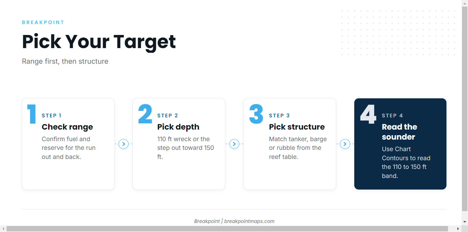
Local fishing centers on hard structure in the 110 to 150 ft band, and the choice of site depends on range and bottom type.
Fishing the structure
Choose the target by range first, then by structure type from the table. A hull or tanker gives a different sounder return than rubble and containers, so match the site to your boat’s range and your read of the bottom.
Lady J Charters
Lady J Charters is a local operator that lists greater amberjack. The boat is the Lady J III, 36 ft, per the Gulf County TDC listing. It is the option if your boat can’t make a 21-mile run.
FAQ about greater amberjack out of Port St. Joe
When are amberjack a target out of Port St. Joe?
Summer. Visit Florida Beaches lists amberjack among the summer targets for the area.
How far is the run to amberjack structure?
It is 21 miles due south of Cape San Blas to Empire Mica (GU-6) in 110 ft. Deeper water toward 150 ft is a longer run that depends on your boat’s range.
What depth holds amberjack off Port St. Joe?
About 110 to 150 ft. Reports note good numbers of fish for boats that can reach about 150 ft of water.
What structure do boats fish?
Eight named Gulf County artificial reef sites with GU numbers. They include the Empire Mica tanker, the four Twin Ridges sites, the 70 ft Gatewood Barge, and rubble, container and hull reefs.
Is there a local amberjack charter?
Yes. The 36 ft Lady J III, run by Lady J Charters, lists greater amberjack per the Gulf County TDC listing.