King mackerel fishing out of Carolina Beach is a seasonal, migratory fishery, and full-day offshore trips from this port run 30 miles. That distance sets your fuel, your reserve and your daylight before anything else does, so plan the run first and the fishing second.
This page is for anglers running their own boat from Carolina Beach. It covers when to watch for fish, how far boats run, what holds kings, how they are fished and by whom, what the nearest buoy shows, and where the rules live. Boats reach open water through Carolina Beach Inlet or by way of Snows Cut, into Onslow Bay. The page should help you decide where to look and when to go. It can’t promise fish.
When king mackerel are off Carolina Beach
Kings are migratory. They move along this coast with the seasons and with water temperature, so their presence off the port changes through the year. Watch the trend rather than fixing a date.
How the season works here
Water temperature at NDBC 41013, when the station lists it, is one way to follow conditions between trips. A steady change over several days tells you more than a single reading. The conditions section below covers what that buoy can and cannot tell you.
Where to read the general pattern
The regional guide (see also the Atlantic Southeast fishing guide) covers how kings move along the Southeast coast. The species guide covers water temperature triggers, baits and rigs. This page stays with the port.
How far boats run and what holds kings
Distance and structure decide where you point the bow, and both are easy to underplan.
The 30-mile full day
Full-day offshore trips from Carolina Beach run 30 miles offshore, per the Full Day description. For an owner-operator, that means 30 miles out and 30 back, plus whatever distance you cover working structure.
Size your fuel, reserve and daylight to your own boat and burn rate. A charter’s run is a benchmark. Your boat may not cover the same distance the same way.
Structure types
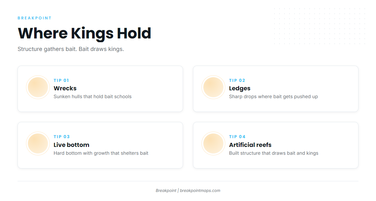
Kings relate to structure because structure gathers bait, and bait draws kings. Four types matter:
- Wrecks: hard vertical relief that holds baitfish and gives kings an ambush edge.
- Ledges: a step in the bottom where current pushes bait against the break.
- Live bottom: hard bottom with growth, which holds bait over open sand.
- Artificial reefs: built relief that stacks bait the way a natural wreck does.
Planning the run
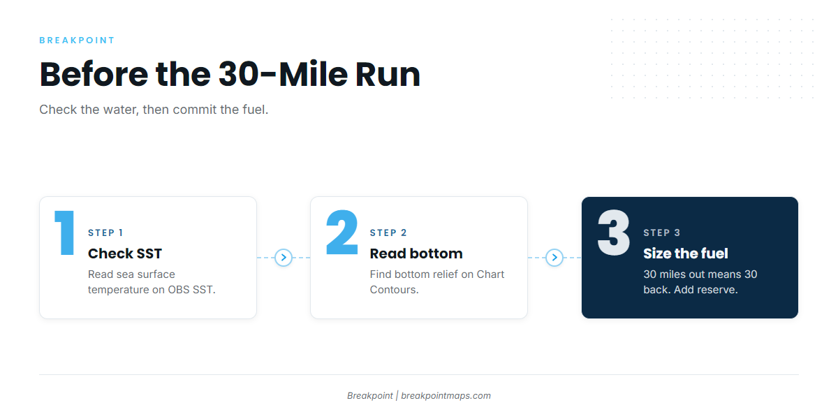
Before you commit fuel to a 30-mile run, check sea surface temperature on OBS SST and bottom relief on Chart Contours. Look for a temperature edge and for relief that could hold bait. The chart layers are not for navigation.
How kings are fished from Carolina Beach
Two approaches cover most of the fishing here, and both call for gear built to handle fish with teeth.
Trolling live bait and spoons
Local anglers slow-troll live bait around structure and bait schools, and troll spoons to cover water when searching for fish. Use a wire leader either way, since kings cut mono.
For rigs and baits, see the species guide.
Who fishes for them
Two local charters list king mackerel:
- Wet N Wild Sportfishing: the 54 ft custom "Wet N Wild" (flagship) and the 31 ft Contender "No Mercy."
- Second Sport Charters: Capt. Daniel Harris.
A charter day is a way to see the run and the methods before you take your own boat out.
Reading conditions before the run
Check the buoy and the forecast the night before and again at the dock, and read them together.
NDBC 41013 Frying Pan Shoals
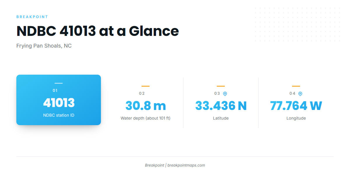
The nearest NOAA buoy is NDBC 41013 Frying Pan Shoals, NC, at 33.436 N, 77.764 W, in 30.8 m of water (about 101 ft). It reports:
- Wave height
- Dominant period
- Wind
- Water temperature, when the station lists it
What the numbers show and what they miss
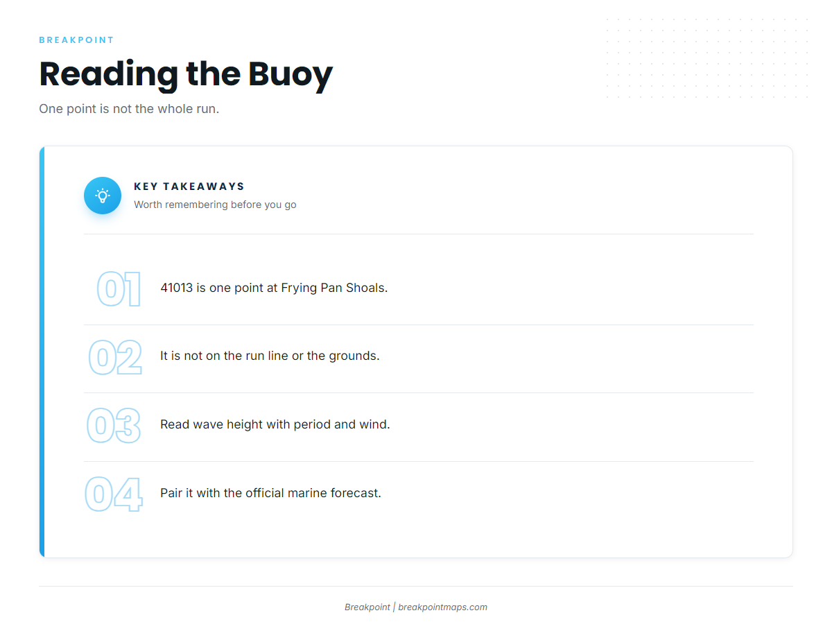
41013 is a single point at Frying Pan Shoals, south of the Cape Fear approaches. It is not on the run line, and it does not measure the water on the grounds. Use it as a spot check alongside the official NWS marine forecast, not in place of it.
Wave height alone says less than wave height paired with dominant period and wind, so read the three together.
FAQ about king mackerel fishing out of Carolina Beach
How far offshore do full-day boats run from Carolina Beach?
Full-day offshore trips run 30 miles. Plan fuel and reserve for the round trip in your own boat.
Which buoy is closest for conditions?
NDBC 41013 Frying Pan Shoals. It is a single point off the run line, so pair it with the official forecast.
Who runs king mackerel charters out of Carolina Beach?
Wet N Wild Sportfishing and Second Sport Charters, with Capt. Daniel Harris.
Where are the rules for king mackerel fishing out of Carolina Beach?
Use the NCDMF state page for state waters and the federal mackerel and cobia rules page for waters beyond 3 miles.
What else is there offshore besides kings?
The offshore gamefish guides cover the rest of the offshore fishery.