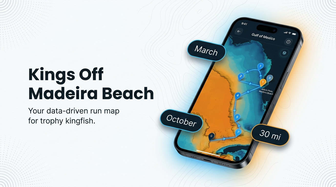
Kings run past this port on a spring migration and a fall migration, and boats target them on everything from the half day out to Hubbard’s 39-hour trip. King mackerel fishing out of Madeira Beach comes down to four questions: when, how far, where and how. This guide answers them for the owner-operator, and the king mackerel species guide covers the species basics we skip here. It includes timing, run distances, waypoints, methods, the operators who target kings and the local tournament.
When kings are around Madeira Beach
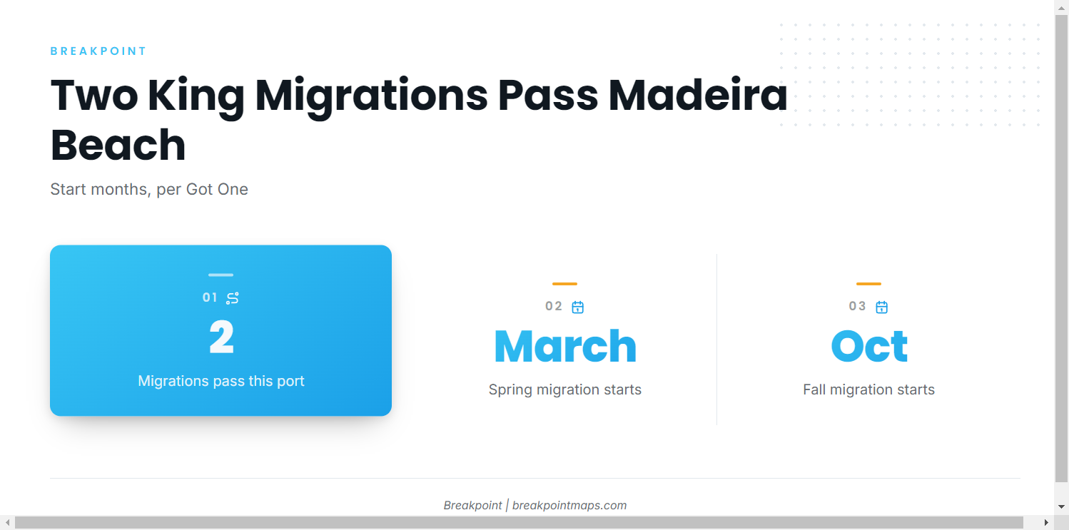
Two migrations pass this port, and each starts in a known month, according to Got One. For the regional picture, see the broader Gulf migration picture (see also the wider Gulf of Mexico guide).
| Run | Starts | Source |
|---|---|---|
| Spring migration | March | Got One |
| Fall migration | October | Got One |
Spring run (March)
The spring migration starts in March, per Got One. The Old Salt King of the Beach runs a spring event, covered below.
Fall run (October)
The fall migration starts in October, per Got One. The same tournament holds a fall event.
How far boats run from John’s Pass
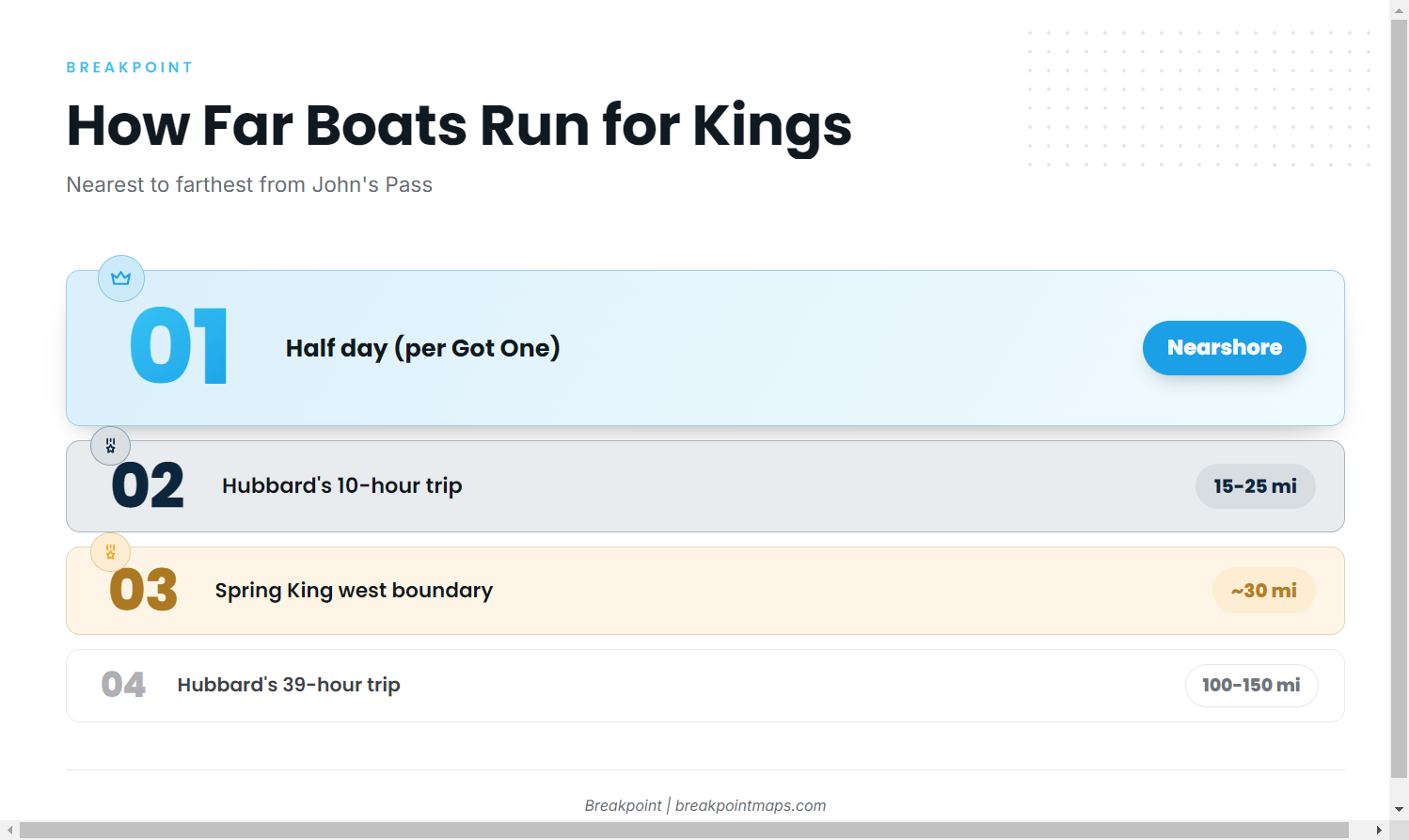
John’s Pass is the exit to the Gulf and the reference point for the tournament boundary. The Spring King west boundary sits about 30 miles west of the John’s Pass Safe Water Marker, which serves as the outer reference for nearshore and mid-range fishing.
The run tiers, nearest to farthest:
- Half day. Per Got One, kings can be targeted on any trip length, starting with the half day.
- 15 to 25 miles. Hubbard’s 10-hour trip.
- 100 to 150 miles. Hubbard’s 39-hour trip.
Half day
Got One says kings can be targeted on any trip length, including the half day. The nearshore reefs and the jetty in the next section are the places to start. No mileage is given for the half day.
15 to 25 miles
Hubbard’s 10-hour trip runs 15 to 25 miles and lists kingfish. That range sits inside the roughly 30-mile tournament boundary.
100 to 150 miles
Hubbard’s 39-hour trip runs 100 to 150 miles offshore to the Elbow and Middle Grounds and lists kingfish. That is well past the 30-mile boundary. Both grounds are covered below.
Grounds and structure that hold kings
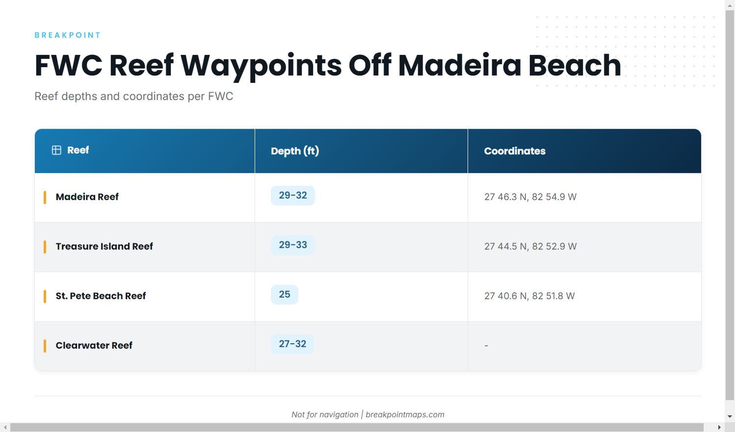
The table collects the FWC artificial reef waypoints so you can load them in one pass.
| Name | Depth (ft) | Coordinates | Structure |
|---|---|---|---|
| Madeira Reef (Madeira Beach Reef) | 29-32 | 27 46.3 N, 82 54.9 W | concrete culverts |
| Treasure Island Reef | 29-33 | 27 44.5 N, 82 52.9 W | concrete culverts |
| St. Pete Beach Reef | 25 | 27 40.6 N, 82 51.8 W | |
| Clearwater Reef | 27-32 | ||
| John’s Pass jetty and bridge | At the pass | jetty and bridge | |
| The Elbow | 120-250 (trip range) | ||
| Middle Grounds | 120-250 (trip range) |
Reef depths and coordinates are per FWC. Chart layers and coordinates are not for navigation.
Nearshore reefs
Madeira Reef and Treasure Island Reef are FWC artificial reefs of concrete culverts in roughly 29 to 33 ft, about 2 minutes of latitude apart per the FWC coordinates. St. Pete Beach Reef is the southern option at 25 ft, per FWC. Clearwater Reef lies in 27 to 32 ft. All four fit the half-day tier.
John’s Pass jetty and bridge
This is named structure at the pass itself, and it is the nearest point on this page.
The Elbow and Middle Grounds
Both grounds go with Hubbard’s 39-hour trip, 100 to 150 miles offshore. The 120 to 250 ft figure is the trip’s depth range, not a depth for either spot. Long trips like this mix kingfish with other offshore gamefish.
How kings are fished out of Madeira Beach
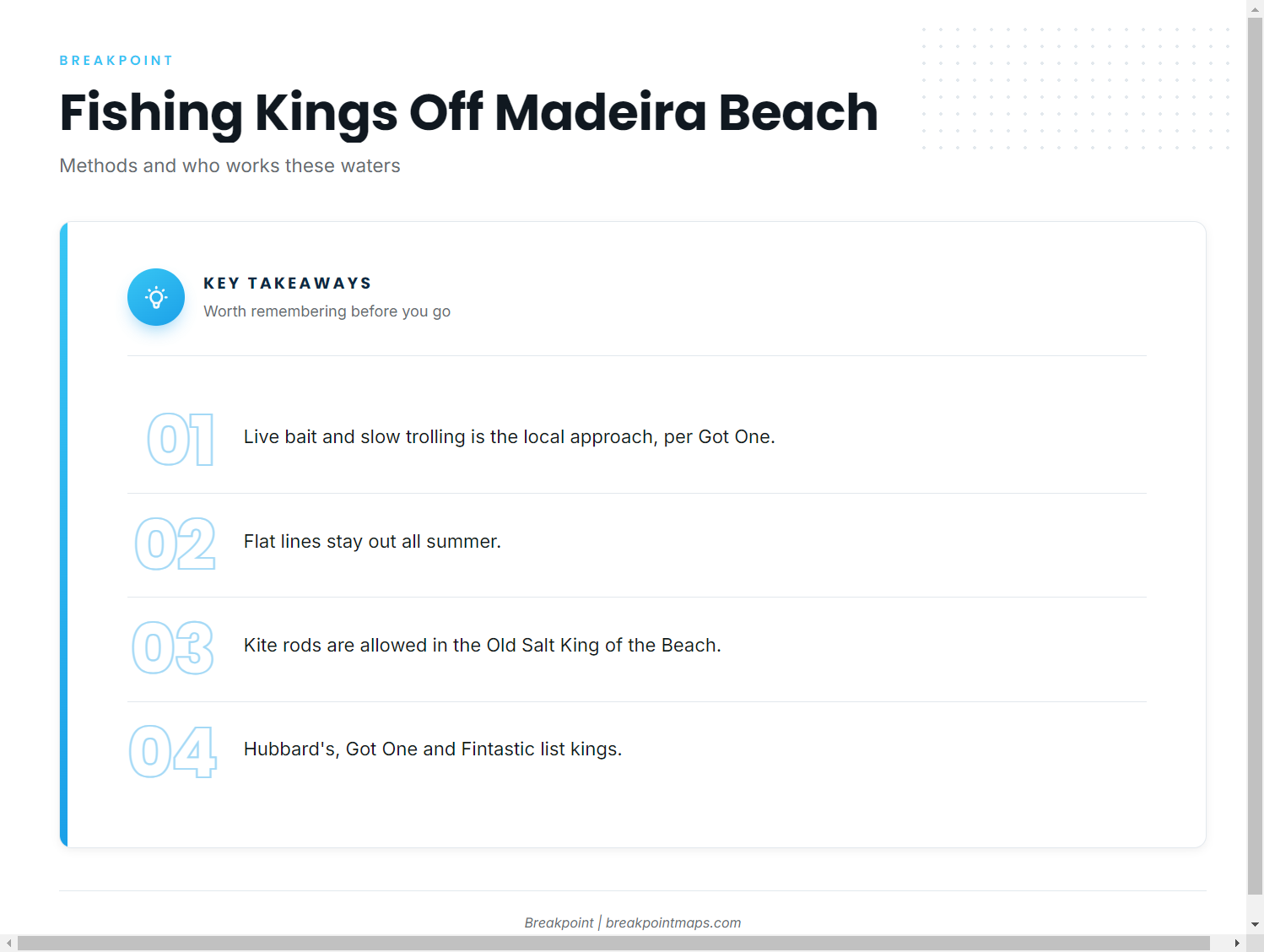
The local toolkit is short: three methods, one tournament and a handful of operators.
Live bait and slow trolling
The local approach is live bait and slow trolling, per Got One.
Flat lines
Flat lines stay out all summer.
Kites
Kite rods are allowed in the Old Salt King of the Beach.
Charters that target kings
These operators list kings or kingfish:
- Hubbard’s Marina party boat trips: Capt. Dylan Hubbard. Its 10-hour and 39-hour trips list kingfish.
- Got One Sportfishing fishing reports: Capt. Brian Simmons. Targets kings on all trip lengths, starting at the half day.
- Fintastic Fishing Charters with Capt. Papen: Capt. Steve Papen. Lists king mackerel.
- Bent Charters Fishing: Lists king mackerel.
Old Salt King of the Beach
The tournament runs spring and fall events. The Spring King west boundary sits about 30 miles west of the John’s Pass Safe Water Marker, and kite rods are allowed. That boundary covers the reefs and the 15 to 25 mile zone above.
FAQ: king mackerel fishing out of Madeira Beach
When do kings show up off Madeira Beach?
The spring migration starts in March and the fall migration starts in October, per Got One.
How far do boats run for kings out of Madeira Beach?
Got One says kings can be targeted on any trip length, starting with the half day. Hubbard’s 10-hour trip runs 15 to 25 miles, and its 39-hour trip runs 100 to 150 miles. Both list kingfish.
What are the coordinates of Madeira Reef?
Madeira Reef sits at 27 46.3 N, 82 54.9 W in 29-32 ft, concrete culverts, per FWC. Treasure Island Reef is at 27 44.5 N, 82 52.9 W.
How are kings fished locally?
Live bait and slow trolling, per Got One. Flat lines stay out all summer.
What is the Old Salt King of the Beach boundary?
The Spring King west boundary is about 30 miles west of the John’s Pass Safe Water Marker. Kite rods are allowed. The tournament runs in spring and fall.