Kings show up off Tarpon Springs in spring, and the first artificial reefs sit about 7 miles out. This guide covers king mackerel fishing out of Tarpon Springs for a boat leaving the Anclote River: when the fish arrive, how far to run, and which structure to start on.
When king mackerel are off Tarpon Springs
Spring is king season here, and the structure below is where to fish when the fish arrive.
Spring schools
Capt. Ray Markham’s forecast reports kingfish schools in late March. It is only a forecast, so check it before committing to a run. For the coast-wide picture of the spring run, see king mackerel migration across the Gulf (see also the wider Gulf of Mexico guide).
How far boats run and how deep
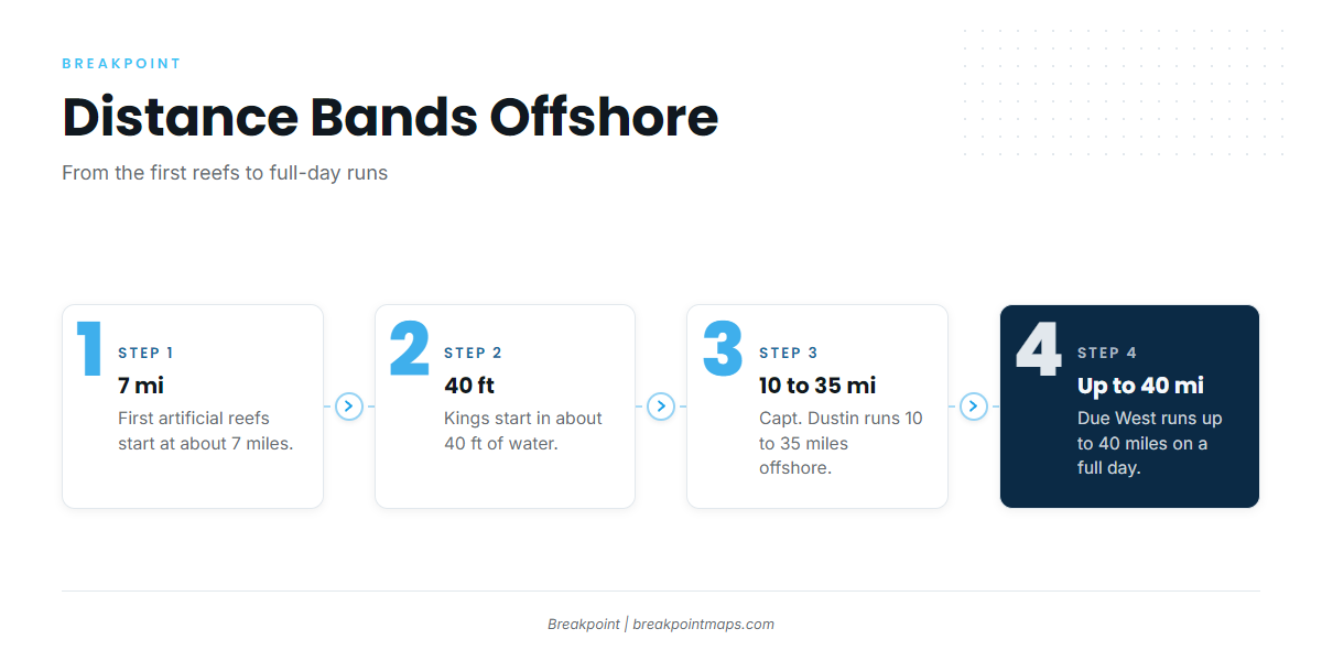
Start close and work out. The numbers below run from the nearest reefs to the longest charter runs.
- 7 mi: first artificial reefs
- About 40 ft: first kings
- 10 to 40 mi: charter range
First reefs at about 7 miles
Artificial reefs start at about 7 miles offshore. They are the shortest run to structure that can hold kings.
Kings from about 40 feet
The local shop report puts the first kings in about 40 ft of water.
Charter range, 10 to 40 miles
Capt. Dustin runs 10 to 35 miles offshore, and Due West runs up to 40 miles on a full day. A self-guided boat can use those figures as a benchmark for how far it may need to go when the close reefs are quiet.
Grounds and structure near Tarpon Springs
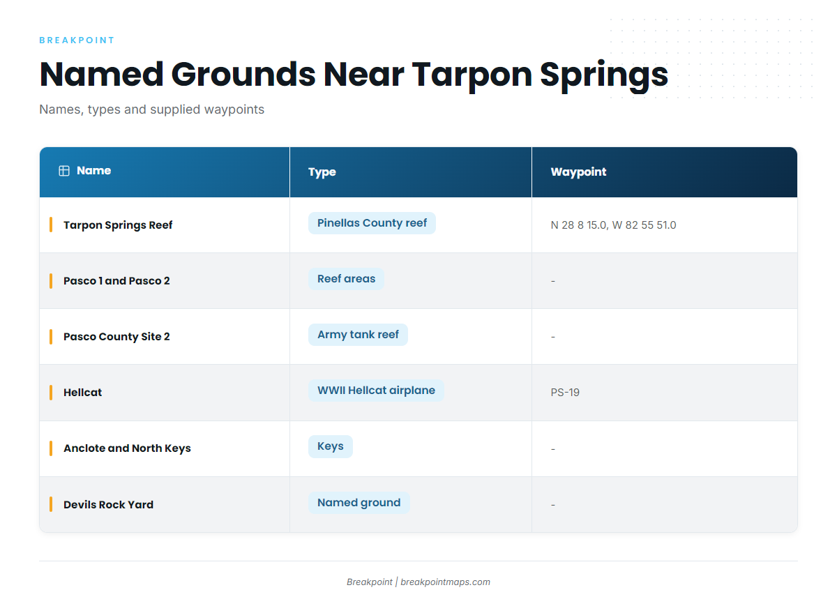
The named grounds below run from the keys out to the reefs.
| Name | Type | Waypoint or coordinate |
|---|---|---|
| Tarpon Springs Reef | Pinellas County artificial reef | N 28 8 15.0, W 82 55 51.0 |
| Pasco 1 and Pasco 2 | Reef areas | |
| Pasco County Site 1 | Reef area | |
| Pasco County Site 2 | Army tank reef area | |
| Hellcat | WWII Hellcat airplane | Pasco County reef waypoint PS-19 |
| Anclote Keys and North Keys | Keys | |
| Devils Rock Yard | Named ground | |
| Honeymoon Island | Tarpon area |
Chart layers and coordinates are not for navigation; use official charts.
Anclote Keys and North Keys
These are the named landmarks off the port.
Honeymoon Island
Honeymoon Island is known as a tarpon area.
Devils Rock Yard
Devils Rock Yard is a named ground off the port.
Tarpon Springs Reef
Tarpon Springs Reef is a Pinellas County artificial reef at N 28 8 15.0, W 82 55 51.0.
Pasco 1 and Pasco 2
These Pasco reef areas are where local anglers troll, as covered in the next section.
Pasco County Site 1 and Site 2 (army tank reef)
Site 1 is a reef area. Site 2 is the army tank reef area.
Hellcat (PS-19)
The Hellcat is a WWII airplane, listed as Pasco County reef waypoint PS-19.
How kings are fished here
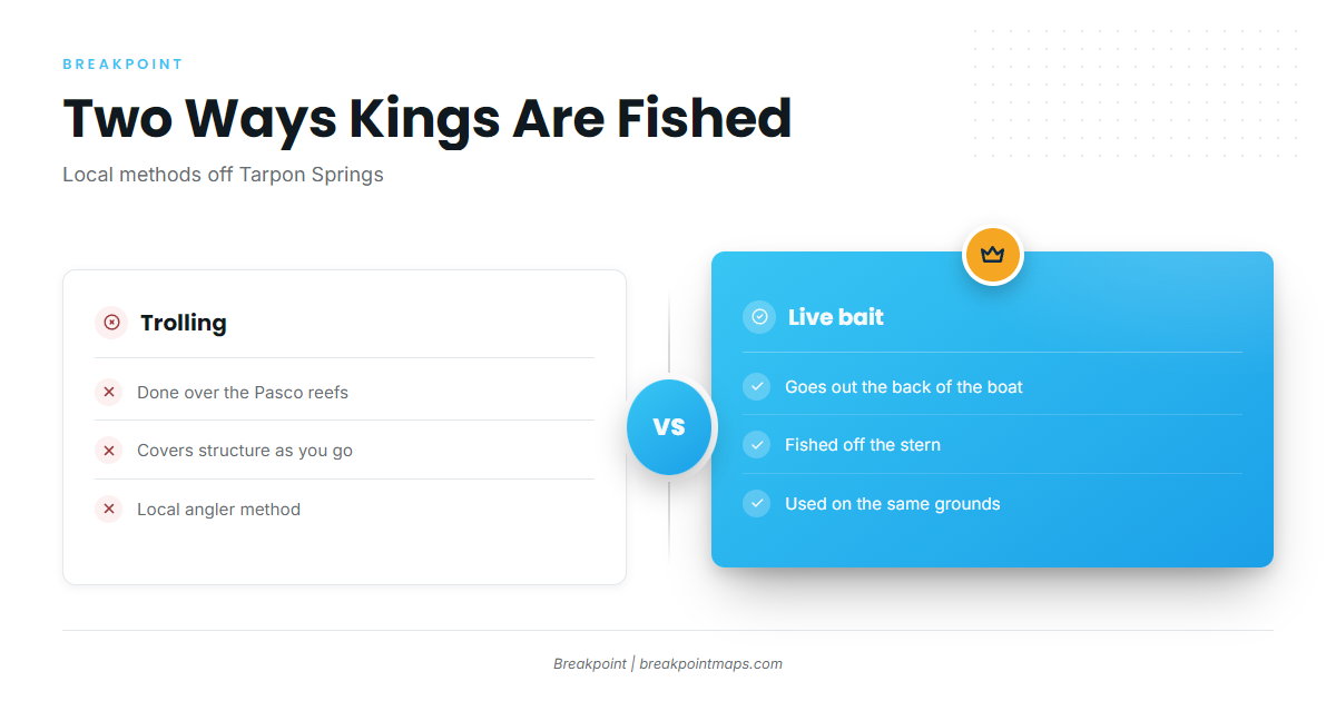
Two methods come up for kings out of this port. For rigs, tackle and species behavior, see the king mackerel species guide.
Trolling the Pasco reefs
Local anglers troll over the Pasco reefs and structure. One forum angler describes it as how he fishes them.
Live bait off the stern
Live bait goes out the back of the boat.
Who fishes kings from this port
Due West Fishing Charters lists king mackerel and runs up to 40 miles on a full day. Capt. Dustin runs 10 to 35 miles offshore. Their range shows how far kings can take a boat from this port. If you are fishing cobia and other species on the same reefs, the coastal and offshore gamefish guides cover them.
FAQ: king mackerel fishing out of Tarpon Springs
When do king mackerel show up off Tarpon Springs?
Spring. Capt. Ray Markham’s forecast reports kingfish schools in late March.
How far do you run from Tarpon Springs for kings?
Artificial reefs start at about 7 miles. Local charters run 10 to 35 miles, and up to 40 miles on a full day.
What depth do kings start in?
About 40 ft of water, per the local shop report.
Which reef should you start on?
Start with the artificial reefs from about 7 miles out, such as Tarpon Springs Reef (N 28 8 15.0, W 82 55 51.0) or the Pasco reefs.
Do charters target kingfish here?
Yes. Due West Fishing Charters lists king mackerel and runs up to 40 miles on a full day.