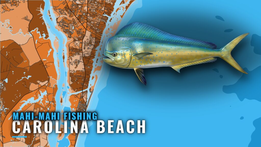
Mahi-mahi fishing out of Carolina Beach is a full-day run about 30 miles offshore, the trip local charters sell as a "30 Mile Offshore" day. You leave through Carolina Beach Inlet, work edges and floating structure in warm offshore water, and come home on the same track. The Carolina Beach port guide covers ramps, the inlet, and where to read conditions.
This page covers when the fish are in range, what to check before you commit to the run, where they hold, how they are worked, and who runs this water. It assumes you already know your boat and your limits.
When mahi are off Carolina Beach
Mahi are listed at this port in summer and autumn. Plan around those two seasons; the rest of the year is a different trip.
Summer into autumn
Wahoo, king mackerel, and several tunas are listed in the same seasons, so a mahi day often turns into a mixed trolling day. Treat the listing as a window to plan inside. It says nothing certain about any single day.
What brings them in range
Offshore water tied to the Gulf Stream edge is what puts mahi within reach of a 30 mile day. The edge moves, and the fish move with the water they prefer. For the wider pattern, see how mahi move along the Southeast (see also the Atlantic Southeast region guide). At the dock, the question is whether the water you can reach in a day looks like it holds the right edges.
How far boats run
Bait, spread, and speed all follow from where you decide to start looking.
The 30 mile full day
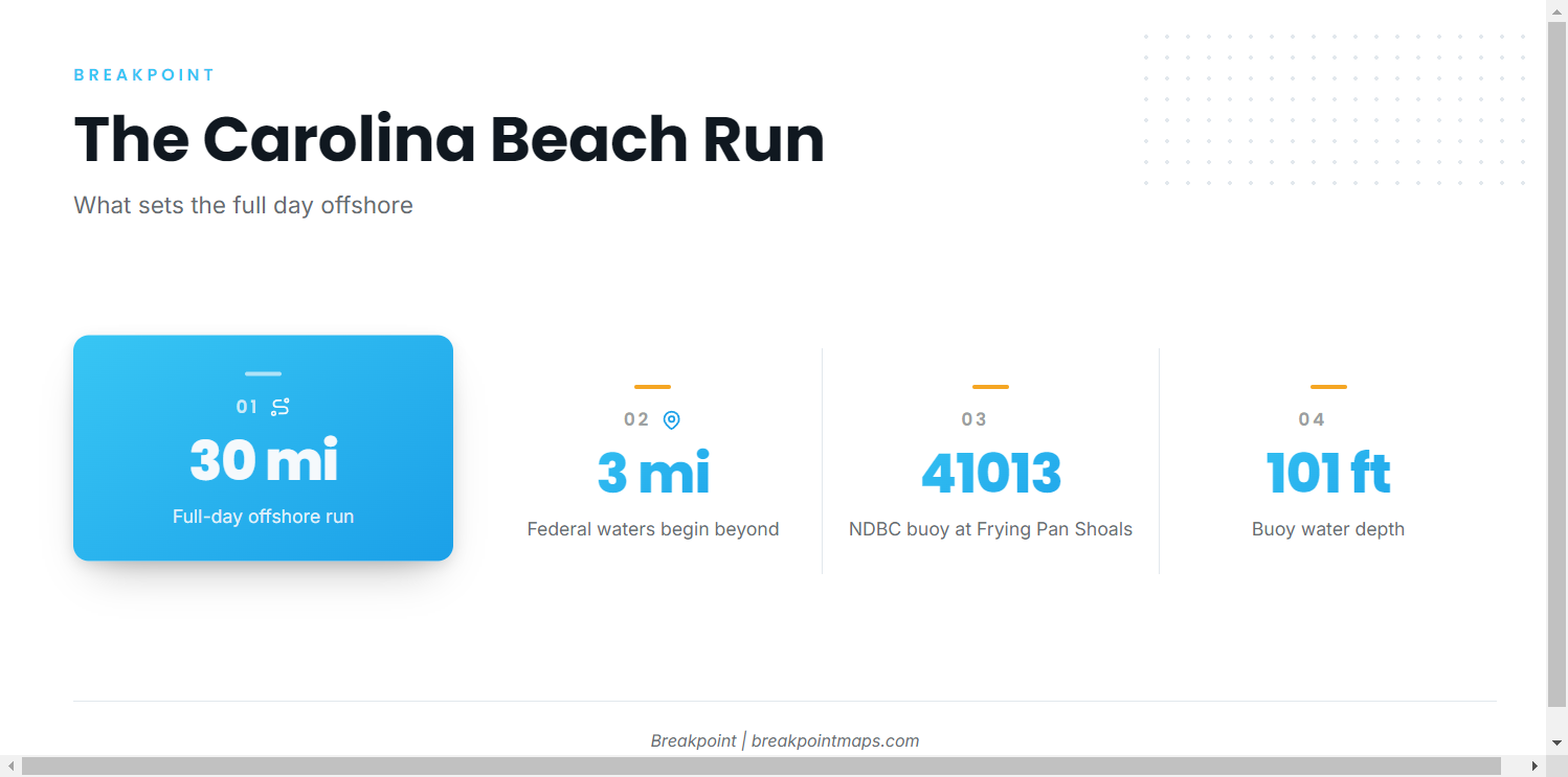
Local charters describe the full-day offshore trip from Carolina Beach as a "30 Mile Offshore" run. That figure sets the size of the day, and the edges and weed you find decide how it plays out. Plan the outbound leg so you reach likely water with daylight left to work it.
Getting out
Boats reach the ocean through Carolina Beach Inlet. Snows Cut leads to the Cape Fear River. NOAA’s Coast Pilot inlet notes describe Carolina Beach Inlet as subject to continual change and needing local knowledge. Read the water at the bar before you commit, and use the port page for ramps.
Reading NDBC 41013
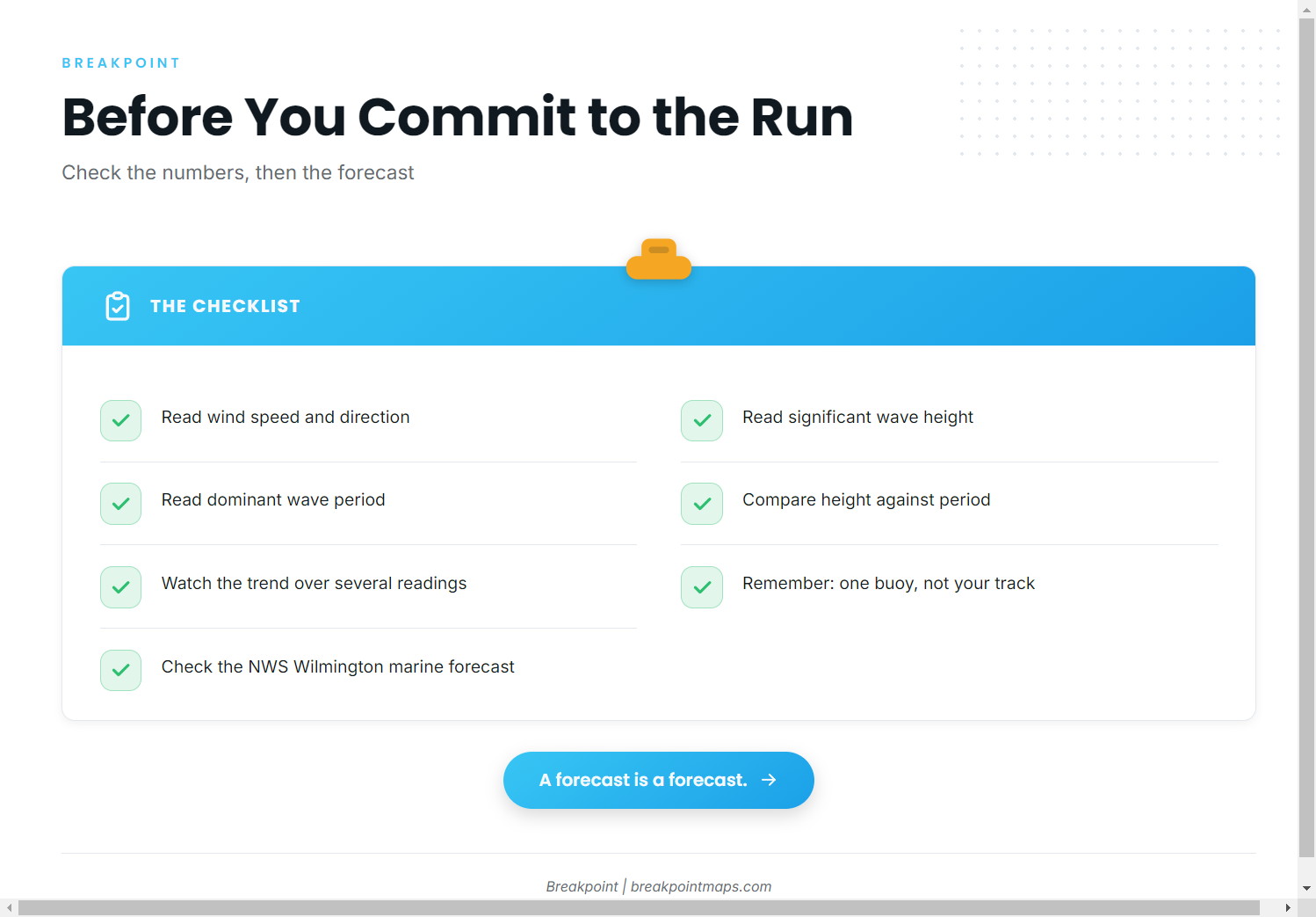
The nearest NOAA buoy is NDBC 41013, Frying Pan Shoals, NC, at 33.436 N, 77.764 W, in 30.8 m of water (about 101 ft). Pull these numbers before you leave:
- Wind speed and direction. Compare the direction with your outbound heading.
- Significant wave height and dominant wave period. Read them together, and watch the trend across the last several readings rather than a single one.
The buoy is one point at Frying Pan Shoals, not the water 30 miles out on your track. Check the NWS Wilmington marine forecast as well, and remember that a forecast is only a forecast.
Grounds that hold fish
Mahi hold to floating structure and edges. At this port you are looking for features you find on the day, not a fixed list of numbers.
Weedlines and floating debris
A weedline is a line of sargassum pushed together by wind and current. Mahi hold under weedlines and under floating debris, and any debris is worth a look, from a pallet to a single board.
Temperature and color breaks
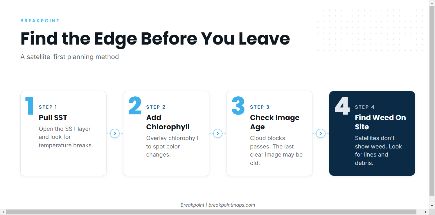
A temperature break or color change is an edge to work along, not a spot to sit on. Warm, blue water meeting cooler, greener water concentrates bait along the line. Run the edge and watch for weed, birds, and bait on it.
What the satellite can’t see
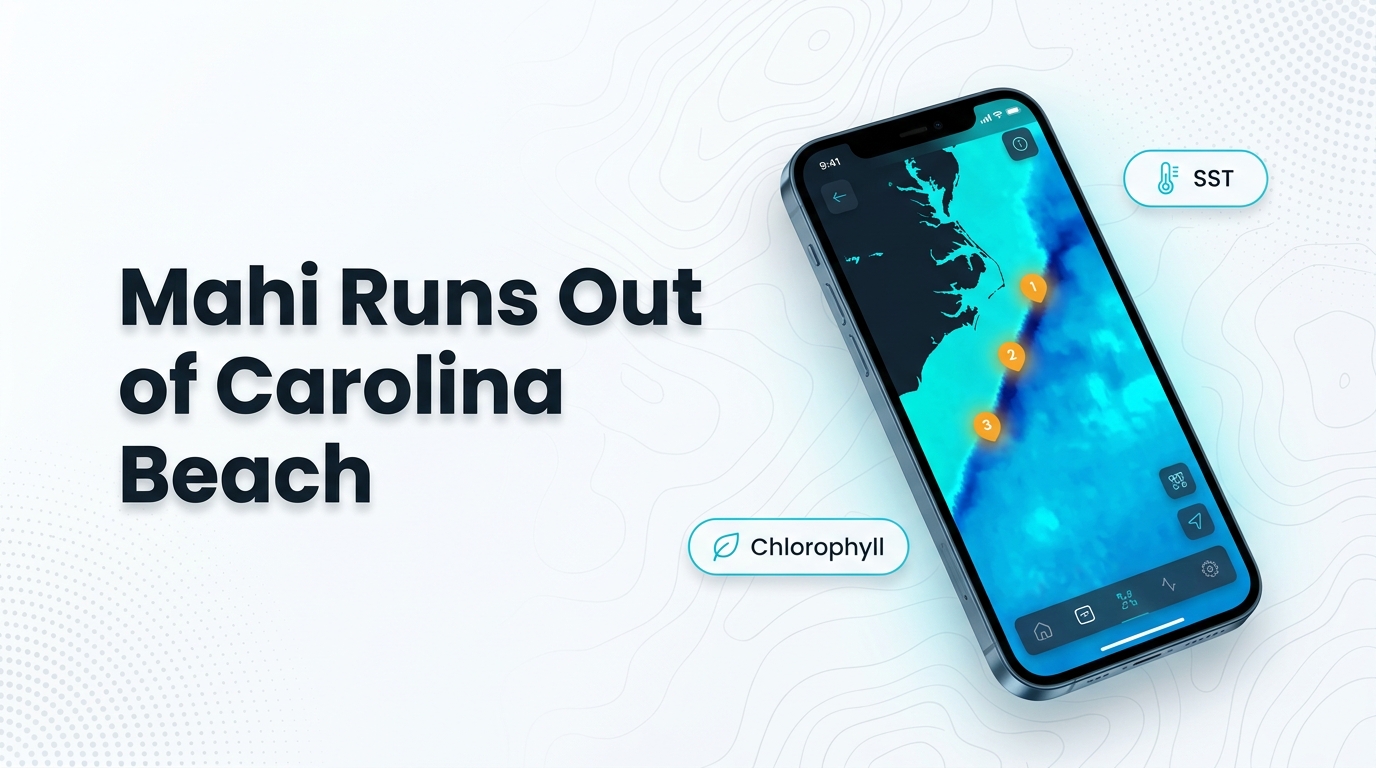
Start planning with the OBS SST and Chlorophyll layers to find breaks before you leave the dock. Cloud blocks a satellite pass, so the latest clear image may be older than it looks. Satellite imagery does not show weed, so you still have to find it by eye. Chart layers are not for navigation.
| Feature | What to look for | Limit of the data |
|---|---|---|
| Temperature break | Warm and cool water meeting along a line | Cloud can hide the pass |
| Color change | Blue water against green | Chlorophyll shows color, not fish |
| Weedline | Sargassum in a line | Not visible from satellite |
How it’s fished here
Local fishing is trolling first, then switching to bait once you find a school. For rigging and behavior detail, see our mahi-mahi species guide.
Trolling the edge
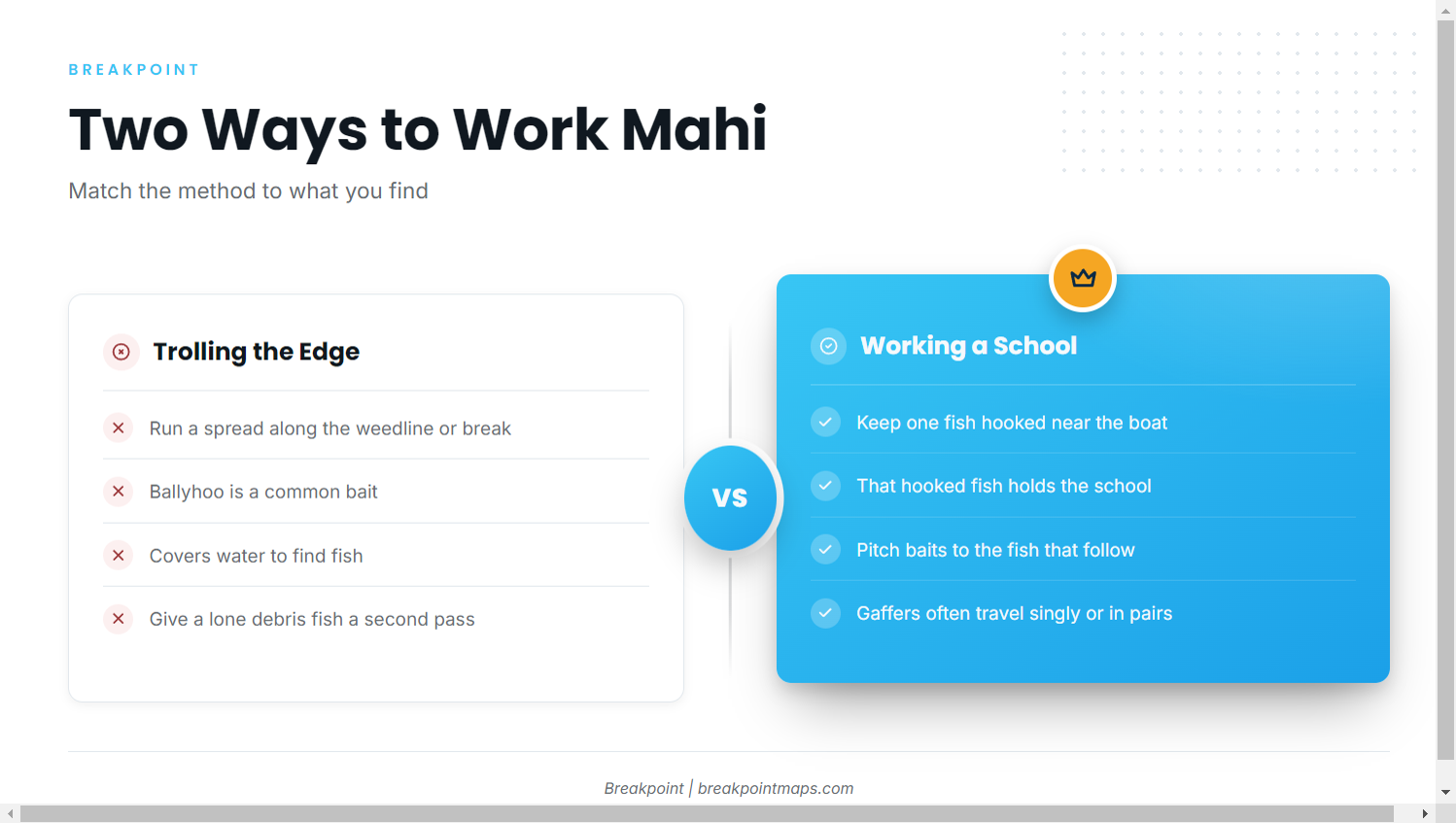
Work a trolling spread along the weedline or break. Ballyhoo is a common bait. Cover water until something shows, then go back over the line that produced.
Working a school
When schoolies come up, keep a hooked fish near the boat to hold the school, and pitch baits to the fish that follow. Gaffers often travel singly or in pairs, so a lone fish on a piece of debris deserves a second pass.
Who fishes for them
These operators list mahi-mahi from Carolina Beach. They run the same 30 mile pattern, so their day is a useful reference for planning your own.
| Operator | Boats / captain | Site |
|---|---|---|
| Wet N Wild Sportfishing | 54 ft custom "Wet N Wild" (flagship), 31 ft Contender "No Mercy" | Wet N Wild Sportfishing’s site |
| Second Sport Charters | Capt. Daniel Harris | Second Sport Charters online |
| Gypsy Dawn Charters | Capt. Justin Krause | Gypsy Dawn Charters species page |
FAQ about mahi out of Carolina Beach
How far do boats run for mahi out of Carolina Beach?
The full-day trip is described as a "30 Mile Offshore" run. The edges and weed you find decide where the day ends up, so treat 30 miles as the size of the day, not a fixed destination.
When is the best time for mahi-mahi fishing out of Carolina Beach?
Mahi are listed at this port in summer and autumn. Plan inside those two seasons and read the water on the day.
Which buoy should I check before the run?
Check NDBC 41013, Frying Pan Shoals, NC, at 33.436 N, 77.764 W. Read wind, significant wave height, and dominant wave period as numbers, and watch the trend. It is one point, so also check the NWS Wilmington marine forecast.
Which charters target mahi from Carolina Beach?
Wet N Wild Sportfishing, Second Sport Charters, and Gypsy Dawn Charters list mahi-mahi from this port. Their sites are in the operator table above.
What else gets raised while trolling for mahi?
Wahoo and tunas are listed at this port in summer and autumn, and they often turn up on the same spread. See the other offshore gamefish for those species.
Where are the rules for mahi caught offshore?
Federal waters start beyond 3 miles, so a 30 mile run is federal water. The federal dolphin and wahoo rules and the North Carolina rules and licenses pages hold the details. Check both before you fish.