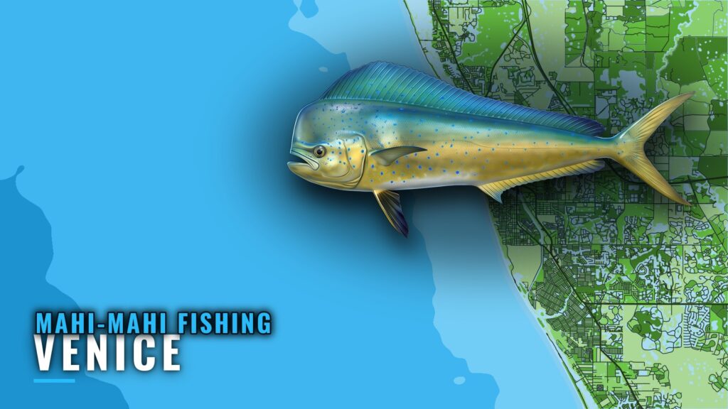
Mahi-mahi fishing out of Venice, Florida, is a summer fishery. The main named run is the Swiss Cheese hard bottom, about 18 nm at 250° from New Pass, and boats also make offshore pelagic runs past the named structure. This page covers the season, the run numbers, the named structure, who fishes mahi-mahi here, and where to check the rules. For inlet, ramp and fuel notes, see the Venice port guide. Mahi-mahi is one of the offshore gamefish worth the run from this coast.
When mahi-mahi are off Venice
Summer is the season for mahi-mahi off Venice, Florida.
| Item | Detail |
|---|---|
| Port | Venice, Florida |
| Species | mahi-mahi |
| Season | Summer |
Summer
Summer is when the run from Venice pays off. For broader timing and water movement across the Gulf, read the Gulf picture (see also the Gulf of Mexico offshore fishing guide).
Where boats run for mahi-mahi out of Venice
The bearings in this guide are measured from three different marks: New Pass, the New Pass Gulf marker and Venice Inlet. Plot each one from its stated mark. All distances and bearings are approximate, so verify them on your own chart.
Each route comes down to three numbers:
- Departure mark. The pass or marker the bearing is measured from.
- Distance and bearing. Nautical miles and degrees from that mark.
- Depth. What the bottom does under the boat when you arrive.
The Swiss Cheese
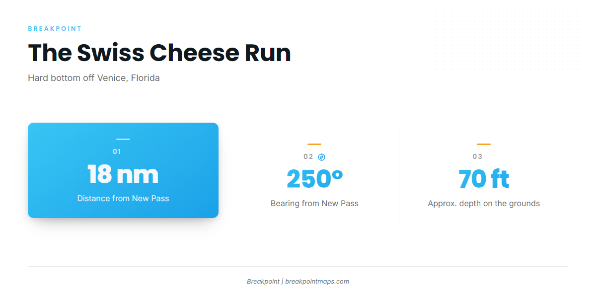
The Swiss Cheese hard bottom sits about 18 nm at 250° from New Pass, in about 70 ft of water. For how mahi feed and where they hold, see the species guide on how mahi feed and where they hold.
Mark the Swiss Cheese and M-9 bearings on Chart Contours. Chart layers are not for navigation.
Offshore pelagic water
Boats also run into pelagic water beyond the named structure. The Swiss Cheese is the numbered mark, and the open water past it is where these runs go.
Reading conditions before the run
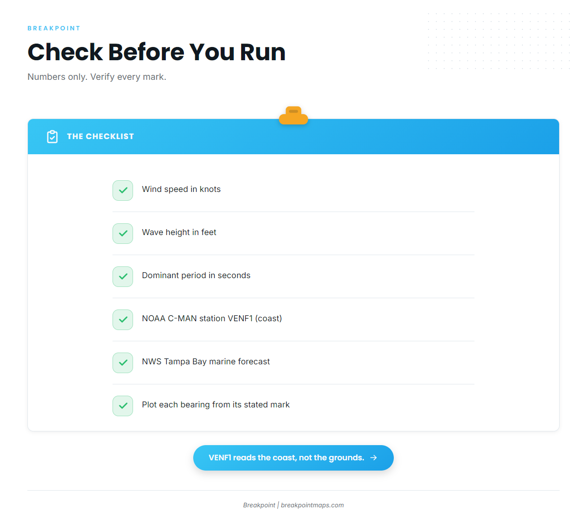
NOAA C-MAN station VENF1 (Venice, FL) sits at 27.072 N, 82.453 W. It is a coastal station, so it reports wind and sea at the coast rather than 18 nm out on the Swiss Cheese.
Read it alongside the NWS Tampa Bay marine forecast for the water you plan to cross. Pull these three numbers from both:
- Wind speed in knots
- Wave height in feet
- Dominant period in seconds
Grounds and structure near Venice
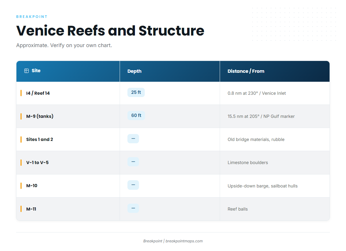
The table lists the named artificial reef sites and structure off Venice. I4 is measured from Venice Inlet, and M-9 is measured from the New Pass Gulf marker. Cells left blank carry no figure on this page.
| Site | Material | Depth | Distance/bearing | From |
|---|---|---|---|---|
| Venice Reef Site I4 / Reef 14 | Venice Bridge and Pier | 25 ft | 0.8 nm at 230° | Venice Inlet |
| Venice Reef Sites 1 and 2 | Old bridge materials, concrete rubble | |||
| Venice Reef V-1 to V-5 | Limestone boulders | |||
| M-9 | Tanks | 60 ft | 15.5 nm at 205° | New Pass Gulf marker |
| M-10 | Upside-down barge, sailboat hulls | |||
| M-11 | Reef balls | |||
| M-13 | Concrete culverts, sites 1 to 5 | |||
| M-15a and M-15b | Culverts, rubble |
Swipe the table sideways to see every column.
Nearshore reefs
Venice Reef Site I4, also called Reef 14, is built from the Venice Bridge and Pier in 25 ft of water, 0.8 nm at 230° from Venice Inlet. Venice Reef Sites 1 and 2 are old bridge materials and concrete rubble. V-1 to V-5 are limestone boulders.
The M-series reefs
M-9 is the numbered waypoint: tanks in 60 ft, 15.5 nm at 205° from the New Pass Gulf marker. M-10 is an upside-down barge and sailboat hulls, and M-11 is reef balls. M-13 is concrete culverts across sites 1 to 5, and M-15a and M-15b are culverts and rubble. Verify every mark on your own chart before you run it.
Who fishes mahi-mahi out of Venice
Liquid Lifestyle Charters lists mahi-mahi, and Captain Eric White is named on its site. Trip details are on the charter’s own site.
FAQ: mahi-mahi out of Venice
How far do boats run for mahi-mahi fishing out of Venice?
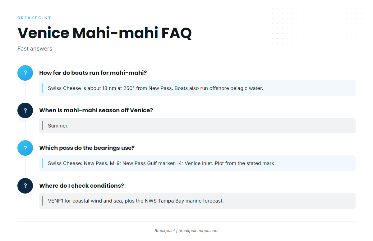
The main named run is the Swiss Cheese hard bottom, about 18 nm at 250° from New Pass. Boats also make offshore pelagic runs beyond the named structure.
When is mahi-mahi season off Venice, Florida?
Summer.
Which pass do the bearings use?
The Swiss Cheese is measured from New Pass, M-9 from the New Pass Gulf marker, and Reef I4 from Venice Inlet. Plot each bearing from its stated mark.
Where do I check conditions before the run?
Use NOAA C-MAN station VENF1 for coastal wind and sea, read alongside the NWS Tampa Bay marine forecast. VENF1 reads the coast, not the grounds.
Is there a local charter that lists mahi-mahi?
Liquid Lifestyle Charters lists mahi-mahi, and Captain Eric White is named on its site.
Where are the rules for fishing from Venice?
FWC sets the state rules, and the Florida regulations page points to them. Federal rules apply once you are past state water. Check both before you fish.