Where boats run out of Port Canaveral
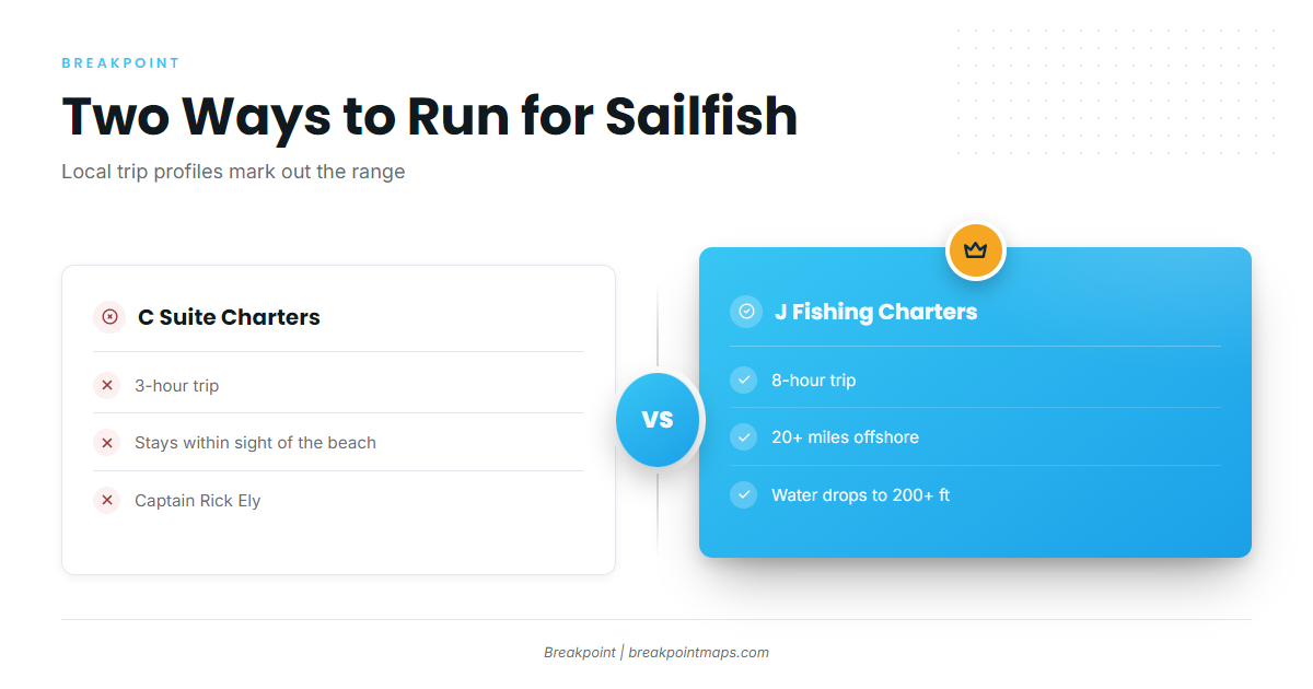
Two local sailfish trips mark the range: one stays in sight of the beach, the other goes 20+ miles offshore to 200+ ft of water.
Within sight of the beach
C Suite Charters runs a 3-hour sailfish trip that stays within sight of the beach. If your window is tight or your boat is small, this is the near end of the local range.
20+ miles out to 200+ ft
J Fishing Charters runs an 8-hour trip 20+ miles offshore, where the water drops to 200+ ft. That is the far end of the local range. Before a run that long, check the NWS marine forecast for Canaveral.
Grounds and structure off Port Canaveral
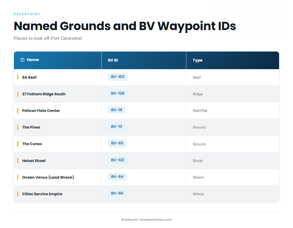
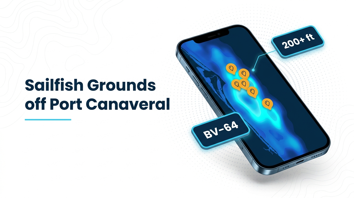
The named structures off Port Canaveral below are listed with their Breakpoint waypoint IDs as places to look.
| Name | BV ID | Type | Description |
|---|---|---|---|
| 8A Reef | BV-102 | Reef | |
| 27 Fathom Ridge South | BV-128 | Ridge | Southern end of a natural reef |
| Pelican Flats Center | BV-19 | Reef/flat | |
| The Pines | BV-13 | Ground | |
| The Cones | BV-65 | Ground | |
| Hetzel Shoal | BV-122 | Shoal | |
| Ocean Venus (Lead Wreck) | BV-64 | Wreck | 425 ft by 57 ft steel WWII cargo ship |
| Cities Service Empire | BV-66 | Wreck | 465 ft tanker listed as breaking up |
Reefs, ridges and shoals
Six of the eight named spots are bottom features: 8A Reef (BV-102), 27 Fathom Ridge South (BV-128, the southern end of a natural reef), Pelican Flats Center (BV-19), The Pines (BV-13), The Cones (BV-65) and Hetzel Shoal (BV-122).
Wrecks
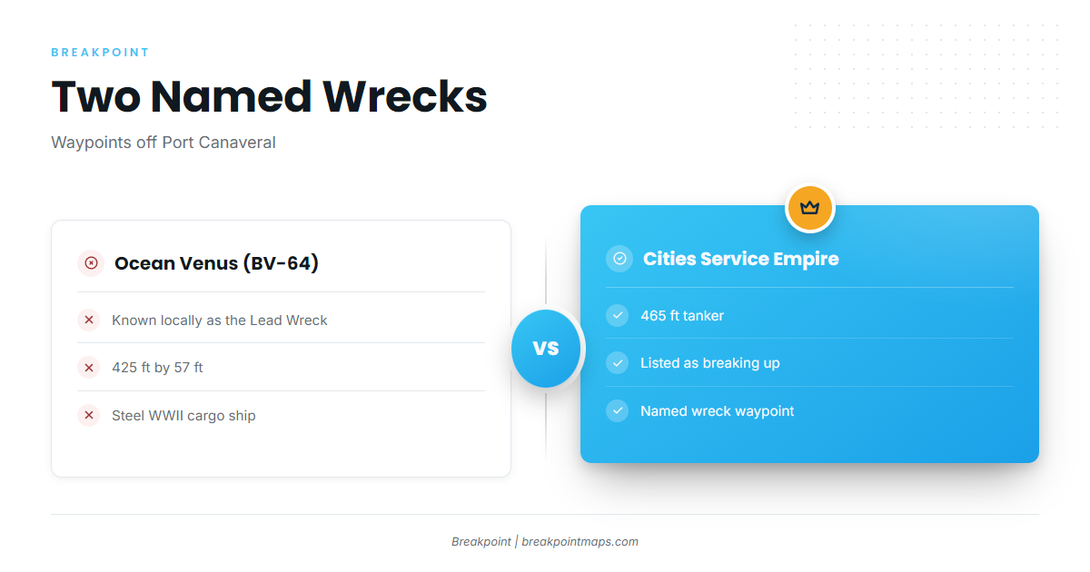
Ocean Venus, known locally as the Lead Wreck (BV-64), is a 425 ft by 57 ft steel WWII cargo ship. Cities Service Empire (BV-66) is a 465 ft tanker listed as breaking up.
Chart layers are not for navigation. Use official NOAA charts and the NOAA Coast Pilot 4 chapter.
Who fishes sailfish out of Port Canaveral
Two local charters list sailfish, and their trips mark the range locals fish.
| Charter | Captain | Trip | Range |
|---|---|---|---|
| C Suite Charters | Rick Ely | 3 hours | Within sight of the beach |
| J Fishing Charters | Jose Lopez | 8 hours | 20+ miles offshore, 200+ ft |
C Suite Charters
Captain Rick Ely lists sailfish on a 3-hour trip that stays within sight of the beach.
J Fishing Charters
Captain Jose Lopez lists sailfish and fishes from a 28-ft Bimini center console. The 8-hour trip runs 20+ miles offshore, where the water drops to 200+ ft.
Timing, biology and technique are covered in our sailfish fishing guide and the Atlantic Southeast sailfish picture (see also the Atlantic Southeast region guide).
FAQ about sailfish fishing out of Port Canaveral
How far do boats run for sailfish out of Port Canaveral?
It depends on the trip. C Suite’s 3-hour trip stays within sight of the beach, and J Fishing’s 8-hour trip runs 20+ miles offshore.
What depth do the longer trips reach?
J Fishing’s 8-hour trip runs 20+ miles out, where the water drops to 200+ ft.
Which wrecks are near Port Canaveral?
Ocean Venus (Lead Wreck, BV-64) is a 425 ft by 57 ft steel WWII cargo ship. Cities Service Empire (BV-66) is a 465 ft tanker listed as breaking up.
Do local charters target sailfish?
Yes. C Suite Charters (Captain Rick Ely) runs a 3-hour trip, and J Fishing Charters (Captain Jose Lopez) runs an 8-hour trip. Both list sailfish.
Where are sailfish technique and other billfish covered?
Technique, timing and tackle are in the sailfish fishing guide. Other billfish are in our billfish guides. Rules are in the Regulations section above.