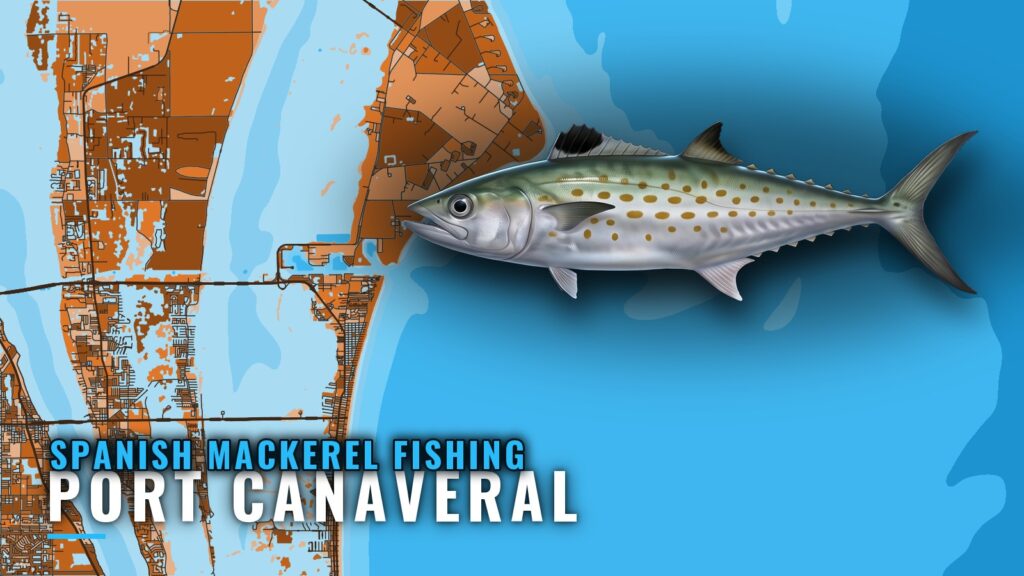
Spanish mackerel fishing out of Port Canaveral is a nearshore fishery worked within sight of the beach. The inlet, ramps, buoy and marine forecast are on that port page. C Suite Charters’ listing puts the best action in 20 to 40 ft. Below are 8 named grounds with BV waypoint IDs and the local charter that lists the species. Fish aren’t guaranteed, but the grounds and depths below should help you decide where to look.
When and where boats run for Spanish mackerel out of Port Canaveral
Timing and range come first, because they decide whether a trip is worth the fuel.
Timing
The Atlantic Southeast guide (see also the wider Atlantic Southeast guide) covers when the run happens along this coast. Biology and tackle are in the Spanish mackerel guide.
How far boats run
C Suite’s 3-hour trip stays within sight of the beach, so the run is short.
| What to plan around | What the listing says |
|---|---|
| Trip length | 3 hours |
| Range | Within sight of the beach |
| Best depth | 20 to 40 ft |
Grounds and structure near Port Canaveral
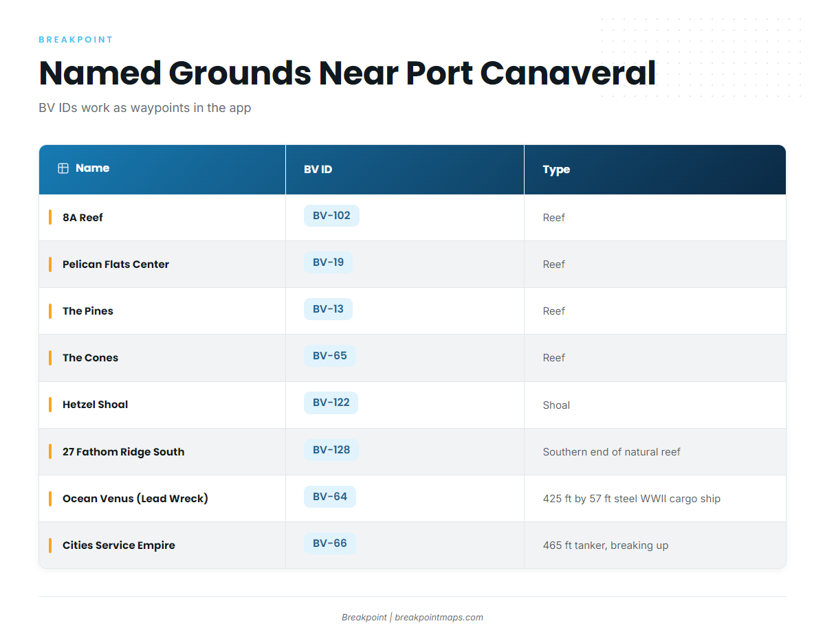
Each of these named grounds has a BV ID that works as a waypoint in the app. The list doesn’t describe every spot, so confirm depth against your chart before you fish any of them. The Chart Contours section below shows how.
| Name | BV ID | Type / listed description |
|---|---|---|
| 8A Reef | BV-102 | reef |
| Pelican Flats Center | BV-19 | reef |
| The Pines | BV-13 | reef |
| The Cones | BV-65 | reef |
| Hetzel Shoal | BV-122 | shoal |
| 27 Fathom Ridge South | BV-128 | southern end of a natural reef |
| Ocean Venus (Lead Wreck) | BV-64 | 425 ft by 57 ft steel WWII cargo ship |
| Cities Service Empire | BV-66 | 465 ft tanker listed as breaking up |
Reefs: 8A Reef, Pelican Flats Center, The Pines, The Cones
Four reef waypoints sit near the port:
- 8A Reef (BV-102)
- Pelican Flats Center (BV-19)
- The Pines (BV-13)
- The Cones (BV-65)
Hetzel Shoal (BV-122)
Hetzel Shoal is a shoal. Check its charted depths yourself before you set up on it.
27 Fathom Ridge South (BV-128)
27 Fathom Ridge South is described as the southern end of a natural reef.
Wrecks: Ocean Venus and Cities Service Empire
- Ocean Venus (Lead Wreck, BV-64): a 425 ft by 57 ft steel WWII cargo ship.
- Cities Service Empire (BV-66): a 465 ft tanker listed as breaking up.
Because the Cities Service Empire is listed as breaking up, its listed footprint is a record of the wreck as it was, and its current shape may differ.
How Spanish mackerel are fished locally
Locally, the fishery centers on one depth band, and the work is matching your waypoints to it.
The 20 to 40 ft band
C Suite’s listing puts the best Spanish mackerel action in 20 to 40 ft, which fits a trip that stays within sight of the beach. Other species work the same nearshore grounds, and the coastal and offshore gamefish guides cover them.
Matching structure to the band with Chart Contours
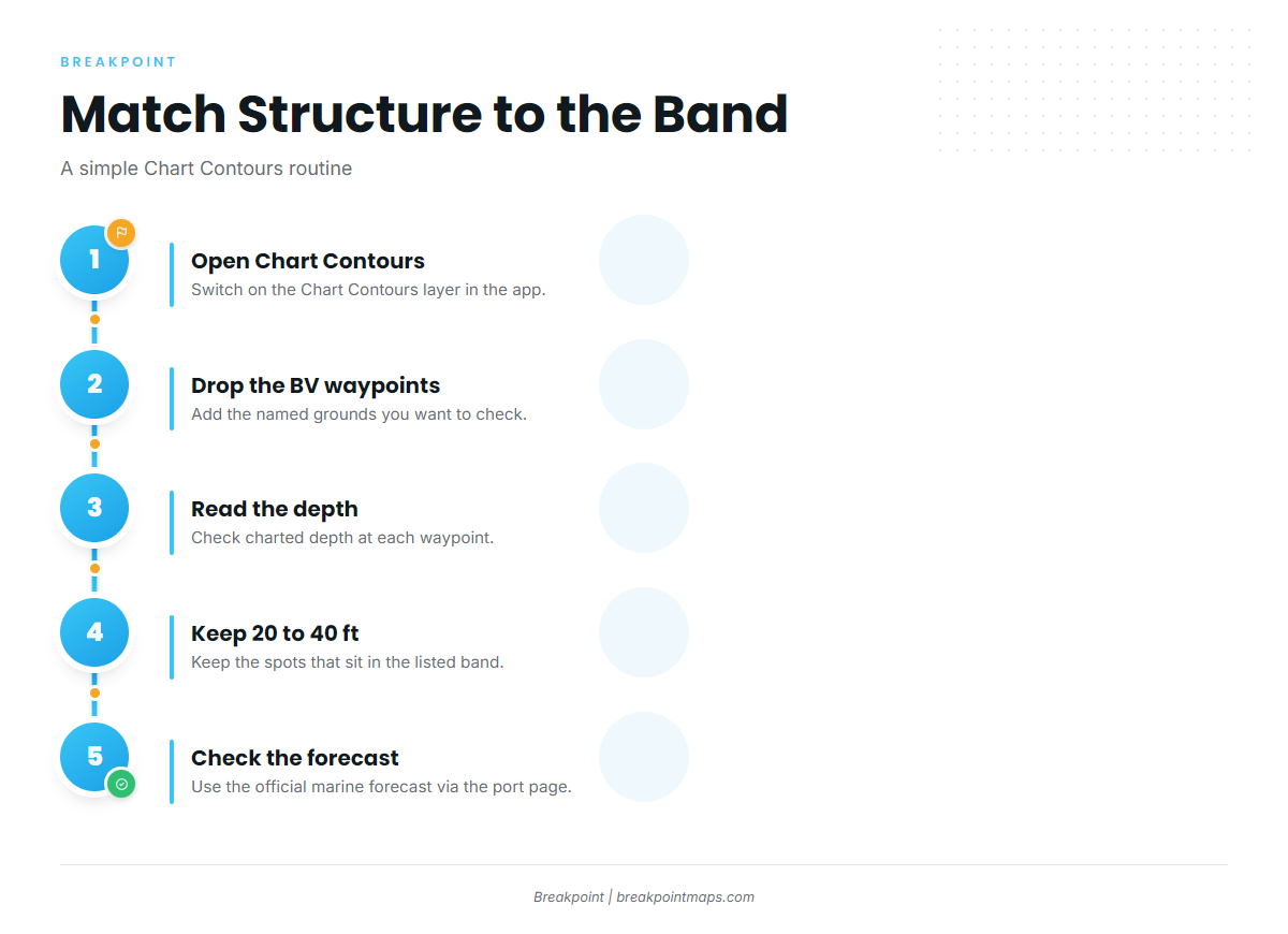
Drop the BV waypoints on the Chart Contours layer and keep the ones that sit in 20 to 40 ft. Chart layers are not for navigation.
Who fishes Spanish mackerel out of Port Canaveral
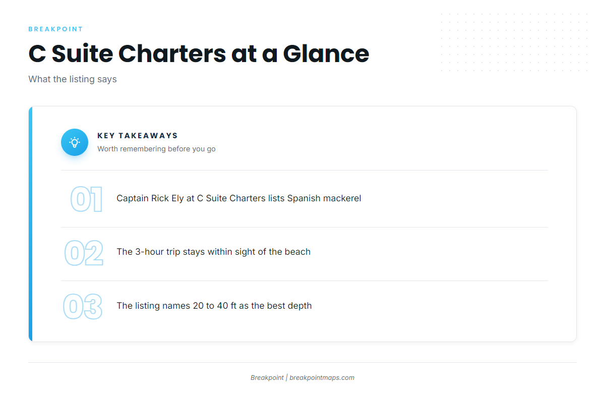
One local charter lists the species.
C Suite Charters, Captain Rick Ely
C Suite Charters, with Captain Rick Ely, lists Spanish mackerel out of Port Canaveral.
- Trip: a 3-hour run that stays within sight of the beach
- Depth: the listing names 20 to 40 ft as the best
FAQ: Spanish mackerel fishing out of Port Canaveral
How deep do Spanish mackerel hold off Port Canaveral?
C Suite Charters lists 20 to 40 ft as the best Spanish mackerel depth. Its 3-hour trip stays within sight of the beach.
How far do boats run for Spanish mackerel from Port Canaveral?
C Suite’s 3-hour trip stays within sight of the beach, so the run is short.
What named structure is near Port Canaveral?
The named grounds are 8A Reef (BV-102), Pelican Flats Center (BV-19), The Pines (BV-13), The Cones (BV-65), Hetzel Shoal (BV-122), 27 Fathom Ridge South (BV-128), and the wrecks Ocean Venus (Lead Wreck, BV-64) and Cities Service Empire (BV-66).
What are the Ocean Venus and Cities Service Empire wrecks?
Ocean Venus is a 425 ft by 57 ft steel WWII cargo ship. Cities Service Empire is a 465 ft tanker listed as breaking up, so its listed footprint may not match its current shape.
Which charter lists Spanish mackerel out of Port Canaveral?
C Suite Charters, Captain Rick Ely, lists Spanish mackerel. Its 3-hour trip stays within sight of the beach.