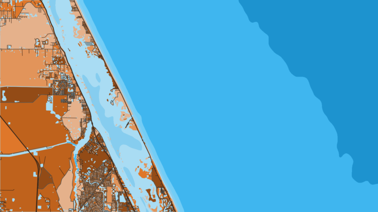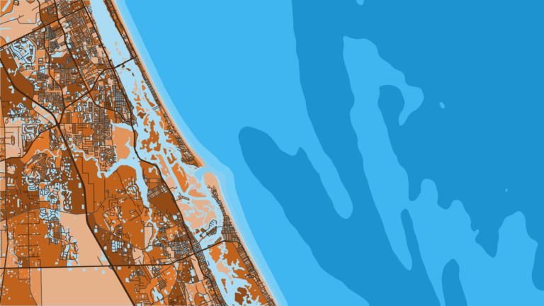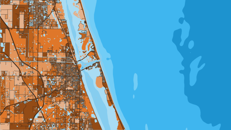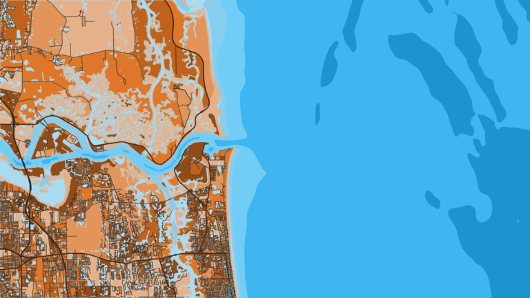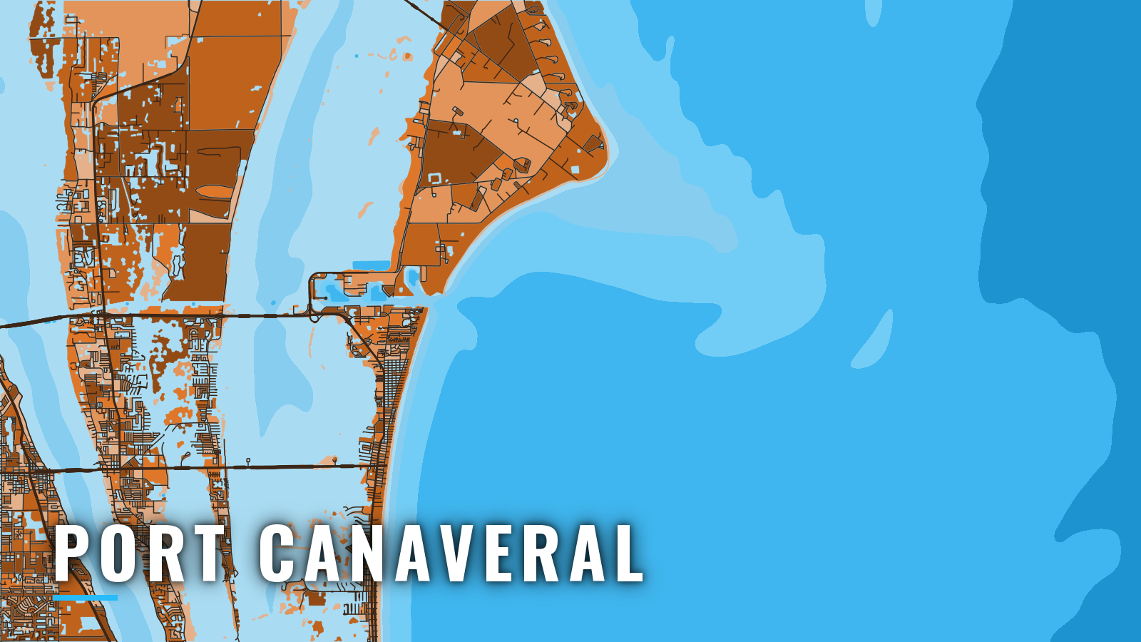

About Port Canaveral
Port Canaveral is a jettied deepwater harbor on Florida’s Space Coast. Cruise and cargo ships share the basins with private boats. A short channel between the jetties leads to the Atlantic, and the Canaveral Barge Canal runs west from the harbor to the Banana River and the Intracoastal Waterway. That places the port on the Atlantic Southeast coast, with open ocean to the east and protected water to the west.
Offshore fishing here runs year-round, and the target mix shifts by season. Anglers go after king mackerel and mahi-mahi more than anything else. Sailfish, wahoo, blackfin tuna, cobia, snapper and grouper fill out the list.
This page covers where to launch, how the entrance and approaches tend to behave, and what the grounds hold through the year. Check the rules on the state regulations page and with FWC before you fish.
Access and navigation
Port Canaveral has two Port Authority ramps and three marinas with fuel listed.
- Freddie Patrick Park – ocean side of the harbor, 3 double-wide ramps, parking for at least 100 trailers, rinse station and fish-cleaning tables.
- Rodney S. Ketcham Park – west side by the Canaveral lock, 2 lanes, courtesy docks, 28 trailer spaces, about 3.5 miles to open water.
- Sunrise Marina – fuel listed.
- Bluepoints Marina – fuel listed.
- Harbortown Marina – fuel listed.
Trailer parking at both Port ramps is free and first-come.
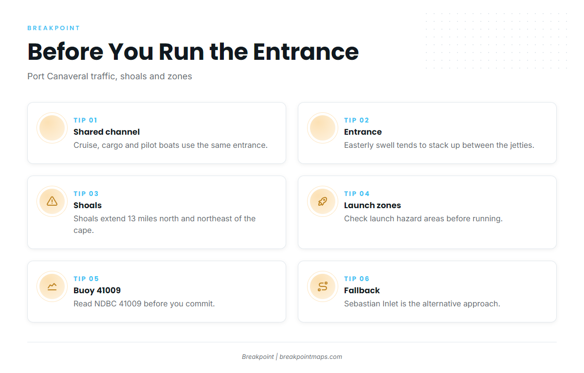
Cruise ships, cargo ships and pilot boats use the same entrance you do. The approach channel runs on a white 310° lighted range, and the channel between the jetties runs on a green 270° range. Pilots board about 1 mile southeast of lighted buoy 3. Regularly calling cruise ships rank second for movement priority, after emergencies. Because of sea turtles and manatees, boaters are asked to keep excursions from the channel centerline to a minimum. These figures come from Coast Pilot 4, Chapter 10.
Boaters coming from the Banana River or ICW side transit the Canaveral lock on the Barge Canal. The entrance between the jetties opens east, so easterly swell tends to run straight in and can stack up between the jetties. An outgoing tide against an onshore wind can steepen it further. Easterlies average 10 to 15 knots through much of the year, and waves over 6 ft occur 8 to 15 percent of the time from about October through March.
Shoals extend 13 miles north and northeast of the cape. Hetzel Shoal, Ohio Shoal and The Bull have an 11 ft least depth, and Chester Shoal has 7 ft. In a heavy sea the shoals show as breakers; in a smooth sea, little marks them. Chart guidance is to stay in at least 15 fathoms from the south and at least 13 fathoms from the north. A danger area runs from False Cape to the entrance, out 3 nm, and a restricted area covers the waters off Kennedy Space Center. No radio transmissions are allowed during launches, so check the Port Authority launch hazard notices before you run.
The available data has limits. NDBC buoy 41009 off Canaveral sits 20 nm out and does not show what the water between the jetties is doing. Read the buoy first, then pull up the NWS Melbourne (KMLB) marine forecast linked from that station page. Sebastian Inlet, 36.5 miles south of Cape Canaveral Light, is the alternative approach. On arrival, look at the water and the official forecast, and if conditions look bigger than you want, switch approaches.
Fishing conditions
Offshore from Port Canaveral, the grounds step out in a ladder of depth. 8A Reef and Pelican Flats sit nearer in. Farther out the Fathom Ridges run along the bottom: 12 Fathom Ridge at 70 ft, 21 Fathom Ridge at 125 ft and 27 Fathom Ridge at 160 ft. The Steeples and Charterhouse Ledge complete the named list.
Bluewater beyond the ridges toward the Gulf Stream edge can hold pelagics, including yellowfin tuna. The ridges and edges are easier to read on OBS SST, Chlorophyll and Chart Contours. Chart layers are not for navigation.
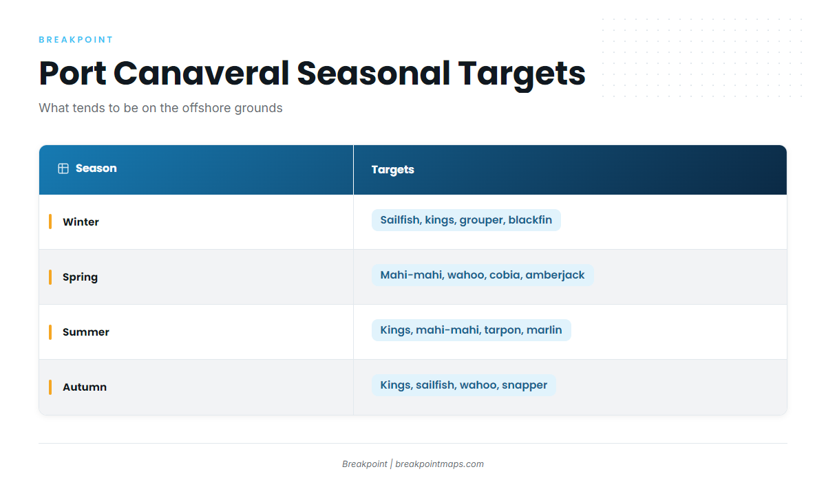
Winter
Winter targets include sailfish, king mackerel, grouper, mangrove snapper, mutton snapper and blackfin tuna. The sailfish run tends to be the headline. Blackfin tuna can show over the ridges, and bottom species can work the ridges and ledges, with golden tilefish deeper. The October through March wave numbers above apply to the run out.
Spring
Mahi-mahi, blackfin tuna, wahoo, sailfish and king mackerel can all show in spring. The northbound mahi run tends to bring fish up along the coast. Cobia might show on the surface during their northward movement, and amberjack, snapper and grouper hold on the deeper ledges.
Summer
Summer brings king mackerel, mahi-mahi, blackfin tuna, sailfish and cobia, with tarpon around the port. Blue marlin and white marlin are a bluewater possibility, though a long shot. Red snapper also shows on the bottom. The season is set by regulation, so check the state regulations page before you target them.
Autumn
King mackerel, sailfish, wahoo, mahi-mahi and blackfin tuna can all fish in autumn, along with mangrove snapper, lane snapper and sharks. Expect kings on the ridges as the season turns. Wahoo might work the edges and ledges through the same stretch.