When Spanish mackerel are off Georgetown
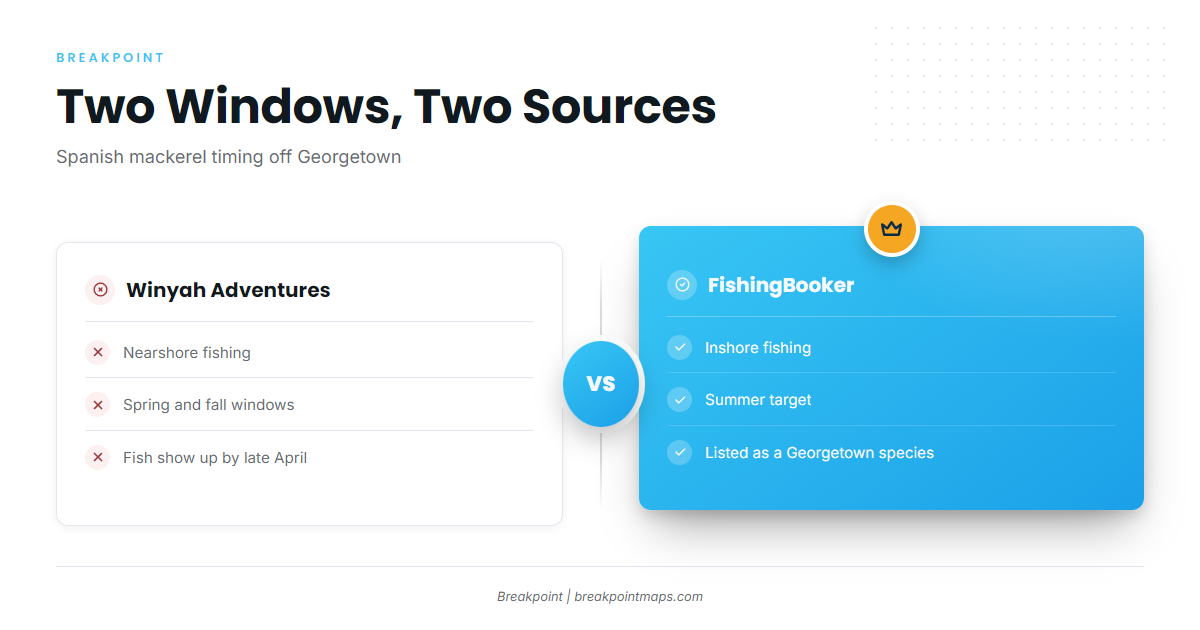
Spanish mackerel fishing out of Georgetown runs in two windows from two sources: nearshore in spring and fall, and inshore in summer. Launch and conditions context is on the Georgetown port page. Migration and biology are in the Spanish mackerel species guide, and the Atlantic Southeast run (see also the Atlantic Southeast region guide) covers the regional picture beyond this port.
Winyah Bay is the route out to the nearshore grounds covered below.
| Window | Where | Source |
|---|---|---|
| Spring and fall | Nearshore | Winyah Adventures |
| Summer | Inshore | FishingBooker |
Spring and fall nearshore
Winyah Adventures nearshore trips put Spanish mackerel nearshore in spring and fall, with fish showing up by late April. That is the operator’s account, and it is the window to plan around if you are running to the reefs.
Summer inshore
FishingBooker’s Georgetown fishing listing lists Spanish mackerel as a summer inshore target. The two sources describe different windows and different water, so both are given as they stand.
How far boats run
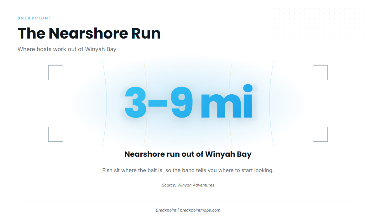
Boats run 3 to 9 miles out for nearshore fishing. The fish follow bait, so that band is a starting point for the search rather than a limit on it.
The 3 to 9 mile nearshore zone
Boats work this band out of Winyah Bay, around bait schools. Where the bait is, the fish are, so the bait determines where you stop.
Reading conditions at NIWS1
The nearest buoy is NOAA NDBC station NIWS1 at Oyster Landing, North Inlet-Winyah Bay Reserve (33.349 N, 79.189 W). Check its readings before the run, along with the official NWS marine forecast for the coastal waters.
Reefs and structure near Georgetown
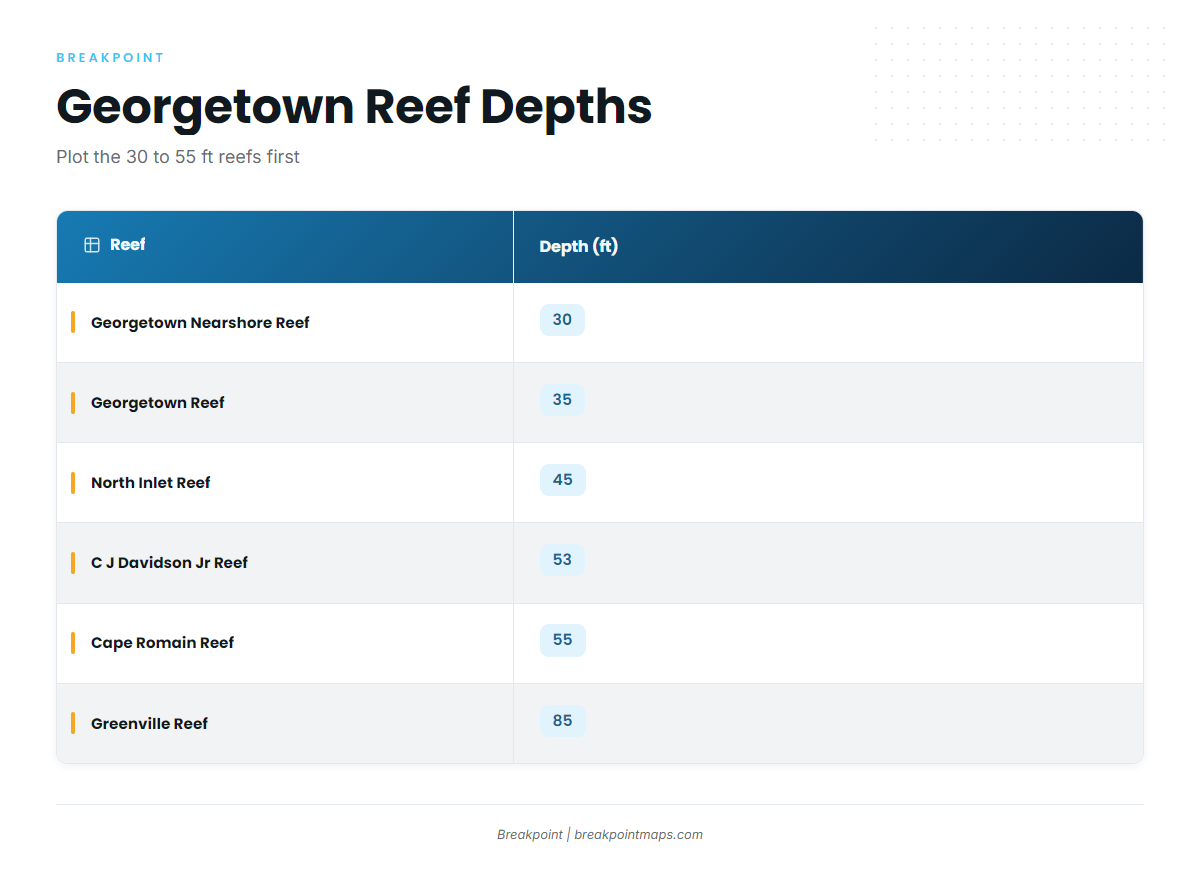
The only reef with a bearing and distance is C J Davidson Jr Reef: 53 ft, 147 degrees, 6.5 nm from channel buoy 2WB, one buoy marked. The depths below come from the SCDNR artificial reef locations.
| Reef | Depth (ft) | Notes |
|---|---|---|
| Hector Reef | 12 | |
| Georgetown Nearshore Reef | 30 | |
| Georgetown Reef | 35 | |
| North Inlet Reef | 45 | |
| C J Davidson Jr Reef | 53 | 147 degrees, 6.5 nm from channel buoy 2WB, one buoy marked |
| Cape Romain Reef | 55 | |
| Greenville Reef | 85 | |
| Vermilion Reef | 110 |
Georgetown Nearshore through Cape Romain cover 30 to 55 ft. Greenville and Vermilion are the deepest on the list.
If you plot these, a layer such as Chart Contours shows depth. Chart layers are not for navigation.
How it is fished here
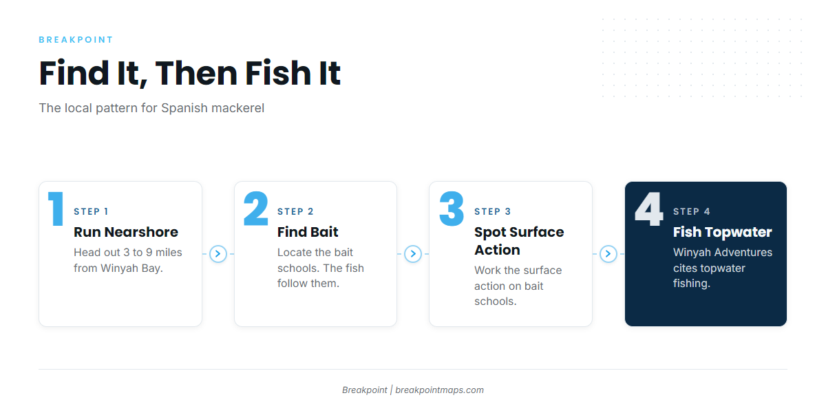
Locals work surface action on bait schools: find the bait, then fish what is feeding on it.
Bait schools and surface action
When bait is pushed to the surface, the fish are working it. That surface action is the local pattern, and it is why the run band above is tied to bait and not to a fixed mark.
Topwater
Winyah Adventures cites topwater fishing for Spanish mackerel. Surface-feeding fish are the ones that take it.
Who fishes for them out of Georgetown
Two local operators list Spanish mackerel:
- Winyah Adventures: Captain Eric, USCG-licensed.
- Harvest Moon Fishing Charters: Capt. R.C. Ferdon, running Harvest Moon nearshore charters.
FAQ: Spanish mackerel out of Georgetown
When does Spanish mackerel fishing out of Georgetown start?
By late April nearshore, per Winyah Adventures, with a fall nearshore window as well. FishingBooker lists Spanish mackerel as a summer inshore target.
How far do boats run for Spanish mackerel off Georgetown?
Nearshore, 3 to 9 miles out, around bait schools. The bait determines where you stop, so treat the band as a place to start looking.
Which reef near Georgetown has a marked buoy?
C J Davidson Jr Reef: 53 ft, 147 degrees, 6.5 nm from channel buoy 2WB, one buoy marked.
What method do locals use?
Surface action on bait schools. The operator cites topwater fishing.
What else do boats target from this port?
The coastal and offshore gamefish guides cover the other species by region. For conditions, check NOAA station NIWS1 at Oyster Landing before you run.