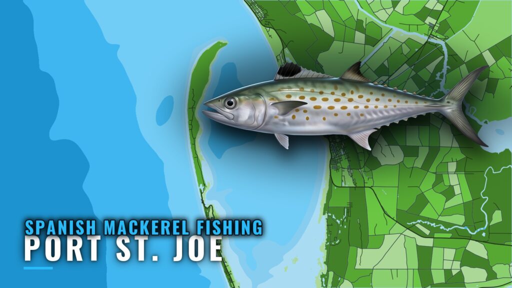
Boats heading out for Spanish mackerel from Port St. Joe leave through St. Joseph Bay, and the one named Gulf structure with a published distance, Empire Mica, lies 21 miles due south of Cape San Blas. This guide covers when the fish are around, how far boats run, which Gulf County artificial reefs to plot by GU number, and who fishes this port.
When Spanish mackerel are around Port St. Joe
Spanish mackerel follow water temperature and baitfish, and their timing here tracks their movement through the northeast Gulf. Fish that winter off Florida shift west of Cape San Blas and stay in the northern Gulf until the water cools. The port’s seasonal species lists place them in the warmer part of the year.
- Movement: the species guide covers how they feed and move, including the temperature range they prefer.
- Regional fit: our Gulf of Mexico Spanish mackerel guide (see also the Gulf of Mexico offshore fishing guide) places Port St. Joe along the northeast Gulf run.
- Schools: surface schools and birds working baitfish are the usual signs to watch for.
Getting out and how far boats run
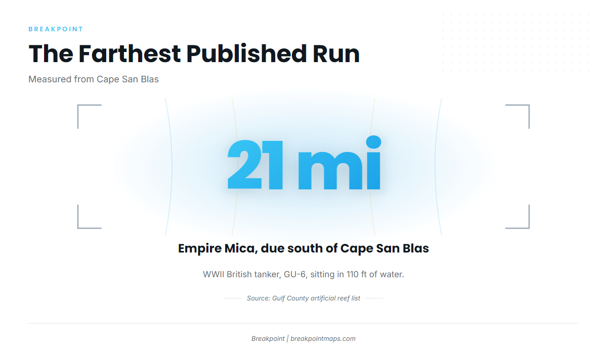
Cape San Blas is the reference point for distances on this page. The one published run is Empire Mica, 21 miles due south of the cape. Weigh that figure against your own boat, your fuel and the day’s forecast. We do not calculate port-to-wreck mileage or running time.
The Port St. Joe port page has the ramps, marinas and bay entrance details.
| Reference | Detail |
|---|---|
| Home water | St. Joseph Bay, northeastern Gulf |
| Distance reference | Cape San Blas |
| Published run | Empire Mica, 21 miles due south of the cape |
St. Joseph Bay to the Gulf
Boats leave the bay for the Gulf through its narrow northern opening. The entrance and the shoals off the cape are described in U.S. Coast Pilot 5 chapter, Chapter 6. Read it before you run, and use the port page for practical details.
Reading the tide (station 8728912)
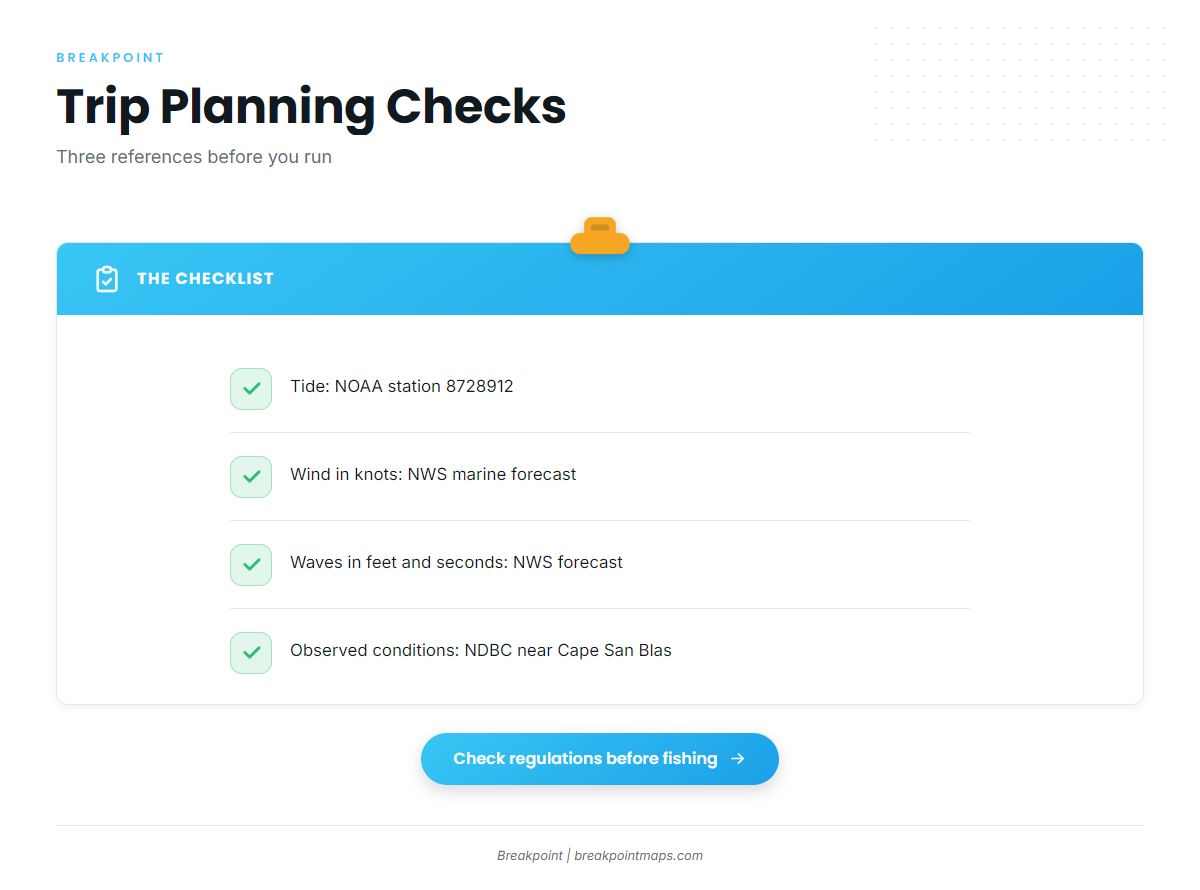
Three sources cover trip planning:
- Tide: NOAA tide station 8728912, Port Saint Joe.
- Forecast: the NWS Mexico Beach marine forecast gives wind in knots, wave height in feet and period in seconds.
- Observations: NDBC observations near Cape San Blas show current conditions on the water, which you can compare against the forecast.
Chart layers are not for navigation. Make your go or no-go call from the official forecast.
Grounds and structure
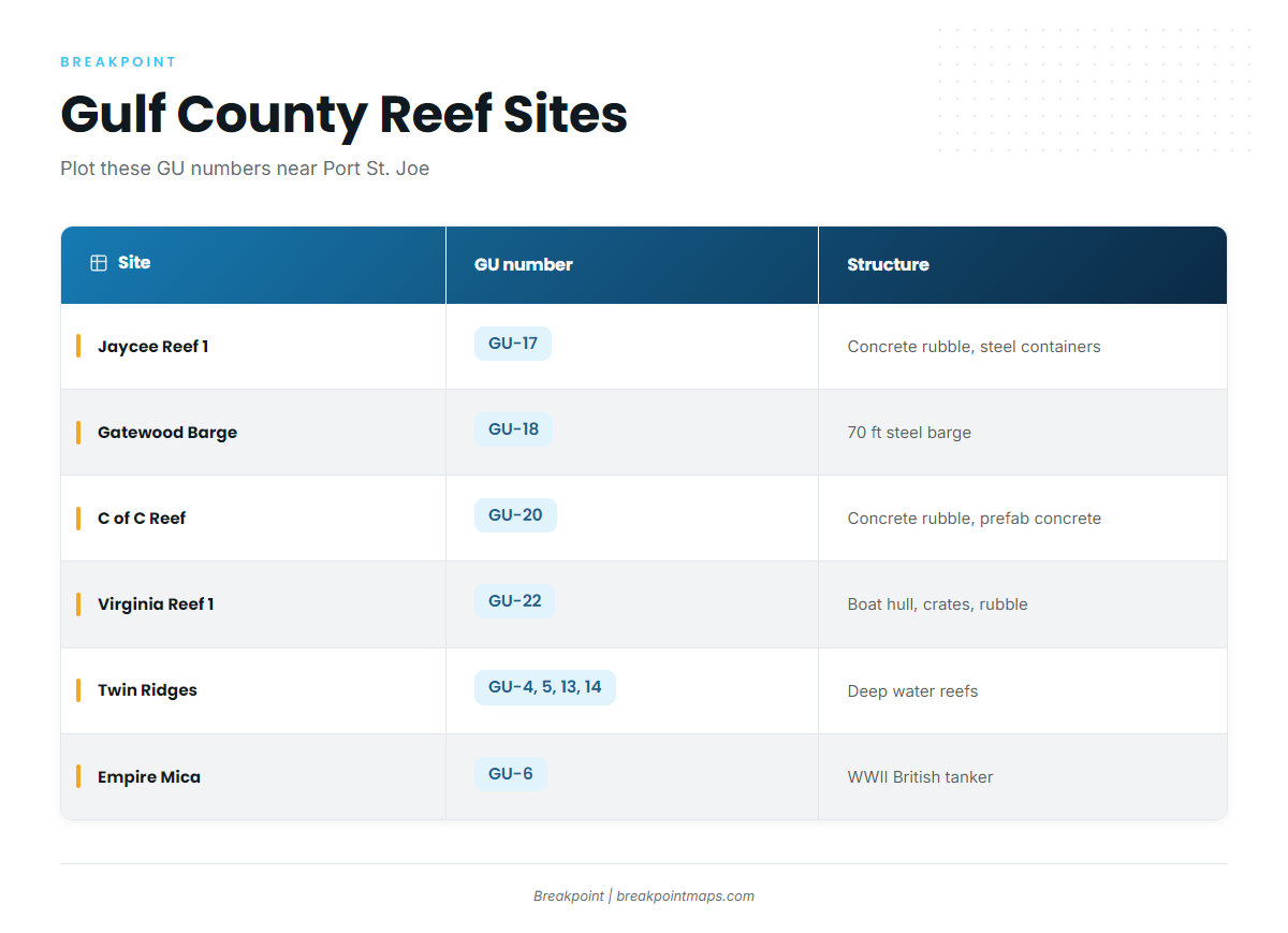
These sites come from the permitted Gulf County artificial reef list and are identified by GU number. Empire Mica is the only site here with a published depth and distance.
| Name | GU number | Structure | Depth or distance |
|---|---|---|---|
| Pompano Point | GU-15 | ||
| Jaycee Reef 1 | GU-17 | Concrete rubble and steel containers | |
| Gatewood Barge | GU-18 | 70 ft steel barge | |
| C of C Reef | GU-20 | Concrete rubble and prefabricated concrete | |
| LST Port St Joe | GU-21 | ||
| Virginia Reef 1 | GU-22 | Boat hull, metal crates and concrete rubble | |
| Twin Ridges NE, SE, NW, SW | GU-4, GU-5, GU-13, GU-14 | Northeast Gulf deep water reefs | |
| Empire Mica | GU-6 | WWII British tanker | 110 ft, 21 miles due south of Cape San Blas |
Nearer reefs and wrecks
Plot these in table order. Pompano Point (GU-15) and LST Port St Joe (GU-21) are listed by name only. The others are Jaycee Reef 1 (GU-17), Gatewood Barge (GU-18), C of C Reef (GU-20) and Virginia Reef 1 (GU-22), with the structure shown in the table.
Twin Ridges (GU-4, 5, 13, 14)
Four sites, NE, SE, NW and SW, are listed as northeast Gulf deep water reefs. They make up the deep-water group in this set.
Empire Mica (GU-6)
A WWII British tanker in 110 ft of water, 21 miles due south of Cape San Blas. It is the farthest published run on this page.
How it is fished and who fishes here
Methods are covered in the species guide linked above. Spanish mackerel are aggressive, school-feeding fish, so the usual approach is to find the bait and the birds first. If you want to fish other gamefish on the same grounds, that guide covers them.
Self-guided boaters running from St. Joseph Bay make up much of the traffic, along with local charter operations.
Shallow Seas Charters
Capt. Lee Thompson runs a 21 ft bay boat and lists Spanish mackerel. Details are at Shallow Seas Charters.
FAQ about Spanish mackerel fishing out of Port St. Joe
How far is Empire Mica from Cape San Blas?
21 miles due south, in 110 ft of water. Empire Mica is GU-6, a WWII British tanker.
Which Gulf County reef sites are near Port St. Joe?
Pompano Point (GU-15), Jaycee Reef 1 (GU-17), Gatewood Barge (GU-18), C of C Reef (GU-20), LST Port St Joe (GU-21), Virginia Reef 1 (GU-22), Twin Ridges (GU-4, 5, 13, 14) and Empire Mica (GU-6).
What tide station do boaters use for Port St. Joe?
NOAA station 8728912, Port Saint Joe. Pair it with the marine forecast figures: wind in knots, wave height in feet and period in seconds.
Is there a local charter that lists Spanish mackerel?
Yes. Shallow Seas Charters lists Spanish mackerel. Capt. Lee Thompson runs a 21 ft bay boat.
Where are the Spanish mackerel limits posted?
On the Florida regulations page and in the federal rules for offshore waters. Check both before you fish. We give no figures here.