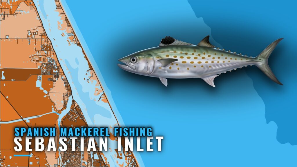
When Spanish mackerel are off Sebastian Inlet
Spanish mackerel fishing out of Sebastian Inlet runs from fall through winter. This guide covers when the fish show, how far boats run, which structure sits where, what lures local boats use and whose reports to watch. For the inlet layout, see the Sebastian Inlet port page.
Big Easy’s November and December notes describe the usual push south, which turns the fall run into a winter fishery here. Our Spanish mackerel guide covers the biology and the migration, and the Atlantic Southeast Spanish mackerel guide (see also the wider Atlantic Southeast guide) follows the run along the whole coast. The reports named below are the best signal for when to launch.
How far boats run
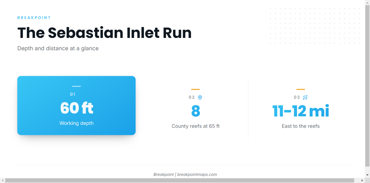
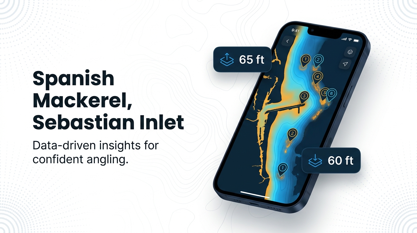
Boats run from the beach out to 50 to 60 ft of water, and every ground in the next section is measured against that band.
| Zone | Depth | Notes |
|---|---|---|
| Beach to working depth | 50 to 60 ft | Open-water run |
| Working depth | About 60 ft | Where the run settles |
| North Jetty | At the inlet | Close-in option |
The beach to 60 ft
The band is 50 to 60 ft, with about 60 ft as the working depth. Spoons cover the whole stretch from the beach out; the methods section below names the lures.
The North Jetty
Spacefish’s October report has fish at the North Jetty at the inlet. It is the close-in option when you want fish without making the run.
Grounds and structure off Sebastian Inlet
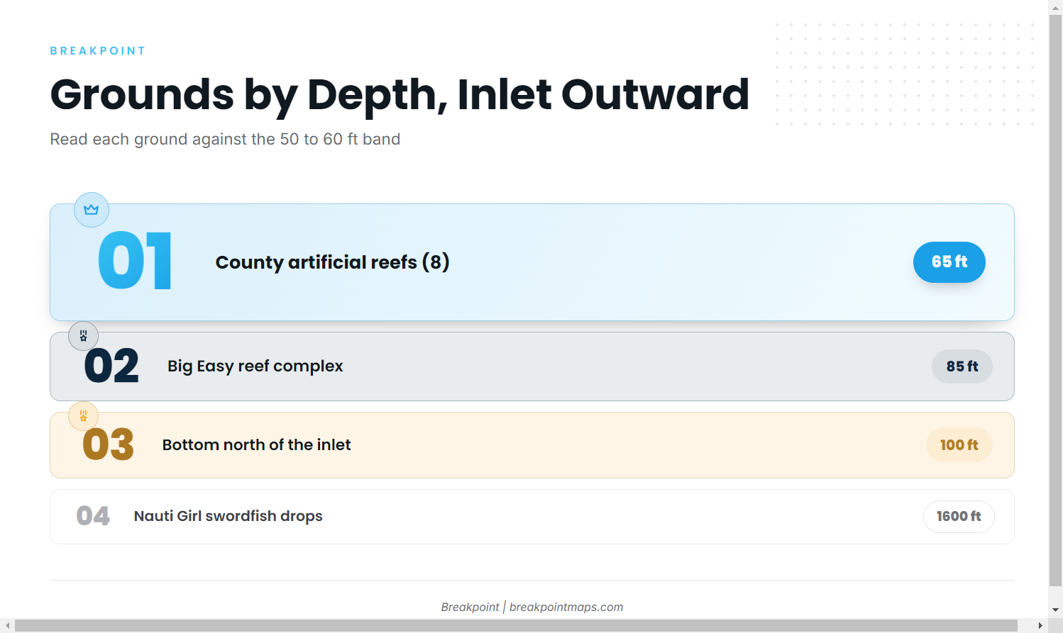
The named structure runs from the jetties out to 1600 ft, and most of it sits beyond the 50 to 60 ft band.
| Ground | Depth | Location |
|---|---|---|
| Sebastian Inlet north and south jetties, T-dock | At the inlet | |
| Monster Hole (shoal) | ||
| Indian River County artificial reefs (8) | 65 ft | 11 to 12 miles east of Sebastian Inlet |
| Big Easy reef complex (85 and 90 ft reefs) | 85 ft | |
| Bottom north of the inlet (unnamed) | 100 ft | Just north of Sebastian Inlet |
| Gulf Stream edge | ||
| Nauti Girl swordfish drop grounds | 1600 ft | 35 to 45 miles offshore of Melbourne and Sebastian |
Mark the county reefs, the Big Easy reefs, the 100 ft bottom and Monster Hole as waypoints, or read them against Chart Contours. Chart layers are not for navigation.
Sebastian Inlet jetties and T-dock
The north and south jetties frame the entrance, and the T-dock is the inlet’s dock area. The North Jetty report above is the one tied to mackerel.
Monster Hole
Monster Hole is a shoal off Sebastian Inlet and a useful waypoint to mark.
Indian River County artificial reefs
Eight reefs sit in 65 ft, 11 to 12 miles east of Sebastian Inlet. They lie just past the 50 to 60 ft band, at the outer edge of the zone.
Big Easy reef complex
The named 85 and 90 ft reefs sit in 85 ft, beyond the mackerel band, and work as a reference point.
Bottom north of the inlet
This is unnamed bottom in 100 ft, just north of Sebastian Inlet. Treat it as a reference point beyond the band.
Gulf Stream edge and the swordfish grounds
The Gulf Stream edge is the port’s outer limit. The Nauti Girl swordfish drop grounds sit at 1600 ft, 35 to 45 miles offshore of Melbourne and Sebastian. Both serve as outer reference points and are not mackerel grounds.
How Spanish mackerel are fished locally at Sebastian Inlet
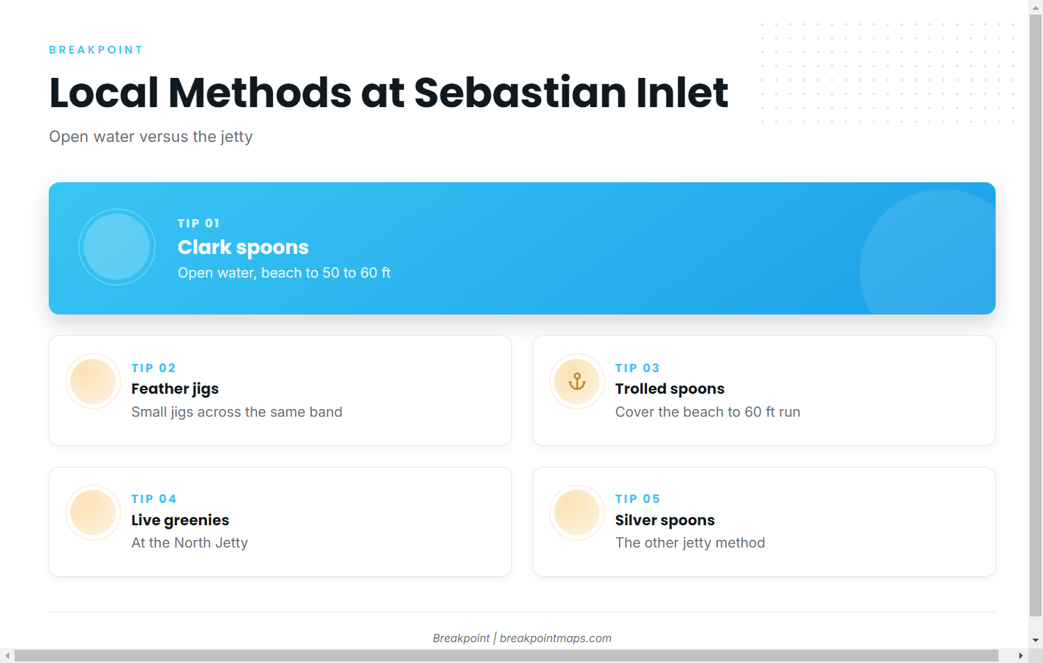
Local boats fish Clark spoons, small feather jigs and trolled spoons in open water, and live greenies and silver spoons at the jetty.
- Open water: Clark spoons, small feather jigs, trolled spoons
- At the jetty: live greenies, silver spoons
Clark spoons and feather jigs
Clark spoons and small feather jigs are the local open-water methods across the beach to 50 to 60 ft.
Trolled spoons
Trolled spoons cover the beach-to-60 ft band and let you search the water between the inlet and the reefs.
Live greenies and silver spoons at the jetty
At the North Jetty, the local methods are live greenies and silver spoons.
Who fishes Spanish mackerel from this port
Three local operations mark the port’s range: Big Easy, Spacefish and Nauti Girl.
- Big Easy: November and December notes describe the usual push south. The reef complex carries the name.
- Spacefish: The October report has fish at the North Jetty.
- Nauti Girl: Runs swordfish drops on the deep grounds, which shows the port’s offshore reach. For what the deep boats target, see our coastal and offshore gamefish guides.
FAQ: Spanish mackerel at Sebastian Inlet
When do Spanish mackerel show up at Sebastian Inlet?
From fall through winter. Big Easy’s November and December notes describe the usual push south.
How deep do boats fish for them?
From the beach out to 50 to 60 ft, with about 60 ft as the working depth.
Are they at the North Jetty?
Spacefish’s October report has them at the North Jetty, the close-in option at the inlet.
What lures do local boats use?
Clark spoons and small feather jigs, plus trolled spoons. At the jetty, live greenies and silver spoons.
How far are the Indian River County reefs?
The eight reefs sit in 65 ft, 11 to 12 miles east of Sebastian Inlet, just past the 50 to 60 ft band.
Live bait or spoons at the jetty?
Both are used. Local jetty methods are live greenies and silver spoons.
Quick answers on Spanish mackerel fishing out of Sebastian Inlet.