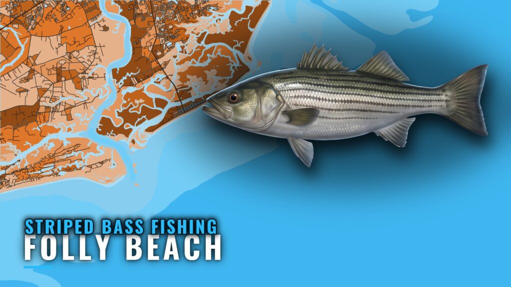
Striped bass at Folly Beach: a shore fishery
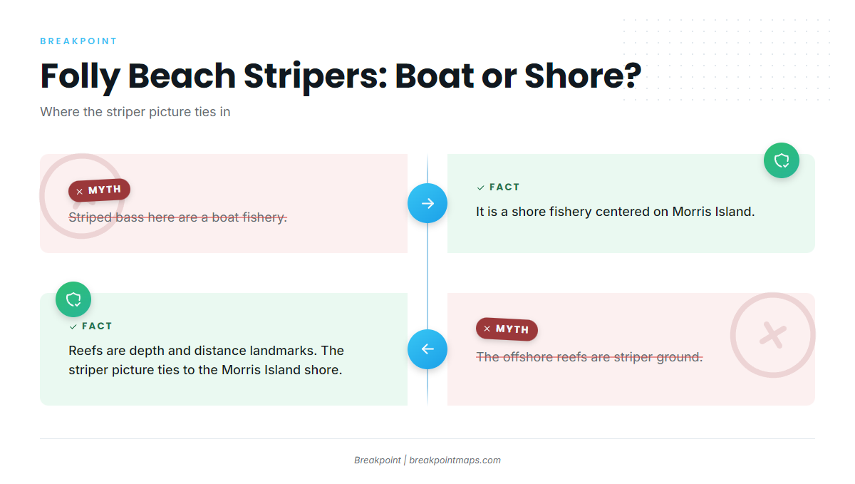
Striped bass fishing out of Folly Beach is a shore fishery centered on the Morris Island shore fishing area. A boat is useful mainly as transport to that shoreline, its channels and its bars. For the wider picture, see striped bass across the Southeast (see also the Atlantic Southeast fishing guide).
- Shore first: the fishery is worked from the Morris Island shoreline.
- Boat second: the boat gets you to the shore and its channels.
- Structure: sandbars and drop-offs define the water.
Who fishes for them
Shore anglers working Morris Island make up the core of this fishery. Boat owners fit in by running to the same shoreline and fishing its channels, sandbars and drop-offs.
When the fish are around
Timing here follows the species’ wider seasonal pattern. Our striped bass fishing guide covers it in full.
Where boats run from Folly Beach
Boats run north to the Morris Island shore and to the Charleston Harbor Jetties at the inlet. Both are short runs, and the point of each is reaching the right water rather than covering distance.
Morris Island shore and channels
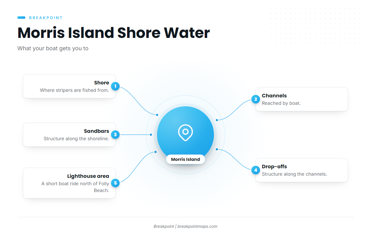
The target is the Morris Island shore and its channels, along with the sandbars and drop-offs beside them. The Morris Island Lighthouse area, a short boat ride north of Folly Beach, is the landmark for the run. The boat only provides access to shore-based water.
Charleston Harbor Jetties
The jetties sit at the Charleston Harbor inlet and serve as the reference point for the Capers Artificial Reef distance. For the harbor entrance, read the Coast Pilot harbor entrance notes.
Grounds and structure
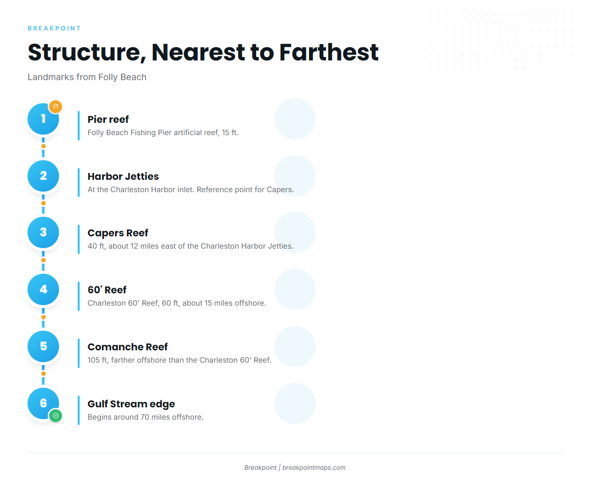
The structure below is listed from nearest to farthest. Chart layers are not for navigation.
| Order | Structure |
|---|---|
| 1 | Folly Beach Fishing Pier artificial reef |
| 2 | Charleston Harbor Jetties |
| 3 | Capers Artificial Reef |
| 4 | Charleston 60′ Reef |
| 5 | Comanche Reef |
| 6 | Gulf Stream edge |
Sandbars and drop-offs
Sandbars and drop-offs are the structure types along the Morris Island shore and its channels. They are the features to read on the water when fishing this shoreline.
Folly Beach Fishing Pier reef
The Folly Beach Fishing Pier artificial reef sits in 15 ft of water. It is the closest listed structure to the port.
Reefs and the Gulf Stream edge
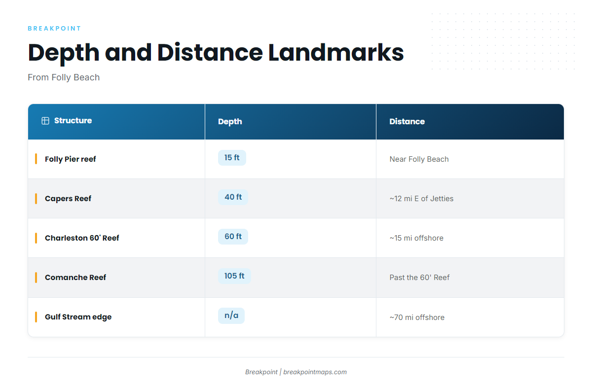
Capers, the Charleston 60′ Reef, Comanche Reef and the Gulf Stream edge are depth and distance landmarks from this port. The striper fishing here is tied to the Morris Island shore, not to these grounds.
| Structure | Depth | Distance/location |
|---|---|---|
| Folly Beach Fishing Pier artificial reef | 15 ft | |
| Capers Artificial Reef | 40 ft | About 12 miles east of the Charleston Harbor Jetties |
| Charleston 60′ Reef | 60 ft | About 15 miles offshore |
| Comanche Reef | 105 ft | Farther offshore than Charleston 60′ Reef |
| Gulf Stream edge | Begins around 70 miles offshore |
Before any run past the inlet, check wind and wave numbers on the NWS Charleston marine forecast. If you fish these grounds for other species, our coastal and offshore gamefish guides cover them.
How it is fished locally
Locally, striped bass are fished from shore. The boat reaches the Morris Island shoreline and its channels, and the fishing happens along that edge. Sandbars and drop-offs set the water you work.
FAQ: striped bass fishing out of Folly Beach
Can you catch striped bass at Folly Beach?
Striped bass are fished from the Morris Island shore, though fish are never guaranteed. The places to look are the shoreline, its channels, and the sandbars and drop-offs along it.
Is it a boat or shore fishery?
It is a shore fishery. The boat is transport to Morris Island, a short run north of Folly Beach.
Do stripers hold on the offshore reefs?
The reefs are depth and distance landmarks. Capers sits in 40 ft, the Charleston 60′ Reef in 60 ft and Comanche Reef in 105 ft. The striper fishing here is tied to the Morris Island shore, not to these grounds.
How far is the Gulf Stream edge?
It begins around 70 miles offshore. It is a landmark for this port and not striper ground.
Where are the rules?
The South Carolina Department of Natural Resources sets them. See the Regulations section above, and check with the agency before you fish.