Winter
Offshore
Long-leader rockfish seaward of the 40-fathom line, sablefish
Nearshore
Rockfish and lingcod when bar conditions allow, Dungeness crab




Oregon offshore fishing runs from the Columbia River bar to the California line, and the port you leave from decides most of the day. Eleven ports between Astoria and Brookings serve the coast, and each sits behind a river bar or a harbor entrance. Bar conditions and run distance to the grounds determine which fish a boat can reach. This page covers where to leave from, what runs when, and which rules apply where. Oregon is one stretch of the US West Coast we map. See all US coverage.
 By Breakpoint Team
The coast
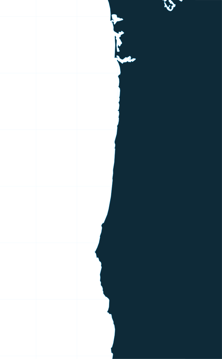
The Columbia River bar is the northern gateway. The river mouth concentrates salmon moving in, which is why Buoy 10 and the lower river draw a fleet. The ocean begins at a north-south line through Buoy 10, and waters north of Cape Falcon fall in the Columbia River halibut subarea. For how Oregon fits the wider Washington-to-Northern-California picture, see our Pacific Northwest fishing guide.
The coast from Tillamook Bay to Cape Kiwanda has nearshore reefs for black rockfish and lingcod. Cape Falcon is both a halibut subarea line and a marine reserve (details in the state and federal waters section below).
On the Central Coast, Stonewall Bank sits west of Newport and Heceta Bank lies farther south. Both put structure and deeper water within reach of Yaquina Bay. Stonewall Bank YRCA is closed to bottomfish and halibut; the full rule is below. Run distance from each bar determines which grounds a trailer boat can reach.
South of Cape Blanco the coast has reefs off Port Orford, the Rogue and the Chetco, and warm water can sit within range of the southern ports.
Albacore come within range when the warm, blue water edge pushes inshore. Watch the OBS SST layer for the temperature break and Chlorophyll for the color edge. Cloud can block a satellite pass, so a clear image is better than a stale one. Chart layers are not for navigation.
Ports
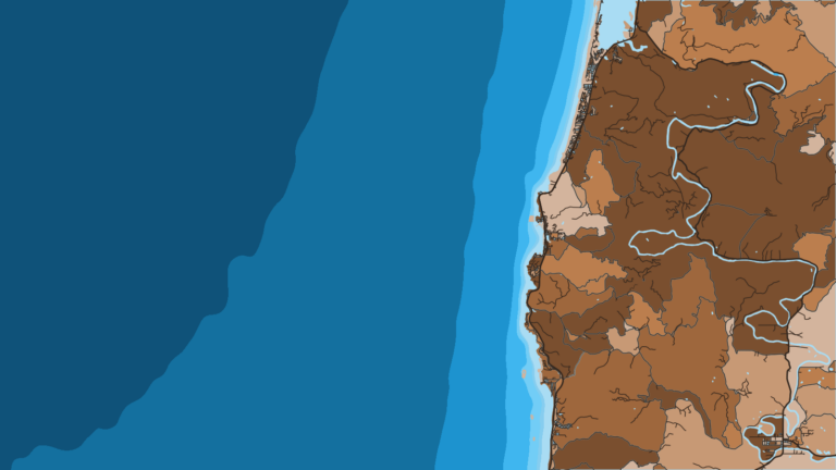
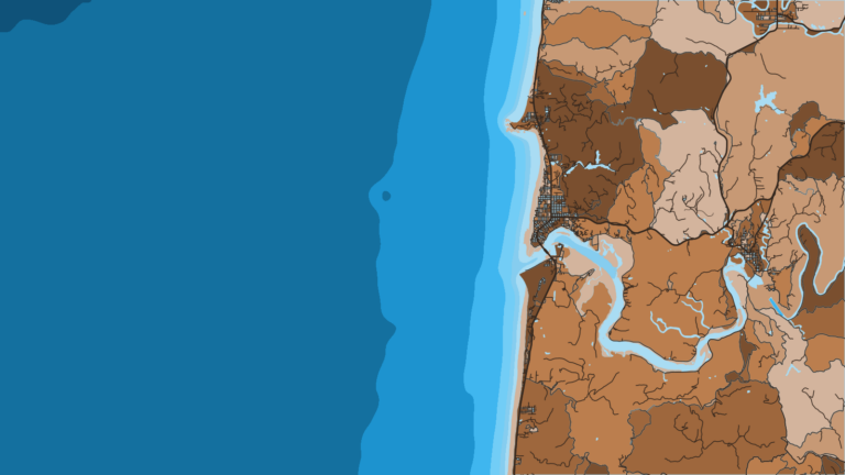
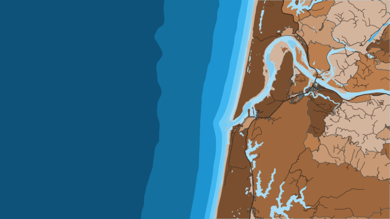
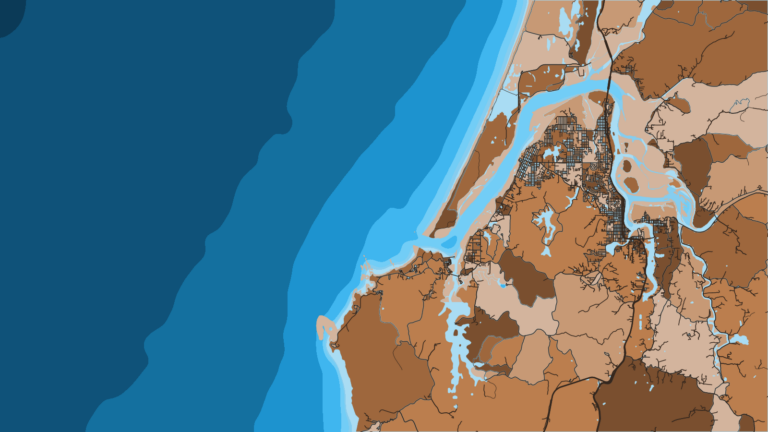
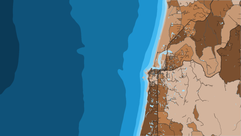
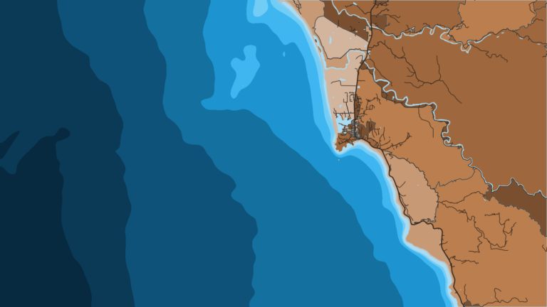
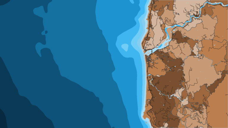
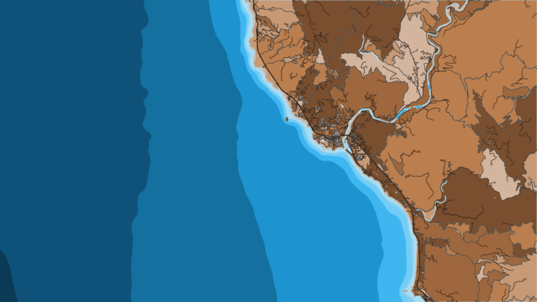
Tap a number on the map, or a stretch below, to zoom in on its ports.
3 ports
Three ports cover the stretch from the Columbia River bar to the cape where dories launch off the beach.
2 ports
Two harbors give the shortest access to the Central Coast reefs and banks.
3 ports
Three river bars, the Umpqua, Coos Bay and Coquille, serve this stretch.
3 ports
Humbug Mountain, between Port Orford and Gold Beach, marks the line between the Central Coast and Southern Oregon halibut subareas.
Seasons
What tends to be around each season. Open seasons are covered under Regulations.
Offshore
Long-leader rockfish seaward of the 40-fathom line, sablefish
Nearshore
Rockfish and lingcod when bar conditions allow, Dungeness crab
Offshore
Halibut openers start (see ODFW), long-leader rockfish
Nearshore
Bottomfish, salmon per the PFMC season
Offshore
Albacore when warm water reaches range, all-depth halibut per quota, salmon
Nearshore
Bottomfish, nearshore halibut inside 40 fathoms, cabezon retention opens Jul 1
Offshore
Albacore while warm water holds, summer all-depth halibut until the quota is caught
Nearshore
Buoy 10 and estuary salmon, bottomfish, crab
Quota closures and water temperature move these dates from year to year, so treat this as a planning guide and check with the agency before you go.
Temperature breaks and color edges shift with wind and current. In Breakpoint, these three layers show those edges and the bottom structure near them.
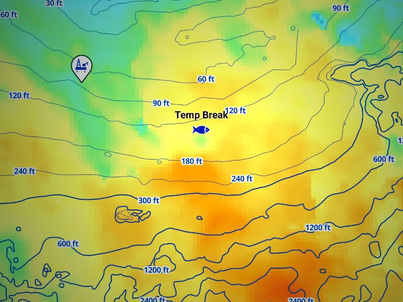
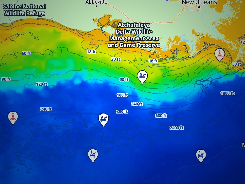
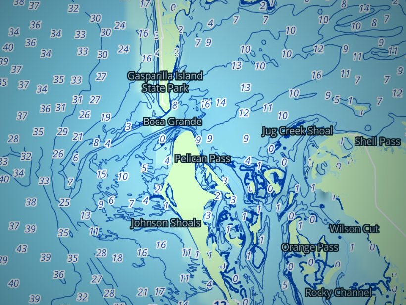
Clouds block satellite SST passes, so some days show gaps. Chart layers are not for navigation.
Charters and tournaments
Regulations
Full state rules by species are on our Oregon regulations page. Check the ODFW marine zone regulations before every trip, because bag limits can change in-season.
Oregon fishing falls under two sets of rules, and the numbered points below explain where they meet.
Licensing basics:
Gear and retention rules:
The Pacific Fishery Management Council sets ocean salmon seasons each year, and ODFW publishes them on its ocean salmon page. The Ocean Salmon Hotline is (800) 662-9825.
The general marine limit, lingcod and canary limits are all on ODFW’s bottomfish seasons page. Halibut dates and quotas are on ODFW’s halibut page. We do not print figures here because they change. Confirm the current rule with ODFW before you leave the dock.
FAQ
Official answers come from the state wildlife agency and NOAA Fisheries. Check them before you go.
It depends on the fish and the boat. For albacore, look at Newport, Charleston, Brookings or Garibaldi, depending on where warm water sits. Newport is the pick for offshore halibut and the banks. Depoe Bay, Pacific City (dory) and Port Orford (hoist) suit nearshore bottomfish on short runs. Astoria is the salmon port for Buoy 10. Trailer boats should weigh the bar and the run distance.
Yes. You need an Oregon angling license, an Ocean Endorsement to keep marine finfish, and a Combined Angling Tag for salmon or halibut. Youth under 12 do not need a license, and the tag applies to every age. Check ODFW for current fees.
Wind, wave height, swell period and the tide stage relative to the ebb decide a crossing. Check the Coast Guard bar restrictions, which can close a bar to recreational boats, and the NWS marine forecast. Read the numbers and make the call from there.
They arrive when the warm, blue water edge moves within range, usually summer into fall. Exact months shift with the water. Watch OBS SST for the temperature break and Chlorophyll for the color edge. Cloud cover can block a pass, so check the image date.
At Cape Falcon and Humbug Mountain, the subarea lines. The rules of the port where you land the fish apply, wherever it was caught. Seasons run as all-depth or nearshore. Check ODFW for the open days and call the NOAA hotline at (800) 662-9825.
The Oregon Tuna Classic is held at Garibaldi. Check the organizer for dates and rules.
Ranked hotspots, live ocean layers and offline maps.
Open Breakpoint