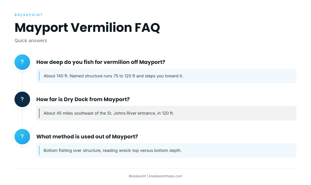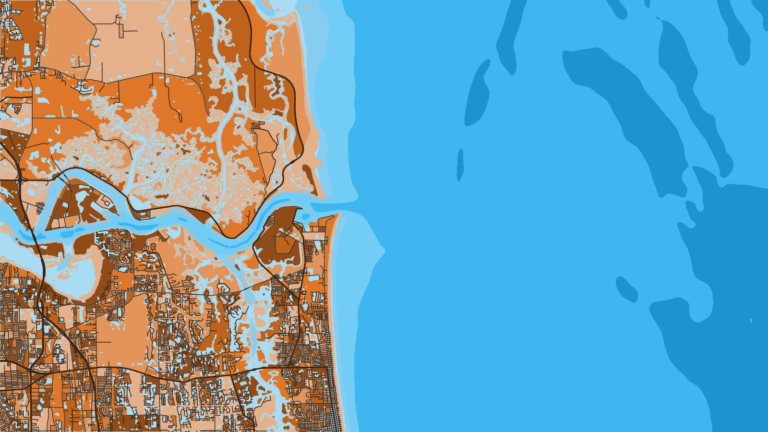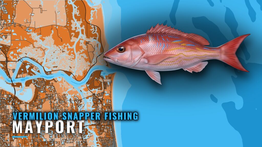
Vermilion snapper fishing out of Mayport is bottom fishing in about 140 ft of water, and the named grounds below work you out toward that depth. This guide gives depths, wreck-top versus bottom figures and FWC coordinates for 8 named grounds off Northeast Florida. Detail on the inlet, launch and conditions is in the Mayport port guide. For a nearshore boat, the progression runs from the 75 to 80 ft FWC sites, through 110 to 120 ft structure, toward the 140 ft target. The wider picture is in the vermilion snapper fishing in the Atlantic Southeast and the Atlantic Southeast fishing guide.
When vermilion are around off Mayport
Vermilion, also called beeliner, are a bottom fish worked off Mayport in about 140 ft of water. For timing and biology across the species’ range, see the vermilion snapper guide.
How far boats run from the St. Johns River entrance
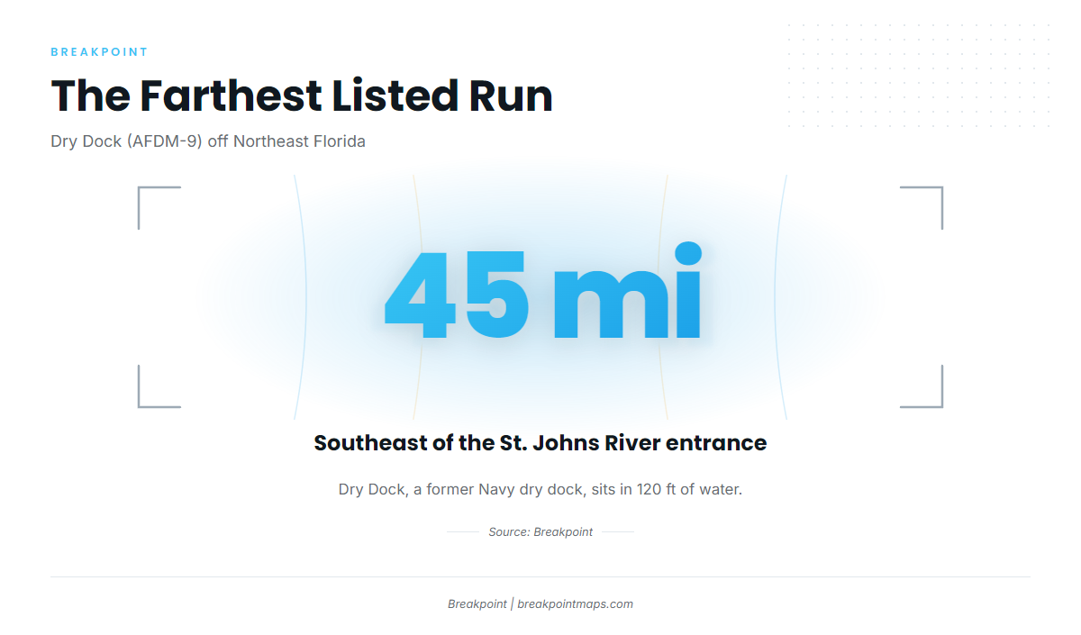
The target depth is about 140 ft. The farthest ground on this page is Dry Dock (AFDM-9, a former Navy dry dock), in 120 ft about 45 miles southeast of the St. Johns River entrance.
Work out fuel and range from your boat’s burn rate and tank capacity for a 45-mile run each way. Check the official marine forecast for Northeast Florida before you leave, and read the wind and wave numbers yourself.
Grounds and structure off Mayport
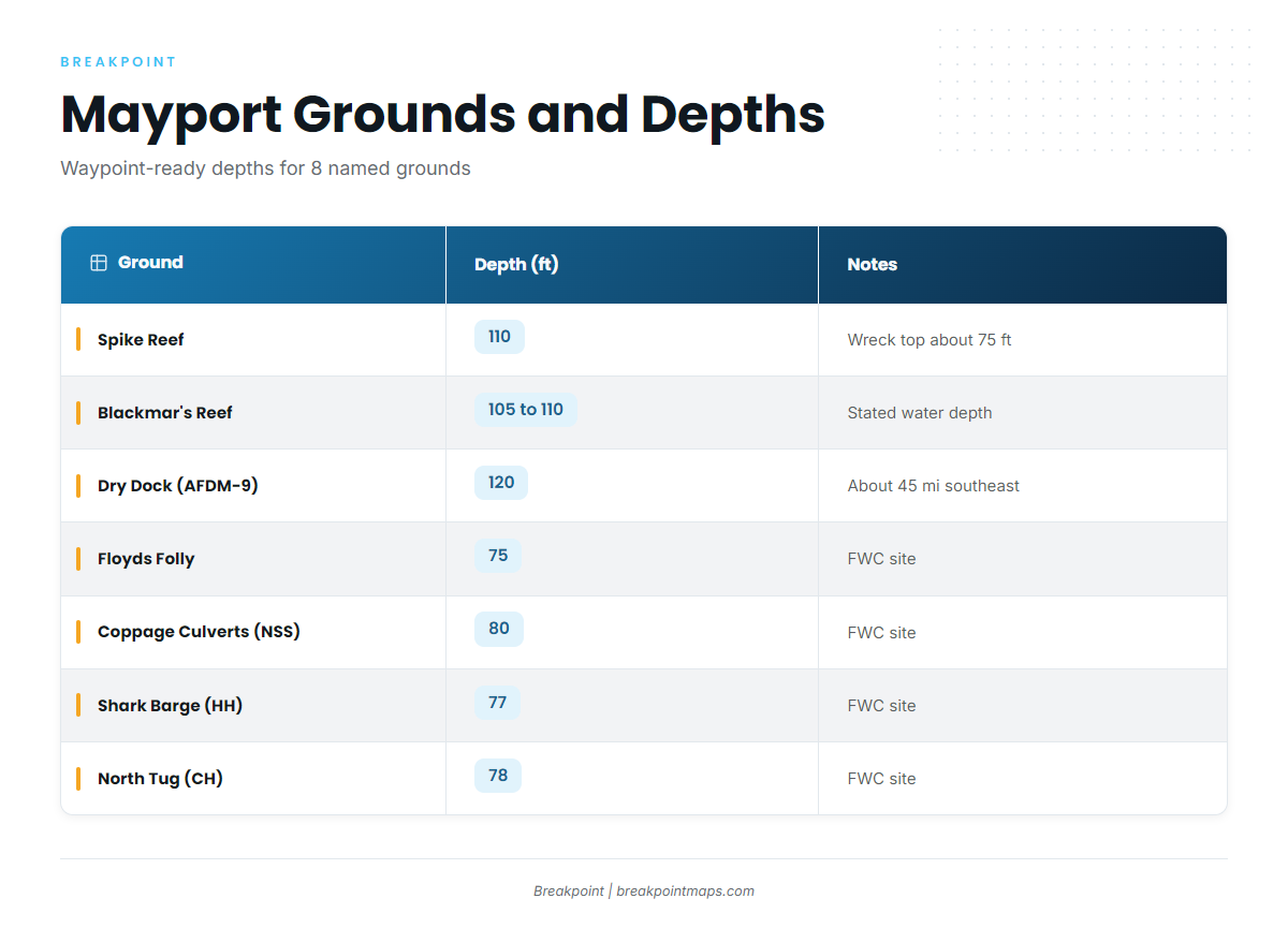
The grounds run from 75 ft FWC sites out to 120 ft structure, stepping toward the 140 ft target.
| Ground | Depth (ft) | Notes/Position |
|---|---|---|
| Spike Reef | 110 | Bottom about 110 ft, wreck top about 75 ft |
| Blackmar’s Reef | 105 to 110 | Water depth stated as 105 to 110 ft |
| Nine Mile Reef | ||
| Dry Dock (AFDM-9) | 120 | Former Navy dry dock, about 45 miles southeast of the St. Johns River entrance |
| Floyds Folly | 75 | 30 10.034 N, 81 09.322 W (FWC table) |
| Coppage Culverts (NSS Site) | 80 | 30 17.296 N, 80 57.598 W (FWC table). Not the Coppedge Tug |
| Shark Barge (HH Site) | 77 | 30 00.950 N, 81 04.718 W (FWC table) |
| North Tug (CH Site) | 78 | 30 18.560 N, 81 04.150 W (FWC table) |
Chart and coordinate data here are not for navigation.
Deeper structure: Spike Reef, Blackmar’s Reef and Dry Dock
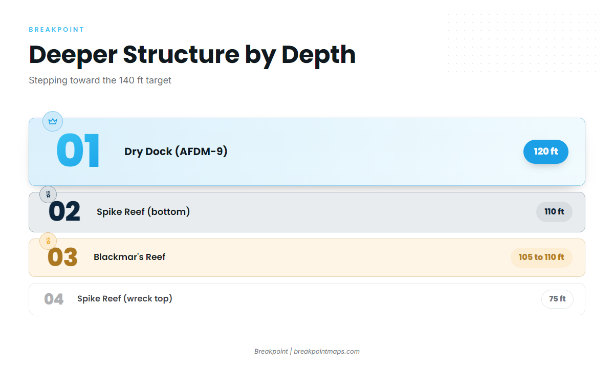
At Spike Reef the wreck top is about 75 ft over a bottom of about 110 ft, so watch the sounder for 35 ft of relief.
Blackmar’s Reef sits in 105 to 110 ft. Dry Dock (AFDM-9) sits in 120 ft, about 45 miles southeast. It is the deepest listed ground and the closest to the 140 ft target.
FWC sites at 75 to 80 ft
Four FWC-listed sites make good nearshore starting points, all well inside the 140 ft target:
- Floyds Folly, 75 ft
- NSS Site (Coppage Culverts), 80 ft
- HH Site (Shark Barge), 77 ft
- CH Site (North Tug), 78 ft
Keep the names straight when you build waypoints. Coppage Culverts is the NSS Site in 80 ft. The Coppedge Tug is a separate listing in shallow water, so don’t merge the two waypoints.
Nine Mile Reef
Nine Mile Reef is a named ground off Mayport.
How vermilion are fished locally
The method is bottom fishing. Hold the boat over the structure and read wreck-top depth against bottom depth. The Spike Reef relief, about 75 ft on top of about 110 ft, is the pattern to look for on the other grounds.
Private boats running their own trips bottom fish these grounds. For general tackle and bait, see the reef fish guides.
FAQ about vermilion snapper fishing out of Mayport
How deep do you fish for vermilion off Mayport?
About 140 ft. The named structure runs 75 to 120 ft and steps toward that depth.
How far is Dry Dock from Mayport?
About 45 miles southeast of the St. Johns River entrance, in 120 ft. It is a former Navy dry dock, AFDM-9.
What is the difference between Coppage Culverts and the Coppedge Tug?
Coppage Culverts is the NSS Site in 80 ft at 30 17.296 N, 80 57.598 W (FWC table). The Coppedge Tug is a separate listing in shallow water.
What method is used for vermilion snapper fishing out of Mayport?
Bottom fishing over the structure, reading wreck-top depth against bottom depth.
Where do I find the rules?
The FWC rules, through the Florida regulations page. Check them before you fish.