Vermilion snapper out of Pascagoula
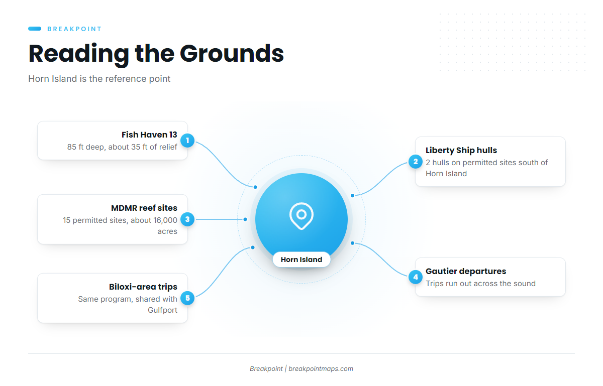
Vermilion snapper fishing out of Pascagoula centers on a short list of built structure south of Horn Island: Fish Haven 13, two former Liberty Ship hulls, and the permitted reef sites of the Mississippi Department of Marine Resources (MDMR). Each is covered below with the numbers that matter for deciding where to look. The wider picture is in the vermilion snapper fishing in the Gulf of Mexico and the Gulf of Mexico fishing guide.
For passes, channels and local conditions, see the Pascagoula port guide. This page covers the fish and the structure.
Private boats
This page is written for anglers running their own boats to named structure. The structure listed below tells you where to go, and the marine forecast tells you whether conditions allow the run.
Charters that list vermilion
Pier Pressure Charters LLC, run by Captain David Burlison, is a local charter that lists vermilion snapper.
Where boats run
Trips for this water run out of Gautier and the Biloxi area. The structure lies across the sound and offshore, with the Liberty Ship hulls south of Horn Island, which serves as the reference point for the run.
Gautier departures
Gautier is the departure area for runs to the structure beyond Horn Island.
Biloxi-area trips
Biloxi-area boats work the same offshore program. The MDMR offshore sites are shared with Gulfport, so boats from along the coast fish the same structure.
Reading conditions before the run
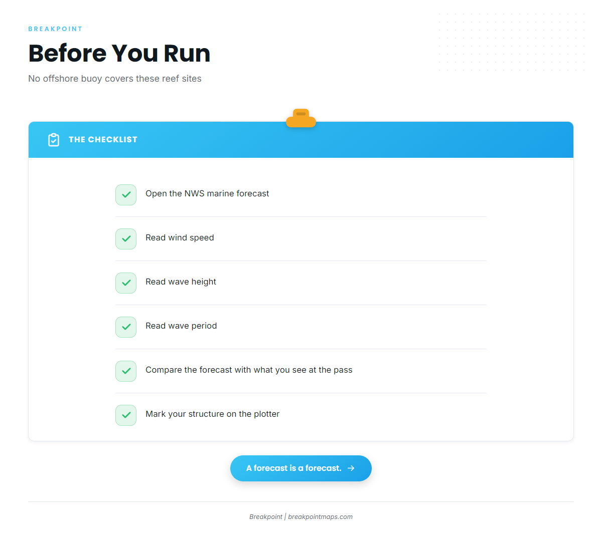
No active NDBC buoy reports conditions on these reef sites. Check wind speed, wave height and wave period in the NWS Mobile marine forecast before leaving the dock, then compare those numbers with what you see at the pass.
Three things set the timing of a trip from this port: the run across the sound, the line past Horn Island, and the forecast numbers.
Grounds and structure
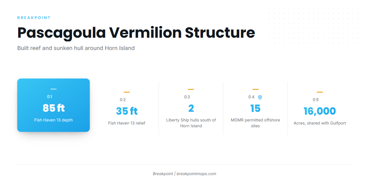
Pascagoula’s vermilion structure consists of built reef and sunken hulls, all described relative to Horn Island. For the wider reef fish picture, see the Gulf reef fish guides.
| Ground | Location reference | Depth | Relief |
|---|---|---|---|
| Fish Haven 13 | Offshore structure | 85 ft | about 35 ft |
| 2 former Liberty Ship hulls | Permitted reef sites south of Horn Island | ||
| MDMR permitted offshore reef sites | 15 sites, about 16,000 acres, shared with Gulfport |
The Chart Contours layer shows the bottom around the permitted sites. Chart layers are not for navigation.
Fish Haven 13
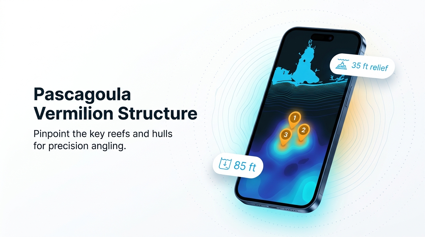
Fish Haven 13 sits in 85 ft of water with about 35 ft of relief off the bottom. Mark that relief on your plotter.
Liberty Ship hulls south of Horn Island
Two former Liberty Ship hulls sit on permitted reef sites south of Horn Island.
Horn Island as the reference point
The offshore runs and the Liberty Ship sites are described against the barrier island, so treat it as the fixed point and work outward from it.
MDMR permitted offshore reef sites
MDMR permits 15 offshore reef sites covering about 16,000 acres, shared with Gulfport. The MDMR artificial reef program publishes their coordinates.
How it is fished locally
Local vermilion fishing is structure fishing. Fish Haven 13 offers about 35 ft of relief to work, the hulls south of Horn Island add wreck structure, and the permitted reef sites spread more bottom across the program. Mark the structure and fish it.
Tackle and general seasonality are covered in the vermilion snapper species guide.
FAQ: vermilion snapper fishing out of Pascagoula
How deep is Fish Haven 13?
Fish Haven 13 sits in 85 ft, with about 35 ft of relief off the bottom.
Where are the Liberty Ship reefs?
Two former Liberty Ship hulls sit on permitted reef sites south of Horn Island.
How many MDMR offshore reef sites are there?
There are 15 permitted offshore sites covering about 16,000 acres, shared with Gulfport.
Which Pascagoula charter lists vermilion snapper?
Pier Pressure Charters LLC, with Captain David Burlison, lists vermilion snapper.
Where do I check conditions before running?
Use the NWS marine forecast for wind speed, wave height and wave period. No active NDBC buoy reports from these reef sites.
Where are the vermilion rules?
MDMR sets the rules in Mississippi waters, and federal rules apply in federal waters. The Regulations section above points to both.