Wahoo off Corpus Christi
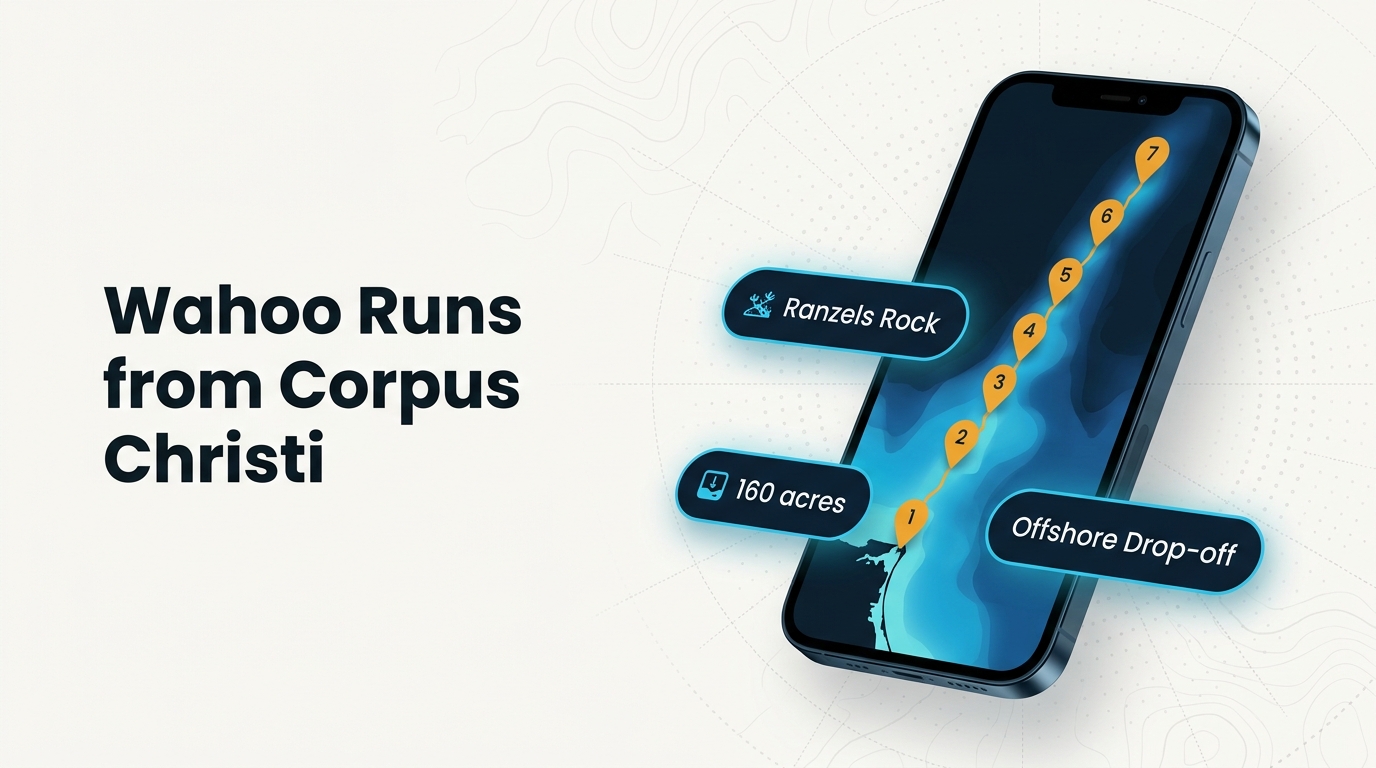
Wahoo fishing out of Corpus Christi covers reefs a few miles off the barrier islands and structure about 65 miles southeast. Packery Channel and Port Aransas are the reference points. Conditions, passes and ramps are on the Corpus Christi port page.
The grounds below are listed from shortest run to longest.
Who fishes for them
Private boats running offshore from this port fish wahoo alongside kingfish and the other offshore gamefish. A wahoo trip here is an offshore trip first.
Timing
Local timing isn’t broken out by month. The Gulf-wide timing is in our wahoo fishing Gulf of Mexico guide (see also the Gulf of Mexico region guide).
How they are fished here
Wahoo are usually fished as part of a broader offshore trip. For trolling and rigging detail, see trolling and rigging for wahoo.
Nearshore reefs off the barrier islands
These sites sit a few miles off the barrier islands, between or near the passes, and are the shortest runs on the page.
- Lonestar Reef: a few miles out
- Boatmen’s Reef: a few miles out
- TPWD nearshore reef: 160 acres, 70 ft
- Corpus Christi Reef Site: TPWD nearshore site
TPWD nearshore reef
This reef covers 160 acres in 70 ft of water, in state waters between Packery Channel and Port Aransas. Texas Parks and Wildlife Department built and maintains it. The TPWD artificial reef program covers the state’s reef sites.
Corpus Christi Reef Site
Corpus Christi Reef Site is a TPWD nearshore reef site off Corpus Christi.
Lonestar Reef
Lonestar Reef sits a few miles out from the barrier islands.
Boatmen’s Reef
Boatmen’s Reef also sits a few miles out from the barrier islands. Along with Lonestar Reef, it is among the shortest runs on the page.
Rigs, rock and banks farther out
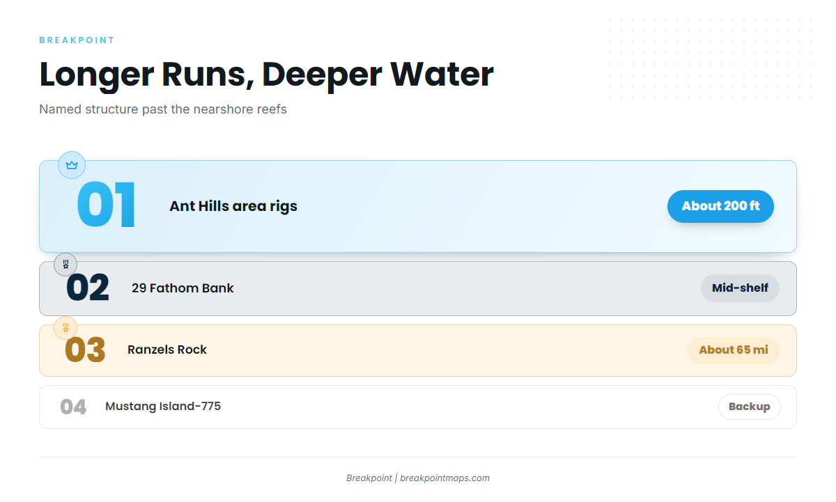
Past the nearshore reefs, the named structure moves into deeper water. Depth increases first, then distance.
- Ant Hills area rigs: about 200 ft
- 29 Fathom Bank: mid-shelf
- Ranzels Rock: about 65 miles southeast
- Mustang Island-775: backup spot
Ant Hills area rigs
The Ant Hills area oil rigs are fished in about 200 ft of water.
29 Fathom Bank
29 Fathom Bank is a mid-shelf bank.
Ranzels Rock
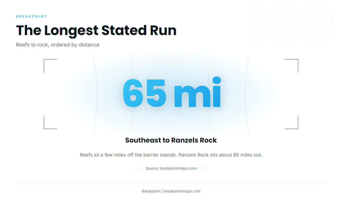
Ranzels Rock sits about 65 miles southeast of Corpus Christi, the longest stated run on the page. A run that long affects fuel and time planning.
Mustang Island-775
Mustang Island-775 is a backup spot.
Planning the run
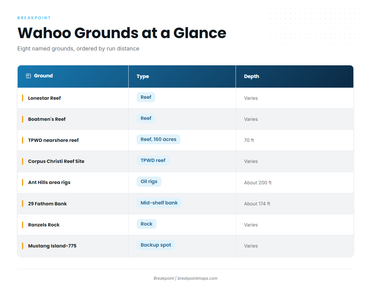
For wahoo out of Corpus Christi, the main variable is run distance. The table lines up the grounds.
| Ground | Type | Depth | Distance/Location |
|---|---|---|---|
| Lonestar Reef | Reef | A few miles out from the barrier islands | |
| Boatmen’s Reef | Reef | A few miles out from the barrier islands | |
| TPWD nearshore reef | Reef, 160 acres | 70 ft | State waters between Packery Channel and Port Aransas |
| Corpus Christi Reef Site | TPWD nearshore reef | ||
| Ant Hills area rigs | Oil rigs | About 200 ft | |
| 29 Fathom Bank | Mid-shelf bank | ||
| Ranzels Rock | Rock | About 65 miles southeast of Corpus Christi | |
| Mustang Island-775 | Backup spot |
Depth around these grounds can be checked with the Chart Contours layer in Breakpoint, and reef positions are in TPWD’s interactive reef locator. Chart layers are not for navigation.
Conditions
No working NOAA buoy station reports for Corpus Christi. Use the National Weather Service marine forecast for conditions, and check wind, wave height and period against it before committing to the longer runs.
FAQ: wahoo fishing out of Corpus Christi
How far is Ranzels Rock from Corpus Christi?
Ranzels Rock is about 65 miles southeast of Corpus Christi.
How deep is the water at the Ant Hills area rigs?
The Ant Hills area oil rigs are fished in about 200 ft of water.
What is the TPWD nearshore reef off Corpus Christi?
It is a 160-acre TPWD reef in 70 ft of water, in state waters between Packery Channel and Port Aransas.
Where are Lonestar Reef and Boatmen’s Reef?
Both sit a few miles out from the barrier islands.
Is there a NOAA buoy for Corpus Christi?
No working NOAA buoy station reports for Corpus Christi, so conditions come from the official National Weather Service marine forecast.
What is Mustang Island-775?
Mustang Island-775 is a backup spot.