When wahoo are around Port St. Joe
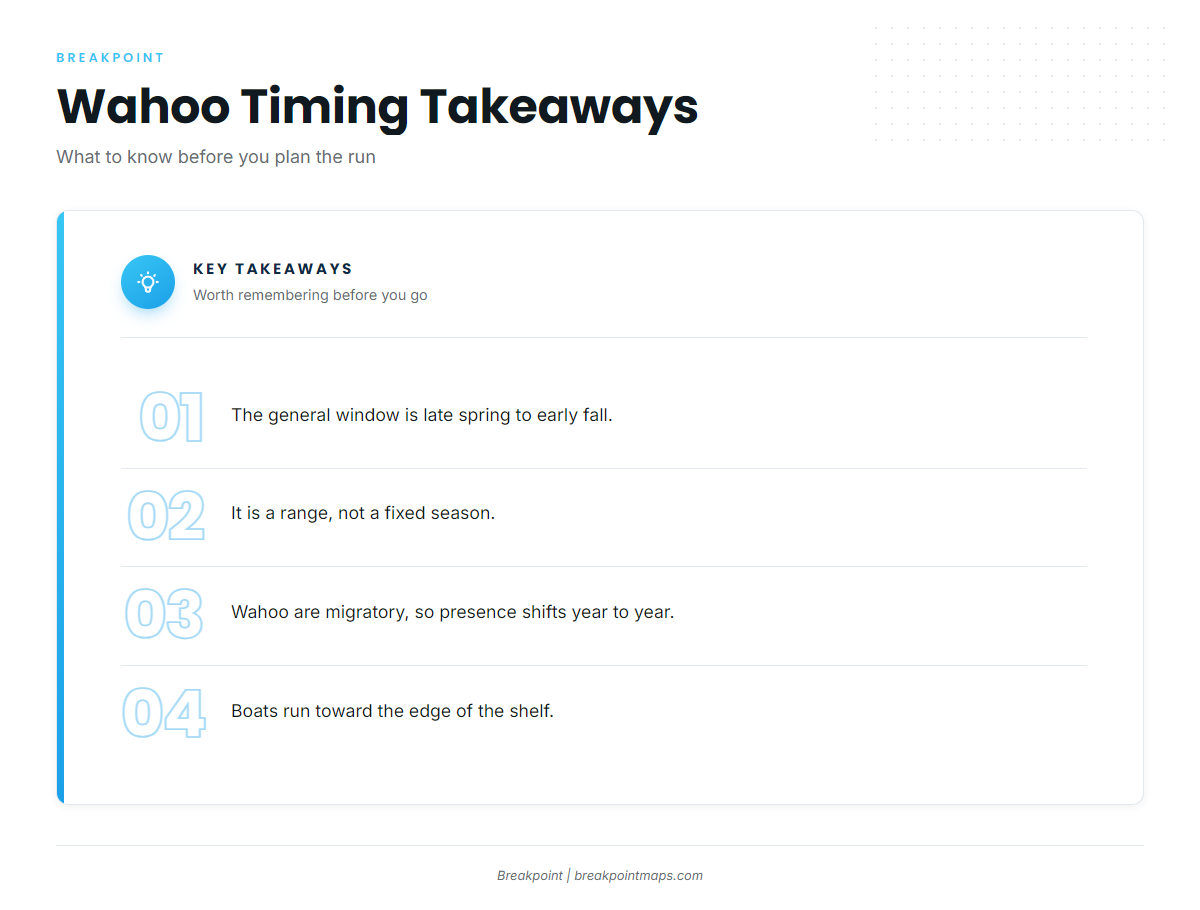
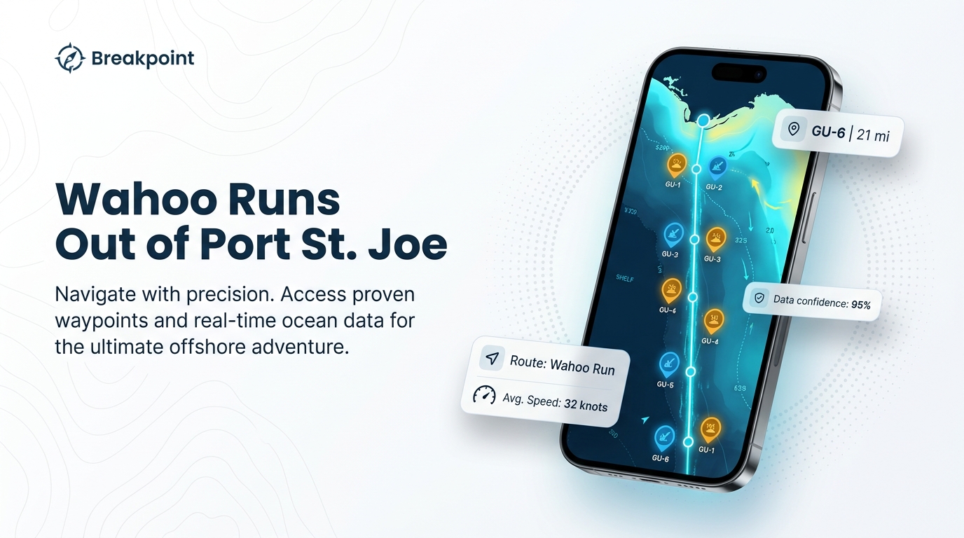
Wahoo fishing out of Port St. Joe generally runs from late spring to early fall, according to a Port St. Joe angler guide (a low-confidence source). Boats head toward the edge of the shelf, and the Empire Mica wreck sits 21 miles due south of Cape San Blas. For getting out of St. Joseph Bay, see our Port St. Joe port page.
That window is a range rather than a fixed season. Wahoo are a migratory species, so when they show up inside the window changes from year to year. Use the dates for planning, and don’t count on them.
Biology and behavior are covered in our wahoo fishing guide.
Where boats run
Boats head toward the edge of the shelf. For regional context on how the northern Gulf fits together, see wahoo fishing in the Gulf (see also the wider Gulf of Mexico guide).
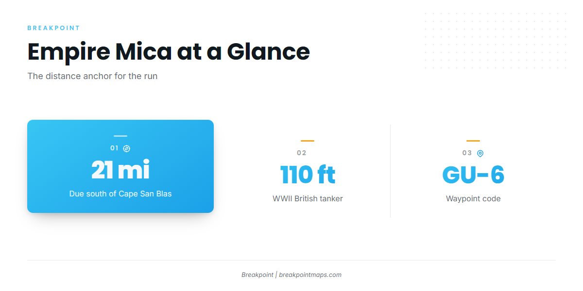
The Empire Mica is the distance anchor. It lies in 110 ft of water, 21 miles due south of Cape San Blas. Port Saint Joe tides are read from NOAA tide station 8728912. No NOAA buoy is confirmed for this run.
Before heading out, check wind, wave height and period against the official marine forecast, and plan from those numbers.
| Run reference | Value |
|---|---|
| Direction | Toward the edge of the shelf |
| Distance anchor | Empire Mica, 21 miles due south of Cape San Blas |
| Depth anchor | Empire Mica, 110 ft |
| Tide reference | NOAA tide station 8728912 |
Grounds and structure off Port St. Joe
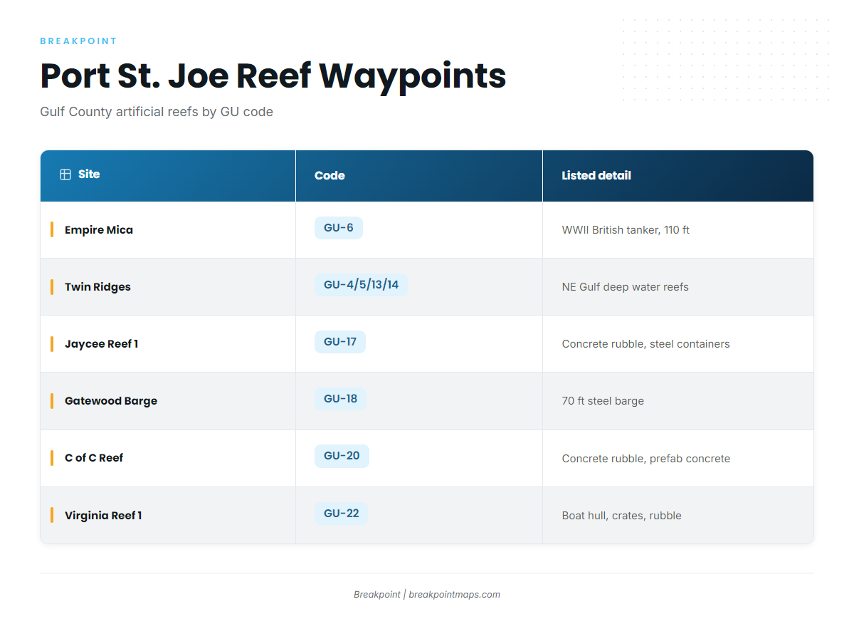
The sites below are Gulf County artificial reefs, each with a GU code. Load the GU codes as waypoints and check them against current charts. Chart layers are not for navigation.
Empire Mica (GU-6)
A WWII British tanker in 110 ft of water, 21 miles due south of Cape San Blas. It is the farthest-out named site on this list and sets the scale of the run.
Twin Ridges (GU-4, GU-5, GU-13, GU-14)
Four sites, NE, SE, NW and SW, listed as northeast Gulf deep water reefs.
Gatewood Barge (GU-18)
A 70 ft steel barge.
Jaycee Reef 1 (GU-17)
Concrete rubble and steel containers.
C of C Reef (GU-20)
Concrete rubble and prefabricated concrete.
Virginia Reef 1 (GU-22)
Boat hull, metal crates and concrete rubble.
Pompano Point (GU-15) and LST Port St Joe (GU-21)
Two more named sites: Pompano Point is GU-15 and LST Port St Joe is GU-21.
| Site | Code | Listed detail |
|---|---|---|
| Empire Mica | GU-6 | WWII British tanker, 110 ft, 21 miles due south of Cape San Blas |
| Twin Ridges NE, SE, NW, SW | GU-4, GU-5, GU-13, GU-14 | Northeast Gulf deep water reefs |
| Pompano Point | GU-15 | |
| Jaycee Reef 1 | GU-17 | Concrete rubble and steel containers |
| Gatewood Barge | GU-18 | 70 ft steel barge |
| C of C Reef | GU-20 | Concrete rubble and prefabricated concrete |
| LST Port St Joe | GU-21 | |
| Virginia Reef 1 | GU-22 | Boat hull, metal crates and concrete rubble |
How wahoo are fished here
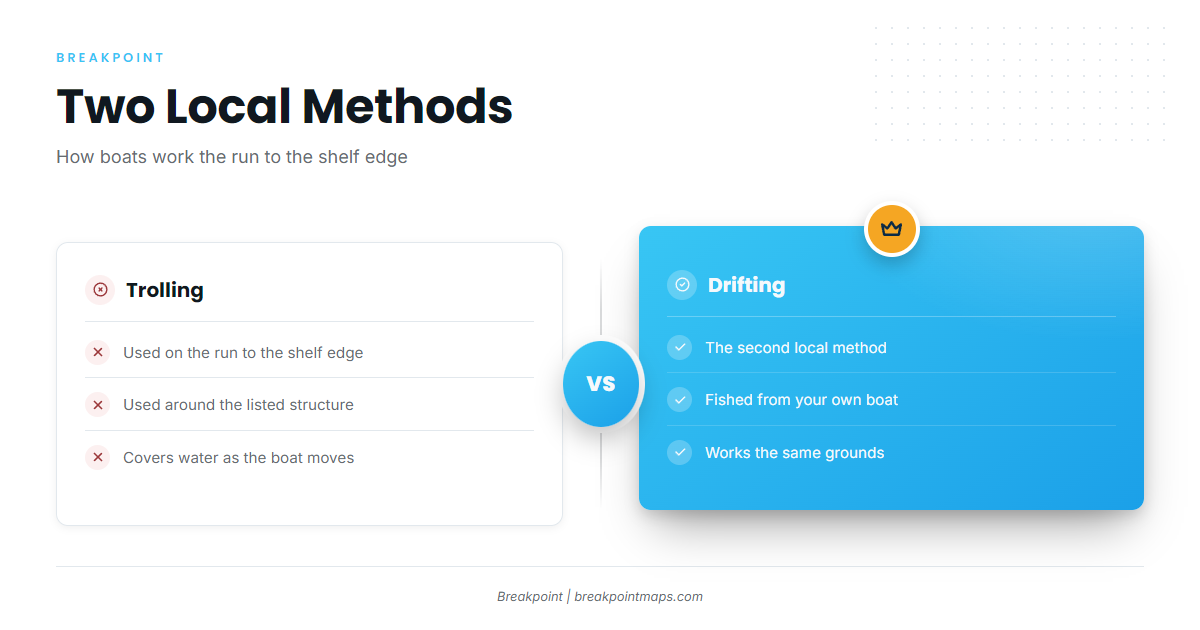
Local anglers troll and drift. For the wider offshore picture, see our offshore gamefish guides.
Trolling
Trolling is used on the run toward the shelf edge and around the listed structure. It lets you cover water between the sites on the way out.
Drifting
Drifting is the second local method, and the other way boats work these grounds.
Who fishes them
These grounds are fished by anglers running their own boats out of Port St. Joe toward the shelf edge. The run is a private-boat trip, planned from the numbers above.
FAQ
When is wahoo season out of Port St. Joe?
Late spring to early fall, as a general window. Wahoo presence shifts year to year.
How far is the Empire Mica from Cape San Blas?
21 miles due south of Cape San Blas. Its code is GU-6.
What is the Empire Mica wreck depth?
110 ft. It is a WWII British tanker.
What are the Twin Ridges reefs?
Four sites, NE, SE, NW and SW (GU-4, GU-5, GU-13, GU-14), listed as northeast Gulf deep water reefs.
What methods are used for wahoo locally?
Trolling and drifting, with boats running toward the edge of the shelf.