When yellowfin are off Corpus Christi
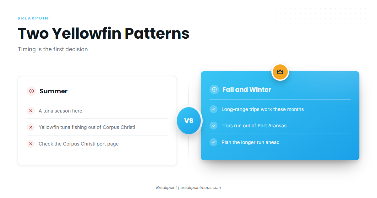
Yellowfin tuna fishing out of Corpus Christi has two seasonal windows, and the sources disagree on timing. The Corpus blog points to summer as the tuna season. The Port Aransas guide puts long-range trips in fall and winter. Plan around both windows rather than trusting one.
Ramps, inlets and nearby ports are on the Corpus Christi port page. For wider seasonal patterns, read yellowfin timing across the Gulf (see also the Gulf of Mexico fishing guide).
Where boats run out of Corpus Christi
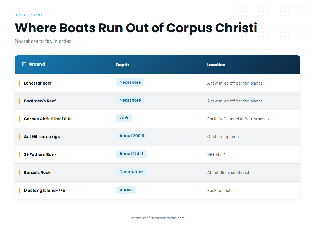
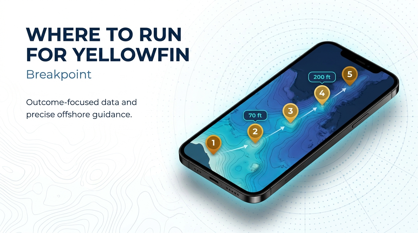
Boats from the Padre Island side leave through Packery Channel. Others run from Port Aransas. The grounds below are listed from nearest to farthest, and the run gets longer with each step.
| Ground | Depth | Location |
|---|---|---|
| Lonestar Reef | A few miles off the barrier islands | |
| Boatmen’s Reef | A few miles off the barrier islands | |
| Corpus Christi Reef Site (TPWD nearshore reef) | 70 ft | Between Packery Channel and Port Aransas, 160 acres, state waters |
| Ant Hills area oil rigs | About 200 ft | |
| 29 Fathom Bank | Mid-shelf | |
| Ranzels Rock | About 65 miles southeast of Corpus Christi | |
| Mustang Island-775 | Backup spot |
Nearshore reefs
Lonestar Reef and Boatmen’s Reef sit a few miles out from the barrier islands.
The Corpus Christi Reef Site is the TPWD nearshore reef, covering 160 acres in 70 ft of state waters between Packery Channel and Port Aransas. The Texas artificial reef program lists the site, and you can load waypoints from the TPWD reef locator map.
Rigs and banks
The Ant Hills area oil rigs are fished in about 200 ft, deeper than the 70 ft of the nearshore reef. 29 Fathom Bank is a mid-shelf bank.
Ranzels Rock
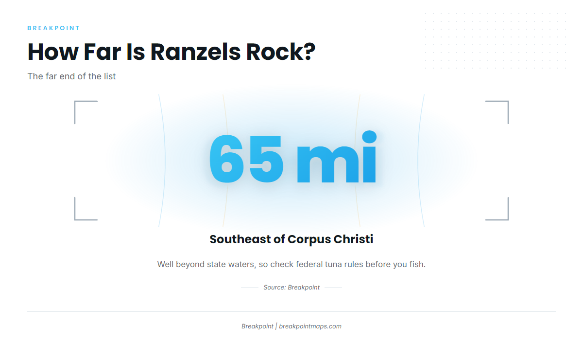
Ranzels Rock sits about 65 miles southeast of Corpus Christi, the farthest ground on this list and well beyond state waters.
Backup spot
Mustang Island-775 is named as a backup spot only.
How yellowfin are fished and who fishes for them
The sources used here don’t describe local methods for Corpus Christi. Technique carries over from the wider fishery, and our yellowfin technique page covers it.
Owner-operators working from Packery Channel and Port Aransas can reach all of the grounds above. Long-range trips out of Port Aransas run in fall and winter. For other tuna species and ports, see our tuna guides.
Check OBS SST and Chart Contours before the run. Chart layers are not for navigation.
Reading conditions from Corpus
No working NOAA buoy station is confirmed for Corpus Christi waters. Read the NWS Corpus Christi marine forecast before the run and note three numbers:
- Wind speed
- Wave height
- Wave period
FAQ
When is yellowfin season out of Corpus Christi?
The sources conflict. The Corpus blog names summer as tuna season, while the Port Aransas guide places long-range trips in fall and winter.
How far is Ranzels Rock from Corpus Christi?
About 65 miles southeast of Corpus Christi, in federal waters.
How deep are the Ant Hills oil rigs?
The Ant Hills area oil rigs are fished in about 200 ft.
Is there a NOAA buoy for Corpus Christi?
No working station is confirmed. Read the NWS marine forecast for wind, wave height and period before the run.
What is Mustang Island-775?
It is named as a backup spot and nothing more.