When yellowfin are around Montauk
Yellowfin tuna fishing out of Montauk means a run offshore toward West Atlantis. The clearest local marker for timing is the Montauk Canyon Challenge, usually held in July. This page names the grounds, the buoy to read, and where the rules live. It can’t promise fish, but it should help you decide where to look.
The Montauk Canyon Challenge window
When a fleet is targeting tuna out of this port in July, local captains are telling you when they expect fish offshore. Treat the tournament as a timing marker, not a guarantee.
Beyond this port
Temperature preferences, behavior, and the wider seasonal pattern belong to the species picture. Our yellowfin tuna guide covers them for every port, so this page stays with Montauk.
The run toward West Atlantis
Montauk boats run offshore toward West Atlantis. Plot that heading before you leave the dock.
Heading offshore
Plot West Atlantis on your own chart and measure the run against your own boat. Check the route for traffic and obstructions on your plotter and in the official chart sources.
Planning the day
Set your boat’s burn rate and range against the plotted distance, and count the return leg as part of the trip. Check the forecast for the run home as well as the run out, and read the wind, wave height, and period numbers before you decide.
Grounds and structure off Montauk
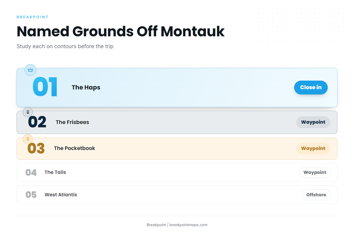
Five names come up for the offshore water here. Start with The Haps, the only one described as close, and work outward toward West Atlantis. For the wider canyon picture, see the Northeast canyons (see also the Atlantic Northeast fishing guide).
- The Haps
- The Frisbees
- The Pocketbook
- The Tails
- West Atlantis
The Haps
The Haps is a named ground close to Montauk, the nearest of the five by local description.
The Frisbees
The Frisbees is a named ground off Montauk. Mark it as a waypoint and study the bottom on Chart Contours before you go.
The Pocketbook
The Pocketbook is a named ground off Montauk. As with The Frisbees, mark it and study the contours.
The Tails
The Tails is a named structure on the Montauk offshore map.
West Atlantis
West Atlantis is the direction Montauk boats run offshore. It sits at the far end of the list and sets the heading for the day.
Reading the water before you go
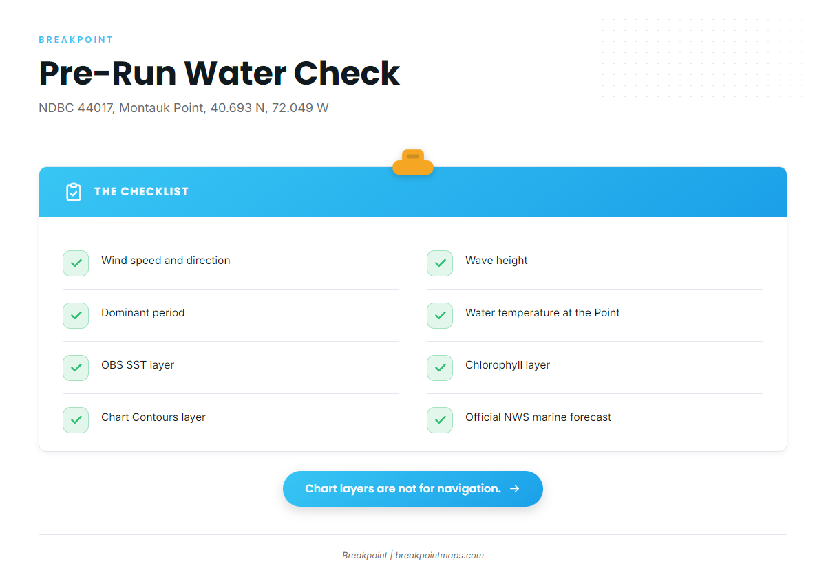
Two sources do most of the work here: the nearest NOAA buoy and the chart layers. Both give you numbers and images rather than impressions.
NDBC 44017, Montauk Point
The nearest buoy is NDBC station 44017 (Montauk Point), at 40.693 N, 72.049 W. Read these four values:
- Wind speed and direction. Wind against your heading matters on a long leg out and back.
- Wave height. It sets the size of the sea you will meet.
- Dominant period. Period alongside height tells you how the sea is built.
- Water temperature. It is a reference at the Point, not the offshore temperature.
The buoy describes Montauk Point, not the offshore grounds, so check the official NWS marine forecast before you leave.
Chart layers
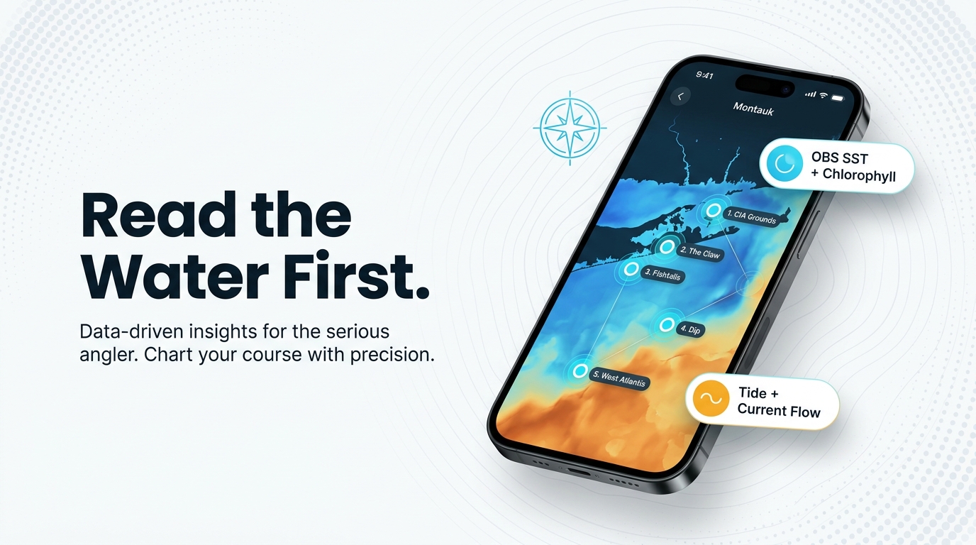
In Breakpoint, three layers help you study the grounds before the run: OBS SST, Chlorophyll, and Chart Contours. Pelagic fish often hold where a temperature edge or color change meets bottom structure. Turn on all three and look at The Haps, The Frisbees, The Pocketbook, The Tails, and the line toward West Atlantis.
Chart layers are not for navigation. Cloud can block a satellite pass, so read the date on the image.
Who fishes for yellowfin out of Montauk
Yellowfin fishing out of Montauk isn’t only for owner-operators. If you want bluefin and the other tunas on the same grounds, start with our tuna guides.
Charters
Star Island Yacht Club lists yellowfin tuna, so a charter is an option if you are not running your own boat.
Tournament fleet
The Montauk Canyon Challenge is usually held in July.
FAQ: Yellowfin tuna fishing out of Montauk
Where do Montauk boats run for yellowfin?
Boats run offshore toward West Atlantis, passing named grounds such as The Haps, The Frisbees, and The Pocketbook. Plot the distance on your own chart and plan fuel against it.
What is the closest named ground to Montauk?
The Haps is described as close to Montauk. The Frisbees, The Pocketbook, and The Tails are other local names. Study each on Chart Contours before you decide where to start.
Which buoy should I check before the run?
NDBC station 44017 (Montauk Point), at 40.693 N, 72.049 W. Read wind, wave height, dominant period, and water temperature. It describes the Point, not the grounds, so also check the NWS marine forecast.
When is the Montauk Canyon Challenge?
It is usually held in July. Treat it as a timing marker, not a promise of fish.
Can I charter instead of running my own boat?
Yes. Star Island Yacht Club in Montauk lists yellowfin tuna. Contact them directly to ask what a trip involves.
Where are the rules for Montauk yellowfin?
State waters out to 3 miles fall under NYSDEC. The offshore grounds are federal waters under NOAA Fisheries Atlantic HMS. Check both agencies before fishing.