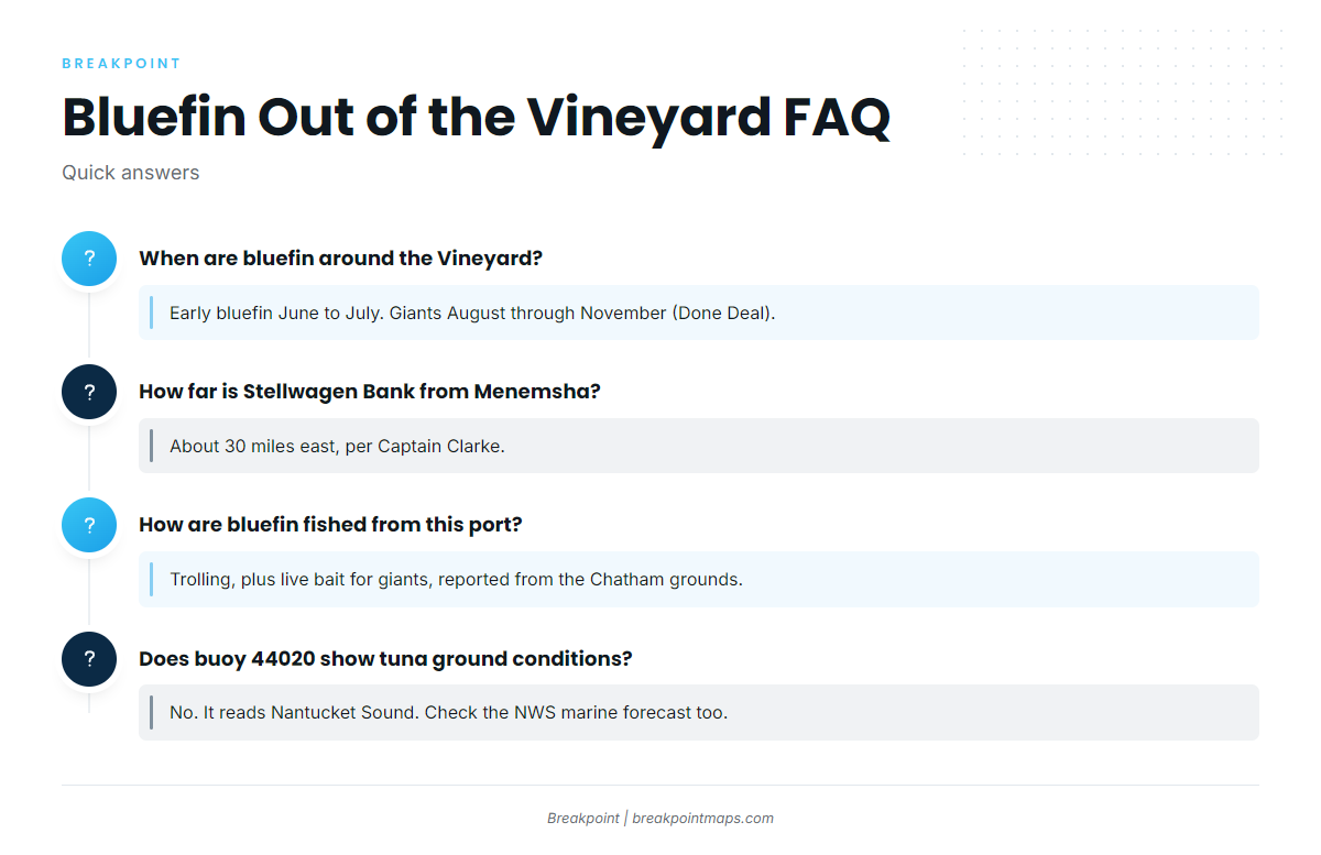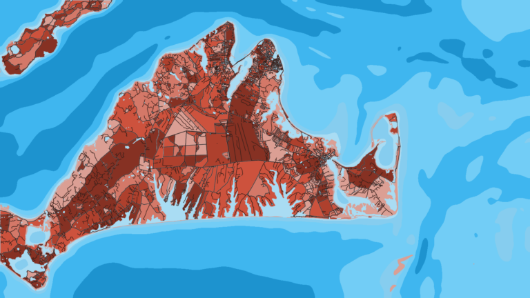
Atlantic bluefin fishing out of Martha’s Vineyard depends on two choices: which seasonal window you’re fishing and which direction you run. This guide is for anglers running their own boat from Martha’s Vineyard, with Menemsha as the reference point for distance. General behavior of Atlantic bluefin tuna is covered on the species page. Here you’ll find the season split, where boats run and how far, the island’s named structure, local methods, where to read conditions, and who fishes bluefin from the port. It points you toward better places to look and does not promise fish.
When bluefin are around Martha’s Vineyard
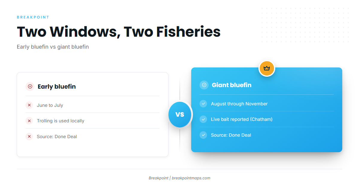
The season runs in two parts: early bluefin from June to July, and giants from August through November. The wider migration behind these windows is covered under Northeast bluefin (see also the Atlantic Northeast offshore fishing guide).
Sources differ at the edges. Done Deal lists giants August through November, while Fishsticks puts bluefin at the port from June into fall.
| Window | Months | Source |
|---|---|---|
| Early bluefin | June to July | Done Deal |
| Giants | August through November | Done Deal |
| Bluefin at the port | June into fall | Fishsticks |
Early bluefin
Plan on trolling for the June to July window. Method detail is in the trolling subsection below.
Giants
Giants run August through November, per Done Deal. Live bait for giants is reported from the Chatham grounds; see the live bait subsection below.
Where boats run from Martha’s Vineyard
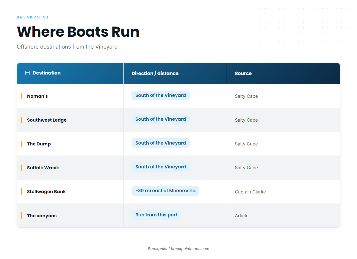
Boats run three ways from here: south of the Vineyard, east to Stellwagen Bank, and out to the canyons. Distances are measured from Menemsha. Only Stellwagen has a stated distance, about 30 miles east. The other grounds are named by direction only, so plot your own run before you leave the dock.
| Destination | Direction or distance as given | Source |
|---|---|---|
| Noman’s | South of the Vineyard | Salty Cape reports |
| Southwest Ledge | South of the Vineyard | Salty Cape reports |
| The Dump | South of the Vineyard | Salty Cape reports |
| Suffolk Wreck | South of the Vineyard | Salty Cape reports |
| Stellwagen Bank | About 30 miles east of Menemsha | Captain Clarke |
| The canyons | Offshore |
South of the Vineyard: Noman’s, Southwest Ledge, the Dump and Suffolk Wreck
Salty Cape’s Vineyard tuna reports put the boats south of the Vineyard around Noman’s, Southwest Ledge, the Dump and Suffolk Wreck. Noman’s refers to Noman’s Land, the island south of Aquinnah. Treat the area around it as a run destination to plot on your own chart; this page doesn’t give enough detail to navigate by.
Stellwagen Bank
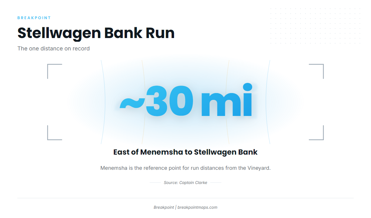
Captain Clarke puts Stellwagen Bank about 30 miles east of Menemsha. It is the only east-side run on the list.
The canyons
The canyons are the longest run on the list.
Grounds and structure near the island
Closer in, the island’s named shoals and rips serve as local landmarks for orientation. They are not the bluefin run destinations above. The depth given for the local grounds is about 60 ft.
- Middle Ground: 3 ft, north side of the Vineyard, about 2.5 NM long east to west.
- Bow Bell: western end of Middle Ground.
- Lucas Shoal: Vineyard Sound, off Oak Bluffs and East Chop.
- Tom’s Shoal: near Wasque, Chappaquiddick.
- Mutton Shoal: Wasque area.
- Squibnocket: west end of the Vineyard. A named striped bass spot.
- Devil’s Bridge: a named striped bass spot on the Vineyard.
- Rips off Gay Head Cliffs: western Vineyard, near Aquinnah.
Squibnocket and Devil’s Bridge are striped bass spots, so use them for bearings rather than as bluefin marks.
How bluefin are fished here
Two methods show up locally: trolling, and live bait for giants. Rigging and spread detail is in our tuna fishing guides.
Trolling
Trolling is the method to plan around for the early window.
Live bait for giants
Live bait for giants is reported from the Chatham grounds and fits the August through November window.
Reading conditions at 44020
NOAA NDBC station 44020 sits in Nantucket Sound at 41.497 N, 70.283 W. Pull wind, wave height and period from NDBC station 44020 data. The buoy reads conditions inside the sound, not on the grounds south of Noman’s. For the offshore picture, read the NWS Nantucket Sound marine forecast and compare the numbers before you commit to a run. Chart layers are not for navigation.
Who fishes for bluefin from Martha’s Vineyard
Four local charters list Atlantic bluefin tuna:
- Captain Clarke Charters: Femme Fatale. Captain Clarke is also the source for the Stellwagen distance above.
- Done Deal Charters: vessel Done Deal. Captain Canha is named on the site.
- Local Tide Charters: the 32 ft 2005 Regulator Jo B and a 17 ft Yellowfin skiff.
- Fishsticks Charters: lists Atlantic bluefin tuna.
FAQ about Atlantic bluefin tuna fishing out of Martha’s Vineyard
When are bluefin around Martha’s Vineyard?
Early bluefin show up June to July, and giants run August through November, per Done Deal. Fishsticks says June into fall. Plan around the window that matches the fish you want, and expect the edges of each season to vary.
How far is Stellwagen Bank from Menemsha?
Stellwagen Bank is about 30 miles east of Menemsha, according to Captain Clarke. Boats also run south of the Vineyard and out to the canyons, but Stellwagen is the only east-side run on the list.
Where do boats run south of the Vineyard for bluefin?
Salty Cape reports name Noman’s, Southwest Ledge, the Dump and Suffolk Wreck south of the Vineyard. The island’s inshore shoals and rips are landmarks for orientation, not bluefin run destinations.
How are bluefin fished from this port?
Trolling is used locally, and early bluefin fishing out of Martha’s Vineyard leans on it. Live bait for giants is reported from the Chatham grounds and matches the giant window.
Does buoy 44020 show conditions on the tuna grounds?
No. Station 44020 sits in Nantucket Sound at 41.497 N, 70.283 W and reads conditions in the sound. Check wind, wave height and period there, then read the NWS marine forecast for the offshore picture.