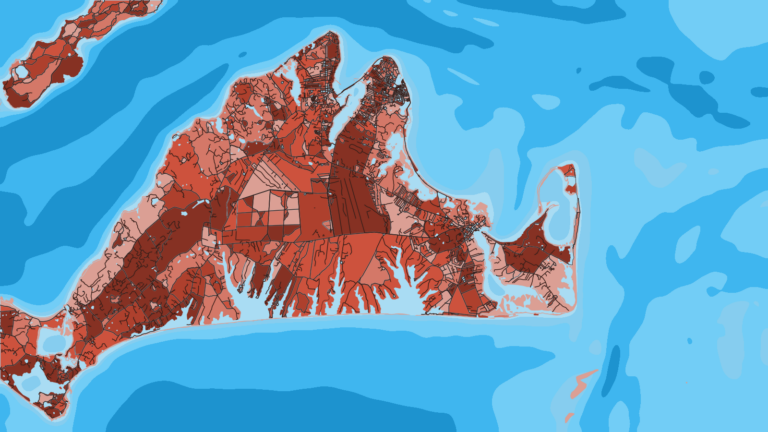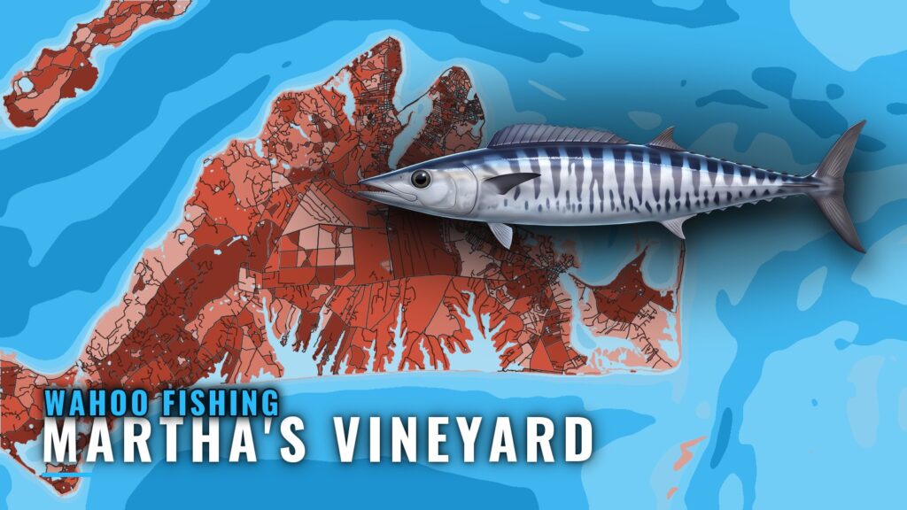
Wahoo fishing out of Martha’s Vineyard happens at the canyons, in a window that runs July through September. The data that decides your day comes from a closer source: NOAA NDBC station 44020 in Nantucket Sound. This page covers the season, the grounds you pass on the way out, how to read the buoy, and which local charters list wahoo. For the port itself, start with our Martha’s Vineyard page.
When wahoo are around Martha’s Vineyard
Wahoo are a short-window target from this port. Plan around the months, then use the buoy and the forecast to pick the day.
Season window
Done Deal Charters lists July through September for wahoo. For general biology and how the fish behave elsewhere, see our wahoo species guide.
Where boats run for wahoo
Boats from the Vineyard run to the canyons for wahoo, and the rest of the trip is organized around getting there.
The canyons
The canyon edge is the destination. For which canyons matter and how they fish across the region, see the Northeast regional picture (see also the Atlantic Northeast offshore fishing guide).
Leaving the island
The trip starts inside, through Vineyard Sound or Nantucket Sound, past the named grounds listed in the next section. Those grounds are inshore structure on the departure side, not wahoo grounds. For local navigation detail on the sounds and island harbors, use the U.S. Coast Pilot 2.
Grounds and structure near the Vineyard
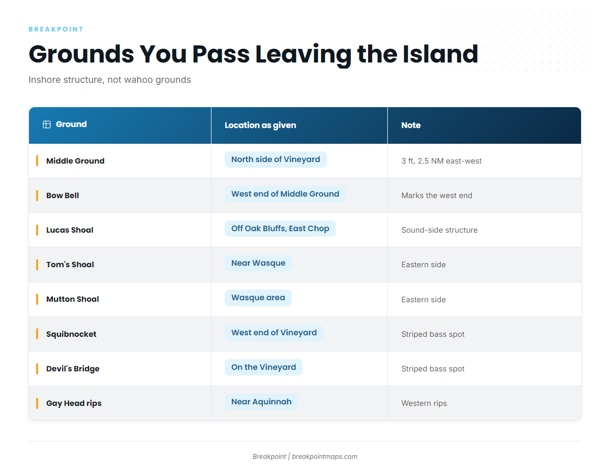
These are the named grounds you pass on the way out. They hold inshore fish, not wahoo.
| Ground | Location as given | Note |
|---|---|---|
| Middle Ground | North side of the Vineyard | 3 ft, about 2.5 NM long east to west |
| Bow Bell | Western end of Middle Ground | Marks the west end |
| Lucas Shoal | Vineyard Sound, off Oak Bluffs and East Chop | Sound-side structure |
| Tom’s Shoal | Near Wasque, Chappaquiddick | Eastern side |
| Mutton Shoal | Wasque area | Eastern side |
| Squibnocket | West end of the Vineyard | Named striped bass spot |
| Devil’s Bridge | On the Vineyard | Named striped bass spot |
| Rips off Gay Head Cliffs | Western Vineyard near Aquinnah | Western rips |
Middle Ground and Bow Bell
Middle Ground sits on the north side of the Vineyard at 3 ft and runs about 2.5 NM east to west. Bow Bell marks its western end.
Lucas Shoal
Lucas Shoal is in Vineyard Sound, off Oak Bluffs and East Chop.
Tom’s Shoal and Mutton Shoal
Tom’s Shoal is near Wasque on Chappaquiddick. Mutton Shoal is in the Wasque area.
Squibnocket, Devil’s Bridge and the Gay Head rips
Squibnocket, at the west end of the Vineyard, and Devil’s Bridge are both named striped bass spots. The rips off Gay Head Cliffs are near Aquinnah.
How wahoo are fished from this port
A canyon trip from the Vineyard starts the night before, when you decide where to look before committing fuel and a day to the run.
Planning the canyon run
Check OBS SST and Chart Contours to choose where to look. The chart layers are not for navigation. Wahoo trips also share the canyon with other offshore species, which our offshore gamefish guides cover.
Reading buoy 44020
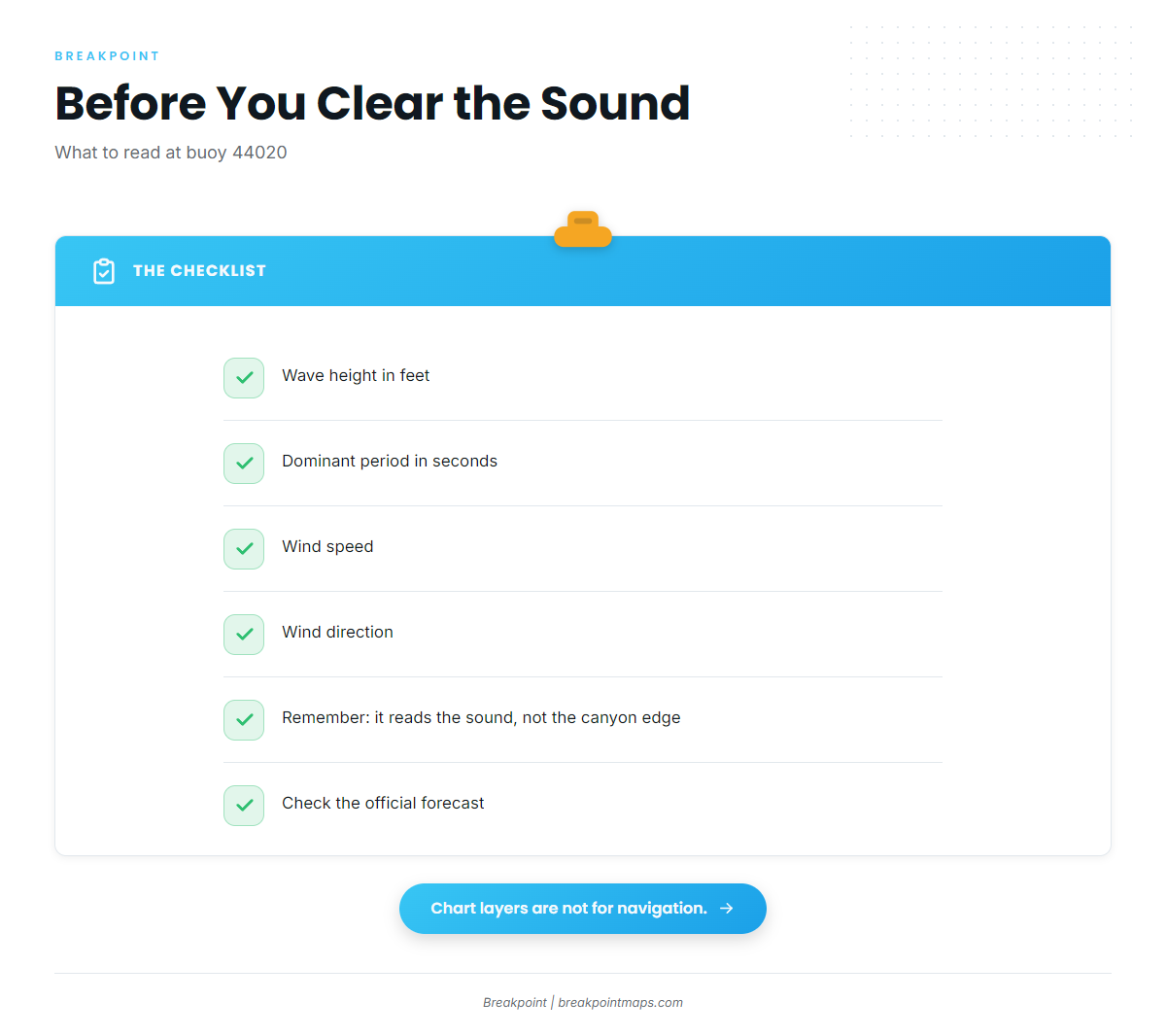
The nearest buoy is NOAA NDBC station 44020, in Nantucket Sound at 41.497 N, 70.283 W. Three readings matter:
- Wave height in feet
- Dominant period in seconds
- Wind speed and direction
The buoy has a limit. Because 44020 sits in Nantucket Sound, its numbers describe the water you leave through, not conditions at the canyon edge. Read wave height, dominant period and wind there before you clear the sound, then check the official forecast.
Who fishes for wahoo out of Martha’s Vineyard
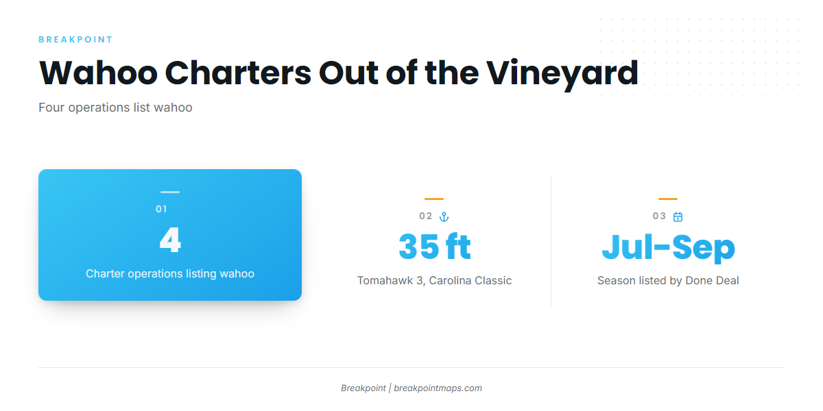
Four local operations list wahoo. If you want to see the run before making it in your own boat, start with one of them.
Tomahawk Charters
Capt. Buddy Vanderhoop runs Tomahawk Charters. The boat is the 35 ft Carolina Classic, Tomahawk 3.
Captain Clarke Charters
The vessel at Captain Clarke Charters is Femme Fatale.
Done Deal Charters
Done Deal Charters fishes the vessel Done Deal, and Captain Canha is named on the site. It is the operation that lists July through September.
Fishsticks Charters
Fishsticks Charters also lists wahoo.
FAQ on wahoo fishing out of Martha’s Vineyard
When is wahoo season at Martha’s Vineyard?
Done Deal Charters lists July through September. Boats run to the canyons in that window.
Where do boats run for wahoo from the Vineyard?
To the canyons. The local shoals, Middle Ground and Lucas Shoal among them, are departure-side structure and not wahoo grounds.
Which buoy should I check before a canyon run?
NOAA NDBC 44020 in Nantucket Sound. Read wave height in feet, dominant period in seconds, and wind speed and direction. It describes the sound, not the canyon edge, so finish with the official forecast.
Which Martha’s Vineyard charters list wahoo?
Four: Tomahawk Charters (Capt. Buddy Vanderhoop), Captain Clarke Charters, Done Deal Charters and Fishsticks Charters.
Where are the rules for wahoo from this port?
Check the Massachusetts regulations page and the federal rules before fishing, because canyon trips leave state waters. Both are linked in the Regulations section above.