When yellowfin are here
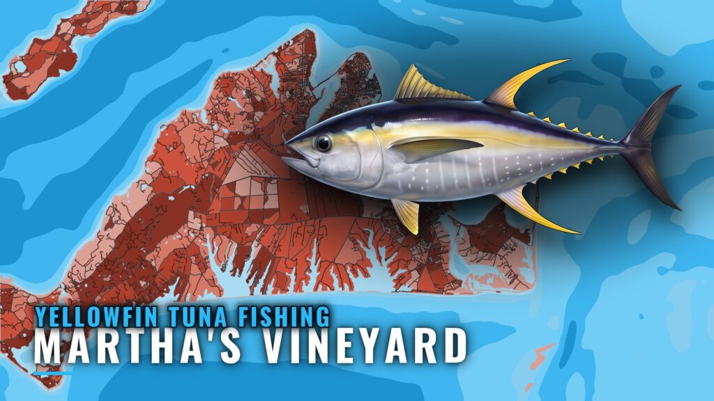
Yellowfin tuna fishing out of Martha’s Vineyard runs from June through November. Boats leave from the south coast of the island for the Claw, Tuna Ridge, the Dump and the canyons. This page is for anglers running their own boat and covers when, where, how and who fishes yellowfin from this port. For the fish itself, see our yellowfin tuna fishing guide.
Season window
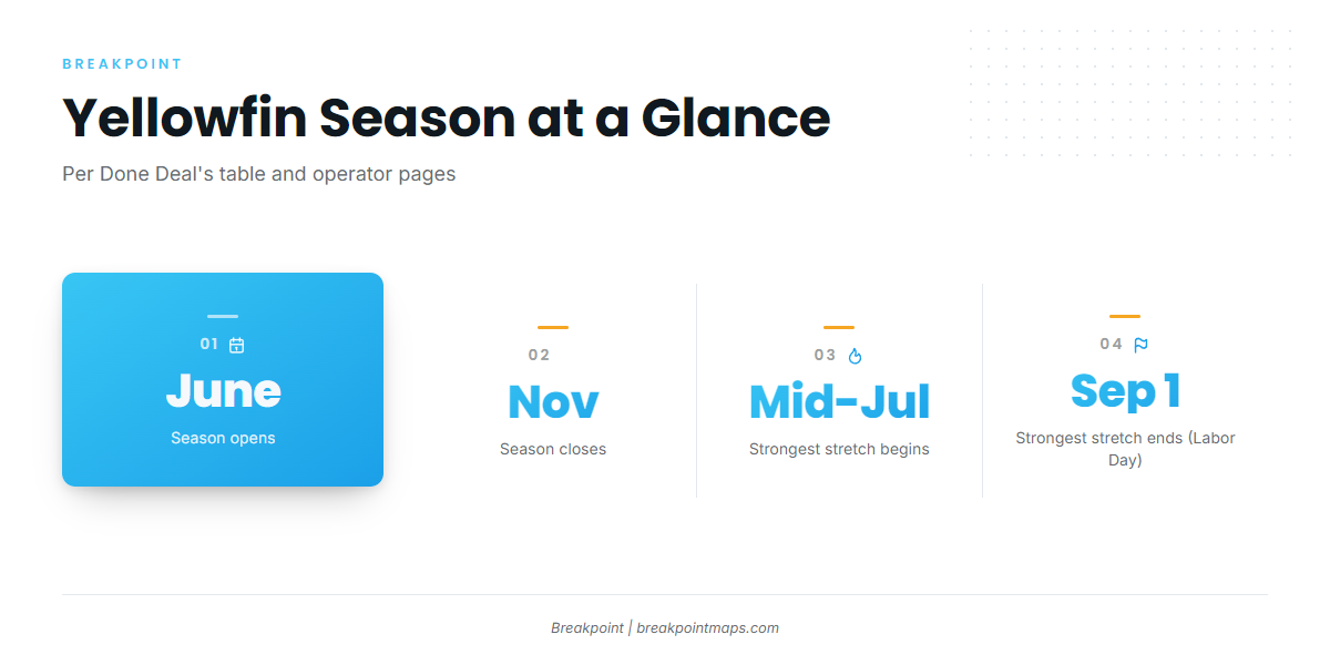
Done Deal’s season table lists June through November for yellowfin. Operator pages put the strongest fishing from mid-July to Labor Day. For the wider regional picture, see how the Northeast yellowfin run builds (see also the Atlantic Northeast offshore fishing guide) along the coast.
| Window | Source |
|---|---|
| June through November | Done Deal Charters season table |
| Mid-July to Labor Day (strongest) | Operator pages |
Where boats run
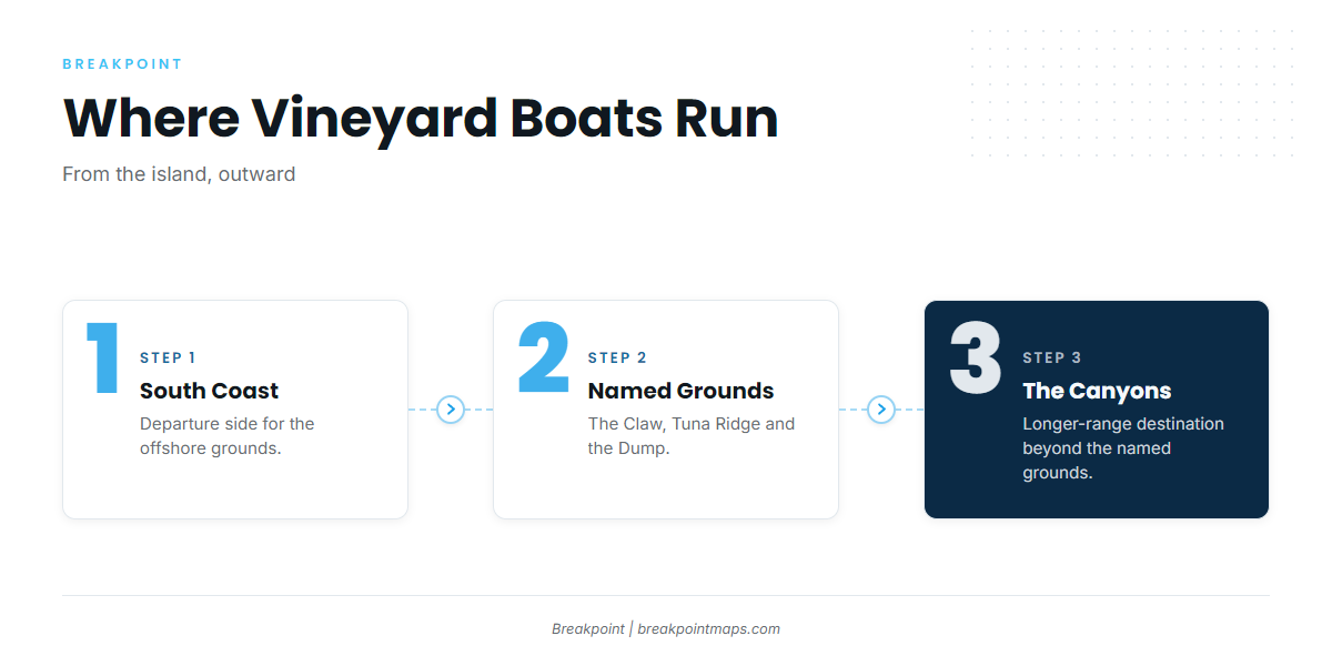
Vineyard boats leave from the south coast of the island and run toward the Claw, Tuna Ridge and the Dump, then go farther out to the canyons. The progression goes from the island outward, with the canyons last.
The Claw, Tuna Ridge and the Dump
These three grounds are named in Salty Cape tuna fishing reports. They are the place to start when planning a day.
- The Claw
- Tuna Ridge
- The Dump
The canyons
The canyons are the longer-range destination beyond the named grounds. Boats go there when the closer water isn’t holding what they want.
Reading conditions before the run
The nearest NOAA buoy is NDBC station 44020 in Nantucket Sound, at 41.497 N, 70.283 W. The NDBC station 44020 readings give wind speed and direction, wave height and dominant period, all as numbers.
The buoy reports Sound conditions, which can differ from what you’ll find at the Claw or the canyons, so check the NWS marine forecast for the offshore picture. Read OBS SST and Chart Contours south of the island before committing to the canyons. Chart layers are not for navigation.
Inshore structure is not tuna water
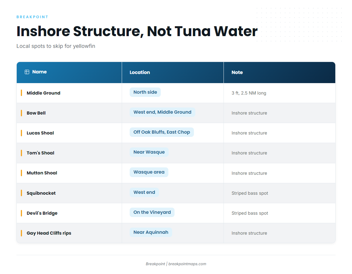
The shoals and rips around the Vineyard are inshore structure, not yellowfin grounds. Squibnocket and Devil’s Bridge are named striped bass spots.
| Name | Location | Note |
|---|---|---|
| Middle Ground | North side of the Vineyard | 3 ft, about 2.5 NM long east to west |
| Bow Bell | Western end of Middle Ground | Inshore structure |
| Lucas Shoal | Vineyard Sound, off Oak Bluffs and East Chop | Inshore structure |
| Tom’s Shoal | Near Wasque, Chappaquiddick | Inshore structure |
| Mutton Shoal | Wasque area | Inshore structure |
| Squibnocket | West end of the Vineyard | Named striped bass spot |
| Devil’s Bridge | On the Vineyard | Named striped bass spot |
| Rips off Gay Head Cliffs | Western Vineyard near Aquinnah | Inshore structure |
How yellowfin are fished locally
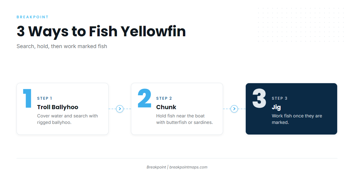
Vineyard boats fish yellowfin three ways: trolling rigged ballyhoo, chunking butterfish or sardines, and jigging. They are used in that order: search the water, hold the fish, then work the ones that mark.
Trolling rigged ballyhoo
Trolling covers water, which makes it the search method. Rigged ballyhoo is the bait boats run.
Chunking butterfish or sardines
Chunking holds fish near the boat once you’ve found them. For rigging and chunking detail, see the tuna guides.
Jigging
Jigging works fish once they are marked. Drop to what the machine shows.
Who fishes yellowfin from the Vineyard
Three Vineyard charters list yellowfin tuna:
- Captain Clarke Charters, aboard Femme Fatale.
- Done Deal Charters, vessel Done Deal, with Captain Canha named on the site.
- Fishsticks Charters.
FAQ: yellowfin tuna out of Martha’s Vineyard
When is the season for yellowfin tuna fishing out of Martha’s Vineyard?
Done Deal Charters’ season table lists June through November. Operator pages put the strongest fishing from mid-July to Labor Day.
Where do Vineyard boats go for yellowfin?
Boats run off the south coast to the Claw, Tuna Ridge and the Dump, which are named in Salty Cape reports. From there they go on to the canyons.
Are the Wasque shoals tuna spots?
No. Tom’s Shoal and Mutton Shoal near Wasque and Chappaquiddick are inshore structure, not yellowfin grounds.
What methods work for yellowfin here?
Boats troll rigged ballyhoo, chunk butterfish or sardines, and jig.
Which buoy should I check?
Use NDBC station 44020 in Nantucket Sound, at 41.497 N, 70.283 W. It reports Sound conditions rather than the offshore grounds, so also check the NWS marine forecast.