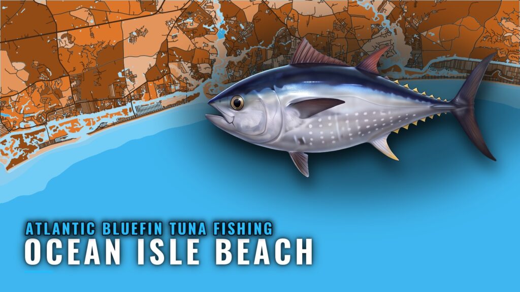
Atlantic bluefin tuna fishing out of Ocean Isle Beach is a winter fishery. The clearest local signal is December trips, with boats running offshore past Holden Beach toward the Frying Pan Tower area. If you launch from Ocean Isle Beach, this guide covers the timing, the run, and the named structure on the way out.
When bluefin are off Ocean Isle Beach
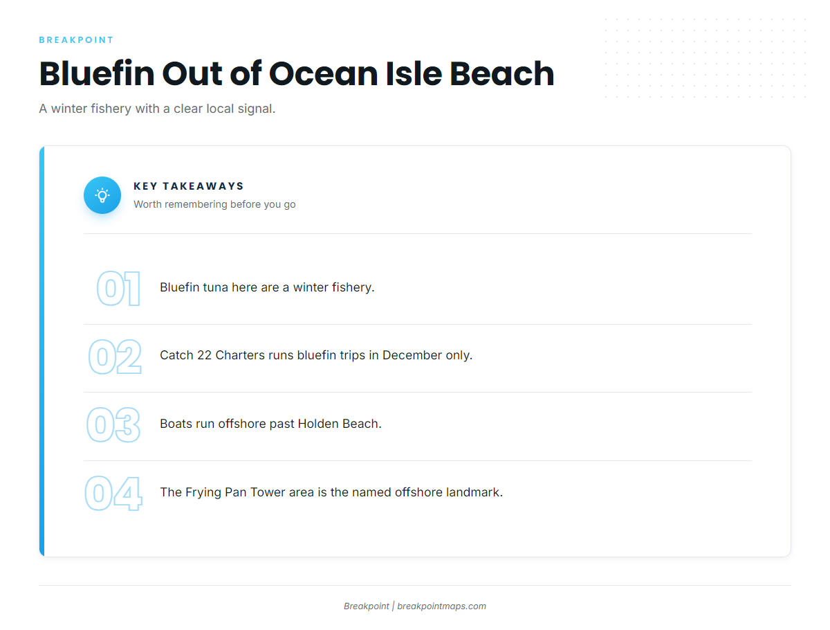
Bluefin here run on a winter clock, and two local sources set it.
December trips
Catch 22 Charters runs its bluefin trips in December only, which makes it the sharpest timing marker on this stretch of coast.
The winter window
A local realty fishing guide (Hobbs) places bluefin here in the winter months. For the wider winter picture along the Southeast coast (see also the Atlantic Southeast region guide), the regional guide covers the migration context.
Where boats run
Boats run offshore, past the beach and inlets, to open water well outside the reefs.
Offshore off Holden Beach
Catch 22 lists its bluefin trips as running in the offshore waters off Holden Beach. That is the working destination for the December fishery.
Frying Pan Tower area
The Hobbs guide places winter bluefin near the Frying Pan Tower area, the named offshore landmark for this fishery.
Reading buoy 41013
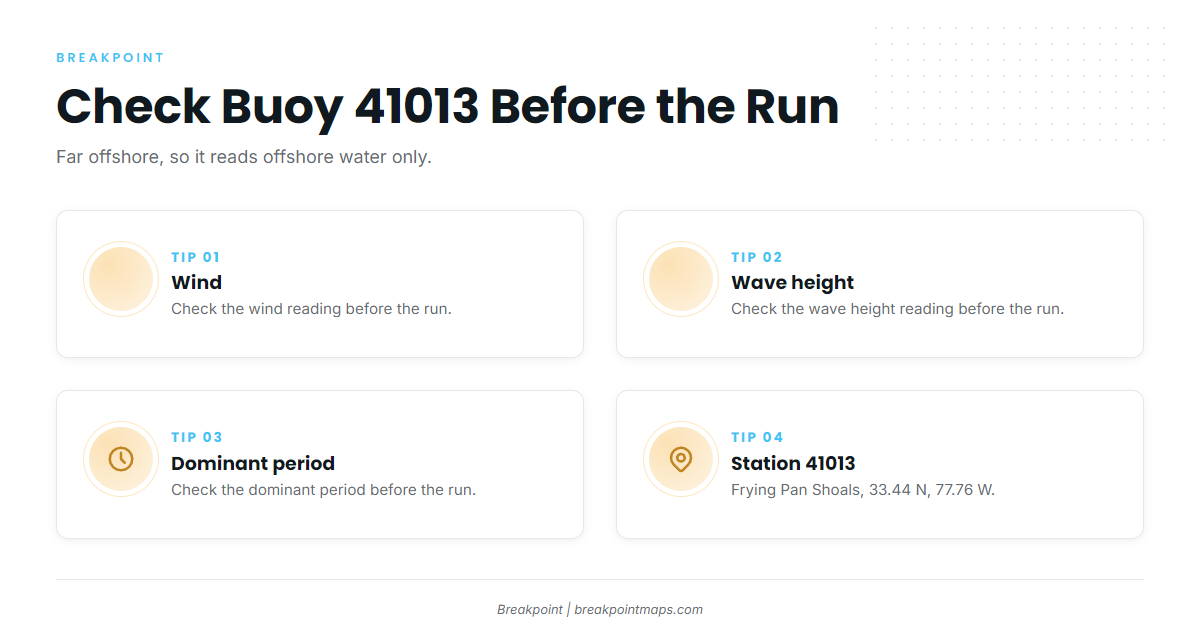
NOAA’s National Data Buoy Center station 41013, Frying Pan Shoals, sits at 33.44 N, 77.76 W. It is far offshore, so it reports offshore water and says little about the inlet bar or nearshore conditions.
Check these three readings before the run:
- Wind
- Wave height
- Dominant period
Then check the official marine forecast for your zone. Those numbers decide whether you go.
Grounds and structure on the way out
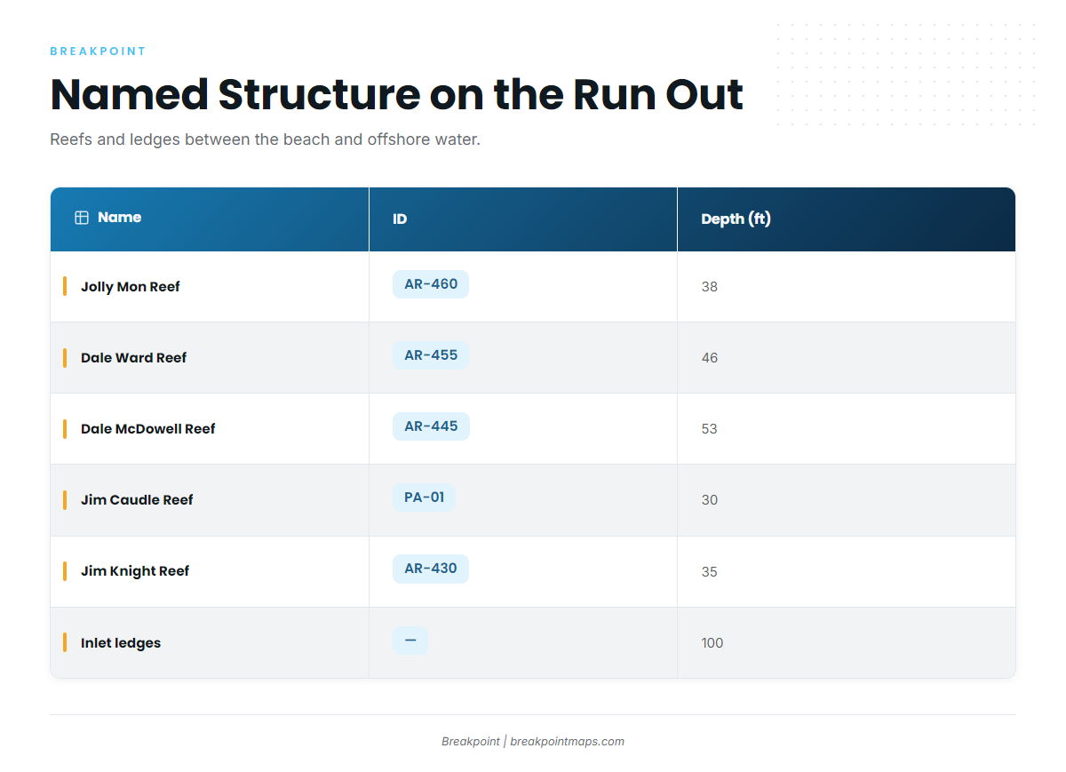
The reefs and ledges below sit between the beach and the offshore water. Treat them as landmarks and waypoints on the route rather than as bluefin spots.
| Name | ID | Depth (ft) | Location |
|---|---|---|---|
| Jolly Mon Reef (Fisherman’s Reef in one vendor list) | AR-460 | 38 | Just outside Shallotte Inlet |
| Dale Ward Reef | AR-455 | 46 | About 7 nm from Shallotte Inlet |
| Shallotte Inlet ledges | – | 100 | – |
| Dale McDowell Reef | AR-445 | 53 | About 9.3 nm from Lockwood Folly Inlet |
| Lockwood Folly Inlet ledges | – | 100 | – |
| Jim Caudle Reef | PA-01 | 30 | Just outside Little River Inlet |
| Jim Knight Reef | AR-430 | 35 | – |
| Brunswick County Fishing Club Reef | AR-440 | – | – |
Load the reefs and ledges against Chart Contours before the run. Chart layers are not for navigation.
Off Shallotte Inlet
Jolly Mon Reef (AR-460) sits just outside the inlet in 38 ft. Dale Ward Reef (AR-455) is about 7 nm out in 46 ft. The Shallotte Inlet ledges sit at 100 ft.
Off Lockwood Folly Inlet
Dale McDowell Reef (AR-445) is about 9.3 nm from the inlet in 53 ft. The Lockwood Folly Inlet ledges also sit at 100 ft.
Off Little River Inlet
Jim Caudle Reef (PA-01) sits just outside the inlet in 30 ft.
Other named reefs
Jim Knight Reef (AR-430) lies in 35 ft. Brunswick County Fishing Club Reef (AR-440) is another named reef on this stretch.
Who fishes for them here
Bluefin fishing here is mostly a charter fishery, and Catch 22 is the one local operation listing it.
Catch 22 Charters
Catch 22’s December-only trips are the local bluefin charter. Pickups are at Holden Beach Marina.
Tackle and methods
For tackle and technique, start with the species guide.
FAQ: Atlantic bluefin tuna out of Ocean Isle Beach
When is bluefin season out of Ocean Isle Beach?
Catch 22 Charters runs its bluefin trips in December. A local fishing guide places bluefin here in the winter months.
How far do boats run for bluefin?
Boats run offshore past Holden Beach toward the Frying Pan Tower area. The reefs and ledges along the way are waypoints, not the destination.
Do the nearshore reefs hold bluefin?
They are named structure on the run: reefs in 30 to 53 ft and ledges at 100 ft. For where bluefin feed, see the species guide.
Which buoy should I check?
NDBC 41013 Frying Pan Shoals, at 33.44 N, 77.76 W. It sits far offshore, so read its wind, wave height and dominant period as offshore numbers, and check the official marine forecast.
Is there a charter that targets bluefin here?
Catch 22 Charters runs December-only bluefin trips with pickups at Holden Beach Marina.
Where are the other tuna guides?
You can find them in our tuna guides.