



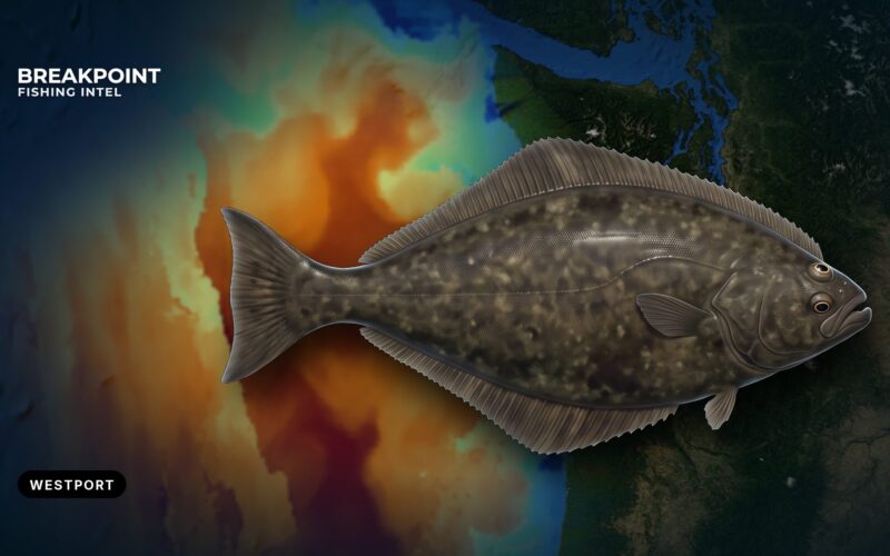
Pacific Halibut Fishing off Westport: A Private Boat Brief
Running your own boat to the halibut grounds off Westport starts with the Grays Harbor Bar and ends with the catch record card. Here is the launch, the grounds, how the quota season runs and how the state and federal rules apply.
 By Breakpoint Team
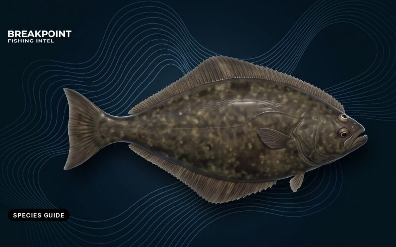
Pacific Halibut Fishing Guide: ID, Tactics and Rules
How to tell a Pacific halibut from its look-alikes, where it feeds on the tide, and how IPHC, NOAA and state rules stack from Alaska to Oregon. Includes a subarea table for Washington and Oregon anglers.
By Breakpoint Team
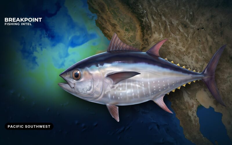
Pacific Bluefin Tuna Fishing in the Pacific Southwest
Where bluefin hold off Southern California, the 62 to 68°F water that brings them in, and how temperature edges, chlorophyll fronts and banks line up. It also covers the tactics boat-shy fish call for and a clean split of federal and CDFW rules.
By Breakpoint Team
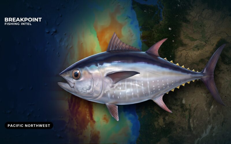
Pacific Bluefin Tuna Fishing in the Pacific Northwest
Bluefin turn up off Washington and Oregon in two patterns, juveniles with albacore far offshore and bigger fish on the outer green water. Here is how to read the water and which rules apply.
By Breakpoint Team
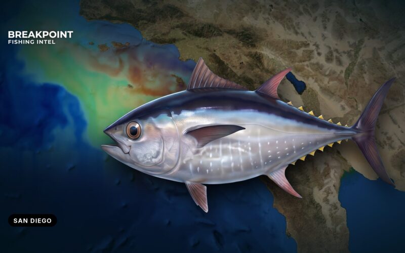
Pacific Bluefin Tuna Fishing off San Diego: A Local Guide
Where San Diego private boats run for bluefin, from the Coronado Islands to Tanner and Cortes Banks, and how to read SST, chlorophyll and contours before committing the fuel.
By Breakpoint Team
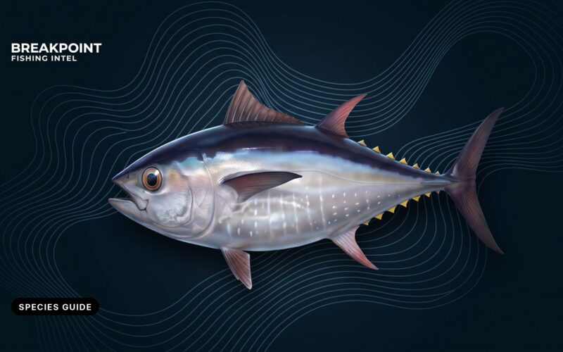
Pacific Bluefin Tuna Fishing Guide for US Anglers
How to tell Pacific bluefin from albacore and yellowfin, where the fish feed off California and the Northwest, and which agency's limit applies where you land.
By Breakpoint Team
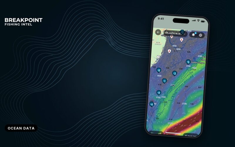
Ocean Data for Anglers: Temperature, Color and Charts
The five kinds of ocean data, the order a good captain reads them in, and why satellites, buoys, models and surveys sometimes disagree. Includes a neutral look at free official sources, chartplotter charts and map apps.
By Breakpoint Team
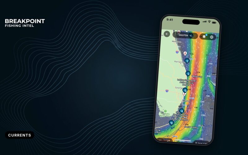
Understanding Ocean Currents and Eddies for Offshore Fishing
Eddies and current edges move every day. Learn how the Loop Current, Gulf Stream and California Current build fishable edges, and how to check them on the morning pass.
By Breakpoint Team
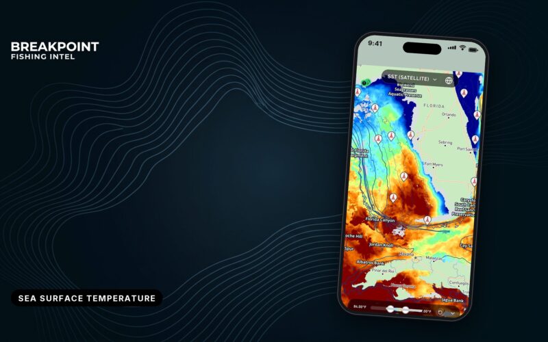
OBS SST vs HD SST: Which Temperature Layer to Use
OBS SST shows only what the satellite saw, so clouds leave blank spots, while HD SST blends a complete picture. Here is when to use each, which GOES satellite covers your water, and how to confirm an edge.
By Breakpoint Team
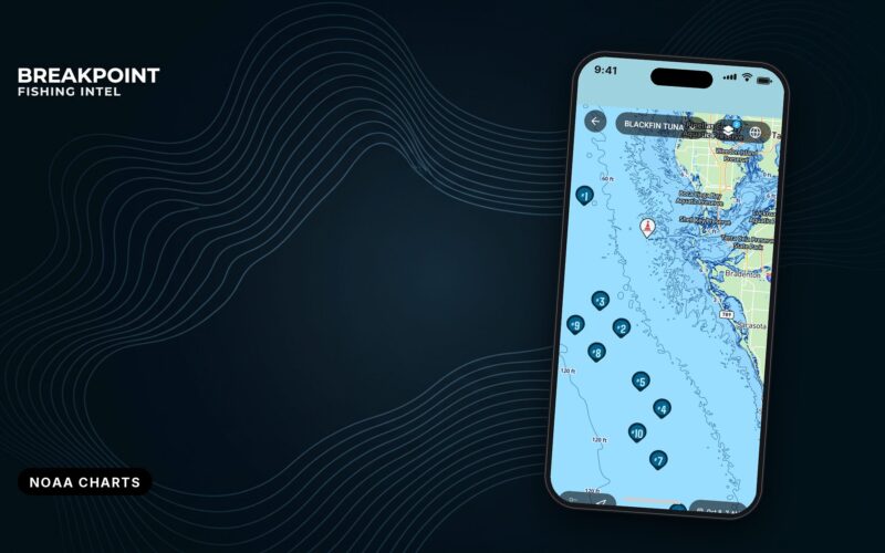
What the NOAA ENC Chart Layer Shows (and Why We Added It)
Chart Contours puts NOAA's surveyed depths beside bathymetry, structure and SST. Here is what you see at zoom 8 and zoom 10, how to read it against the tide, and where the chart runs out of answers.
By Breakpoint Team